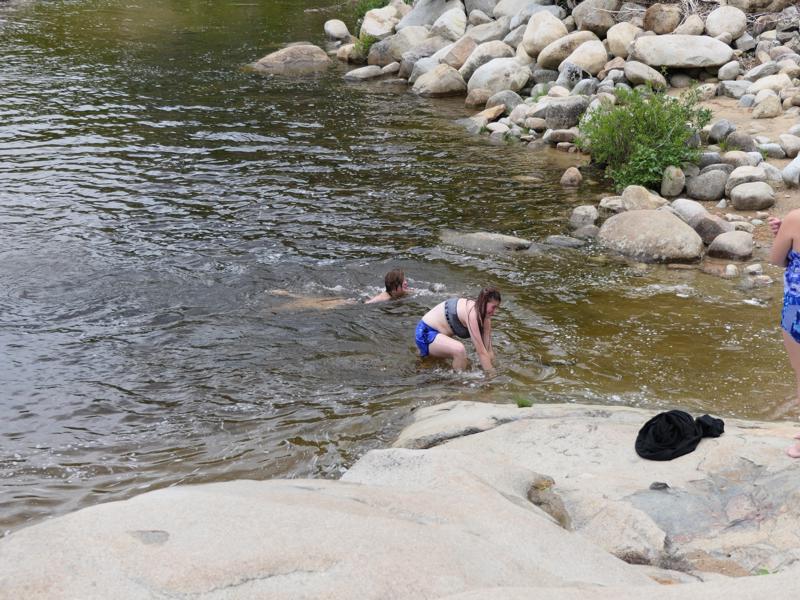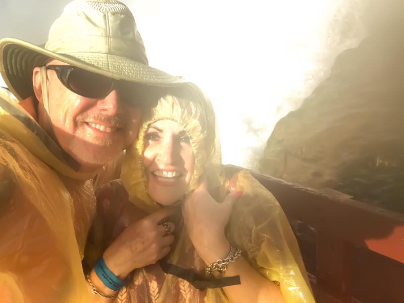
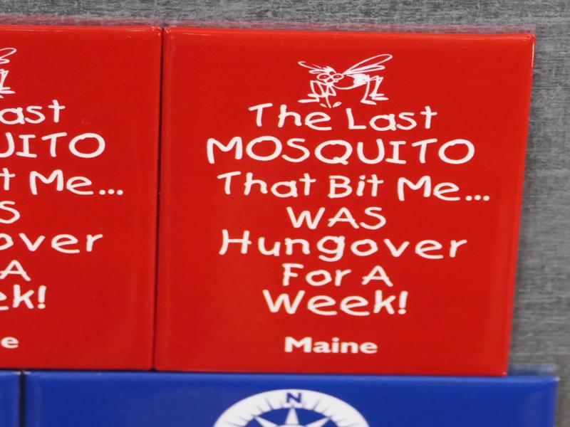
I’m going to write this very differently! Safety tips first in case you EVER come to this park! Most important tip-invest in some excellent bug spray! Their mosquitos put Texas mosquitos to shame. They are extra-large, and their bites are even worse. For some reason they like me more than they liked Zoom Zoom. I put deet everywhere except my face. Those darn bugs bit my face and neck up! Now I put that stuff all over my face and neck like it’s my new and favorite skin regimen. Secondly, wear hiking shoes to hike in! We saw so many people hiking in flip-flops, sandals, tennis shoes with no grip, and even one gentleman wearing his Sunday best dress shoes! The trails in Acadia are full of rocks. When we hiked the trails, we would be stepping on, around, and over large rocks and tree branches and logs. As we came down Cadillac Mountain, we needed the grip to help us not just slid on down the mountain to the bottom. If we were traversing a babbling brook, we were defiantly thankful for the grippy bottoms of our shoes. The water is so pretty, but it’s also so cold! Next, wear clothing appropriate for the weather. Here is where I will say please look in the mirror friends if you plan on wearing yoga pants to hike in. Not all of us were meant to wear these outsides of the perimeter of our homes. I know I’m supposed to be uplifting to all my women friends, but let’s face it some of us have a real problem with GBB (Golf Ball Butt) and it’s NOT pretty in yoga pants! Family members it’s time to tell the truth, if we ask if these make our butt look big – be honest and just tell us “no” it’s our big butts making the pants/ yoga pants look big. Also, if you are asking the question – you already know the answer! I hike in shorts or jeans. My favorite jeans to hike in are the Levi’s with the ripped knees. These bend so nicely especially when we must climb up on boulders. Last tip bring plenty of water! We see so many hikers hiking with NO water. Sure, you feel great in the parking lot before you’ve started. Climb a few hundred feet and you’ll start to feel it. When we hiked Devil’s Tower, we gave a couple bottles of water away to a family that didn’t bring any for their family. As we were hiking down the mountain this time and we would pass people we always asked if they had plenty of water because they were going to need it
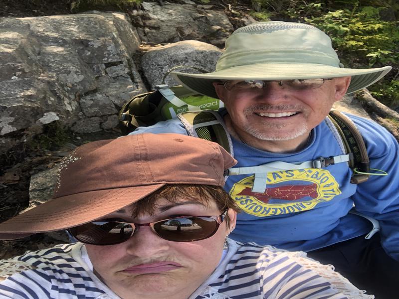
These are my great hiking jeans with the ripped knees. Zoom Zoom carries the backpack with the camelbak water bottle. We both wear Merrell hiking shoes.
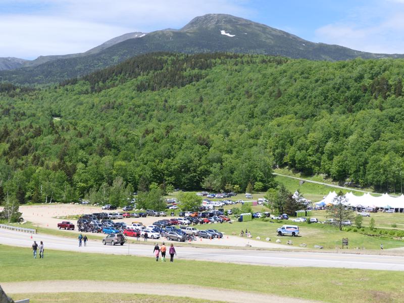
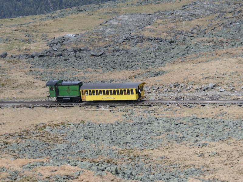
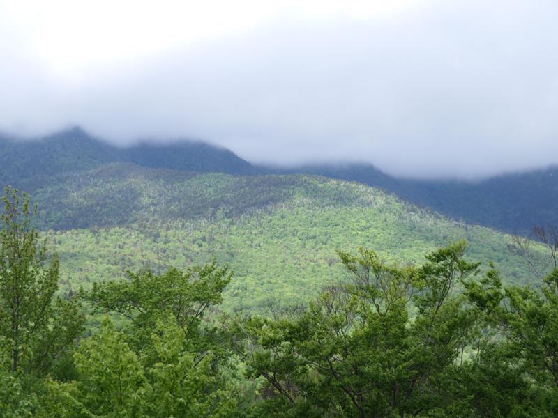
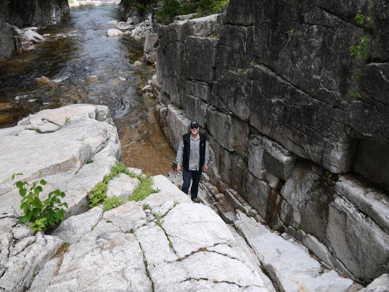
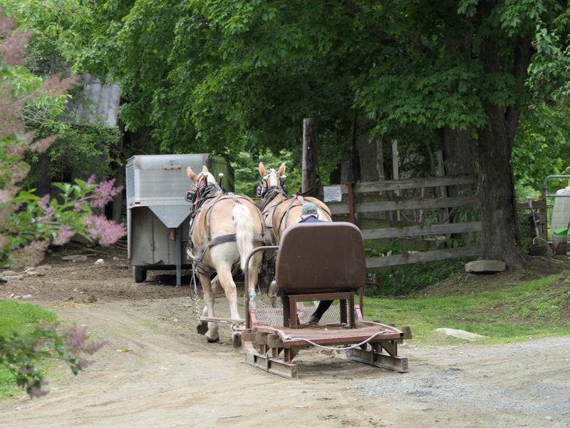
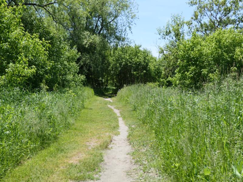
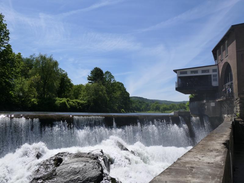
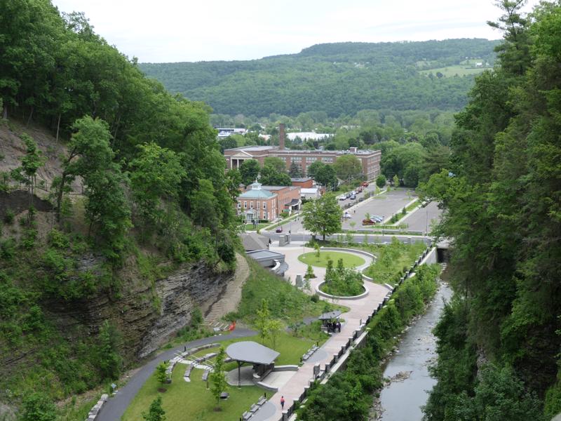
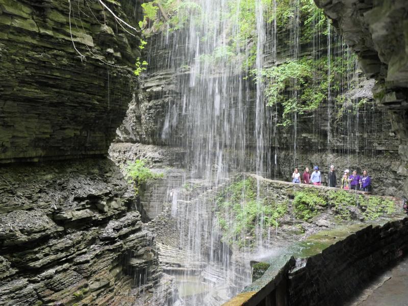
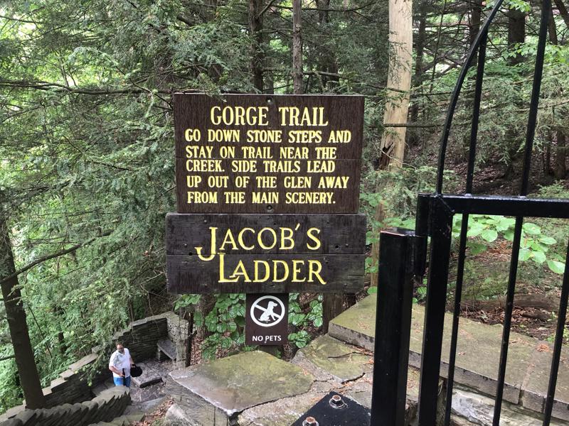
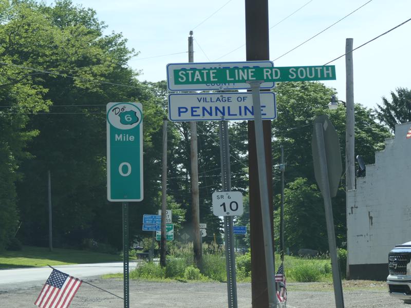
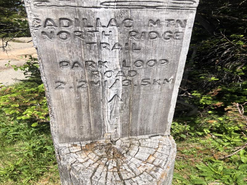
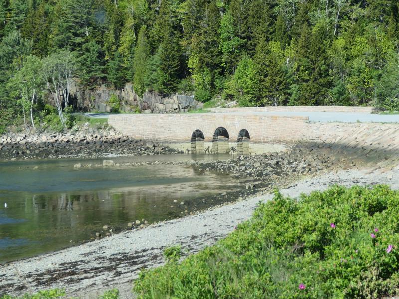
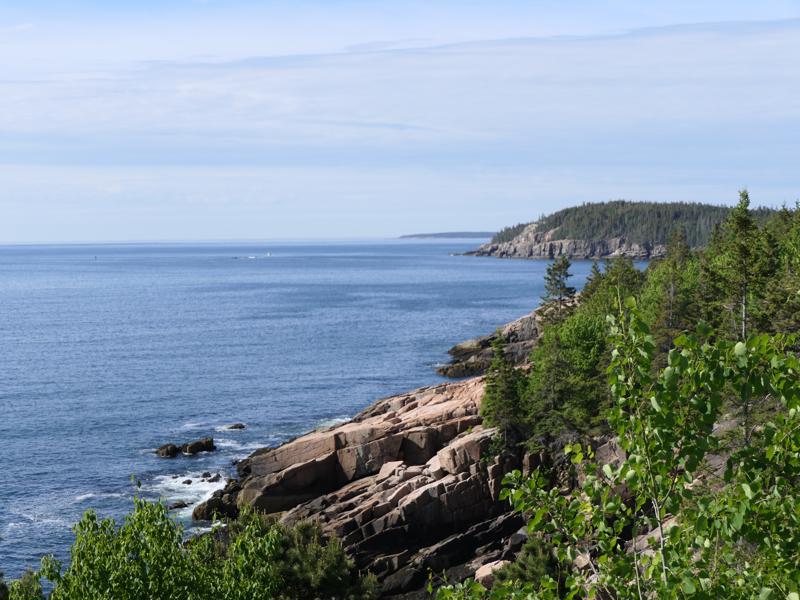
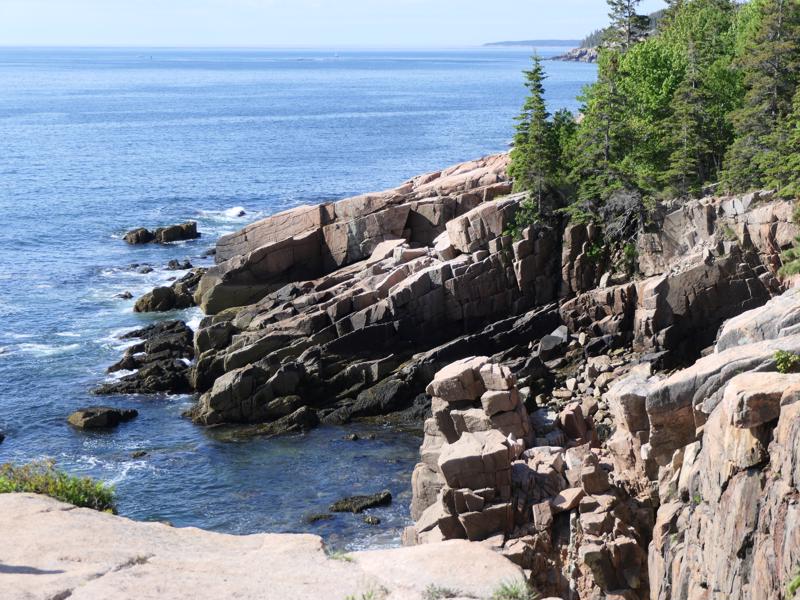
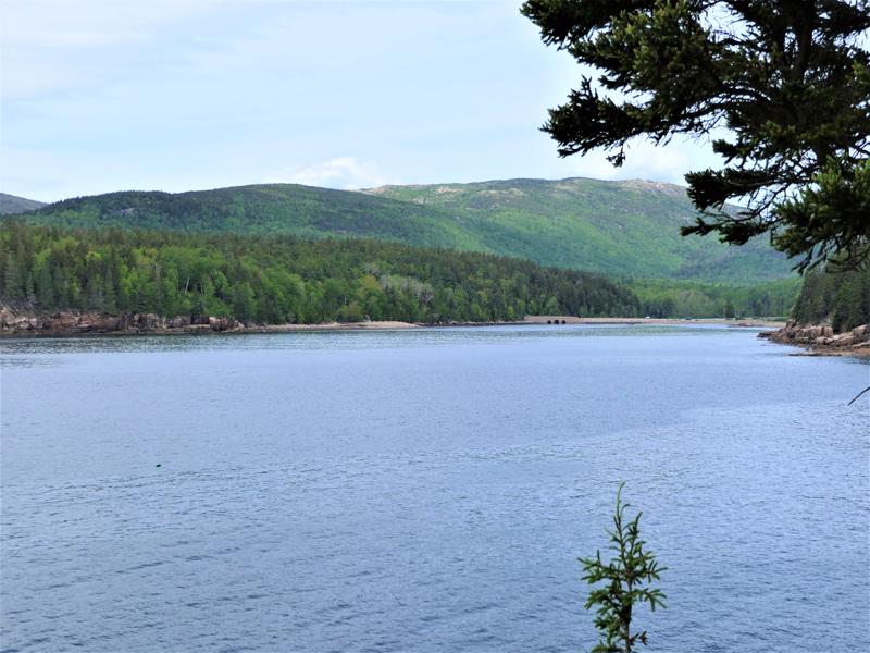
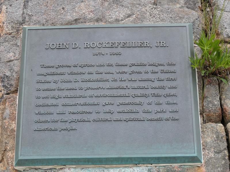
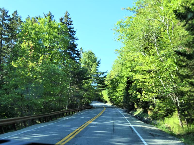
On to the nitty gritty! Acadia National Park is the nations most eastern national park. It was also the first national park whose land was entirely donated by private citizens. Of course, these citizens were wealthy members of society, but at least they were thinking ahead about conservation. Acadia is more than 49,000 acres on an island called Mount Desert (pronounced “dessert”). The park has 158 miles of hiking trails (Zoom Zoom and I proudly hiked almost 7.5 of them), and 46 miles of carriage trails for bikes and horses that Rockefellers put in before he donated his portion. Luckily there are over 500 camping spots, all primitive, which means no hook-ups. There is a road that loops around the park called Park Loop Road, it’s about 27 miles round trip. It’s a great way to see the park. The unfortunate thing is most of it is one way. The hiking trails are horribly marked with small posts and if you don’t know what you are looking for you will pass right by your trail. We did that 2 times! Then you must go around again! It’s not an easy park to navigate. Zoom Zoom accidentally found a short cut after the second miss and somehow, we found our trail head for Cadillac Mountain.
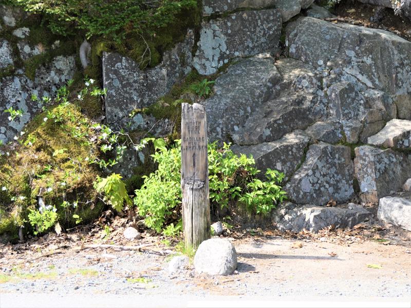
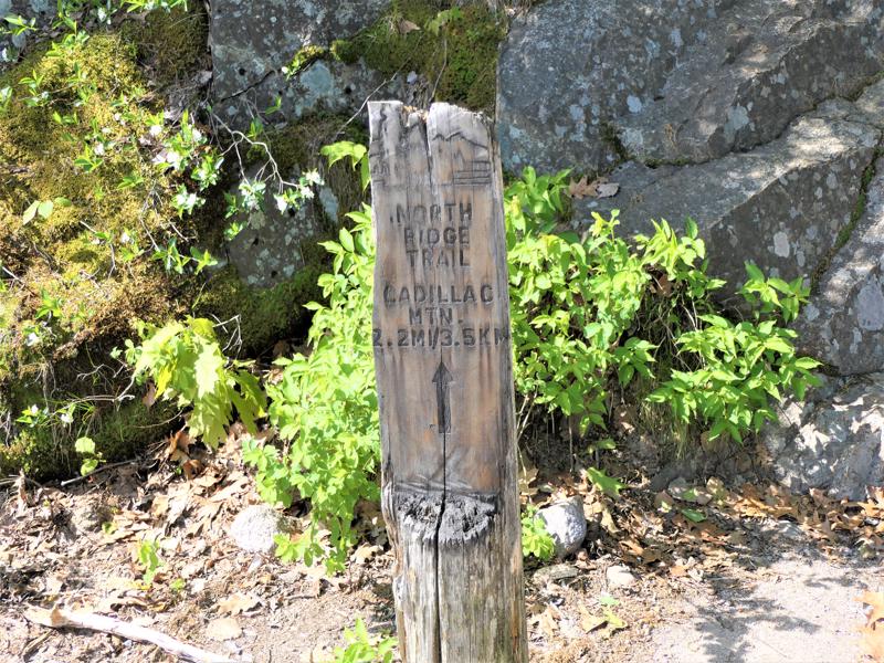
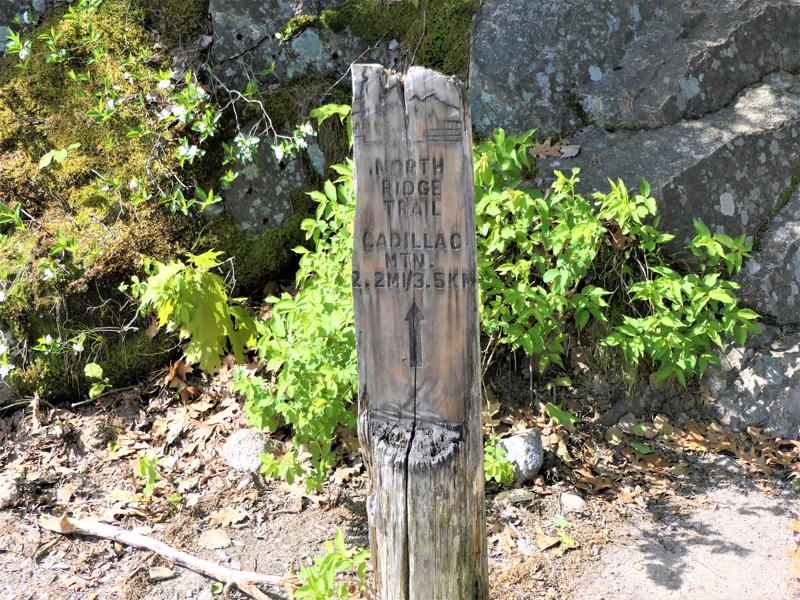
Trail marker on a tiny fence post! Plus, lies! All lies!
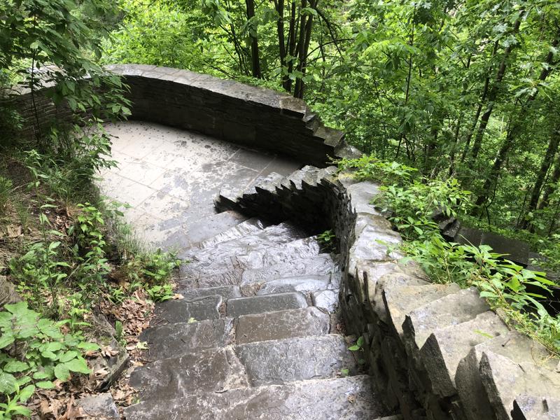
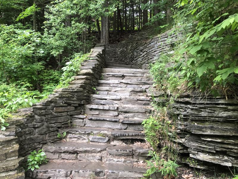
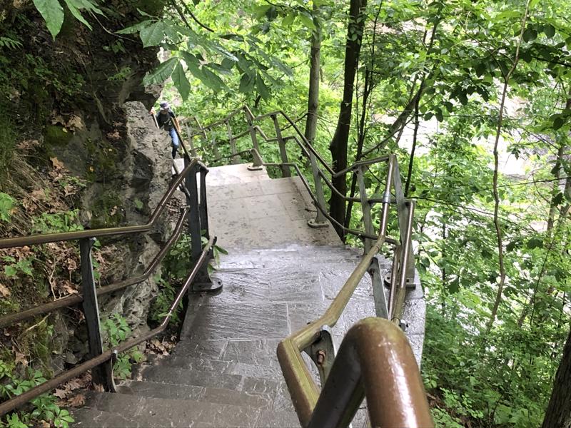
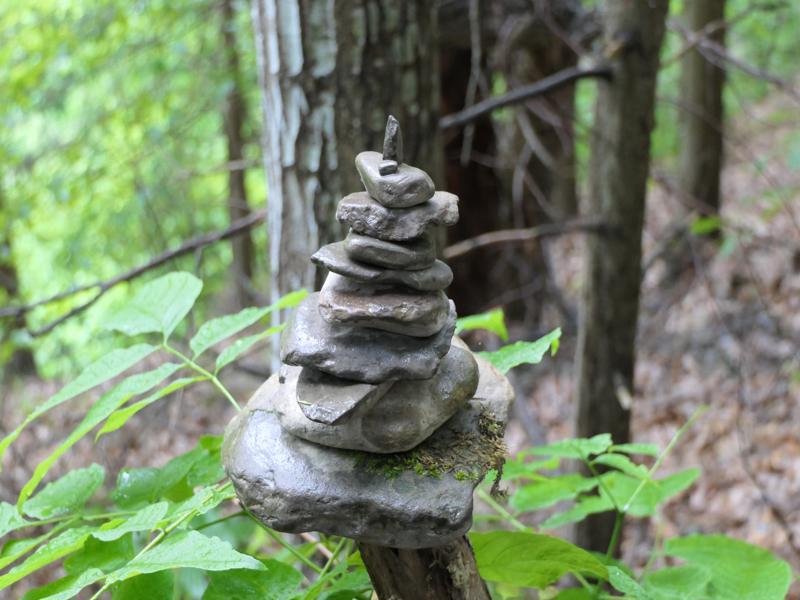
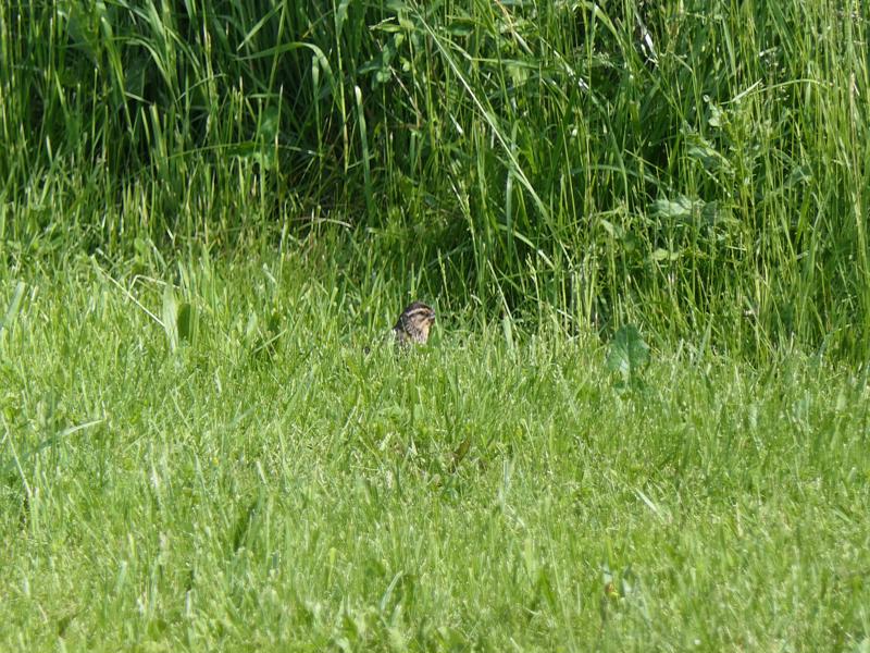
Cadillac Mountain Hike– The book we had had the trail marked as “moderate”. Oh boy, what a lie! It was at a minimum, “semi-strenuous” with a side of “whip- ass!” Both Zoom Zoom and I were taxed on the climb up. Plus, we thought the distance seemed way off. It seemed a lot farther than 2.2 miles. I guess when you are climbing almost straight up 2.2 does seem longer. The park marked the trail in two ways. One was using “cairns” (pronounced “kern”) which are stacked rocks and the other was by painting a blue dash on a boulder every 20-30 yards. Zoom Zoom figured out they painted the dash in the direction we should hike. He’s so smart! Occasionally, we would have this little panicky feeling because we wouldn’t see a blue dash and then wah-lah there would be one! The book also suggested the trail would take approximately 2.5 hours to hike, 5 hours total. It took us 6 hours total. We hiked our slow and sexy pace. Zoom Zoom has a bum knee and we didn’t want to add to it. I know you are thinking, “Then why did they hike a mountain?” Well, that answer is easy, we wanted to. Zoom Zoom survived. I even took him to Walmart, and we got him another knee brace-the kind with the hinges on the outside. I know, he’s spoiled! He’s a lucky guy!
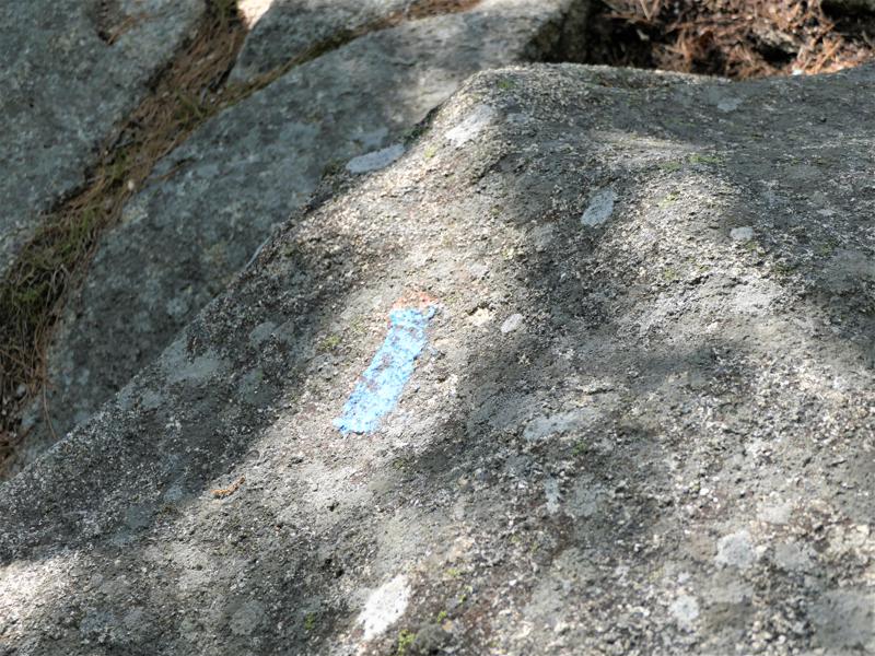
Blue dash shows the way to go. 
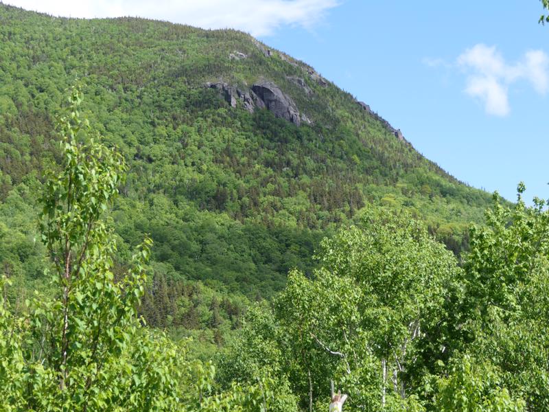
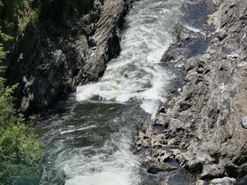
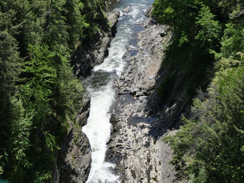
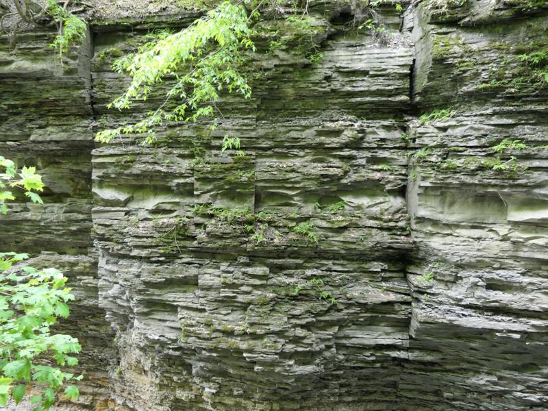
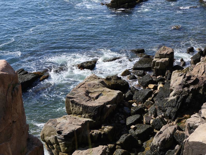
Glaciers from over ten thousnad years ago caused these ridges. 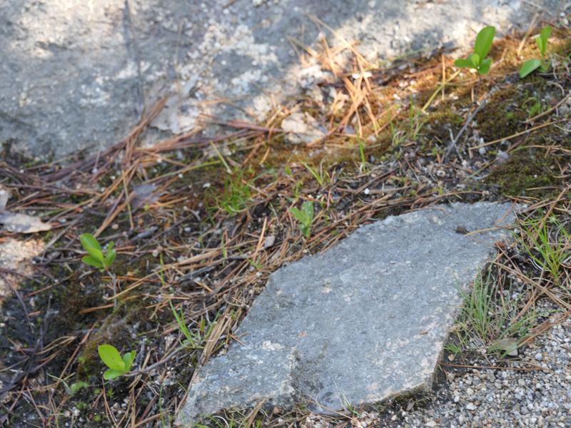
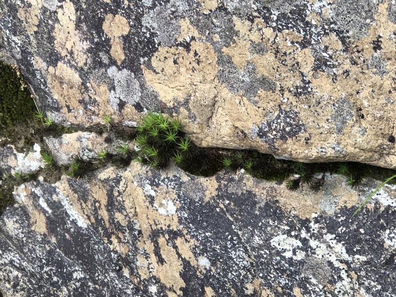
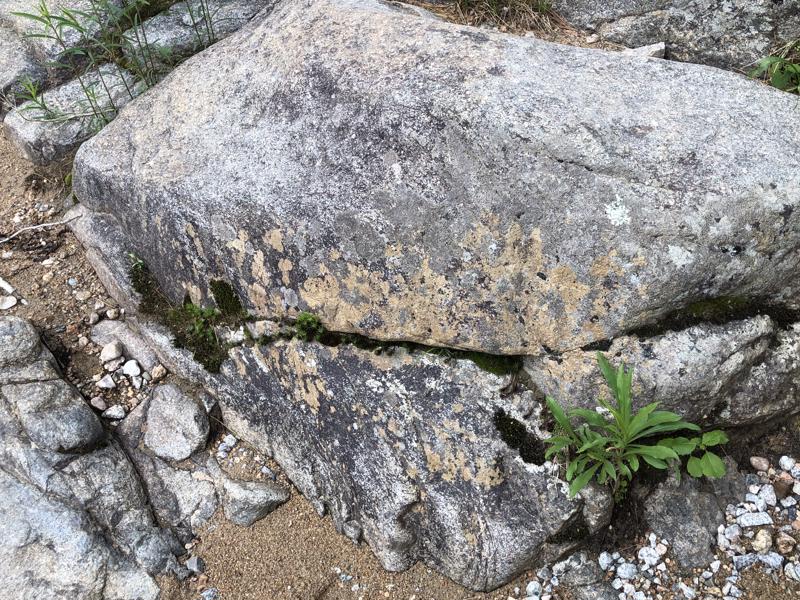
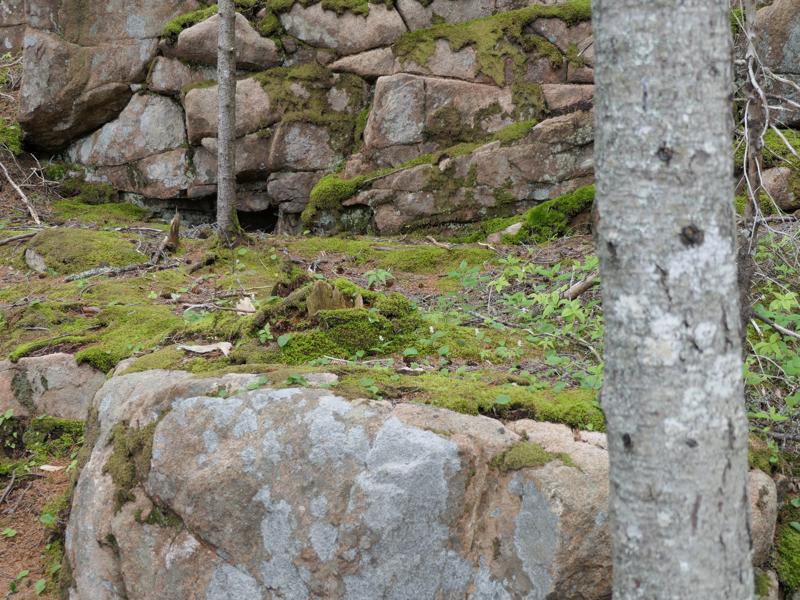
Tree seedlings growing in cracks of rocks. 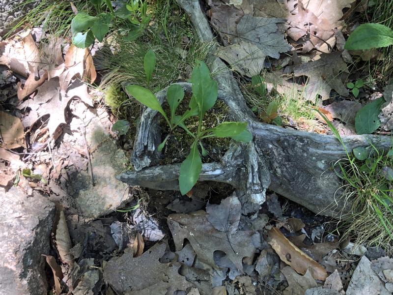
This root made a pot for the plant. Too sweet. 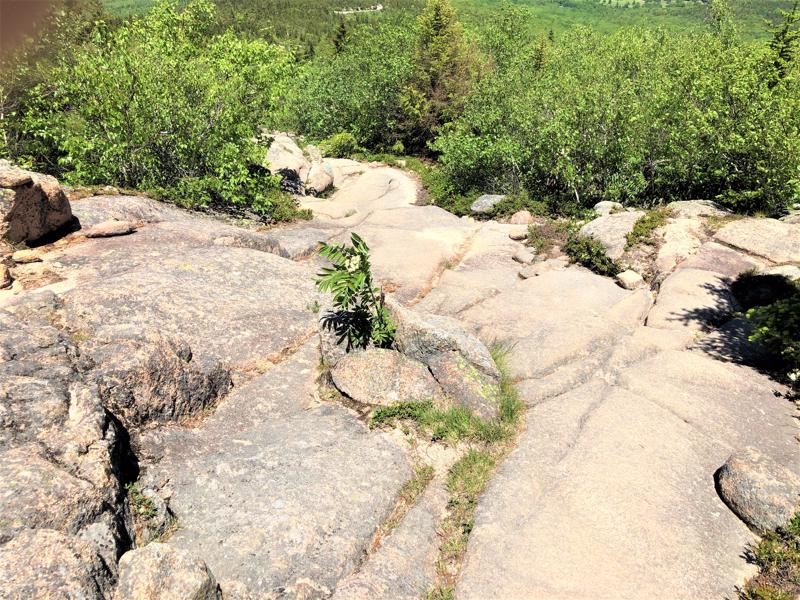
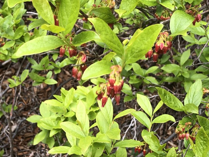
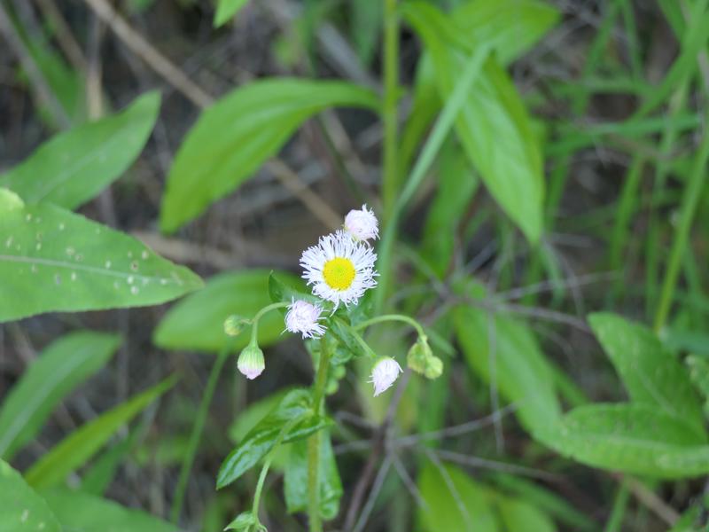
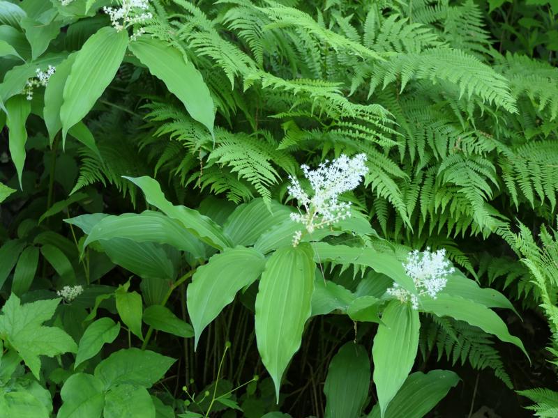
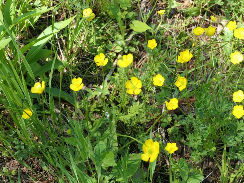
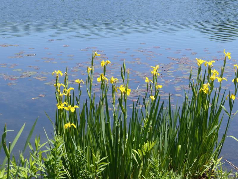
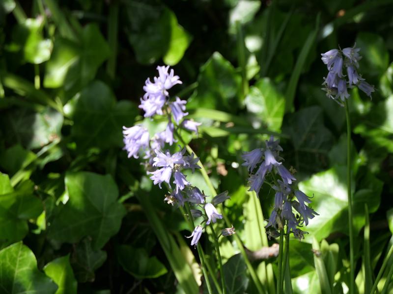
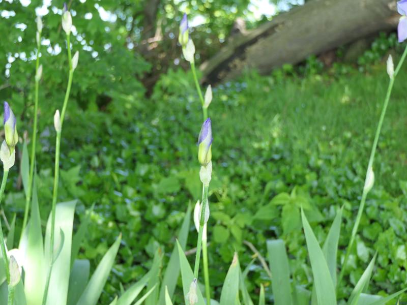
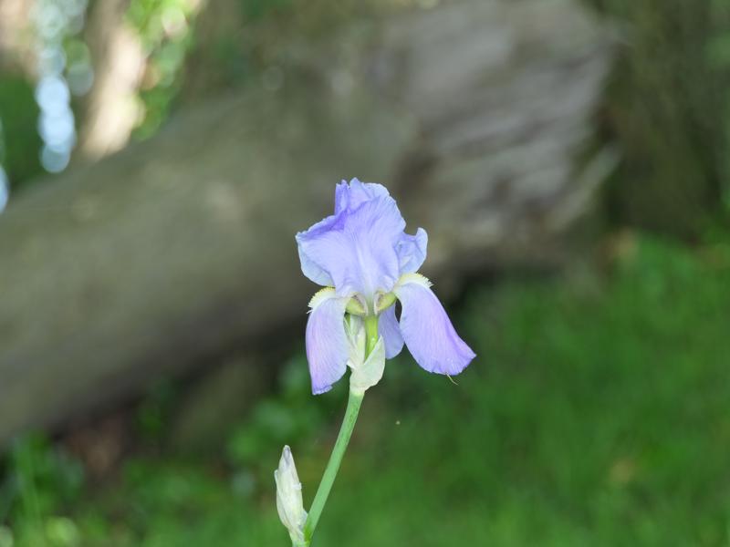
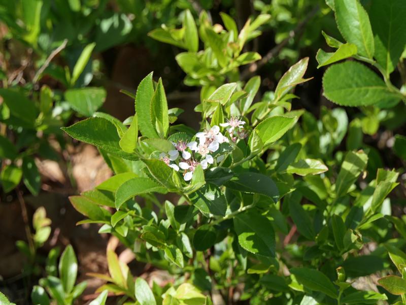
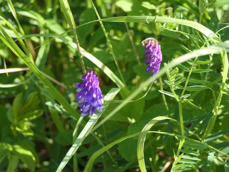
I love wildflowers. 
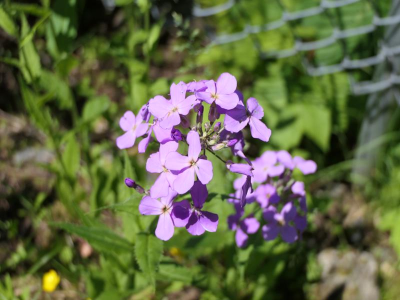
Another beautiful wildflower. 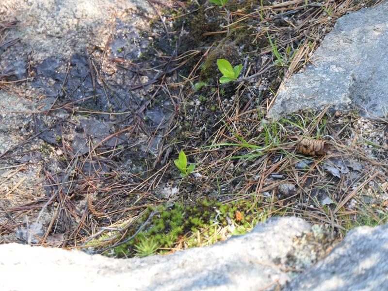

It’s a mountain, we have to go up. 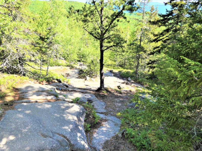
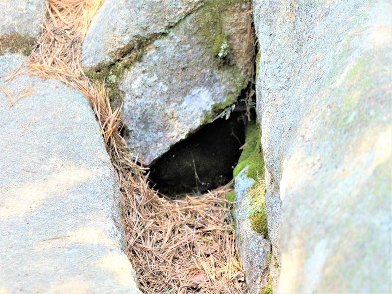
Who lives here? We found several dens along the trail. 
Who lives here? 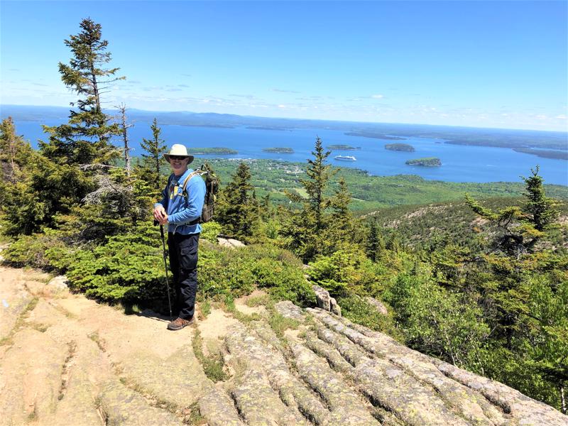
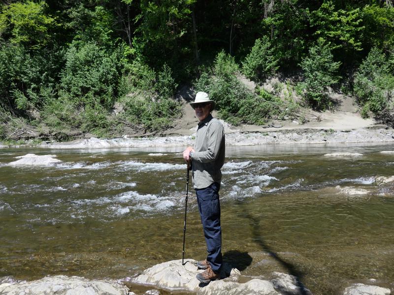
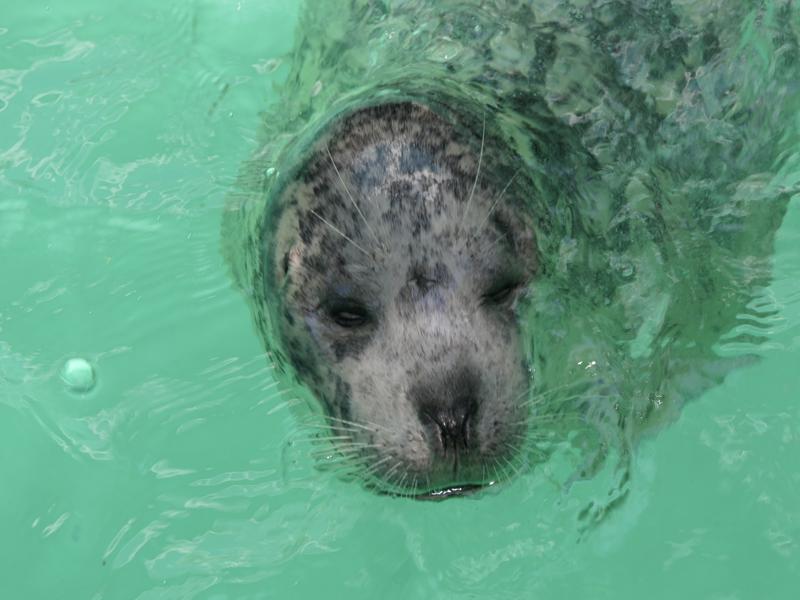
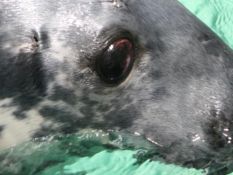
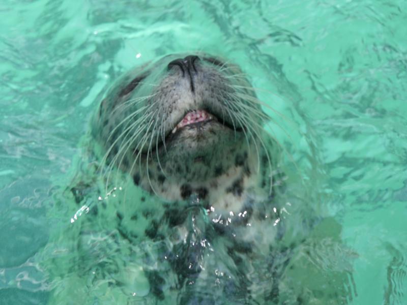
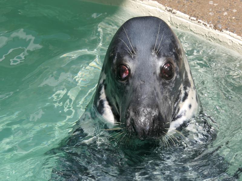
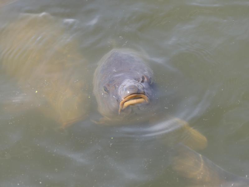
I found this handsome man. Makes my toes curl! 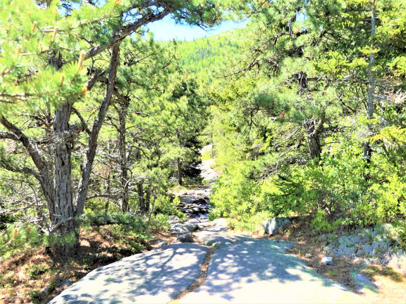

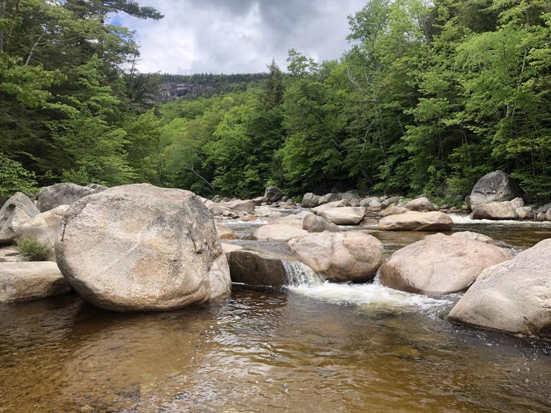
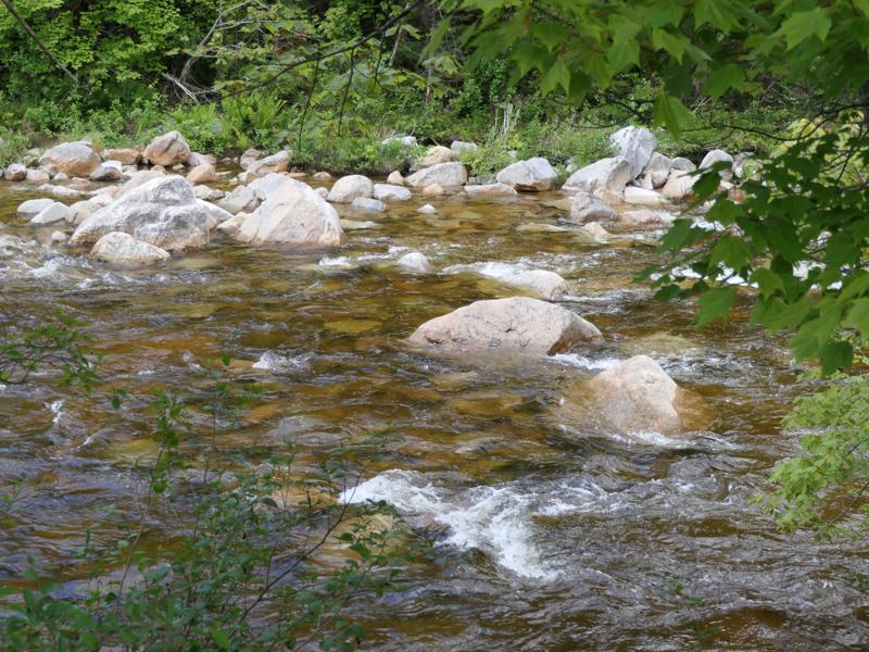
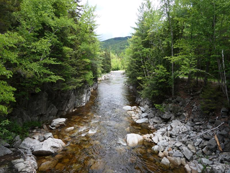
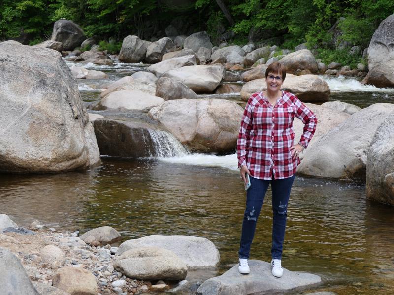
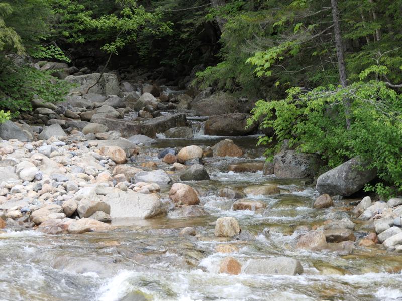
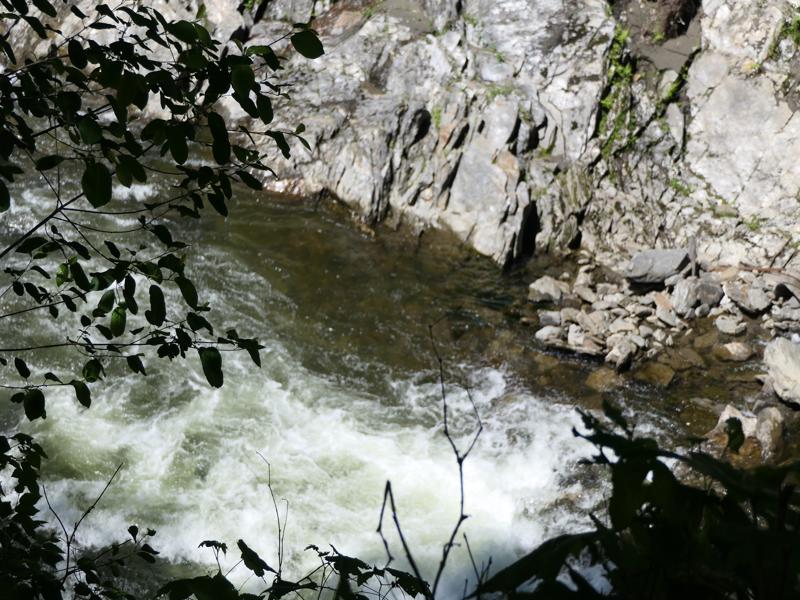
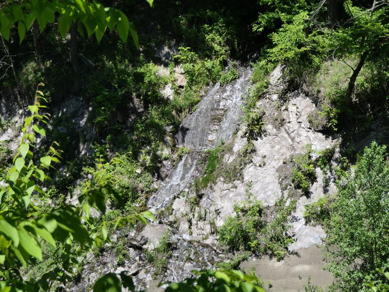
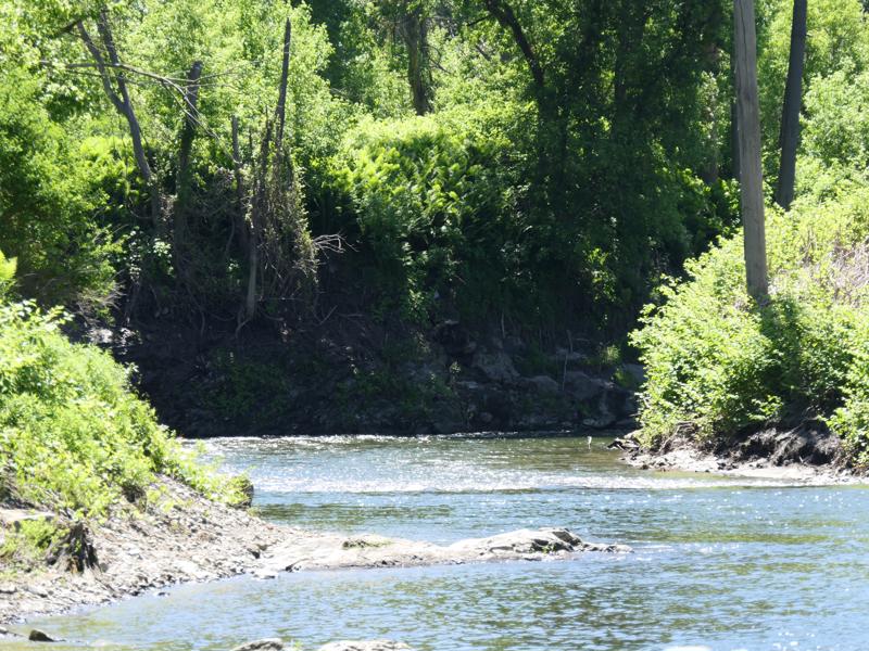
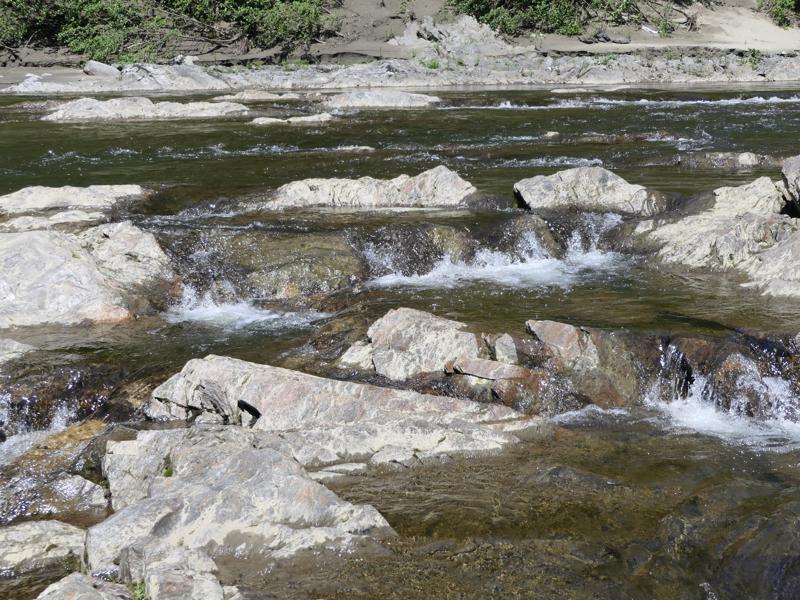
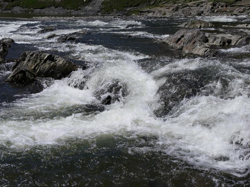
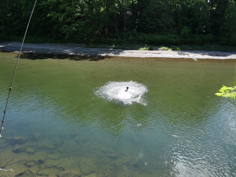
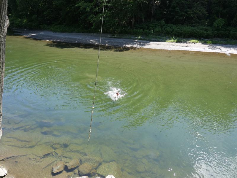
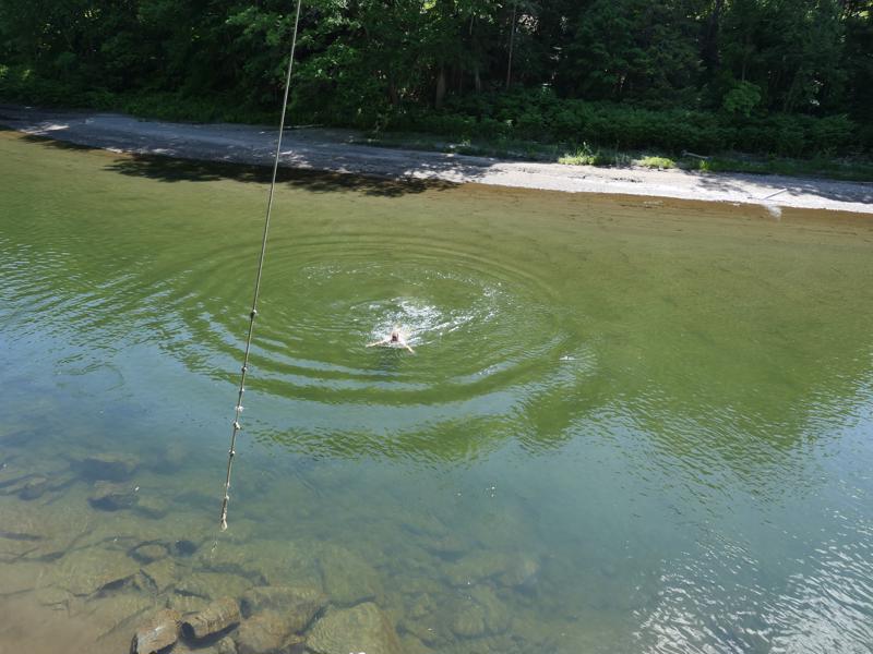
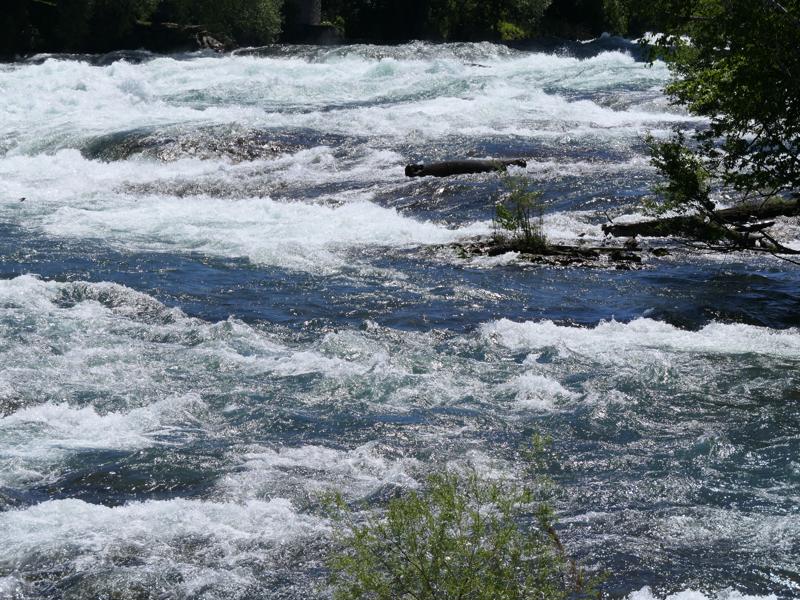
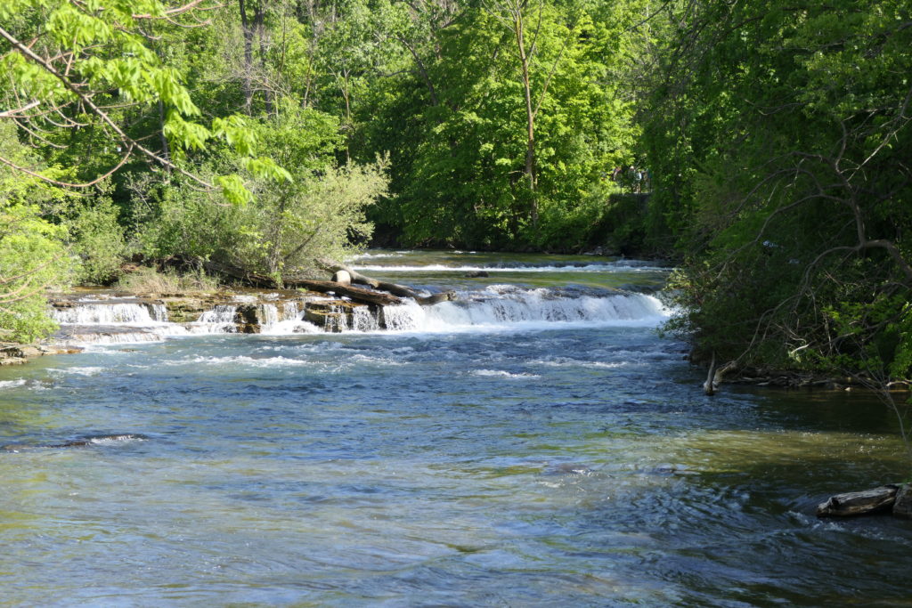
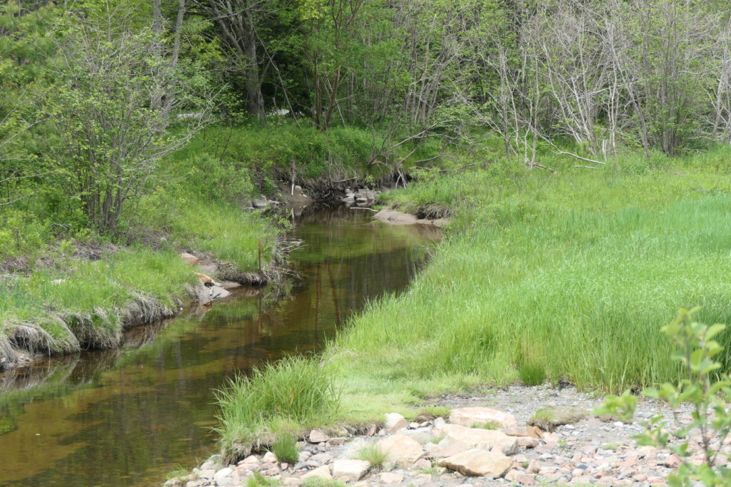
Babbling brook. 
Heart rock! 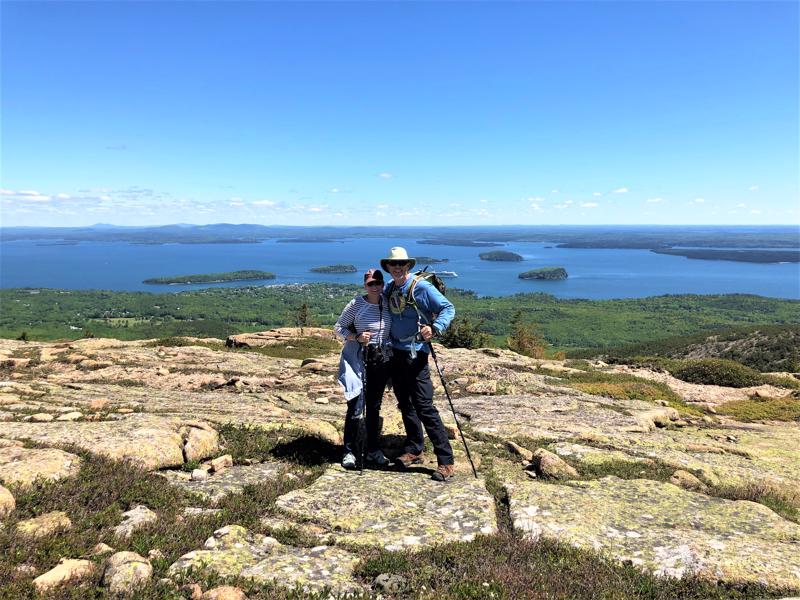
We are getting closer to the top! 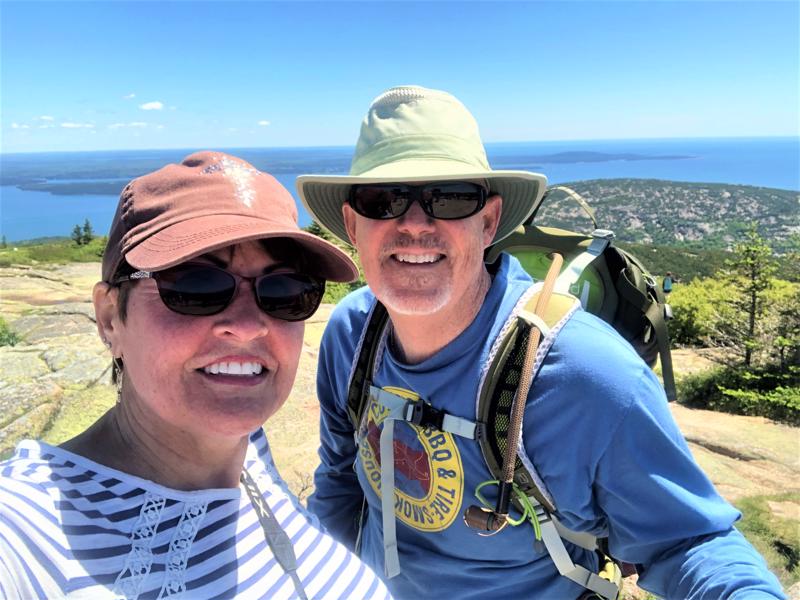


Looking back on how far we came. 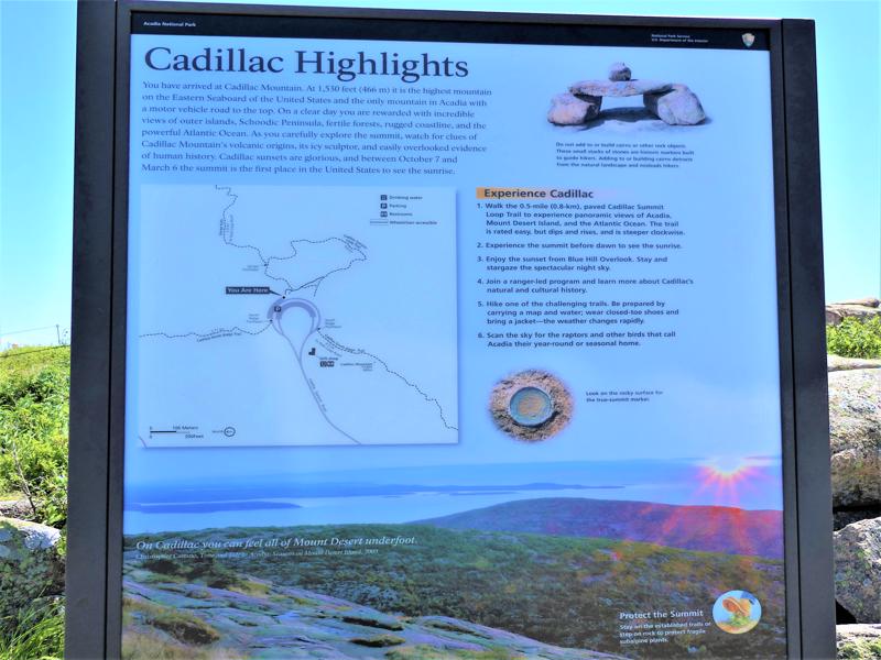

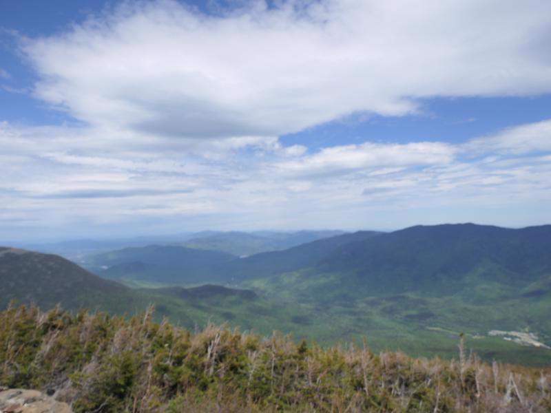
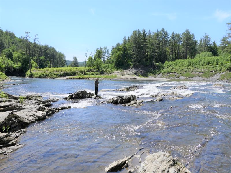
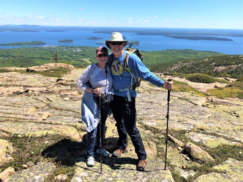
Zoom Zoom enjoying the view from the top of the mountain. 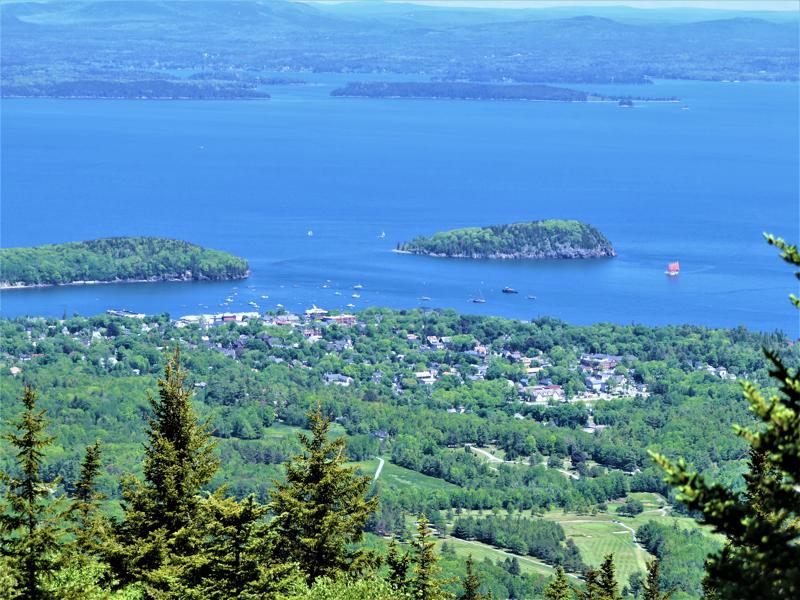
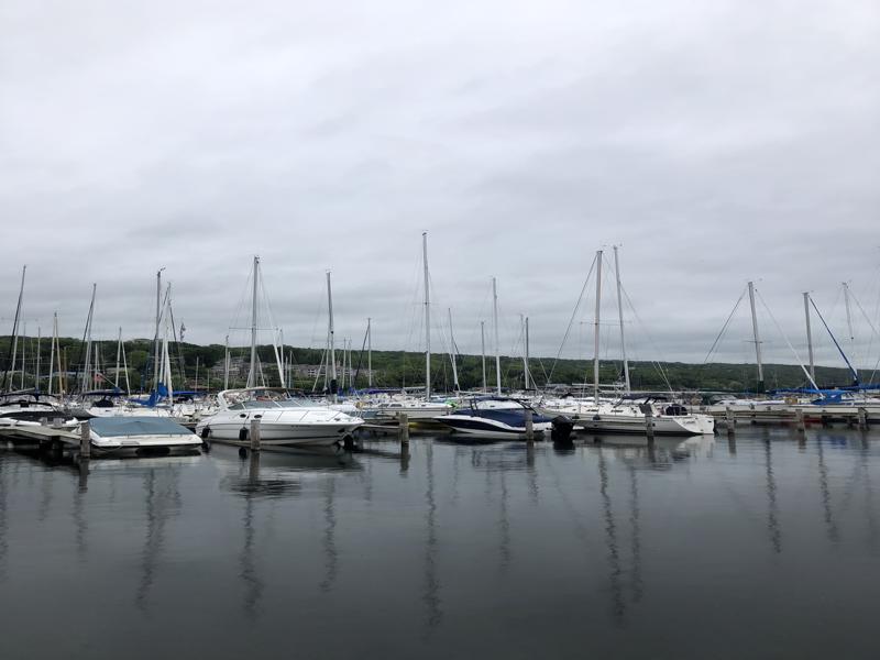
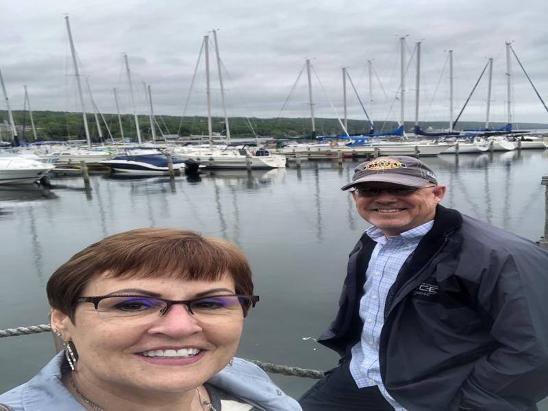
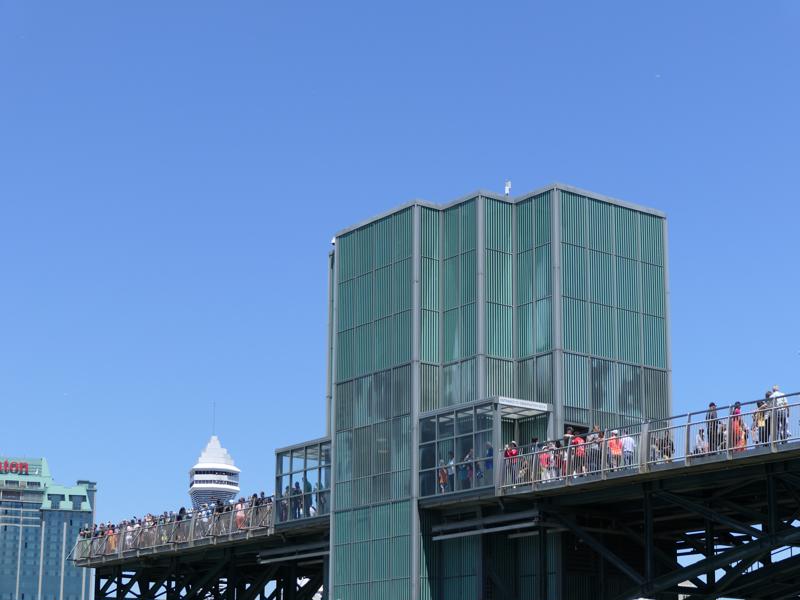
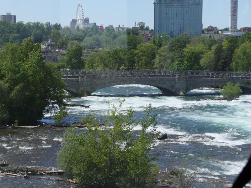
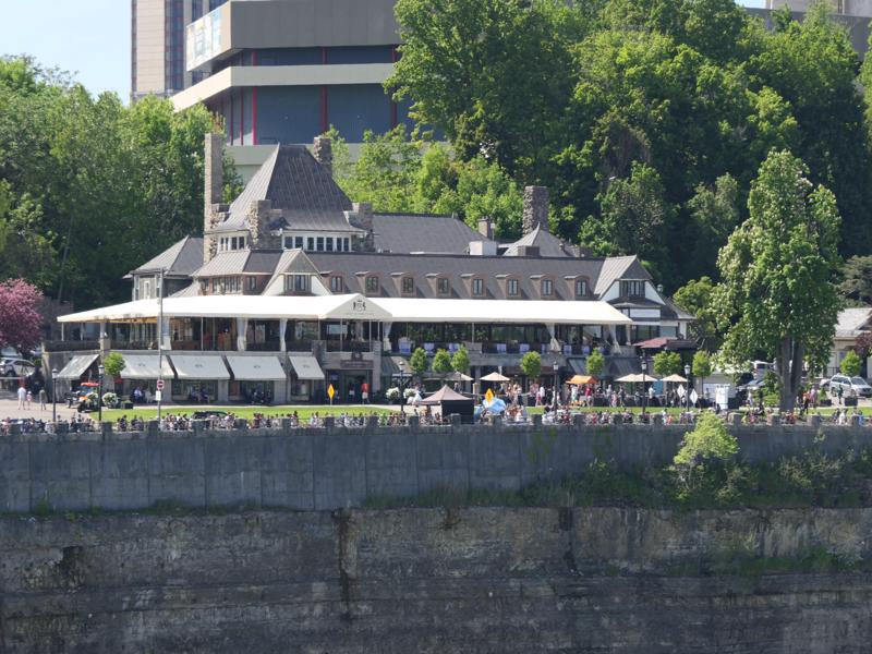
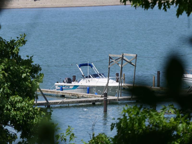
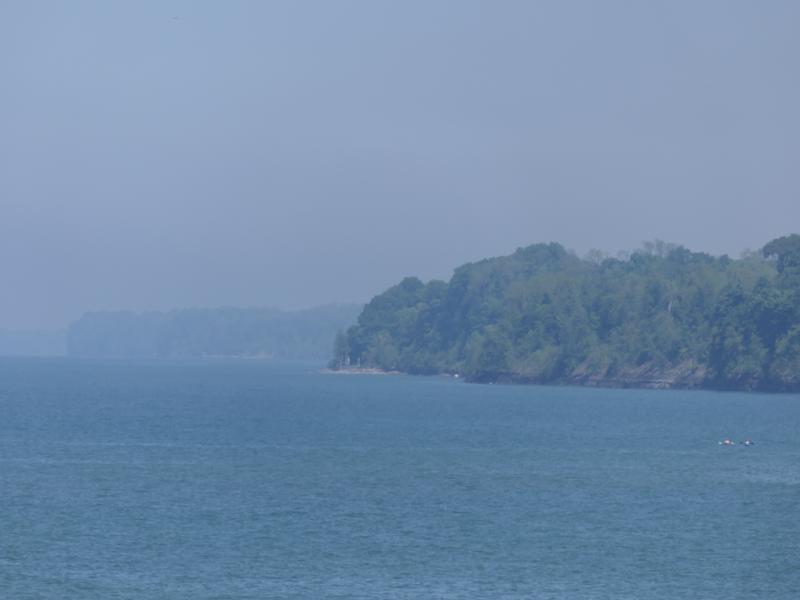
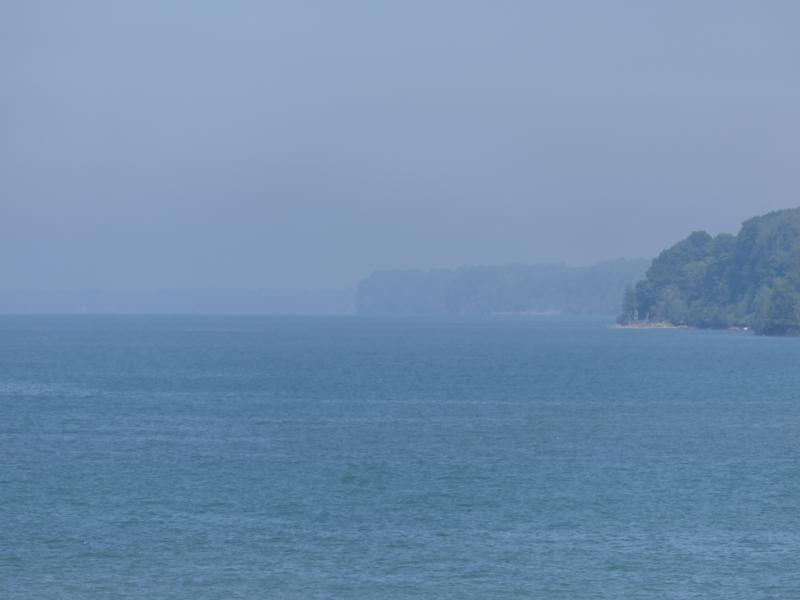
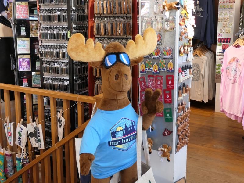
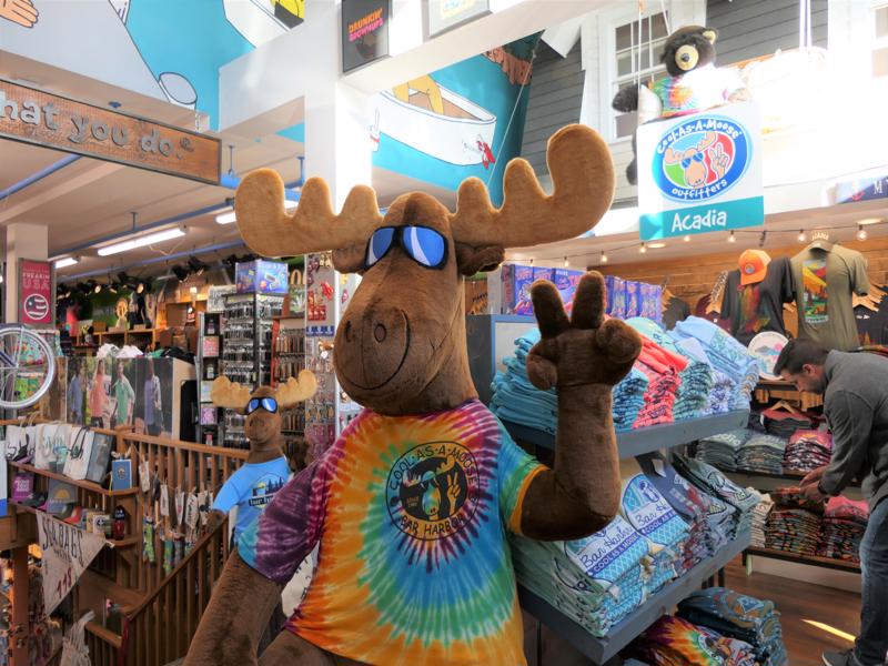
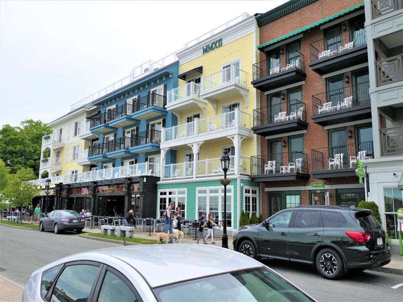
Bar Harbor, Maine 
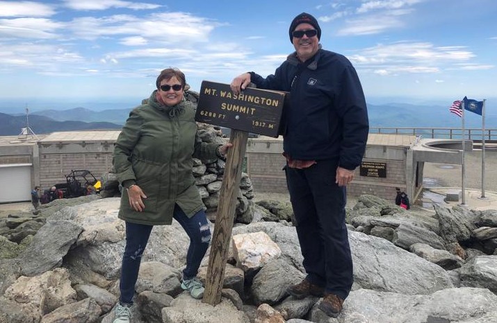
We made it! Celebrate!
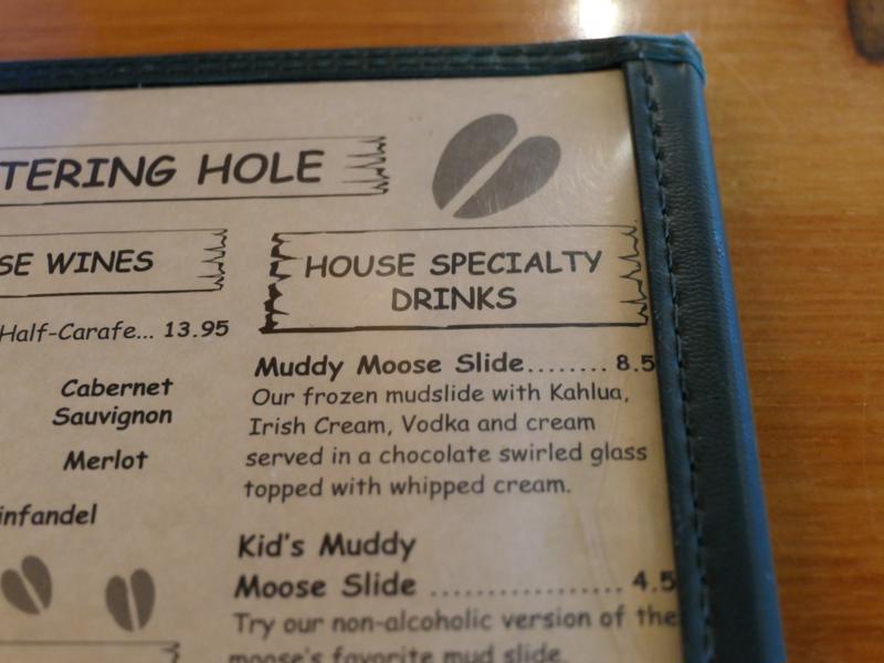
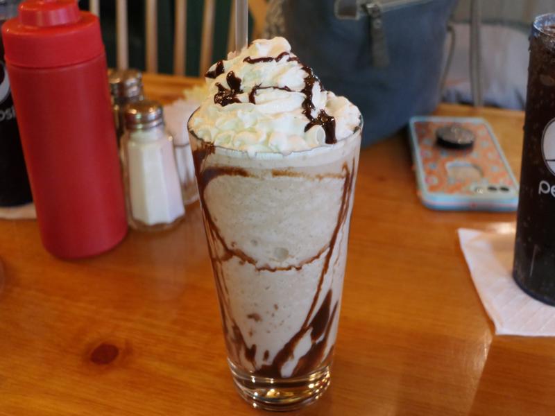
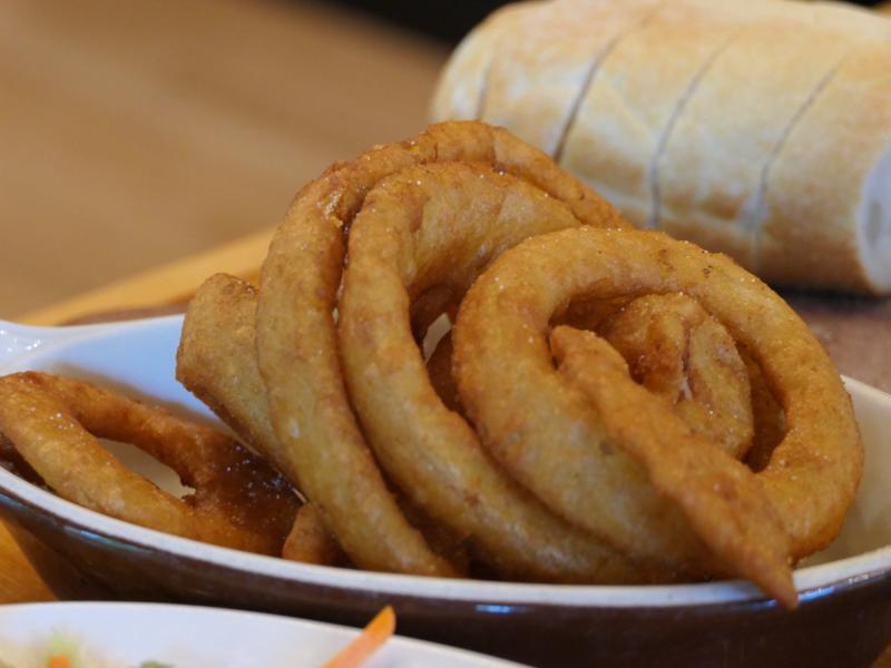
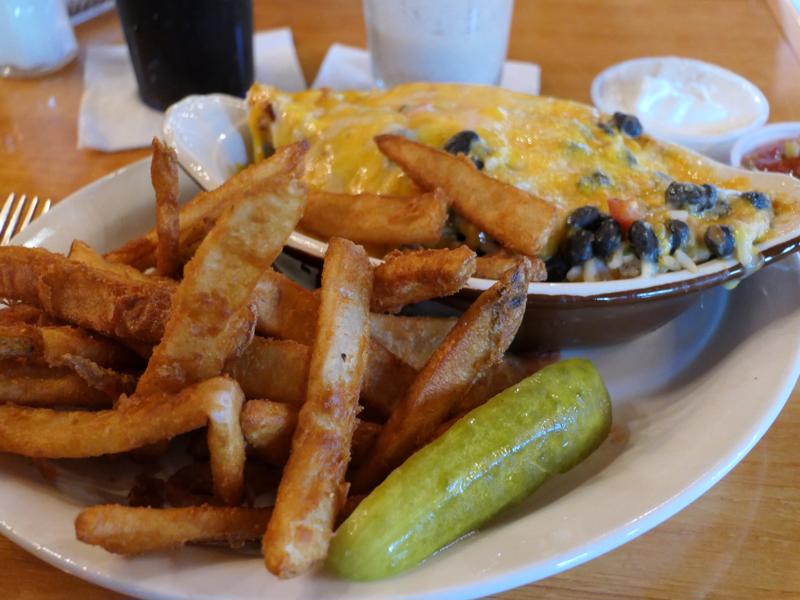
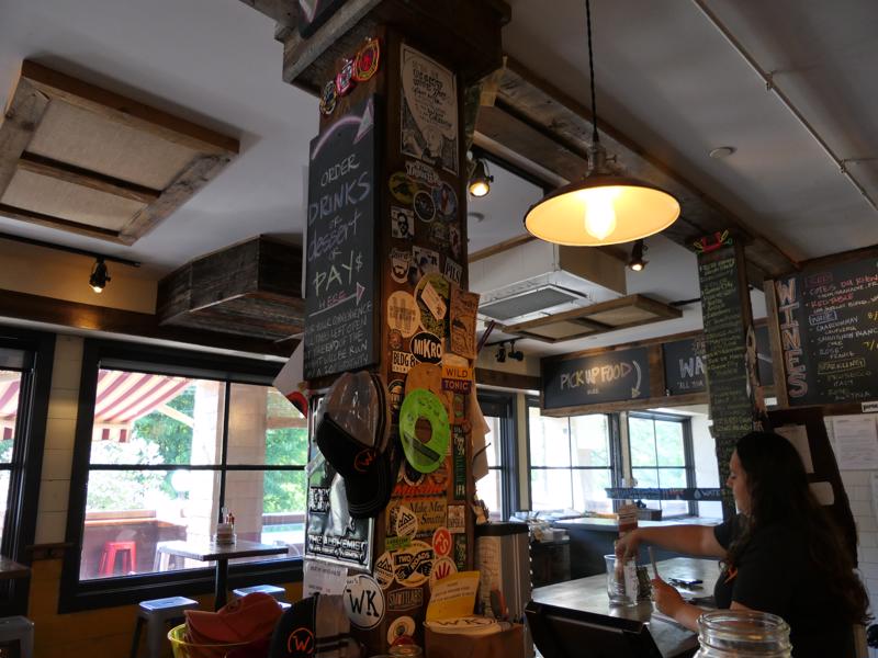
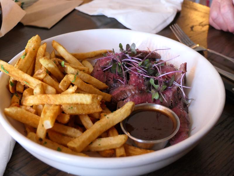
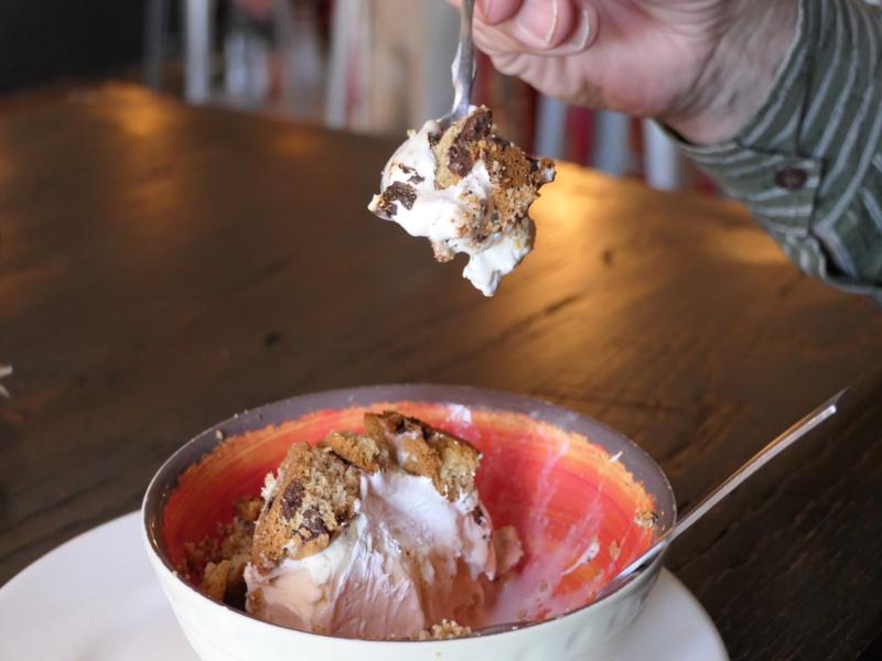
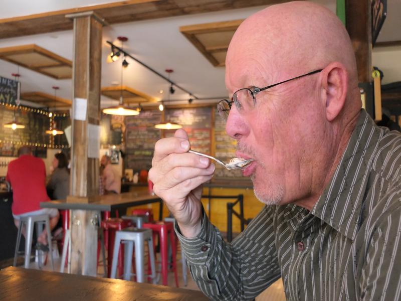
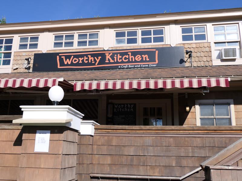
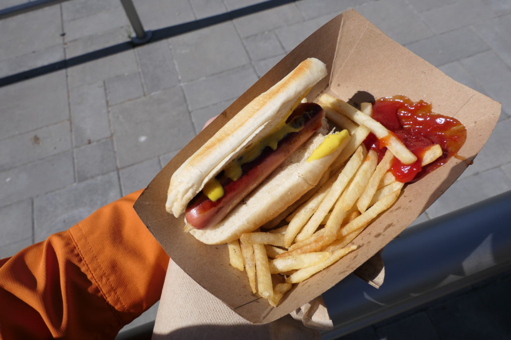
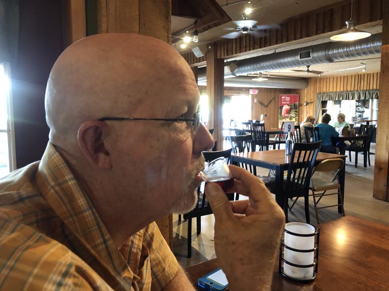
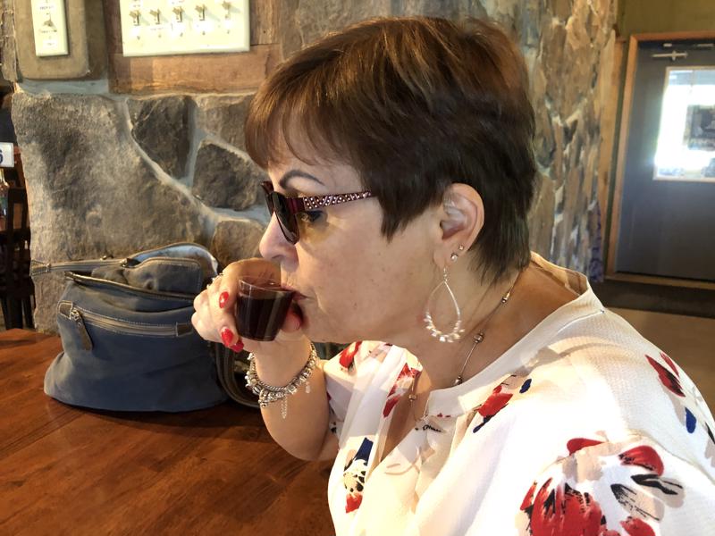
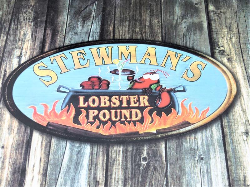
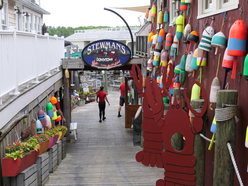
While frequenting the Maine region you MUST partake in at least one lobster roll (unless you are allergic to shellfish). Zoom Zoom had his first one at a local place called the Dog & Pony. The co-owner was our server. She was so kind and attentive. Zoom Zoom had his lobster roll with tater tots. I had a burger, sans bun, and fries. We had a brownie sundae for dessert (shared). If you remember back to when we bought the bread at the farmer’s market – well I ate some – HUGE MISTAKE! I guess that gluten is an enemy for real. Anything that has wheat, or wheat flour I am now avoiding like the plague! Zoom Zoom likes this. He got the entire brownie to himself! Zoom Zoom’s second lobster roll was the very next day at a place called Stewman’s. This place had all the ambiance of a Disney themed indoor/outdoor fishing restaurant. Our waiter, Eddie, became Zoom Zoom’s best friend. I don’t know how Eddie did it. Zoom Zoom would need another drink and it seem as if Eddie blinked and he vanished, and he blinked again, and he returned. I never saw someone so efficient. Before we ordered Eddie rattled off the specials and something appealed to Zoom Zoom so he asked Eddie what he recommended, and Eddie said the lobster roll for sure. Zoom Zom had his with French fries. I ordered a grilled chicken salad with a poppy seed dressing. Mine was amazing – I could have eaten another one! We shared a slice of blueberry pie and ice cream. Yep, I oops and ate a bite with some crust – another MISTAKE! Oh man it hurts so badly. Zoom Zoom finished off the ice cream and pie. He was a happy camper! I think we are going to gain a few pounds before coming back! We NEVER eat dessert at home. It’s something about being on vacation that entices us to step out and go for it. We are definitely going to have to cut back.

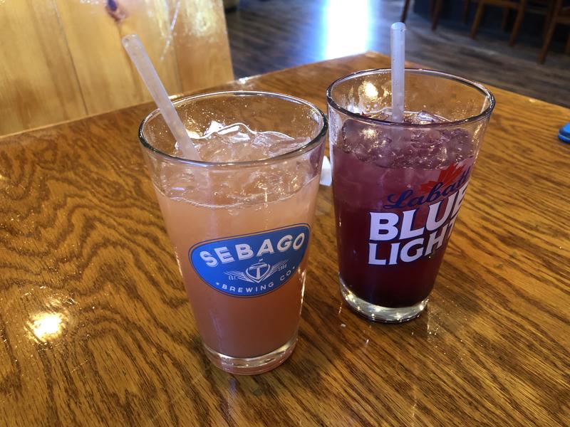
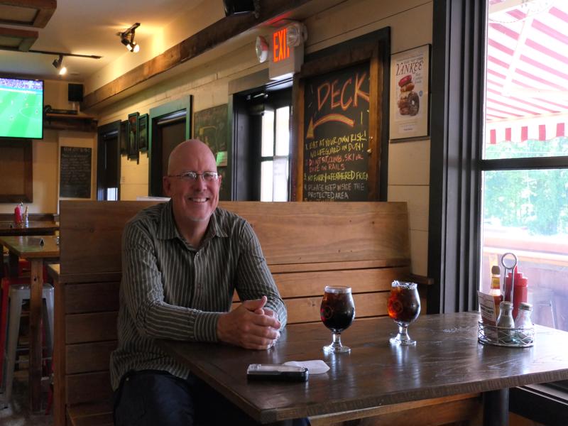
Delicious adult beverages. 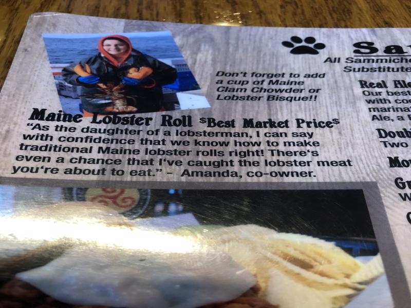


Zoom Zoom’s first lobster roll. 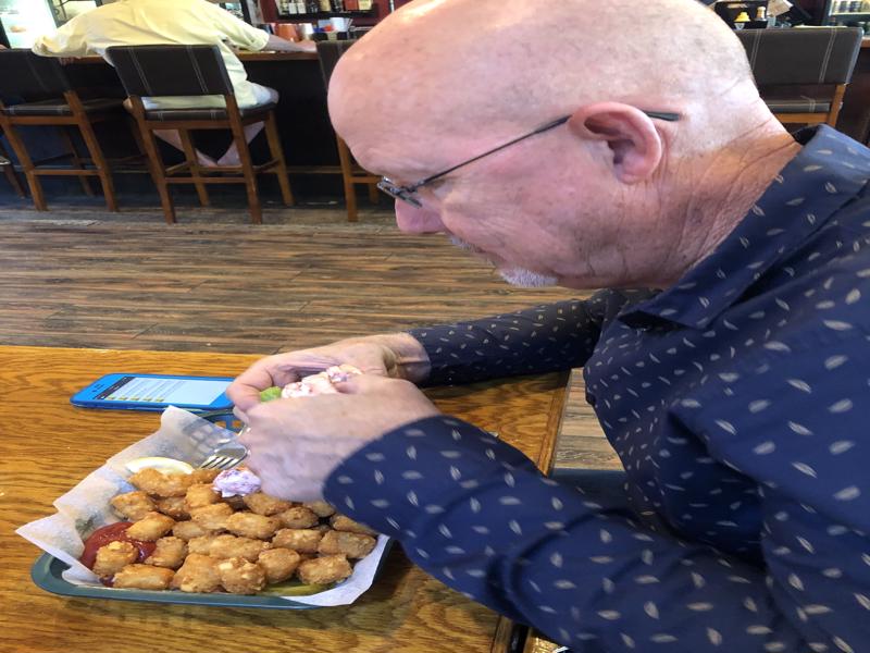


Before 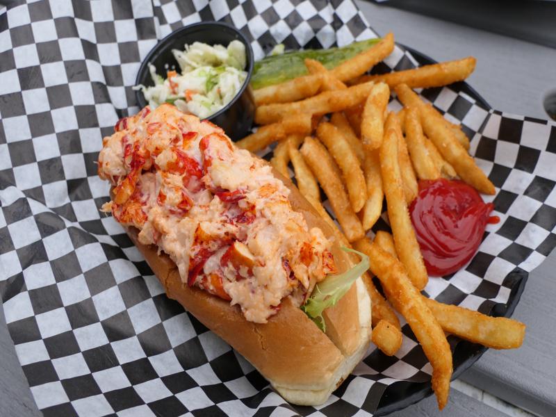
Eddie’s choice for Zoom Zoom 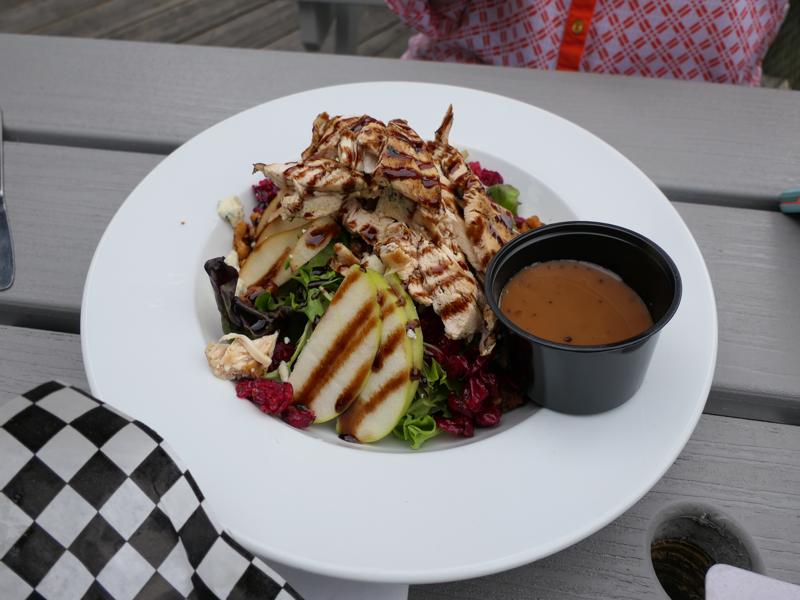

Zoom Zoom is making this face because he dove into the dessert before the photo was taken! Rookie! 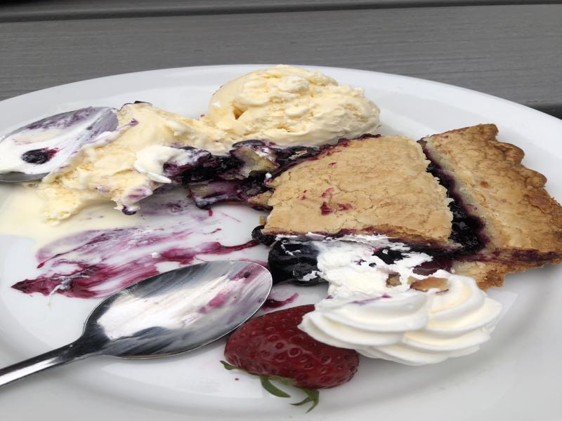
ABT Blueberry pie. ABT= already been tasted
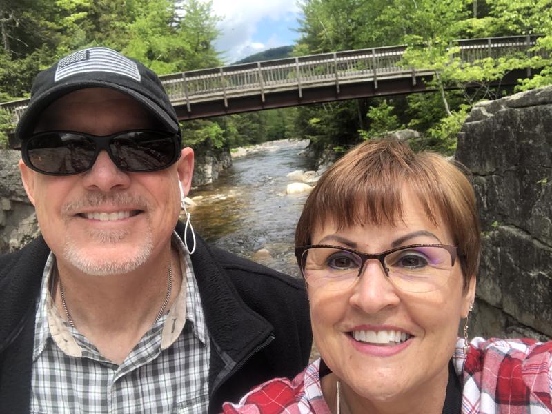
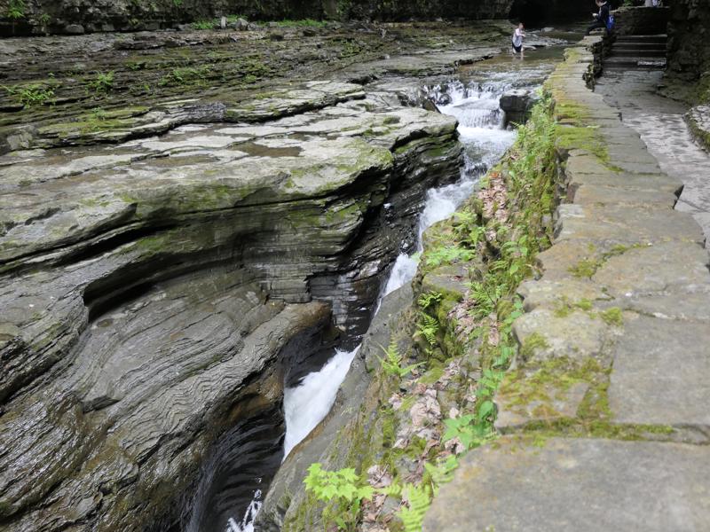
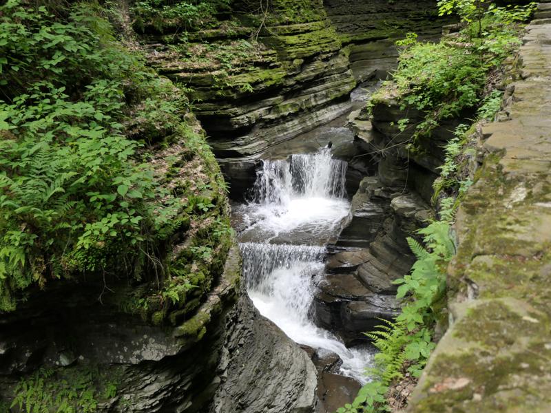
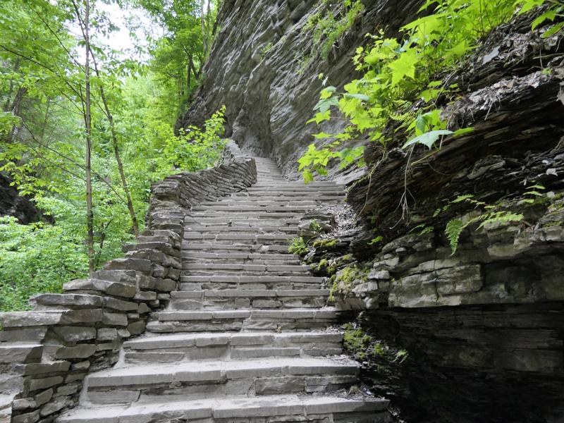
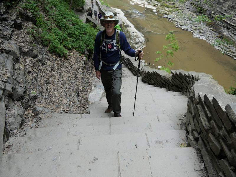
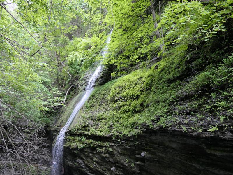
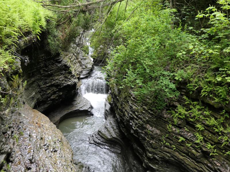
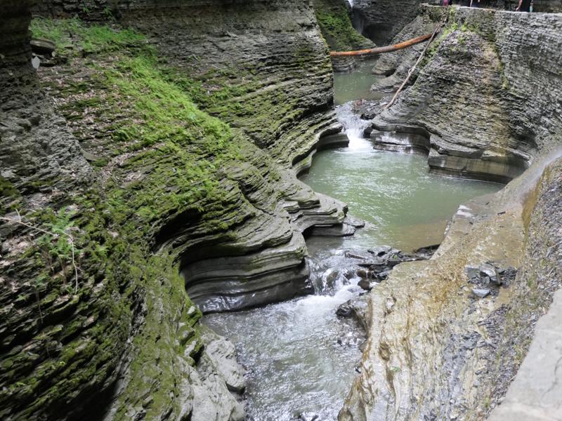
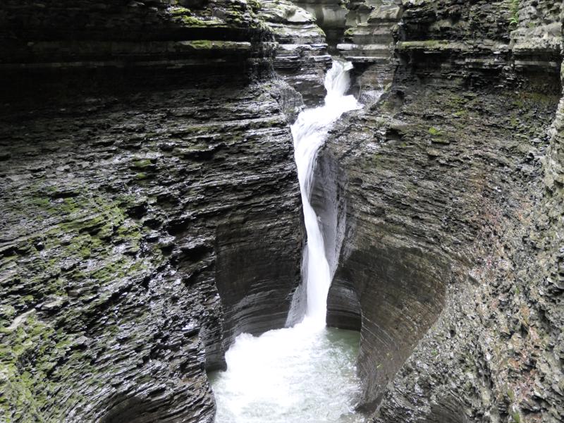
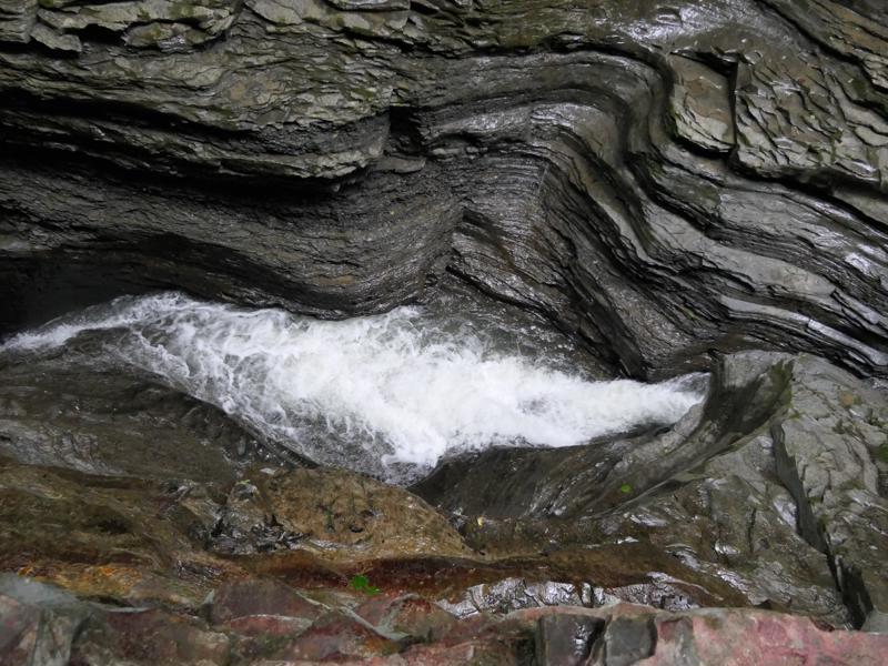
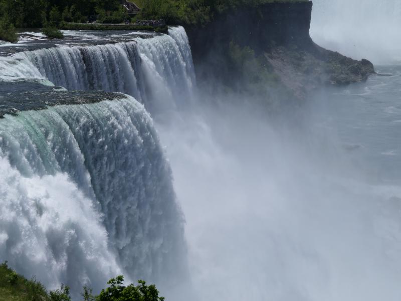
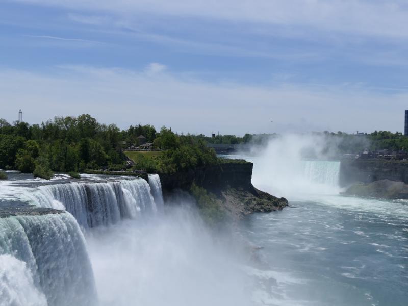
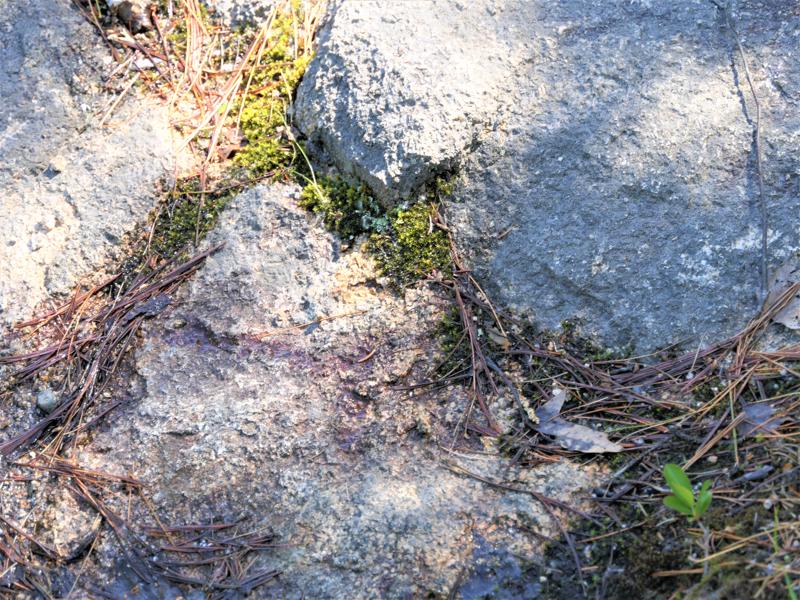
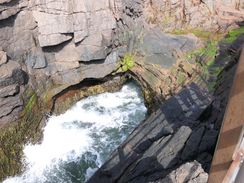
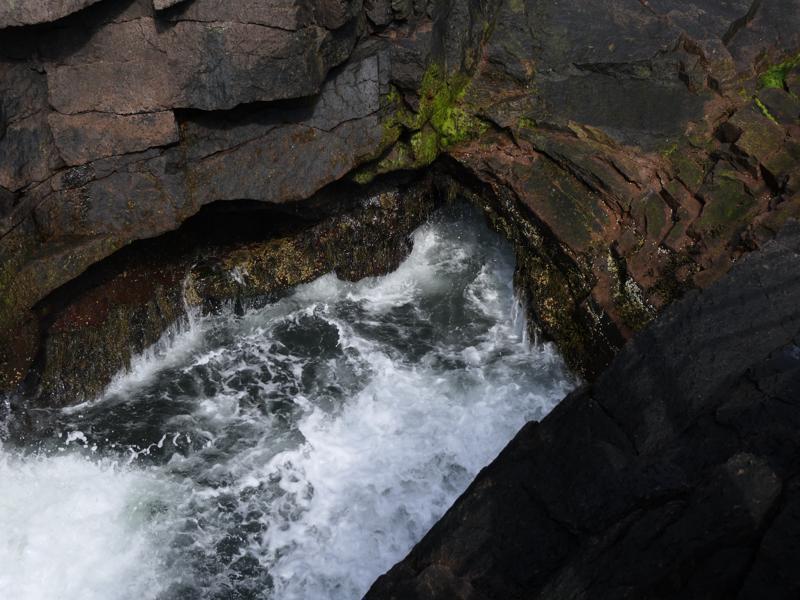
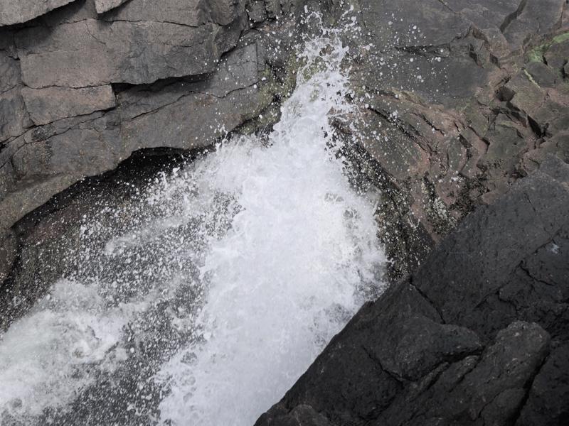
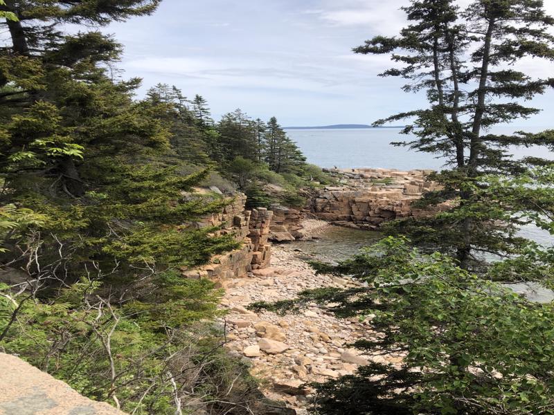
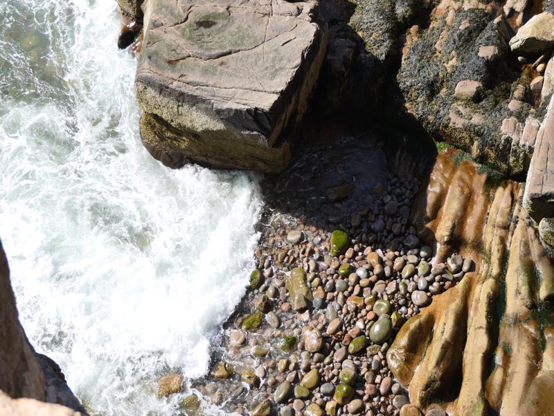
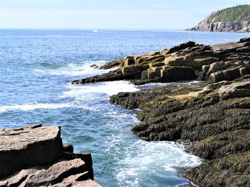
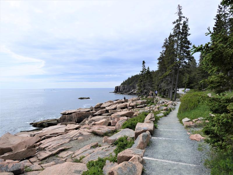
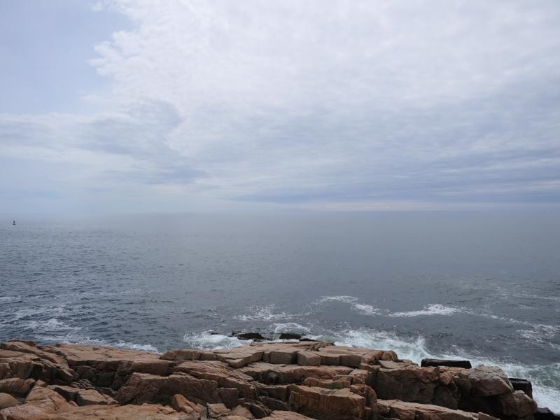
The day after we tortured ourselves on the mountain, we chose an easier route. We took the Ocean Path – rated “easy”. It was a 3.6-mile hike. It was supposed to be level. Now I don’t know who wrote their books, but their definition of “level” and ours are not the same. We had to climb up and down some rocks and boulders and there were plenty of steps along the way. My thighs were screaming at me,” Oh Lordy, not again! It hasn’t been a year! Why? Oh why, are you exercising so soon?” I just told them to shut up and move. And you know what they did? Tripped me! Yep. In front of a ton of people too. So embarrassing. Now I’m bruised on my elbow and my knee! I look like I’ve been practicing for Ninja Warrior. The “easy” 3.6-mile hike was another fabrication by the writers of the Acadia National Park services booklet. I bet the writers never hiked the trails – they just looked at them and took a stab at what they should be rated. 😊 Nevertheless, the scenery is amazing, picture postcard worthy. I didn’t take as many photos as I thought I would only because the postcards look just like our photos. We stumbled upon a park ranger talk and learned why trees grow from rocks. They are nurtured in what are called “nursery rocks” which have a combination of two kinds of mosses. Those mosses provide the perfect type of “soil” for the seeds of the trees to start to grow. The seeds get caught in the cracks of the rocks and germinate there. After several years they become trees. I always wondered why they did this- know I know! She also told us why there are harbor bells out in the harbor- they mark where there are rocks in the water, so ships don’t hit them when the tide is in. She talked a lot about conservation and for some reason the waters off the coast of Maine are warming faster than any other body of water in the world. No one knows why. This is problematic for the lobster fishermen because lobster only like colder waters. The lobster fishermen will lose their way of life and if all the waters warm up, we will have more and more endangered or extinct sea life. Along the path we also passed a natural phenomenon where the water splashes into a cave making a very loud sound resembling thunder. This place is called Thunder Hole. We accidentally stumbled along the hole at the right time at the beginning of our hike, about 2 hours before high tide. We got some great photos. Two hours later the tide was to high and it couldn’t slap into the hole.

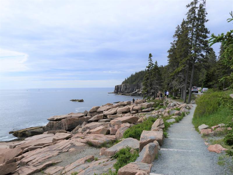
Part of the path along the ocean. 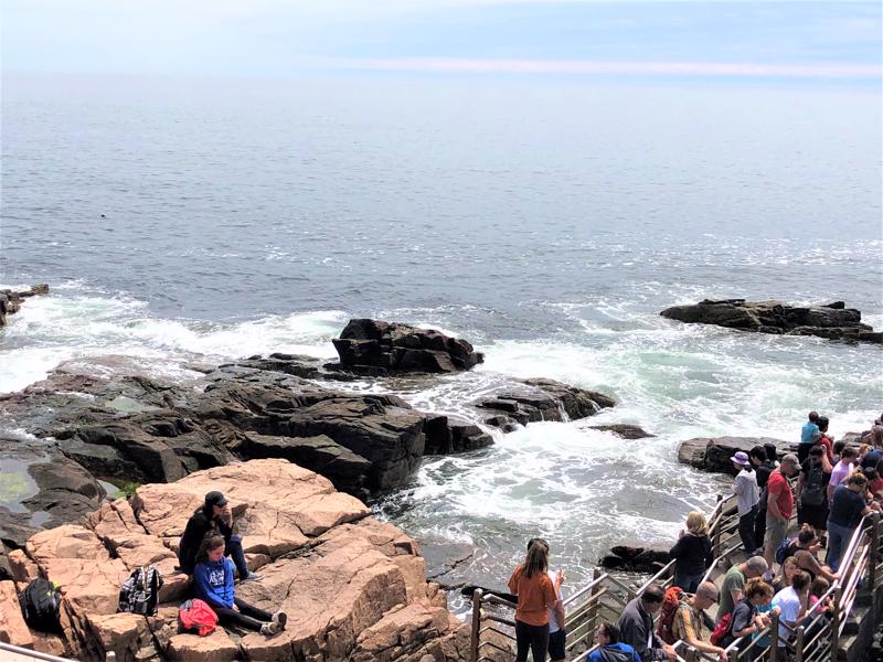
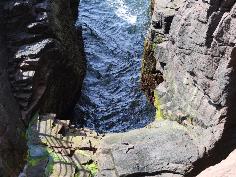

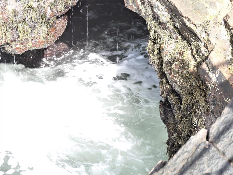
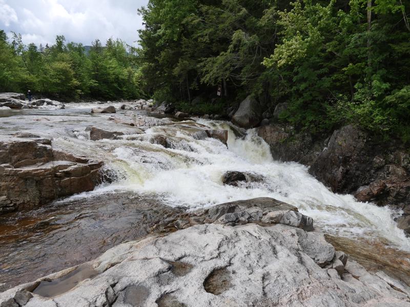
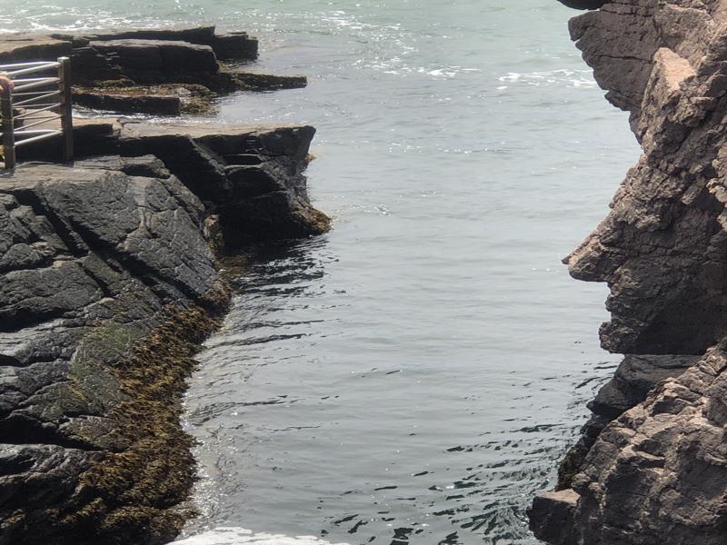
Thunder Hole 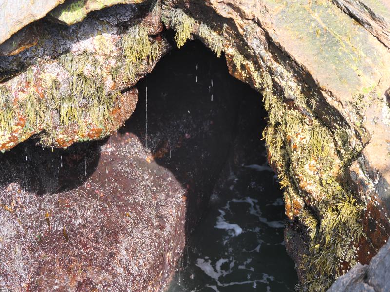
Thunder Hole 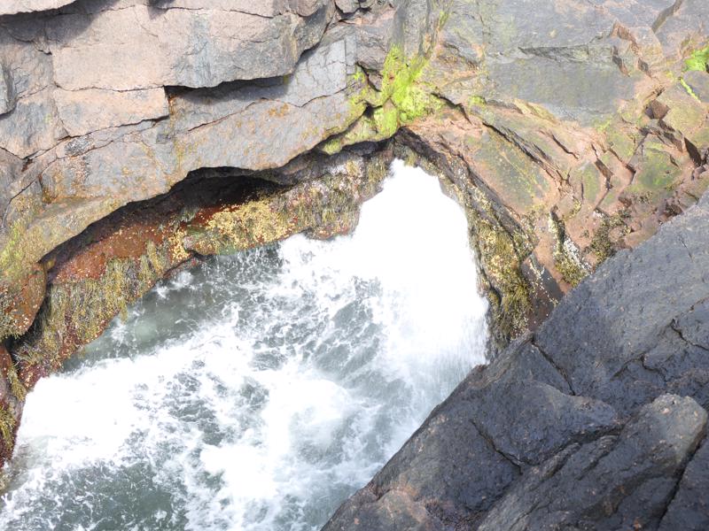


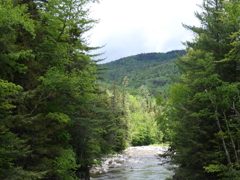
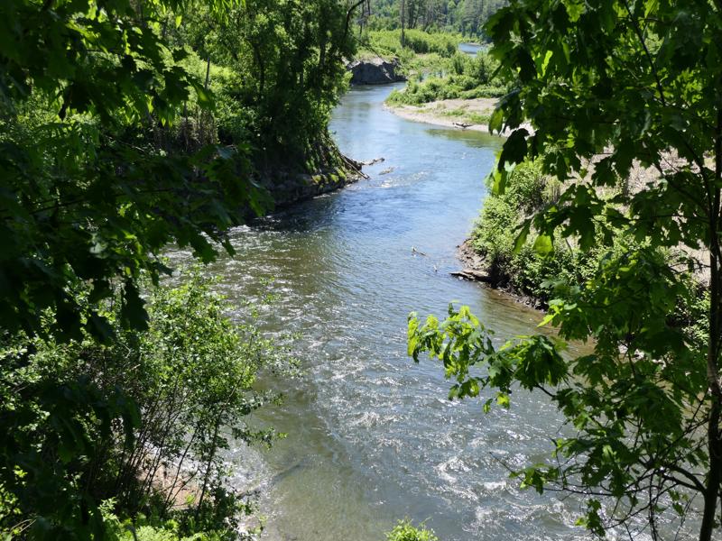
Beautiful scenery. 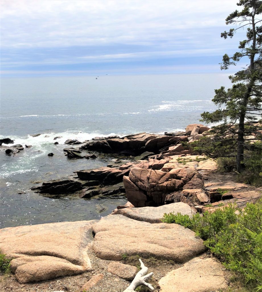

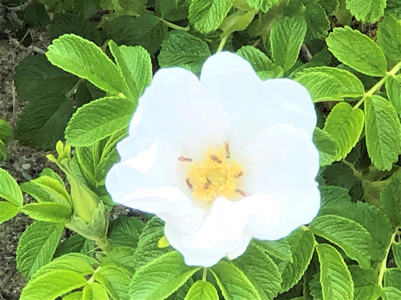
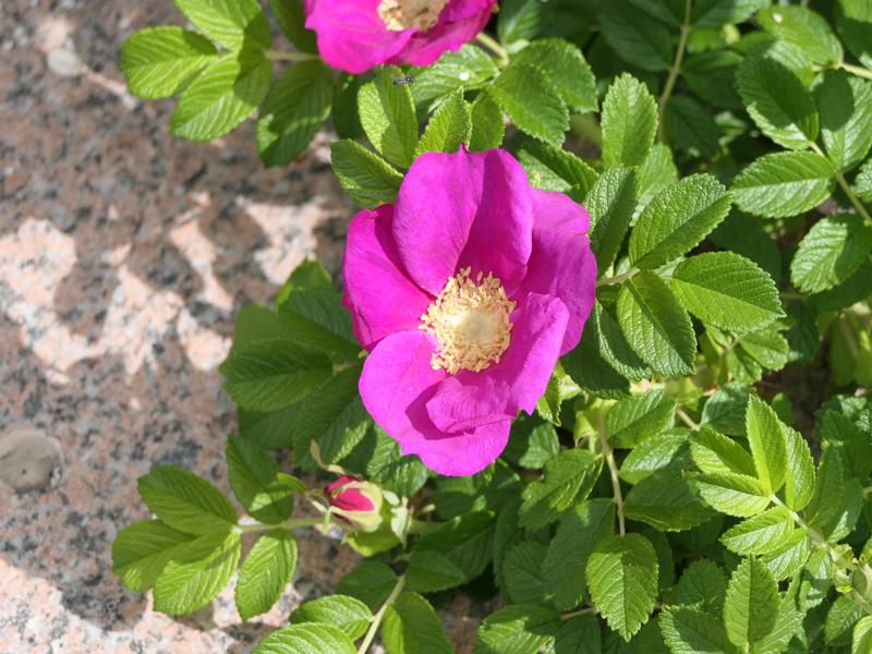
Sea rose. 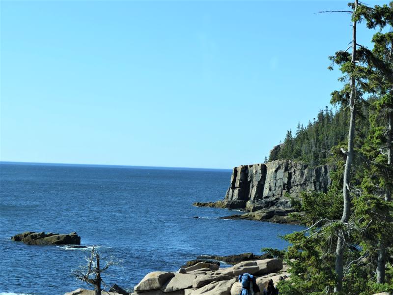


Nursery rock. 
Trees growing from rocks. 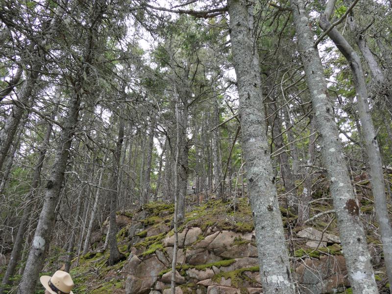


Amazing – tree growing from a rock! 
Park ranger talk. 
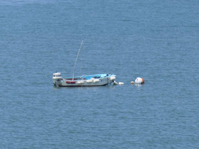
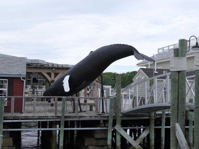
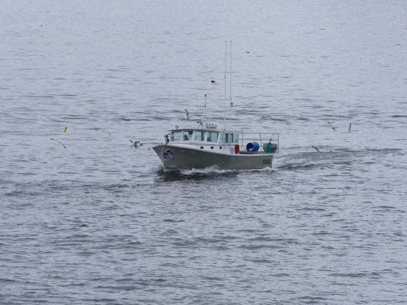
Buoy and to the right of the boat is the “whale.” 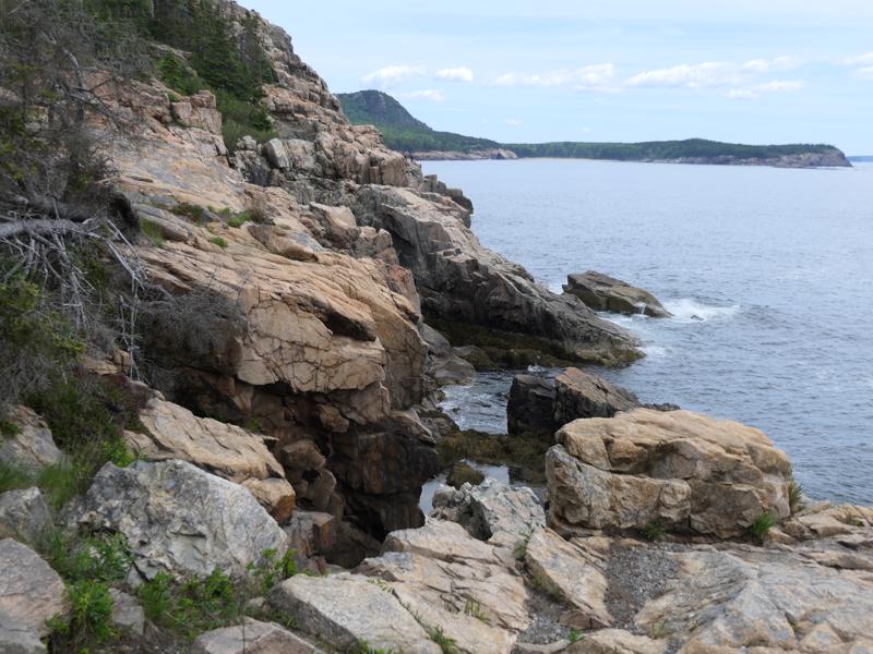


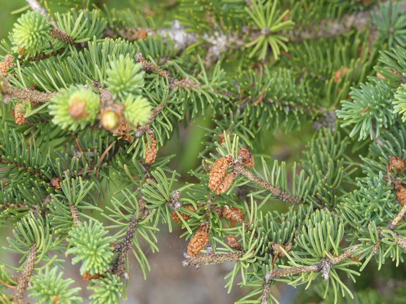

Cute little pinecones. 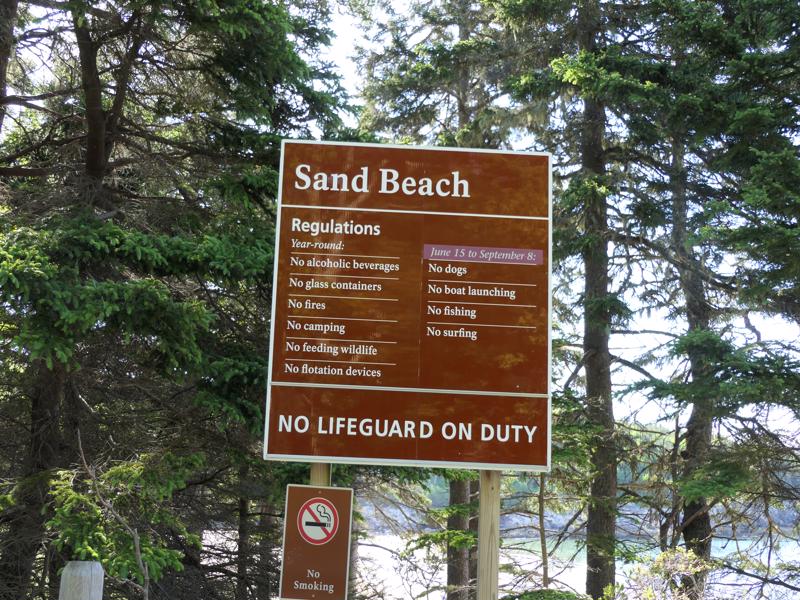


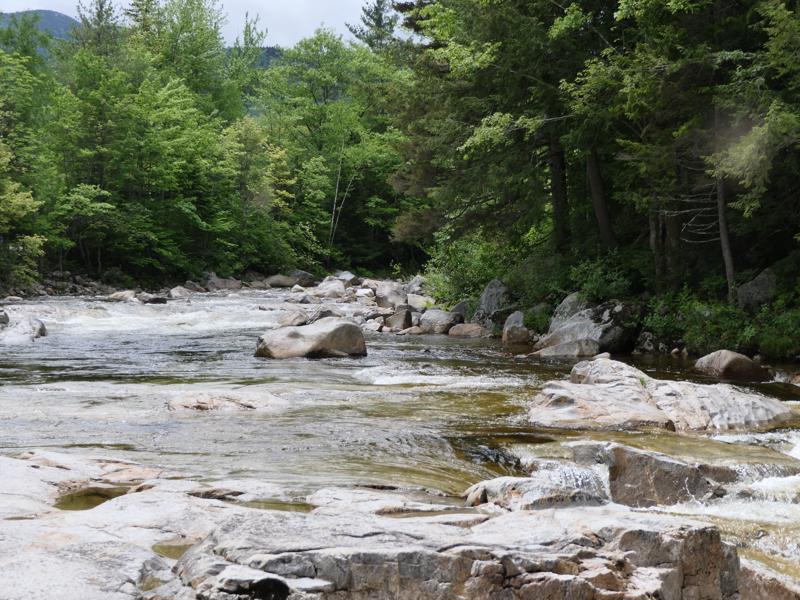
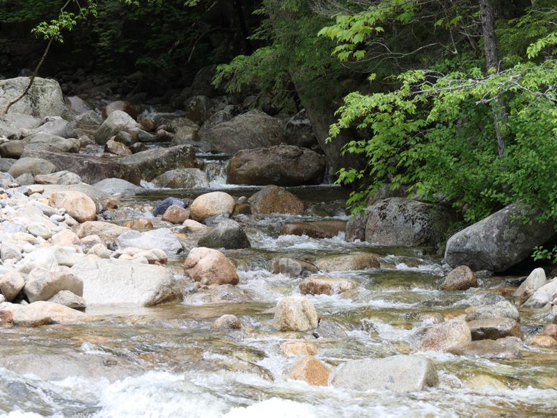
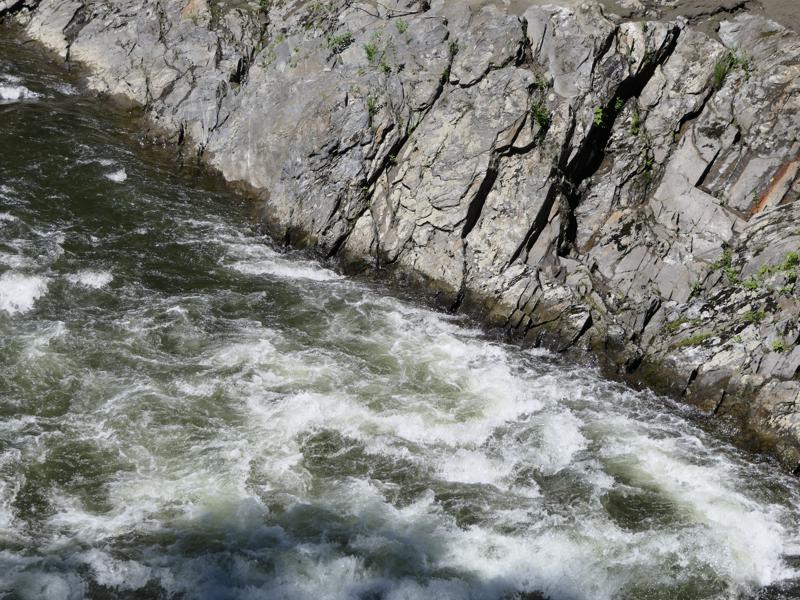
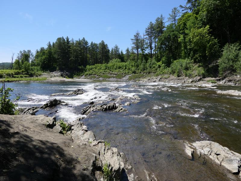
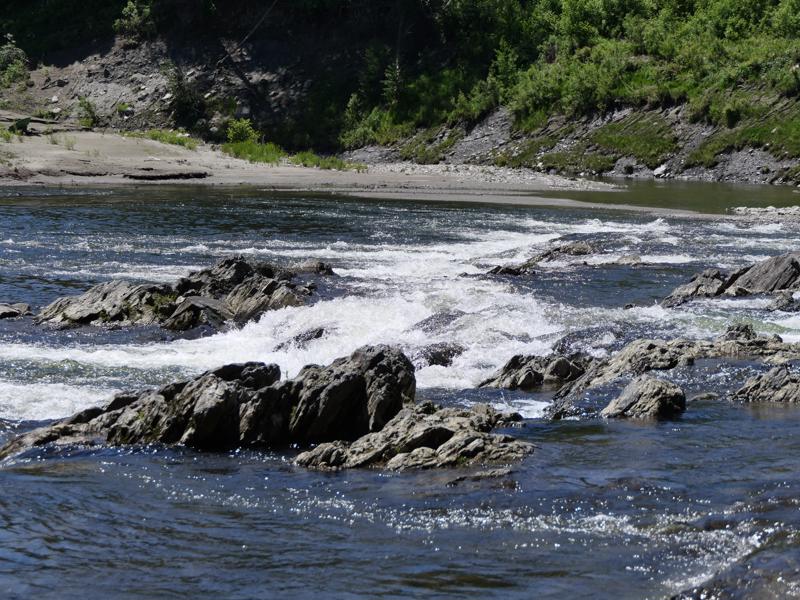
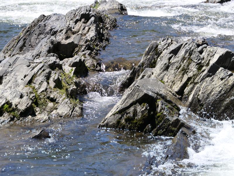
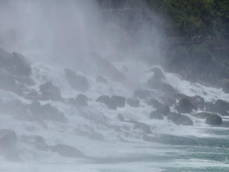
Ice cold water! 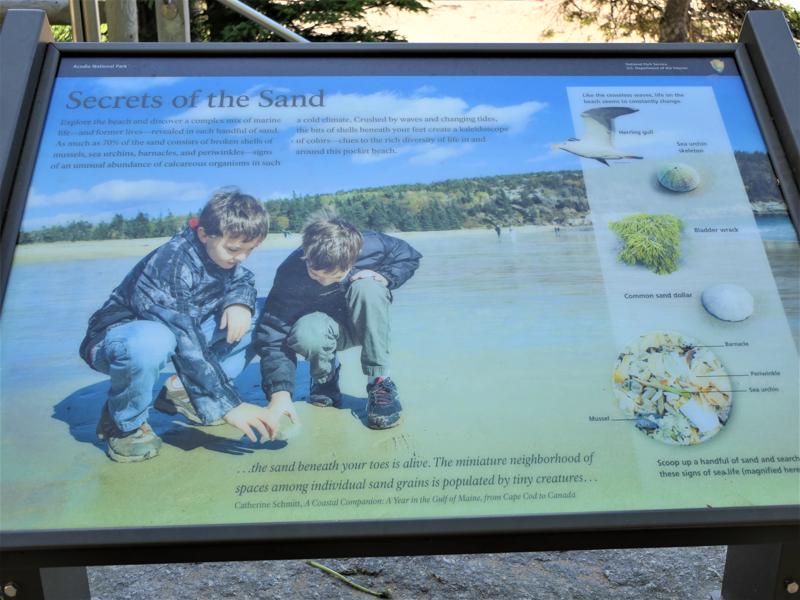


Now for a funny story…on our way back to Jethro we stopped at the Thunder Hole again to see what it looked like. There were lots of people there. Several people were looking out towards the ocean. I finally asked a lady what they were looking at and she happily exclaimed they were watching a whale playing. She was pointing out in the direction of the harbor bell and told us to look at about 2:00. I pulled out my binoculars. I looked and looked. I couldn’t see any whale. ☹ She said it looks like it is flapping its tail over and over. Zoom Zoom and I kind of look at each other and smiled. We hated to break her heart. I tell her that’s not a whale, it’s rocks. I show her the harbor bell and explain to her what the park ranger told us. Plus, a whale would be on the move. At first, she looked at us in disbelief. I asked her if they were going to hike to Otter Point, if so, she could see up close the set of rocks if the tide was still out enough. Her husband was giggling and said, “Honey, how many people did you point out the “whale” to since we have been here?”
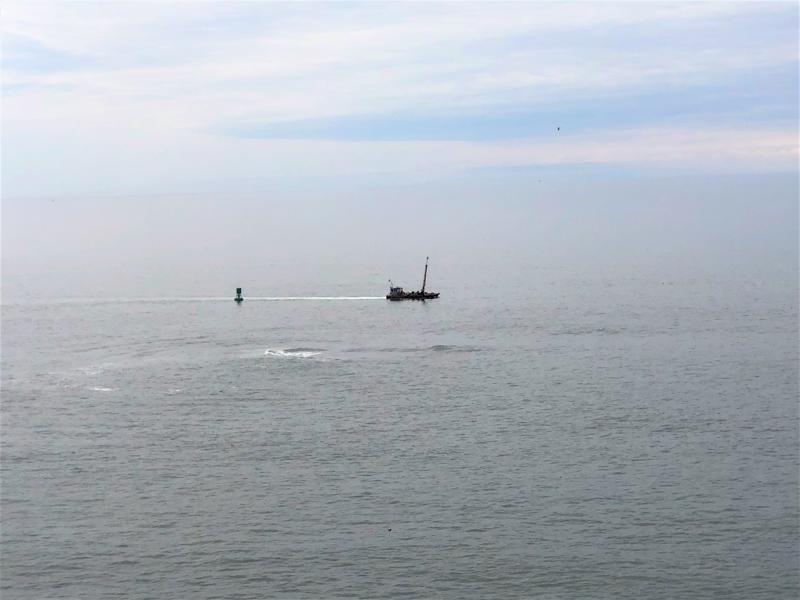
To the right of the harbor bell is the “whale.” 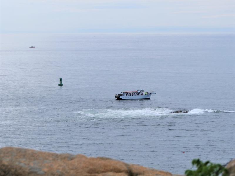
You can see the “whale” easier in the photo.
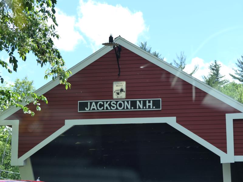
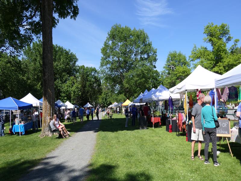
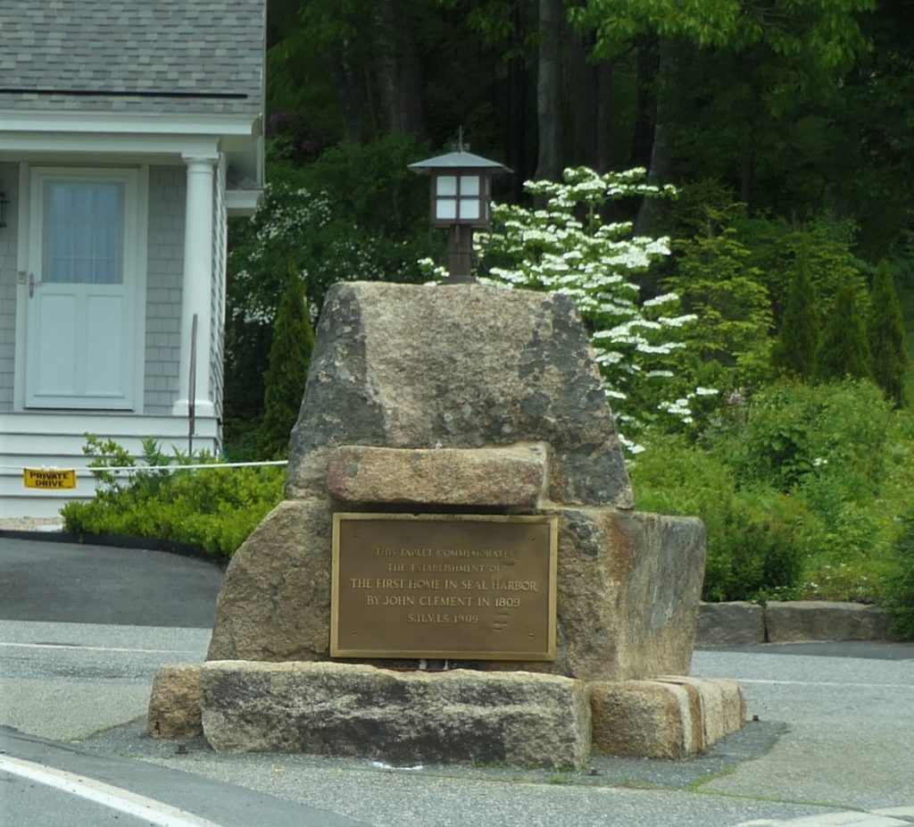
If you are as ignorant as I am, I didn’t know that Bar Harbor is on an island off the coast of Maine called Mount Desert Island. I always thought Bar Harbor was just stuck to regular old Maine-not on an island! It’s a good thing Zoom Zoom lets me get out every now and then. Bar Harbor happens to be adjacent to Acadia National Park, too. It’s a very small tourist town. Most of its income comes from the tourist industry and the average income is only around $35,000 a year. The town offers something for everyone. It also seems there is an ice cream shop every 3-4 shops, so if you get a hankering between store visits or your blood sugar runs low – don’t worry! Now comes the reason I know the average income. We bought new bikes! My old bike probably got ridden 4 times. I fell about ½ of the rides. There was no way to catch myself. I just felt the bike was too big for me. We found a bike shop in Bar Harbor that took our old bikes in for trade. The new bikes are lighter, mine is a “step through”, they swapped our seats for us, both bikes are shorter in length, they are black, and they are the TREK brand. If I need to put my feet down, I can at least put my toes down our jump off the seat. The last time I fell, only two weeks ago, I couldn’t get off my bike. I bruised my right upper thigh and landed on my right elbow. I was concentrating on not hitting my head. I still did – thank goodness for helmets! Adam, the assistant manager, was super helpful. He treated us like we were his parents. He was the one that told us the average income. Their bike shop buys, sells, and rents bikes. The rentals keep the shop going I’m sure. He has two rental properties for his family savings. We talked about this trip we are on and how we can do this at our age. He was surprised that both Zoom Zoom and I were already retired. I told him I retired when I was 50, 6 years ago, and Zoom Zoom retired when he was 53. I told him we just had great financial planning. If we must work later, we will. But now we will be safer while riding and these bikes “fit” us. Those other bikes were really meant for serious riders. If you have seen me lately, you know I’m not a serious rider.
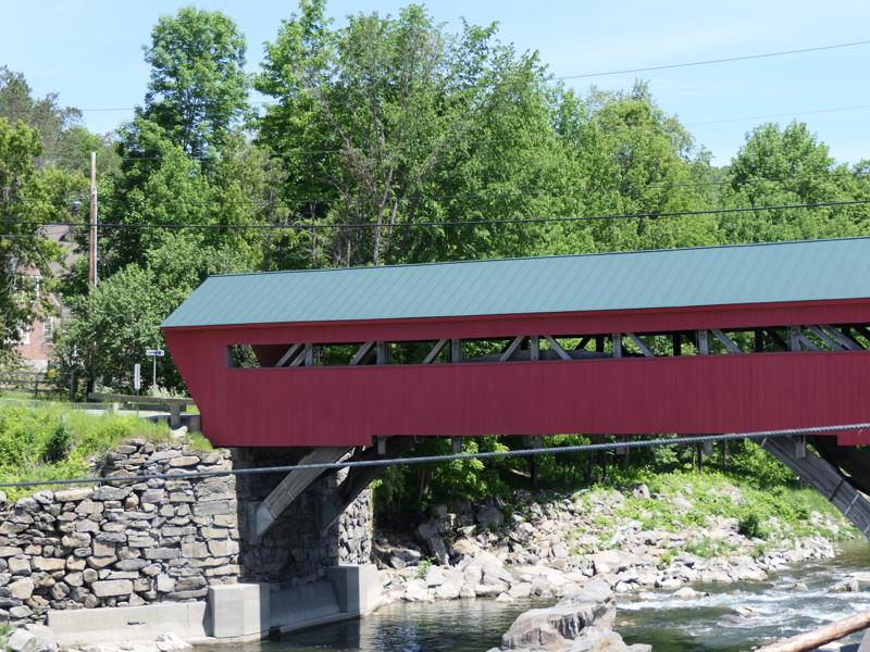
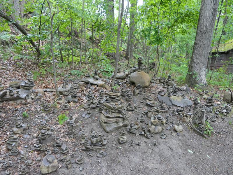
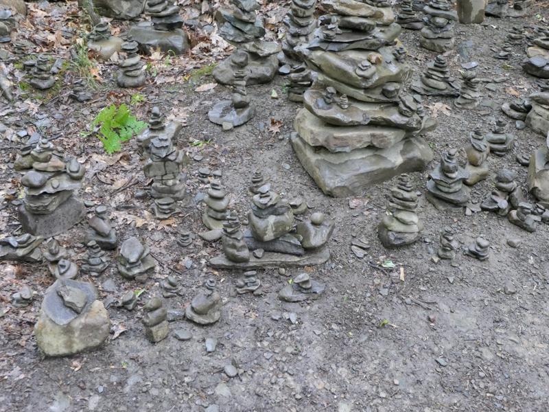
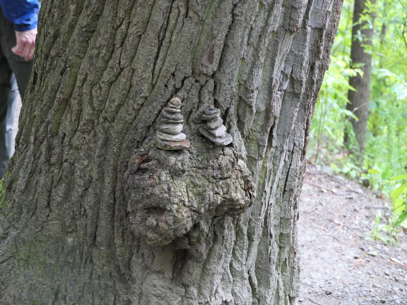
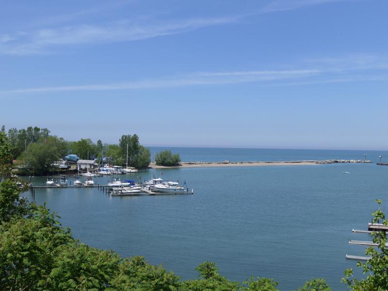
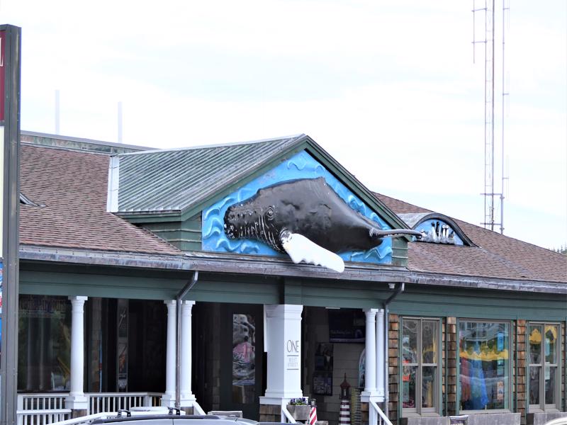
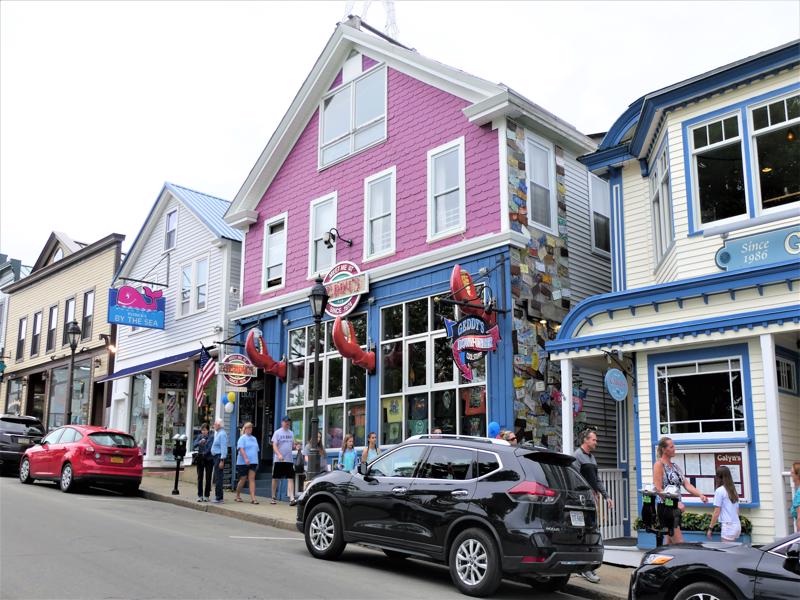
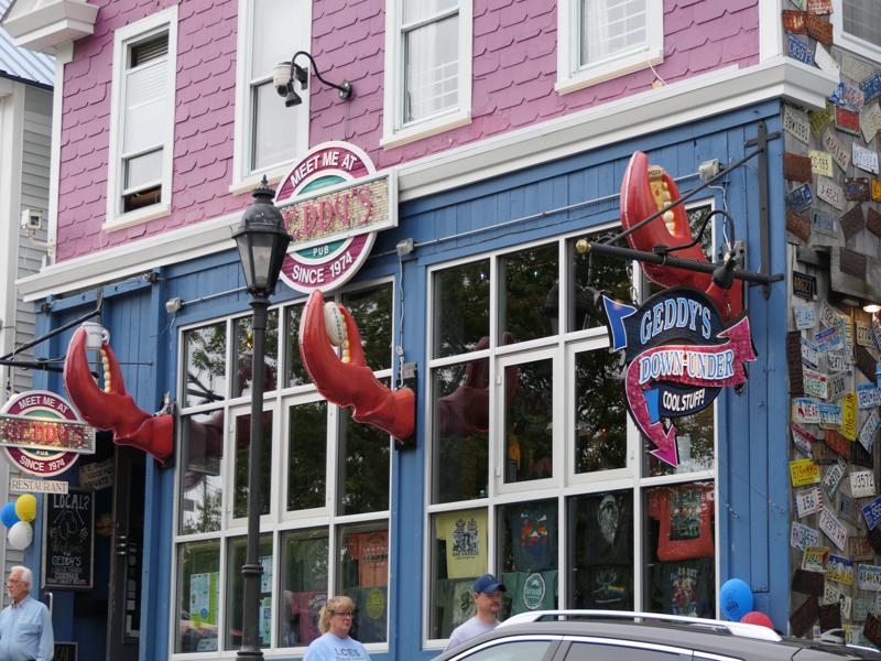
PHOTOS OF BAR HARBOR AND JUST SOME FUN ONES
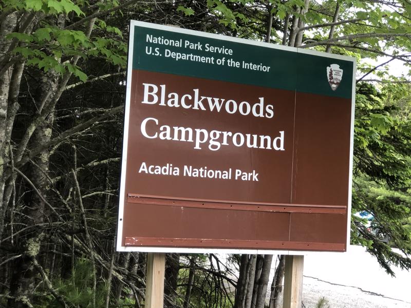
Campground we stayed in. 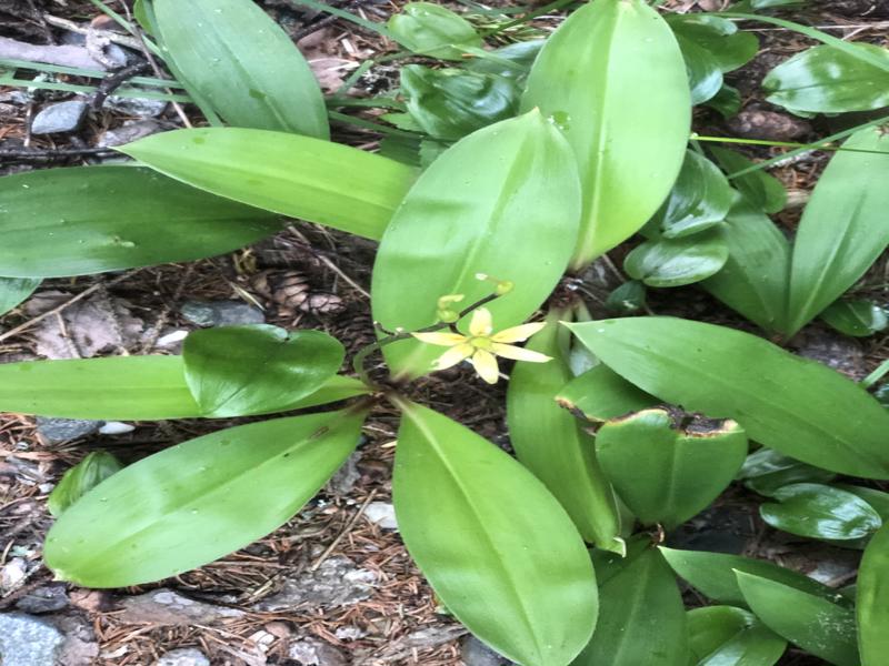
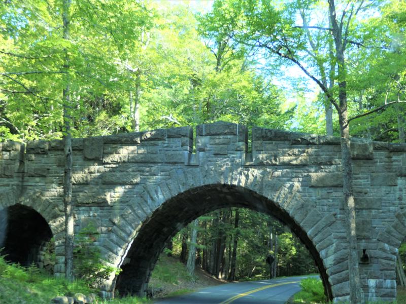
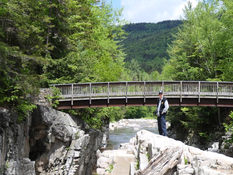
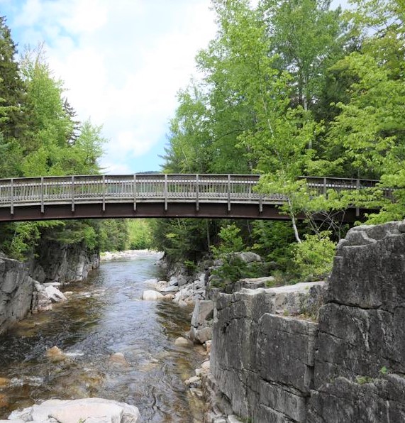
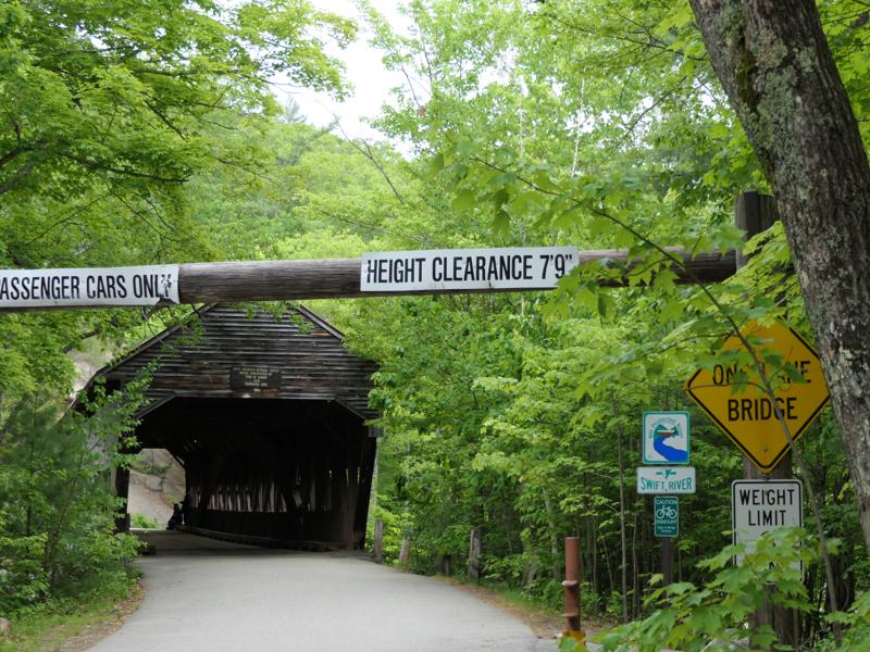
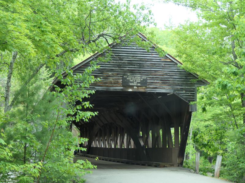
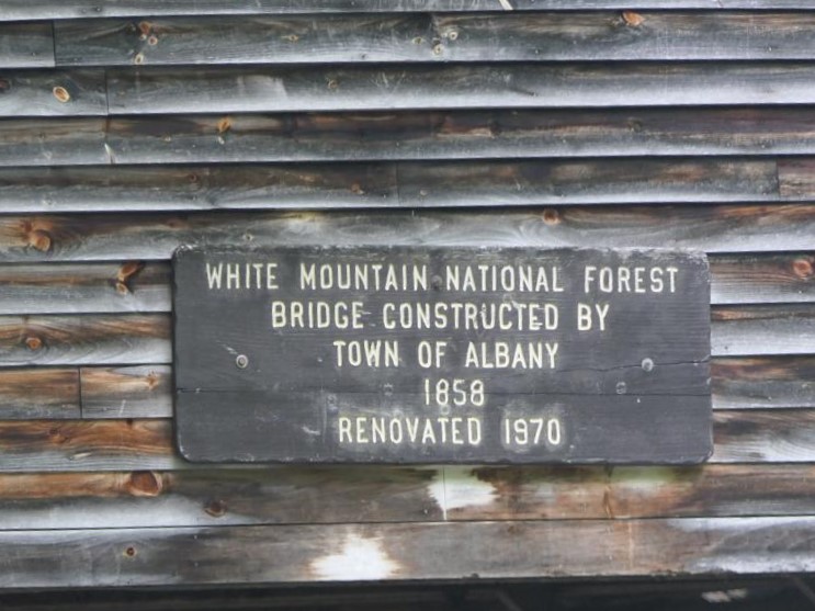
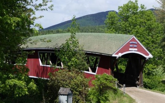
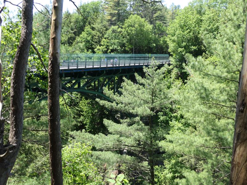
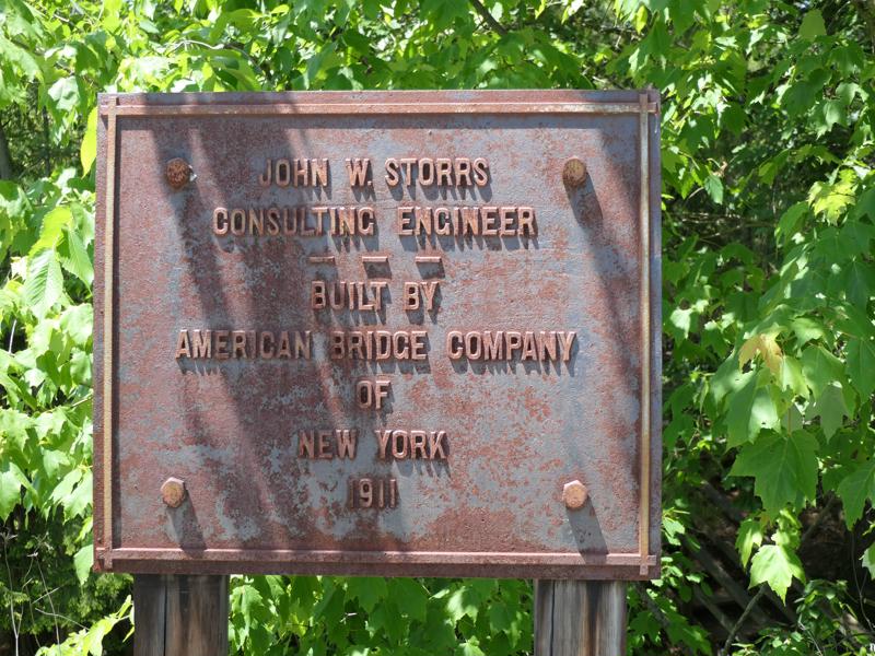
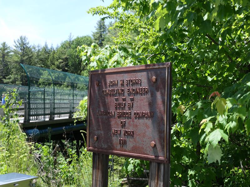
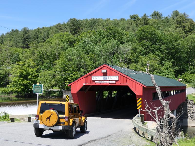
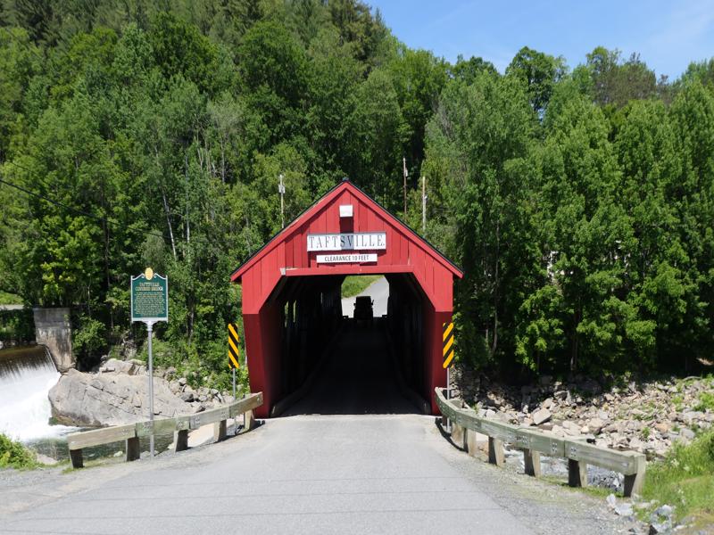
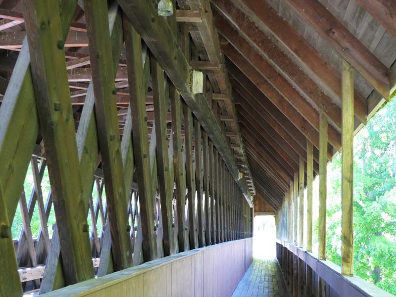
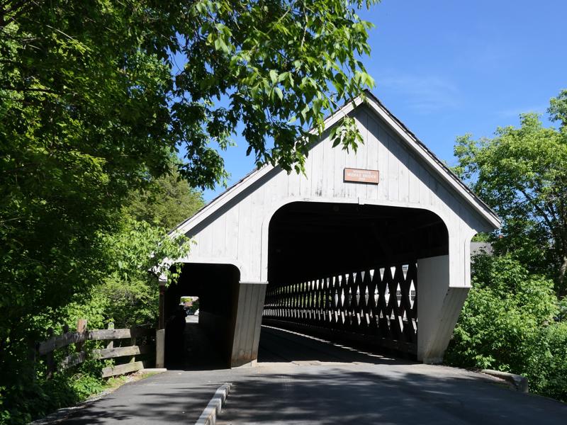
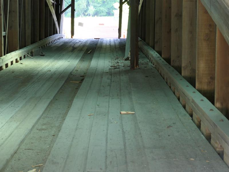
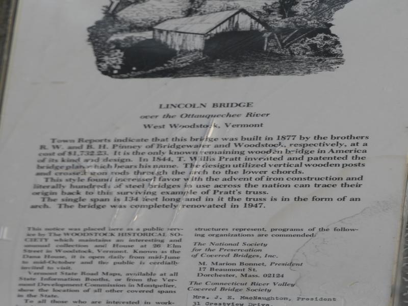
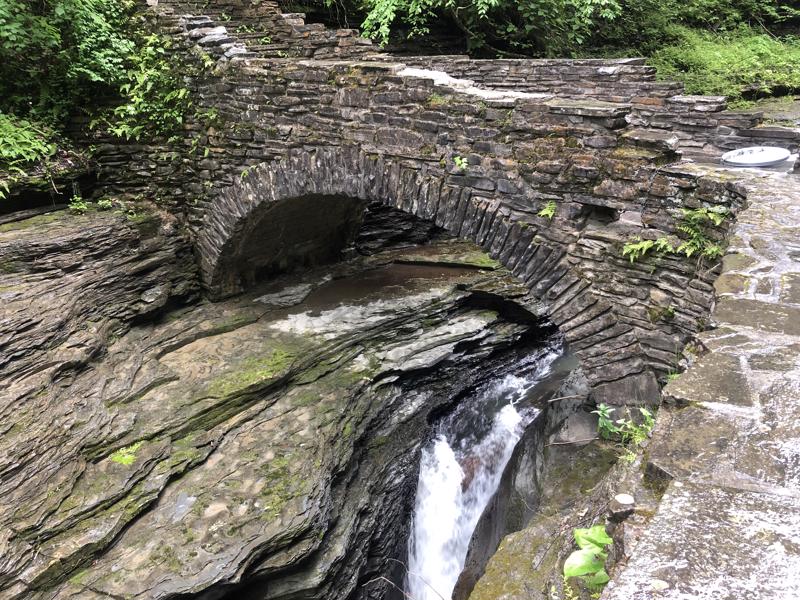
Carriage bridge built by Rockefeller 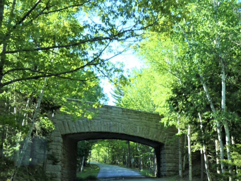
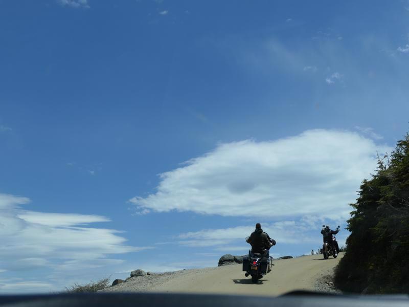
Small part of the Park Loop Road that is 2-way. 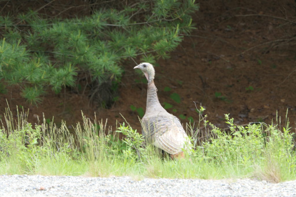
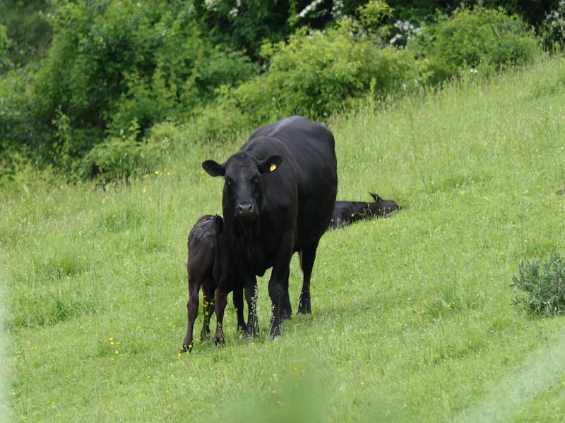
She didn’t want to come with us for Thanksgiving. Turkey! 
Here she is refusing to get in the Jeep. 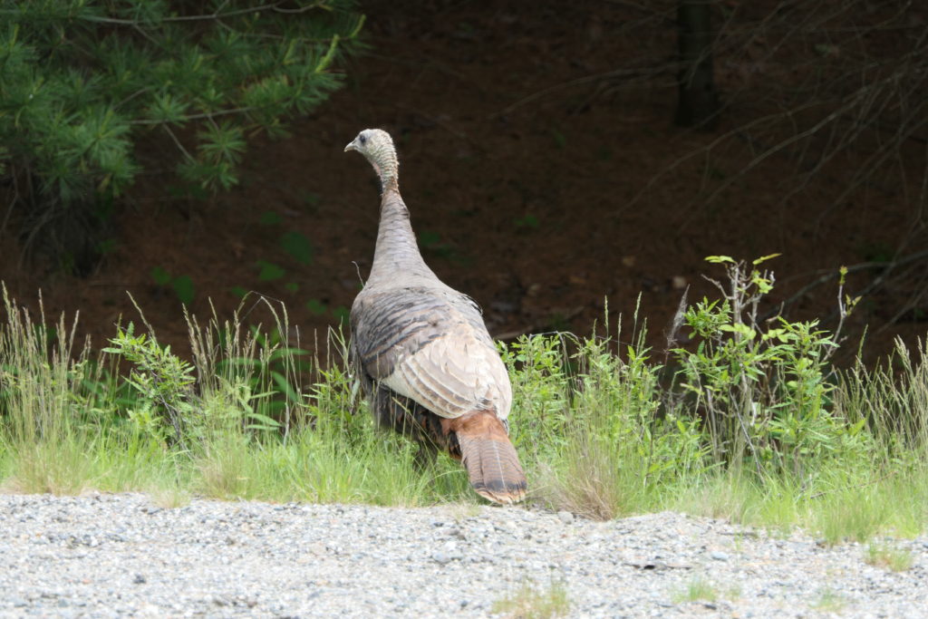
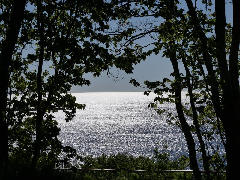


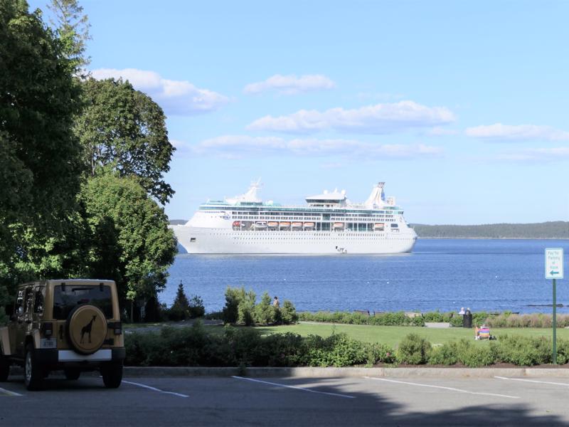
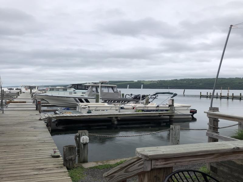
Time to cruise! 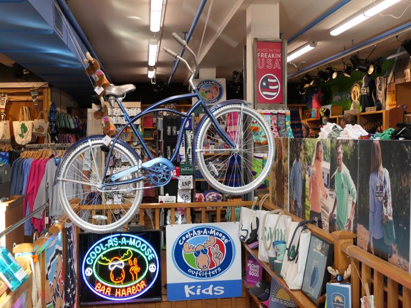
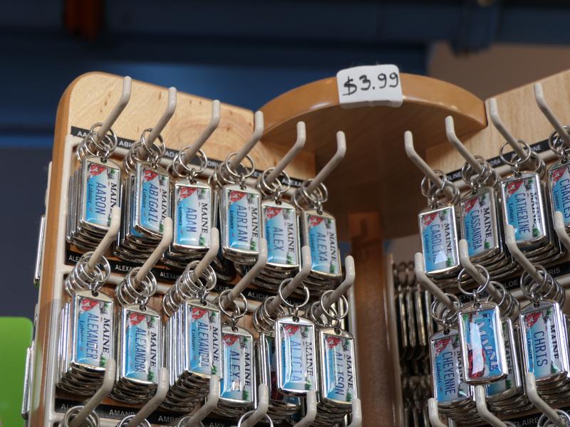
Nope, no Aaliyah’s 


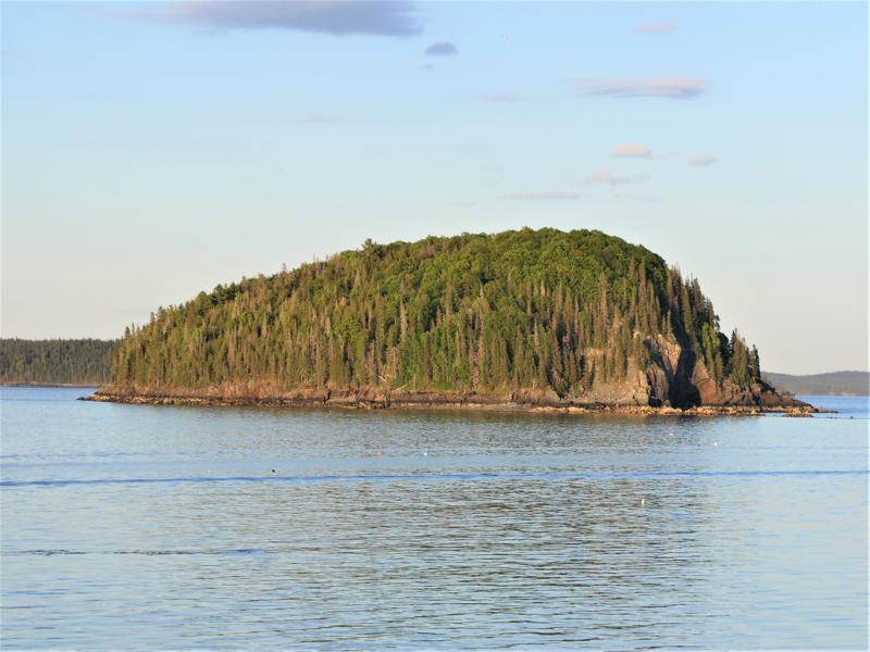
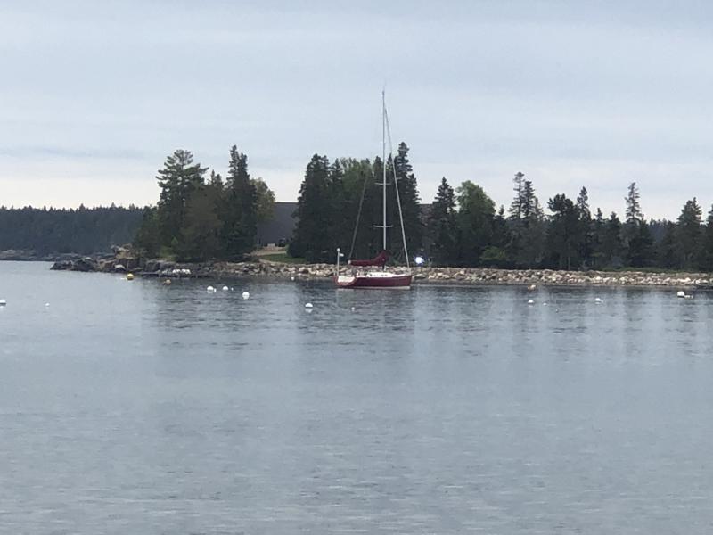
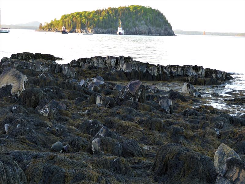
Porcupine Island (1 of 3) 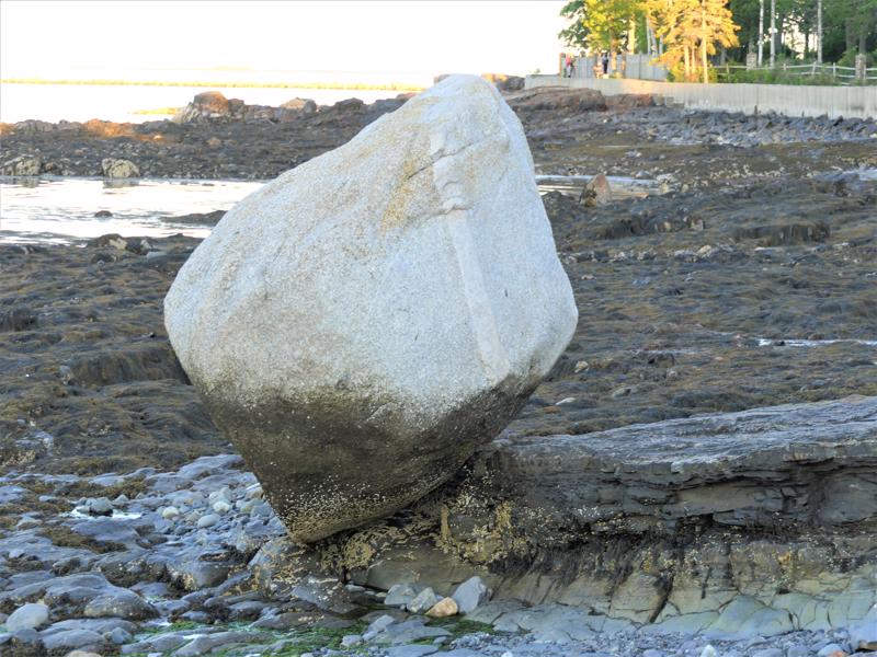
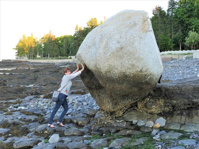
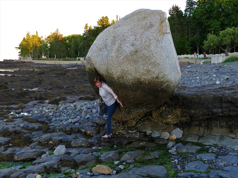
Balance Rock. It’s been like this for a couple of years. 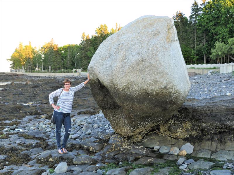
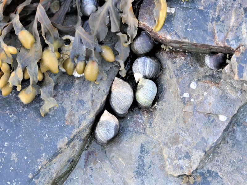
Low tide. This is seaweed and kelp. 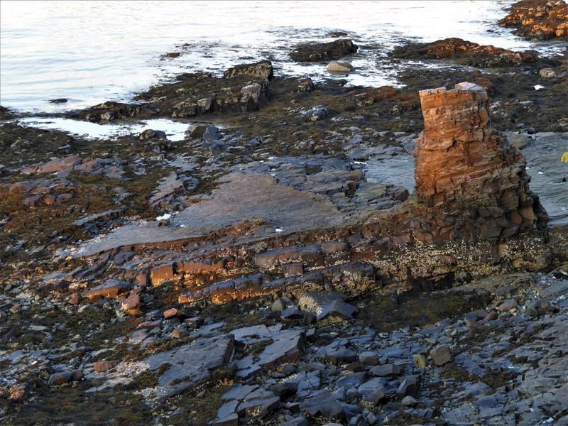
The rock structure is at least 15 feet tall. 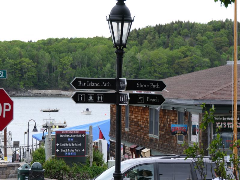


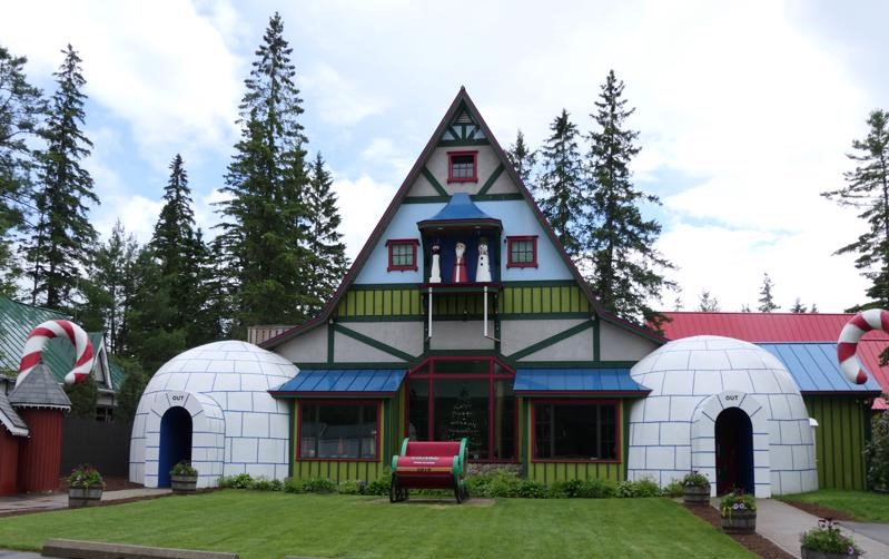
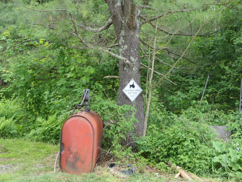
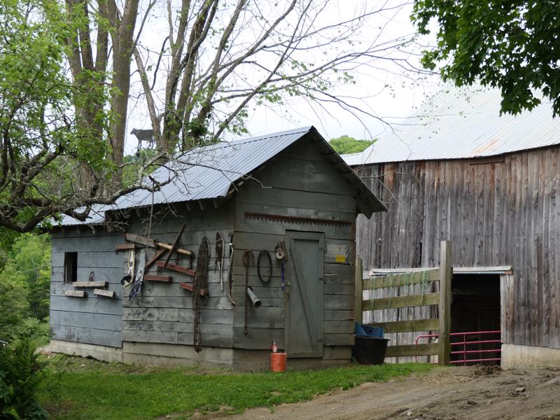
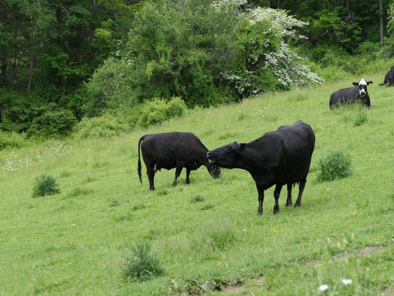
If we need jobs – this place might hire us. 
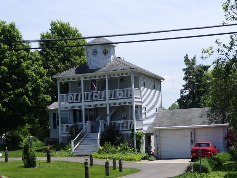
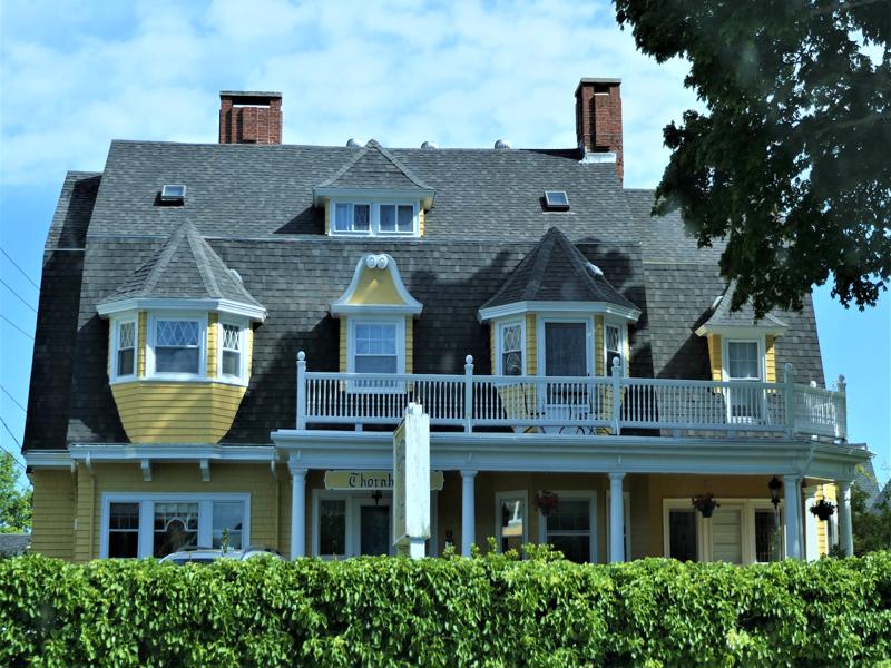
Holbrook House 

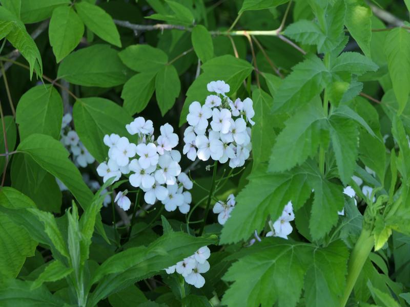
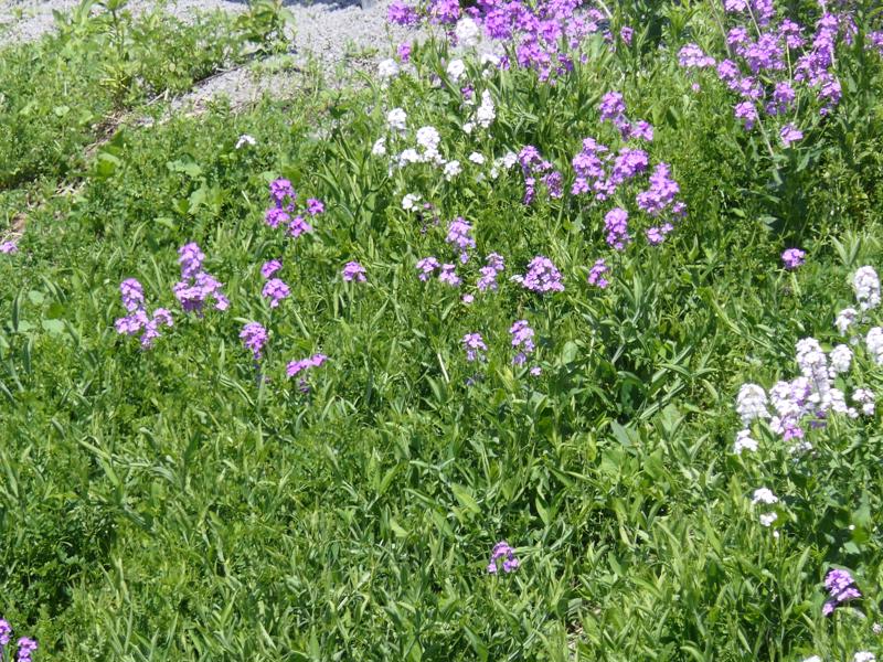
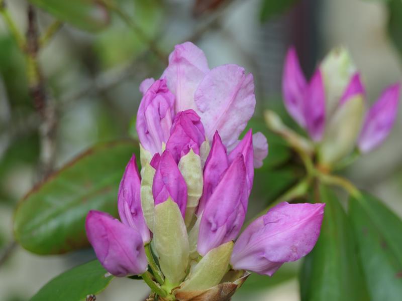
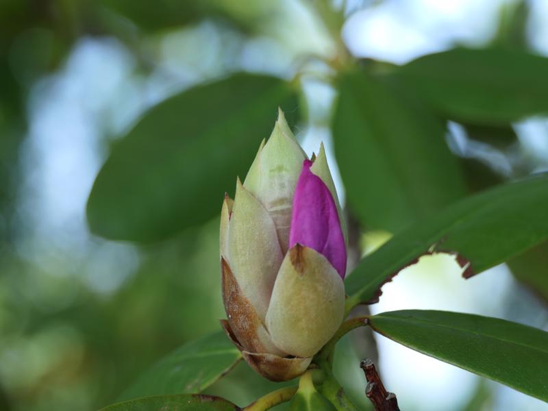
They have the prettiest wildflowers.