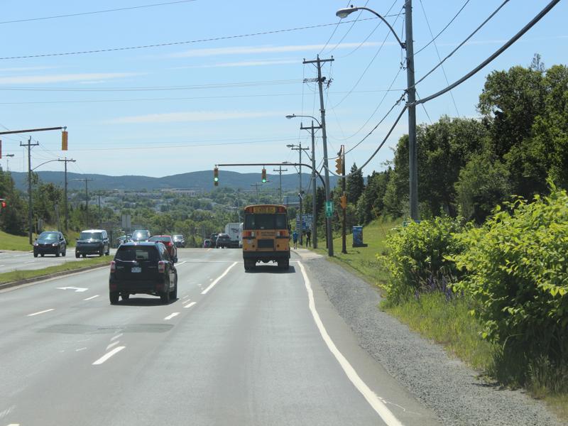
One day while we were driving around I was thinking how similar the US is to Canada and then there are ways we are MILES different. Their signs are by far the biggest way we can be both the same a different. First, they don’t have all the junkie signage up and down their highways, in fact they don’t have any advertising signs running up and down their highways – AT ALL. The moment we crossed back over into the US we were hit in the face with a cacophony of signage. It’s too much! It’s like having signage A.D.D.! You don’t know where to look. No wonder we are a more hyper society, in my opinion. We never have a down time. Even driving from point A to point B we are slammed with signs. We need a break!
On to the reason for this post. Some of their signs are exactly the same as ours-street signs, stop signs, yield signs and some of their signs are super funny, some are IN YOUR FACE! I think if you put up a sign it must have something to say or don’t put it up!
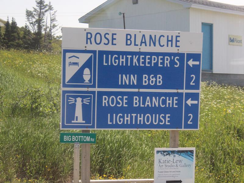
I want to live on Big Bottom Rd. 🙂 


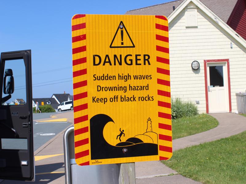
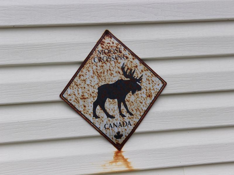
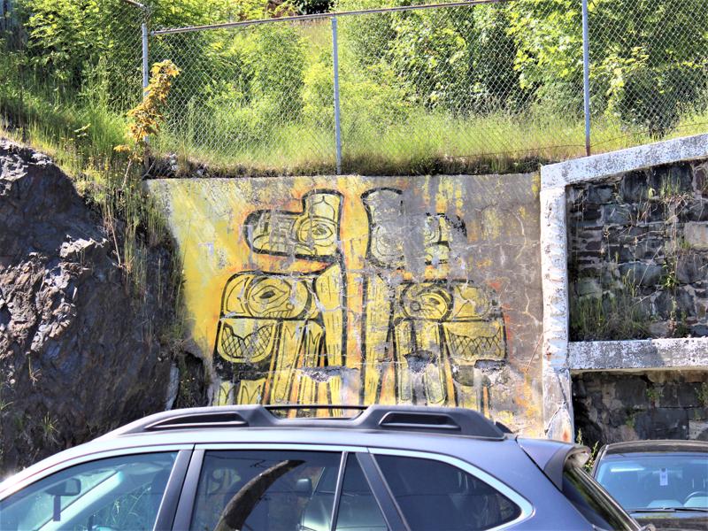
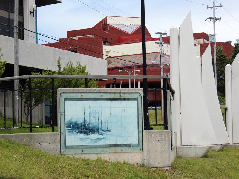
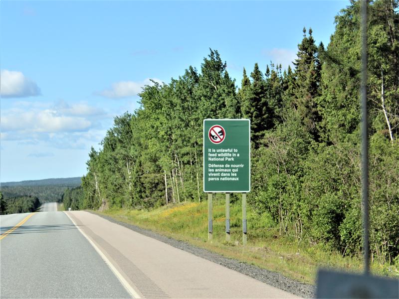
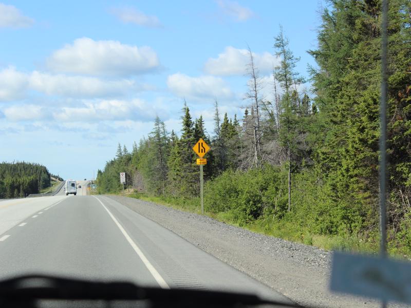
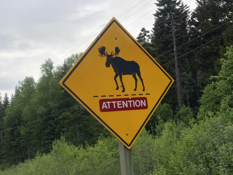
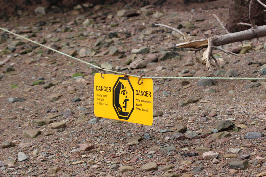
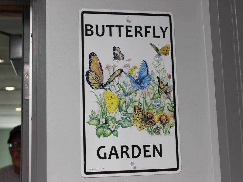
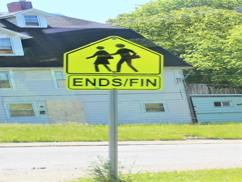
If you don’t read English, do you think you’d understand the picture? 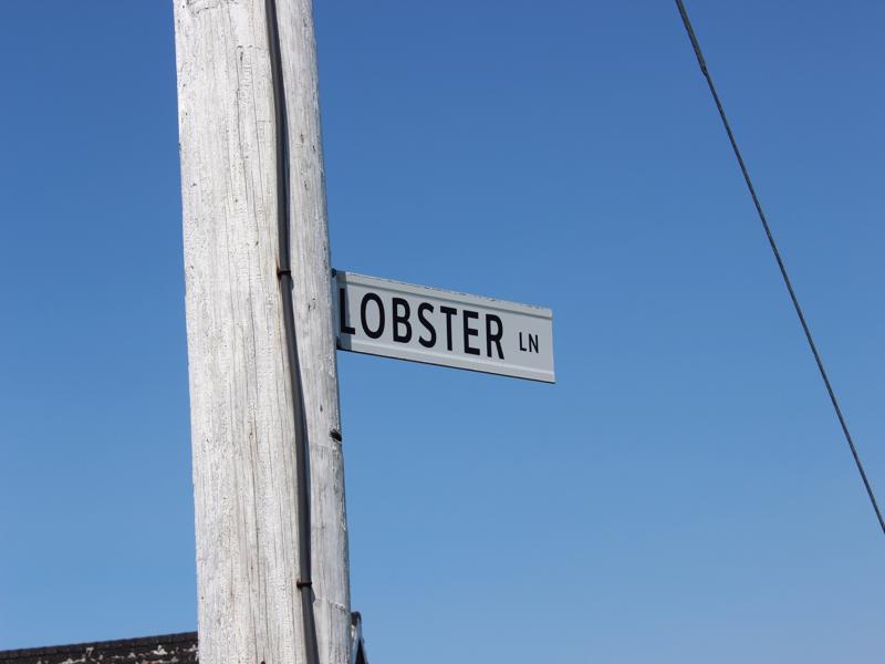
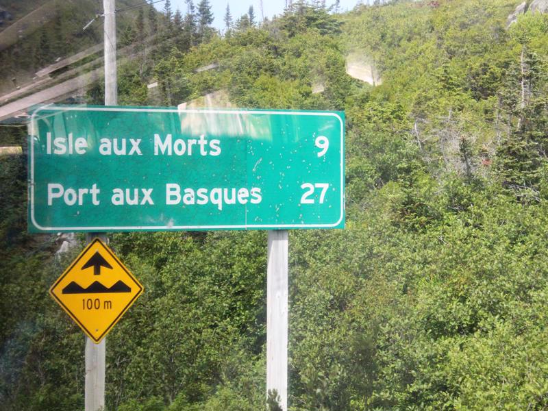
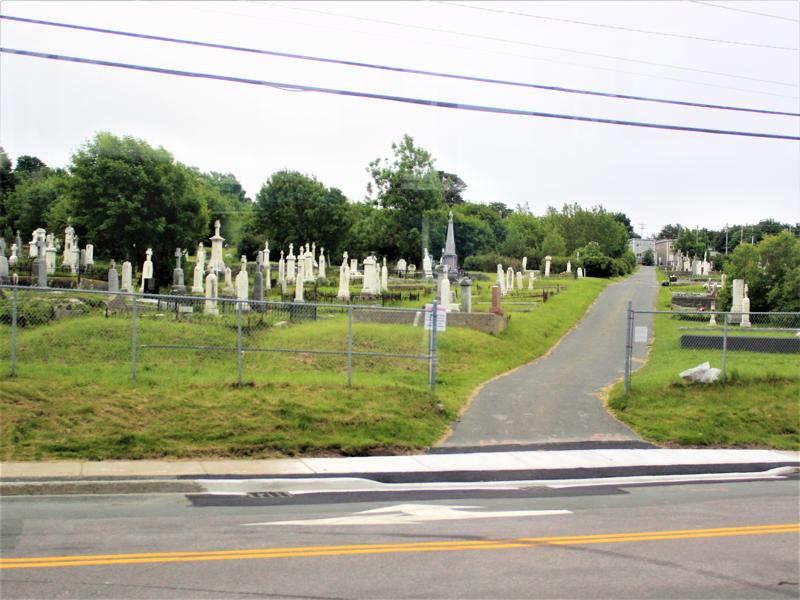
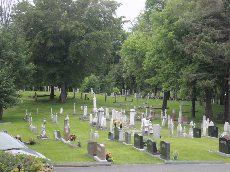
Isle of the Dead…S c A r Y
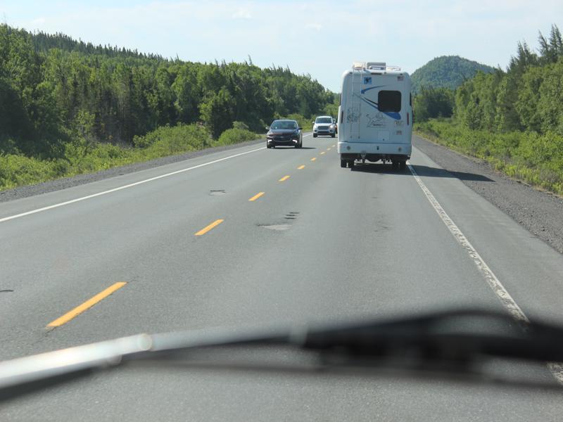
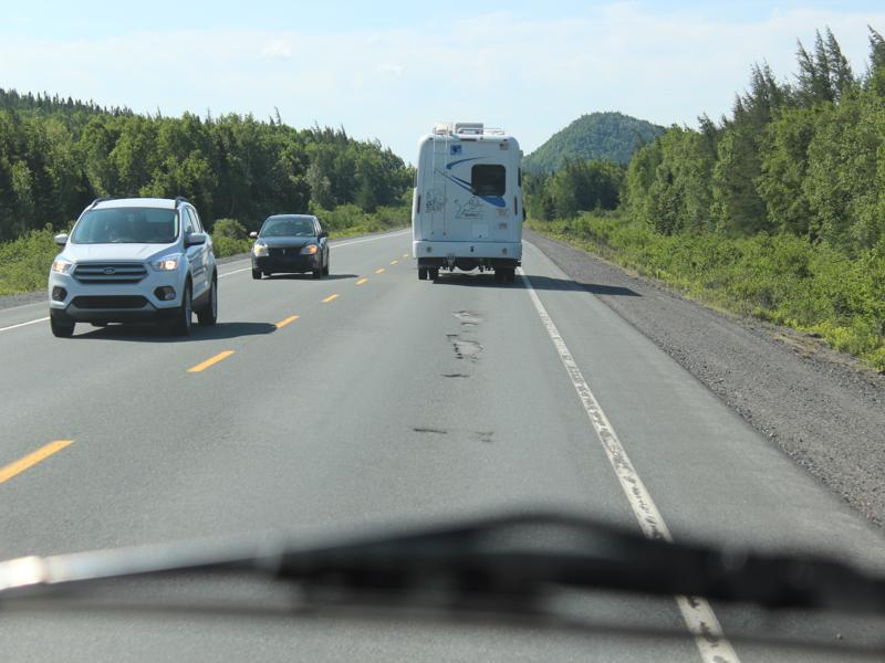
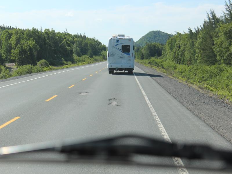
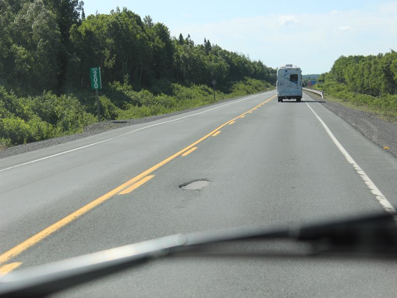
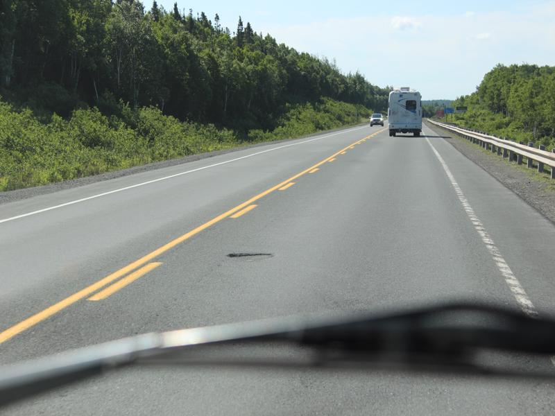
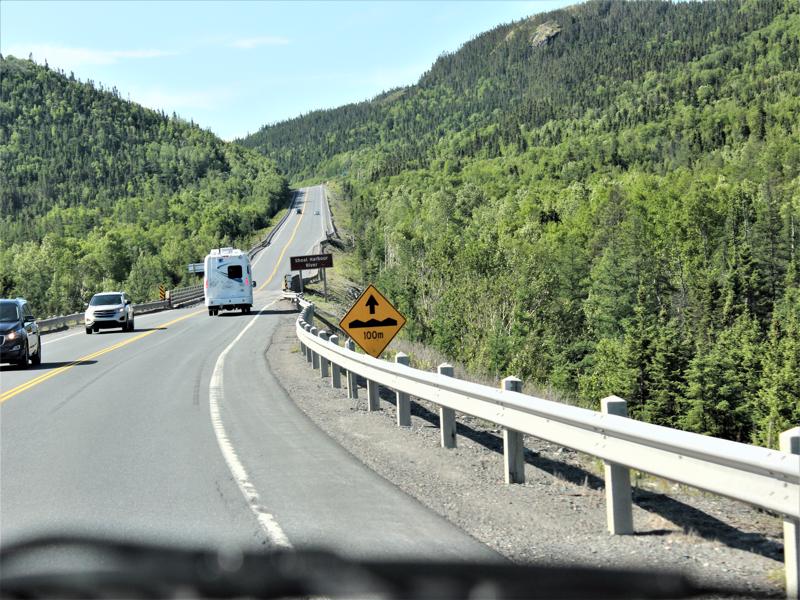
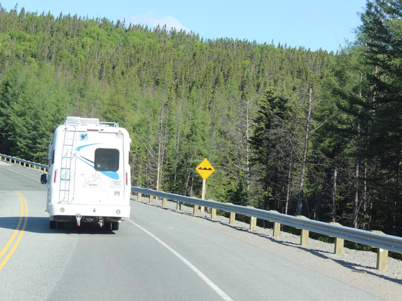
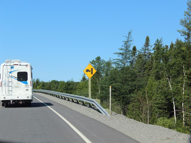
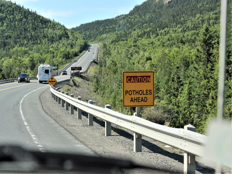
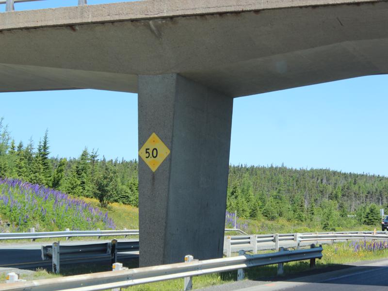
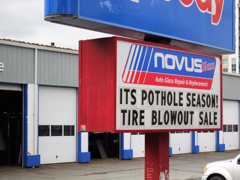
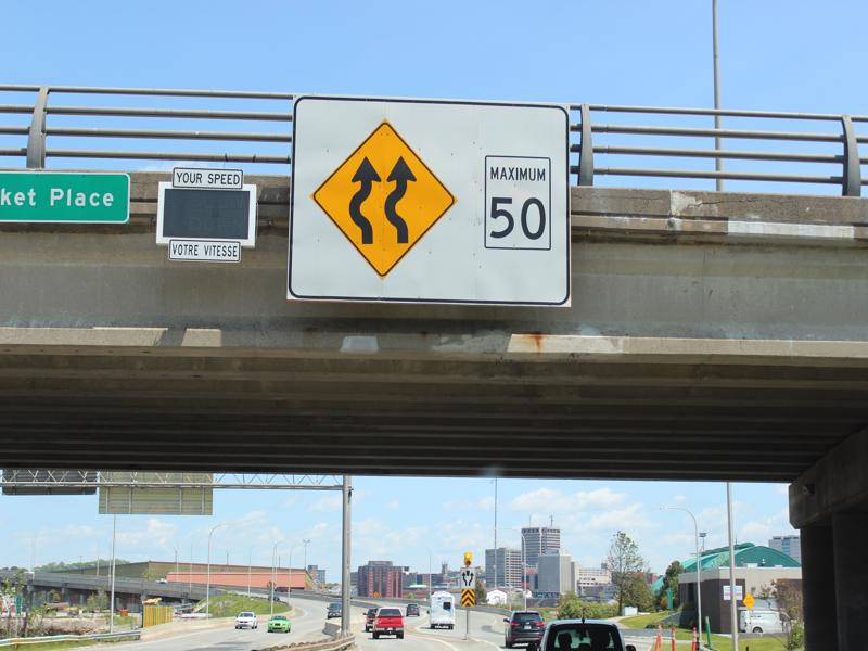
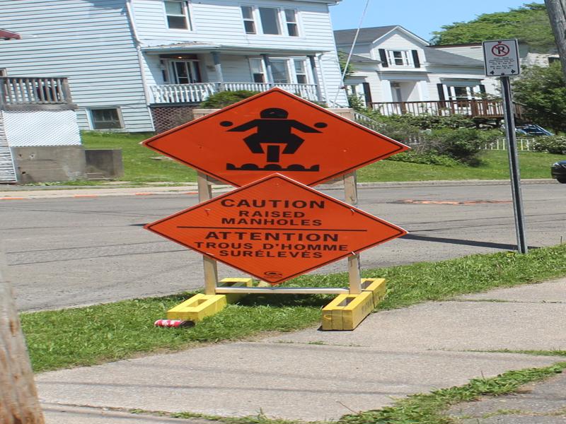
Yes…more bumps! They needed a sign for Smooth Road Ahead! They would save money on signs.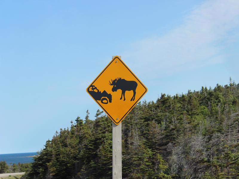
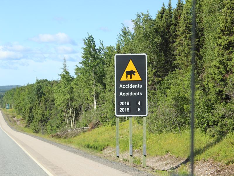
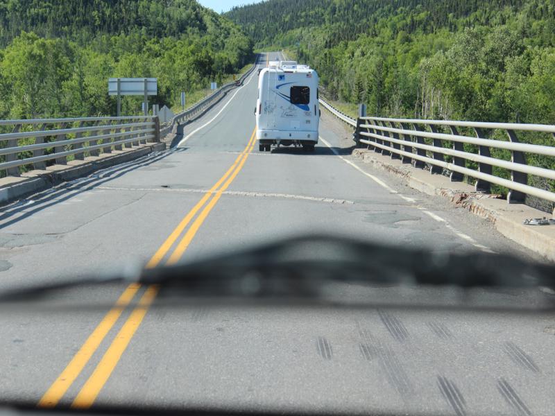
Ouch! That’s a total! 
How can that be? 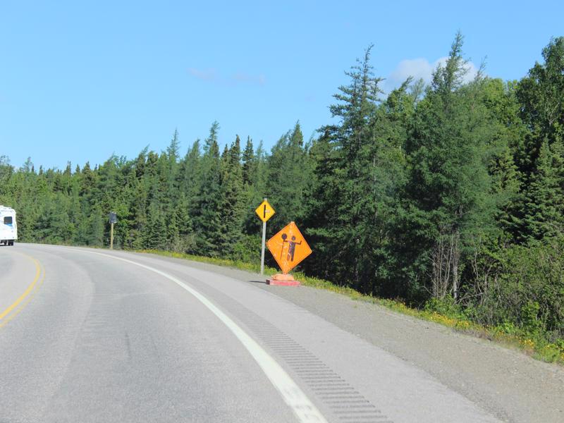
Lollipops ahead! Yay!!! 
Beaver in utero 
They are just kidding! 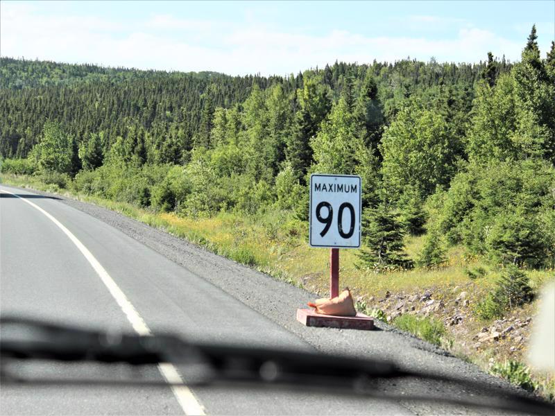
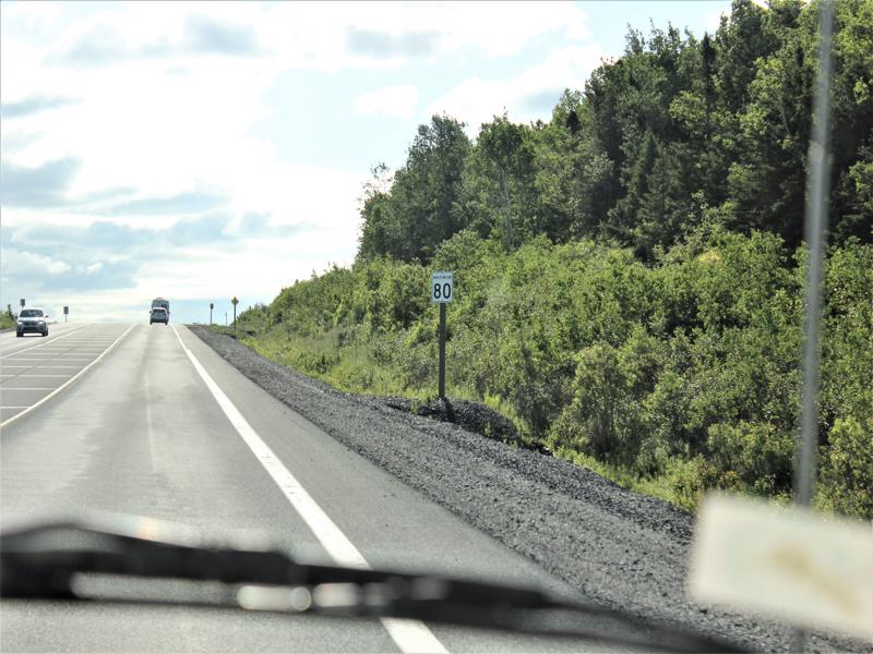
55.9 mph 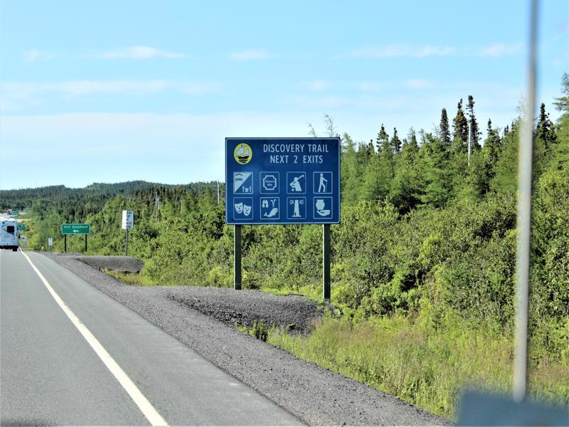
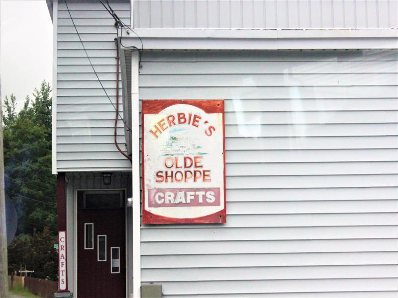
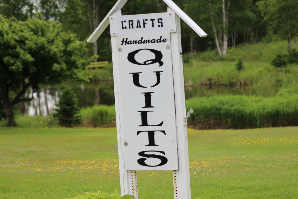
The last one was a stumper! No, it’s not if you die they give out Free Urns. It means Crafters ahead. 
This is a head scratcher for sure! 

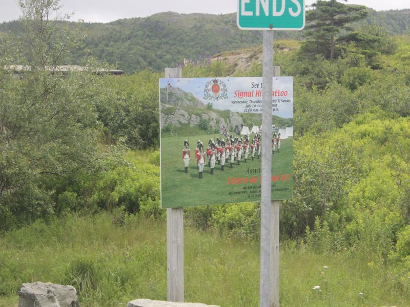
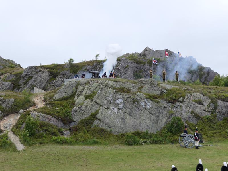
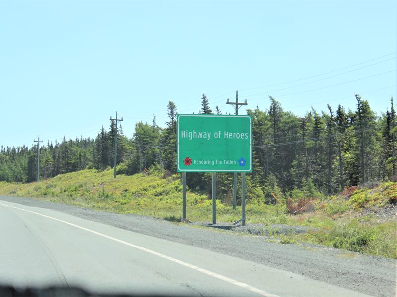
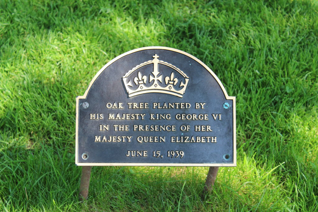
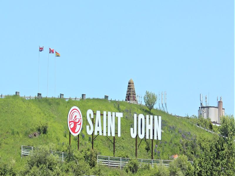
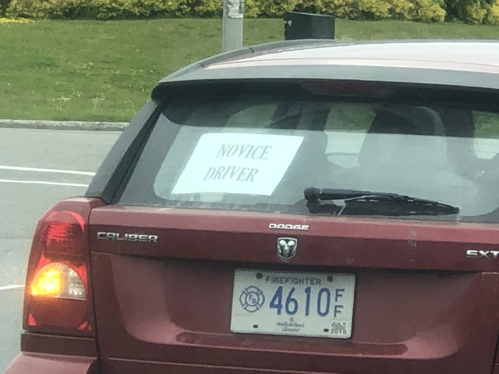
Love this. They truly celebrate their heroes. 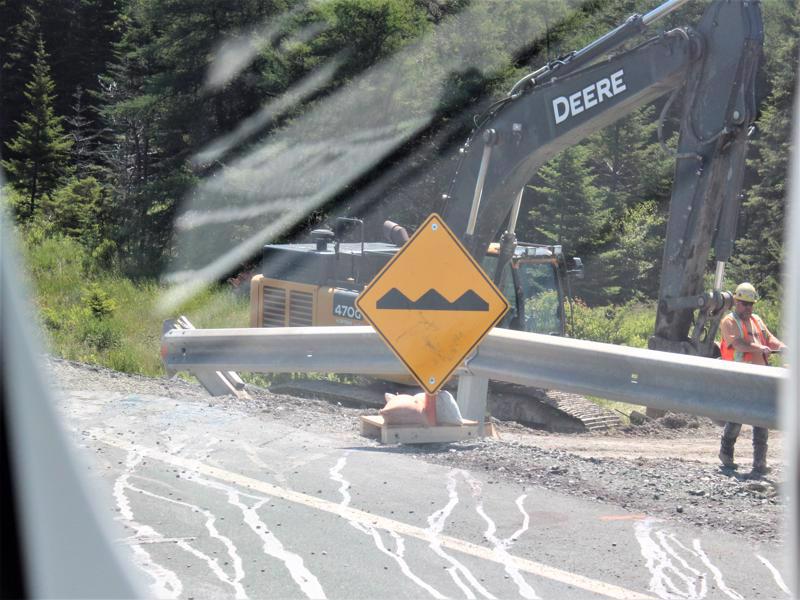
Yep, we know! 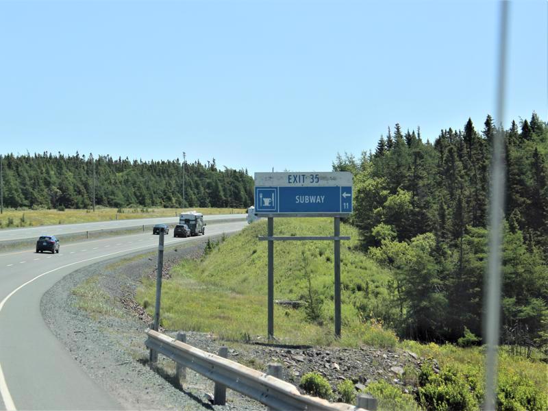
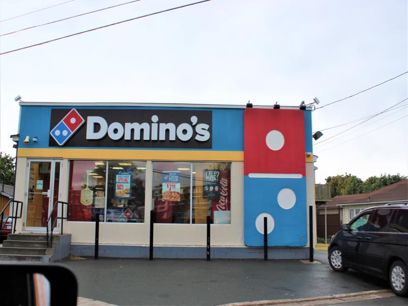
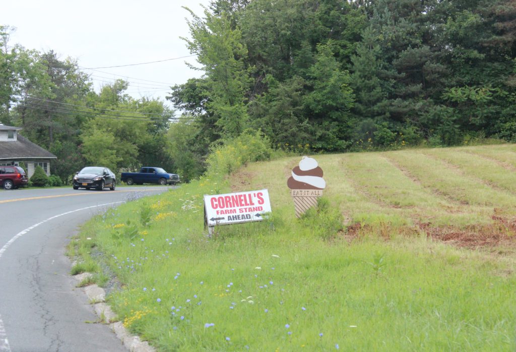
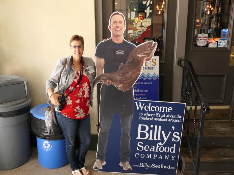
This is how restaurants are advertised. 
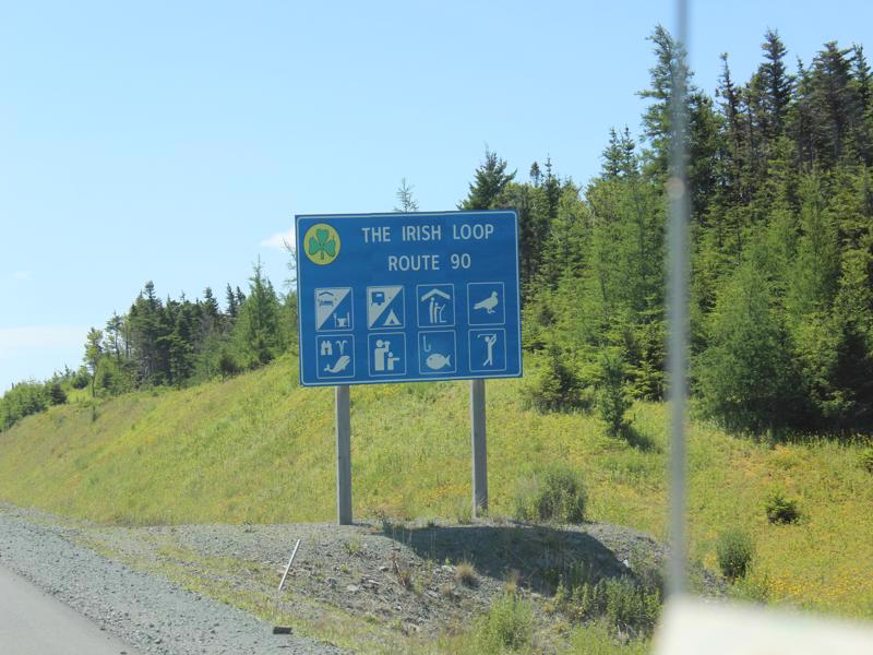
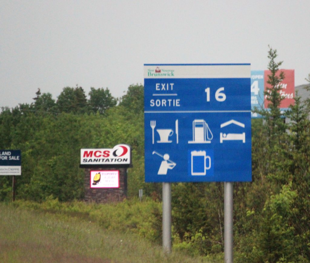
What’s the 3rd one over on the top row? We still can’t figure that one out!
Video games ahead?
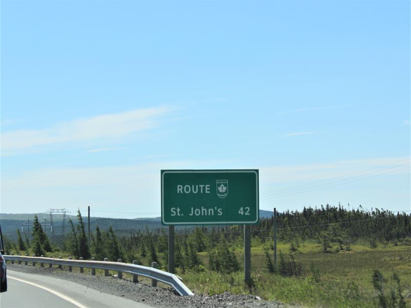
42 K = 26 miles 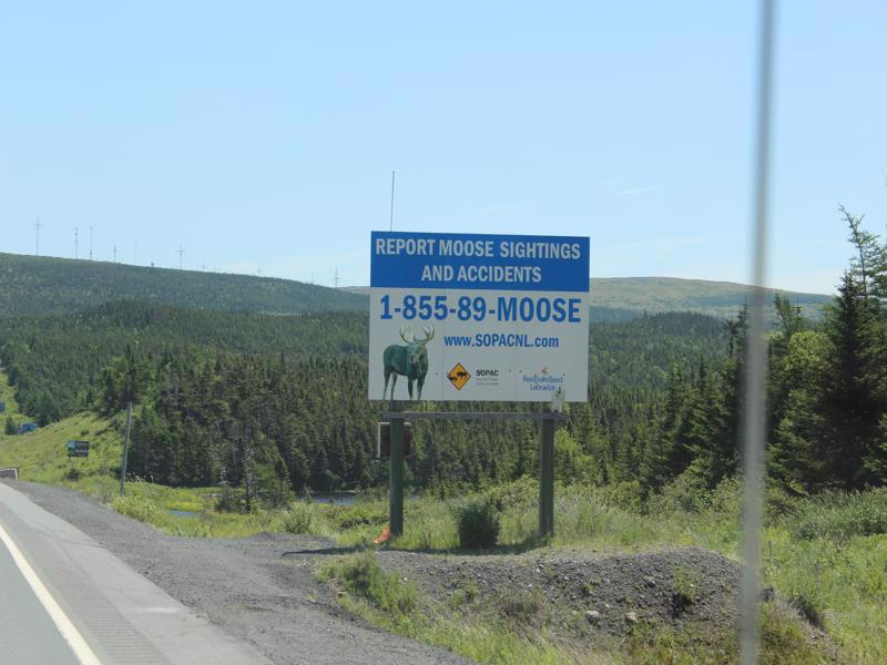
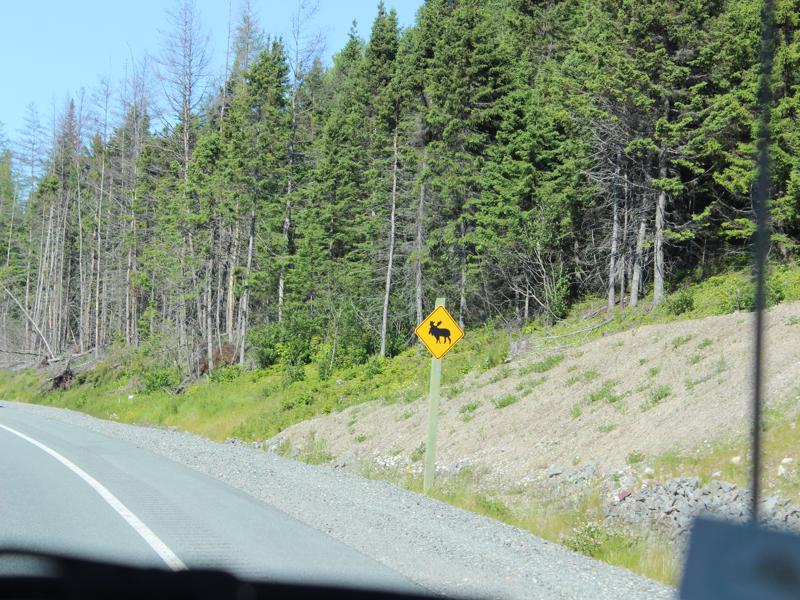
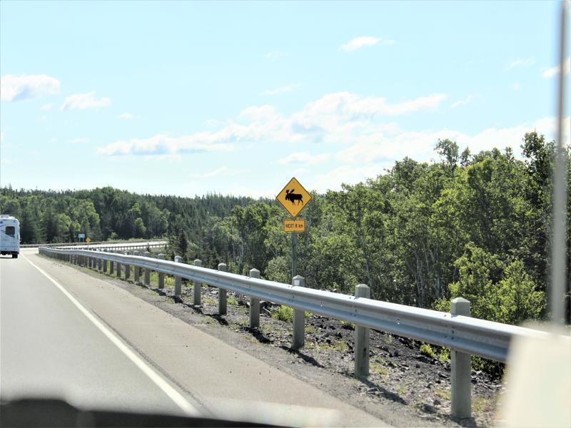
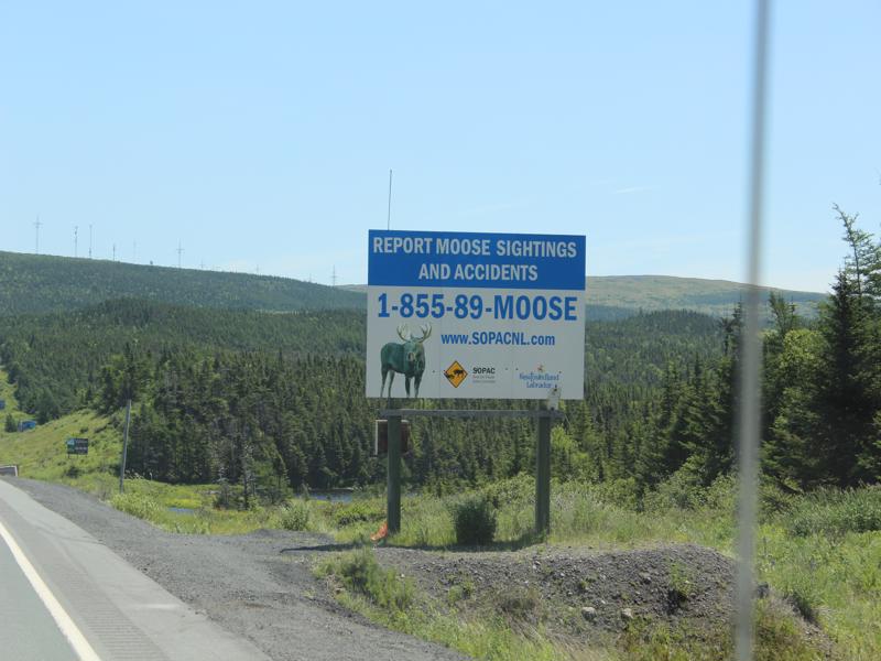
Please report a moose sightings. It’s like Sasquatch! 
They only post these because they are hiding from us! 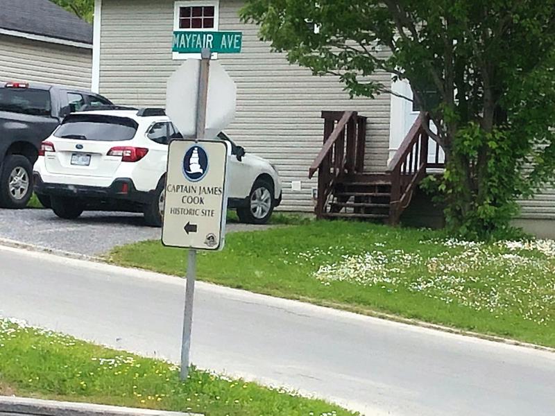
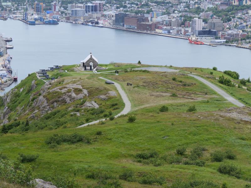
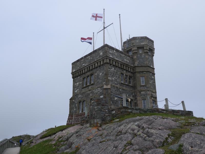
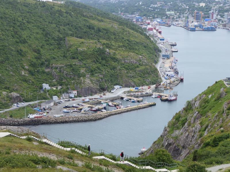
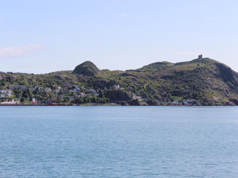
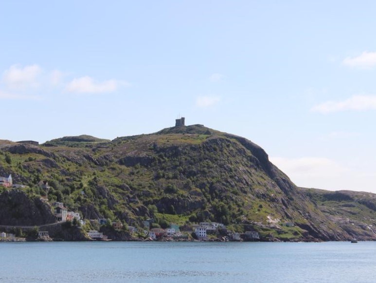
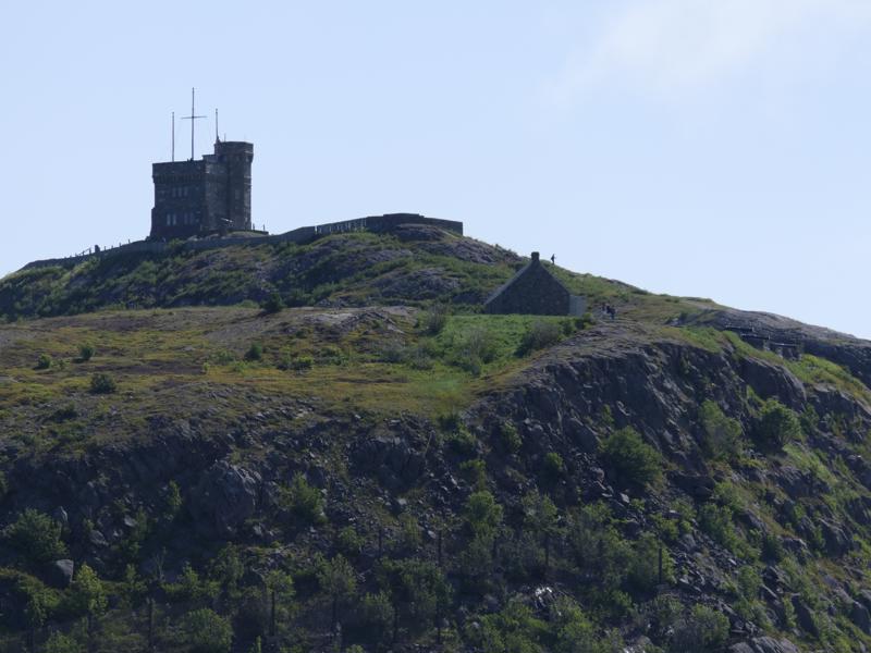
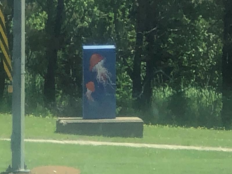
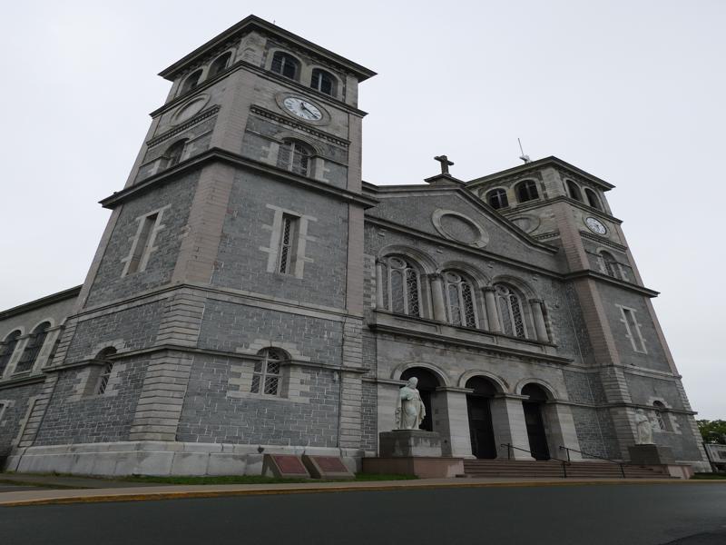
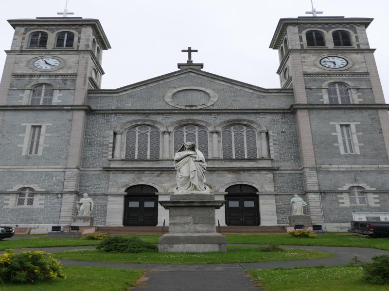
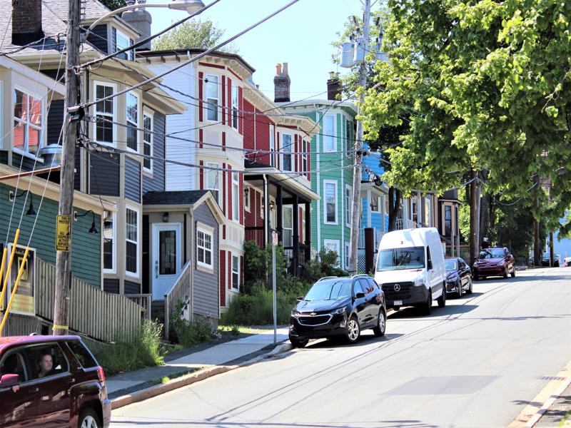
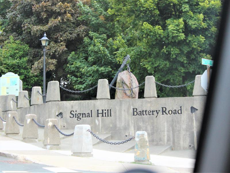
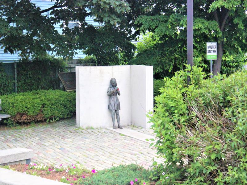
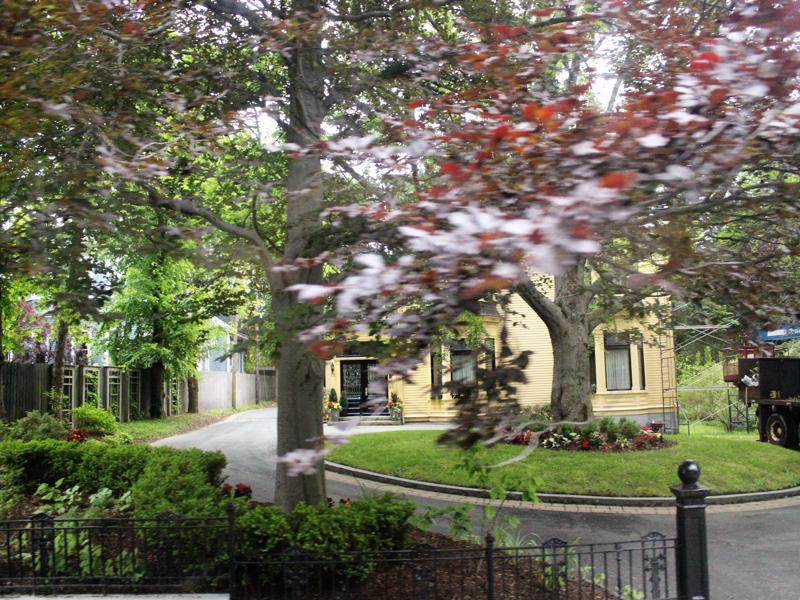
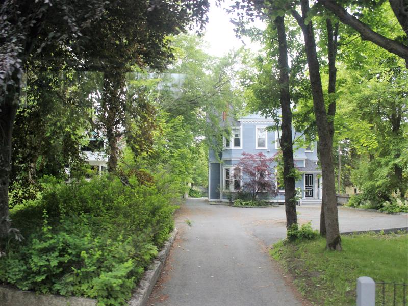
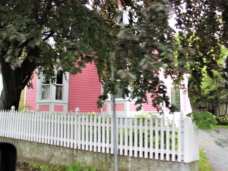
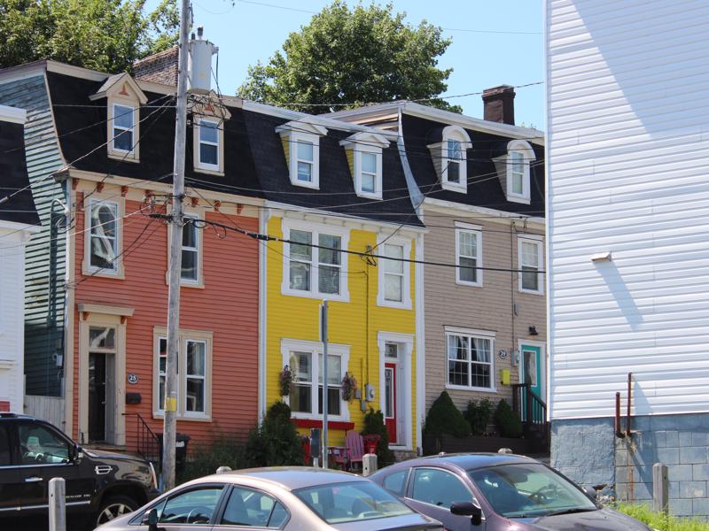
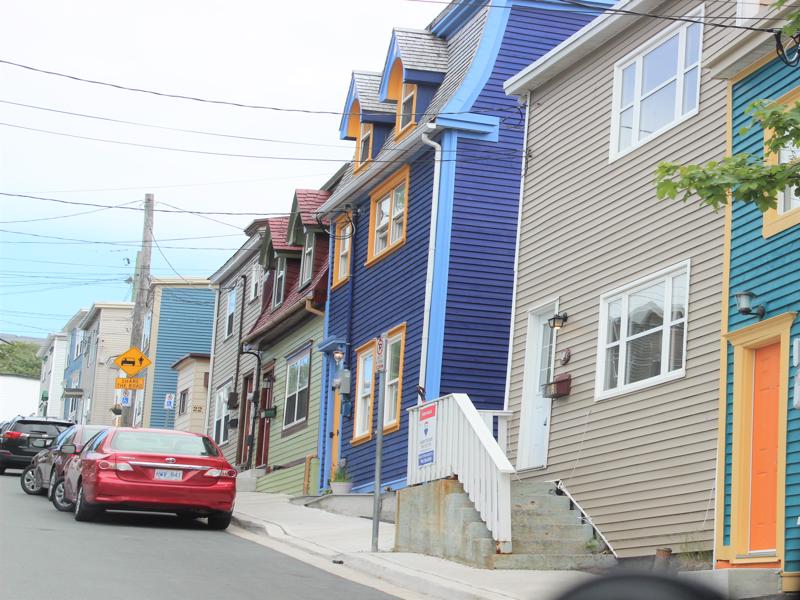
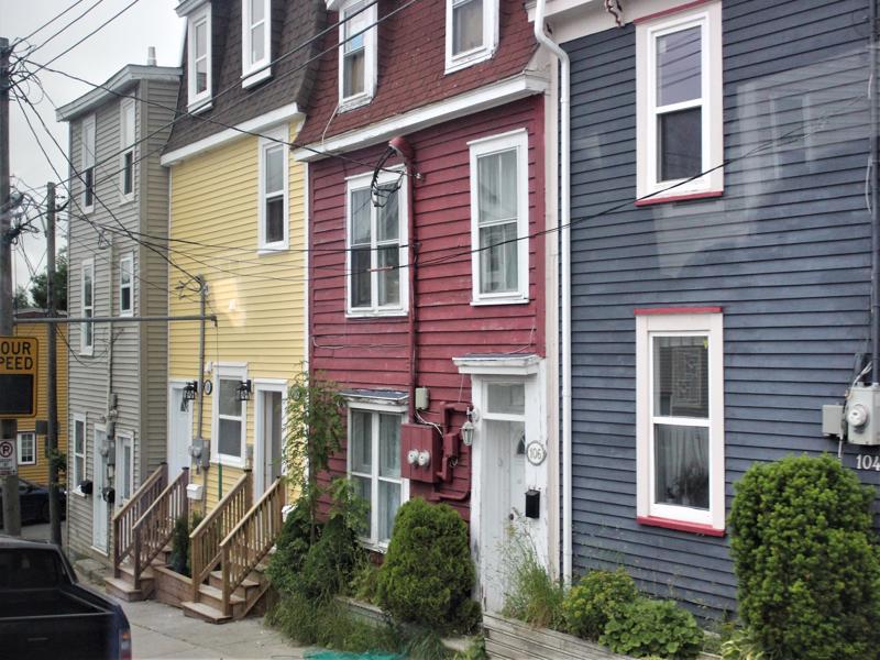
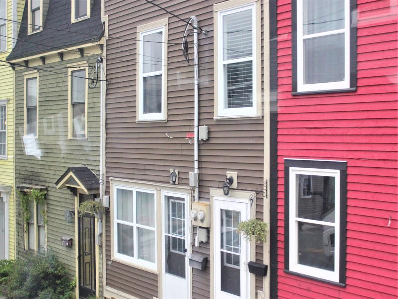
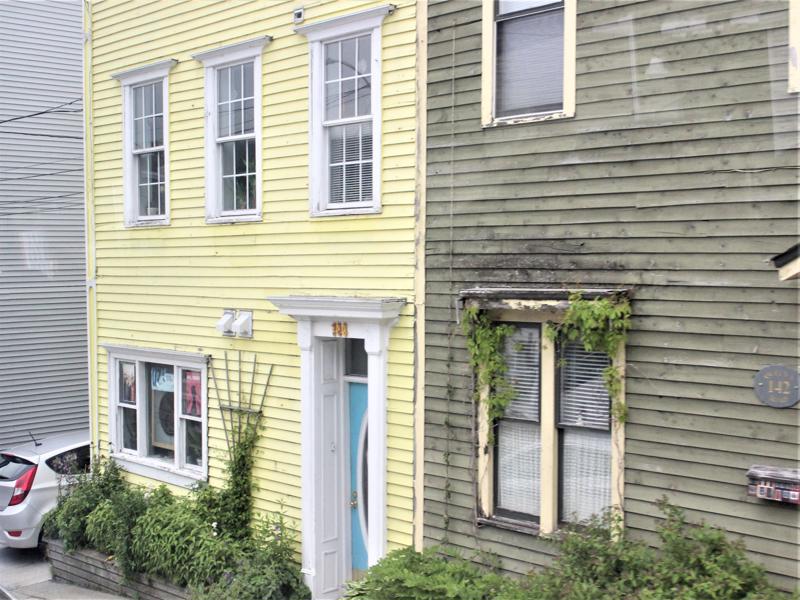
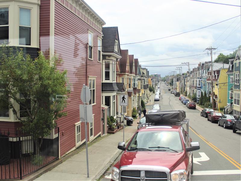
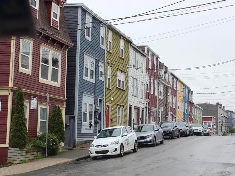
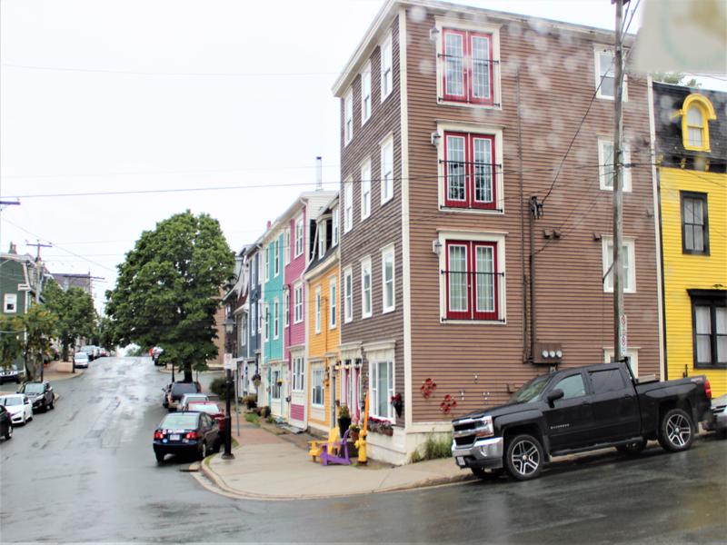
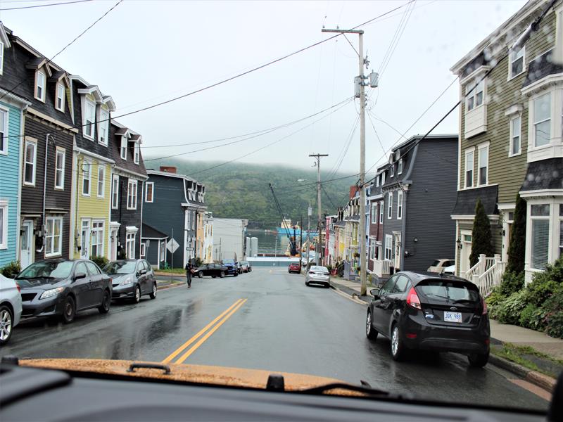
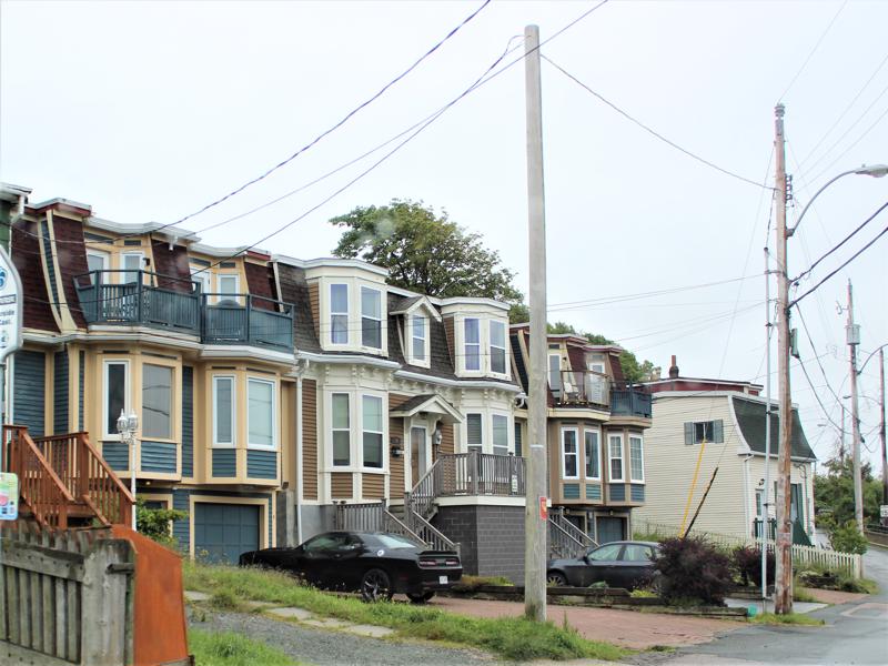
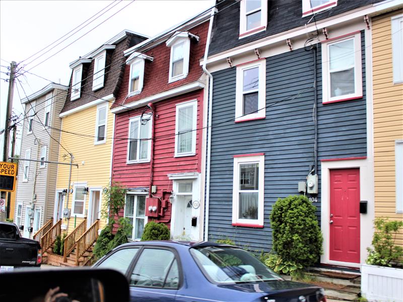
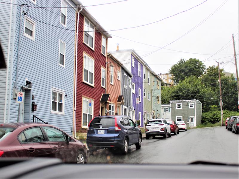
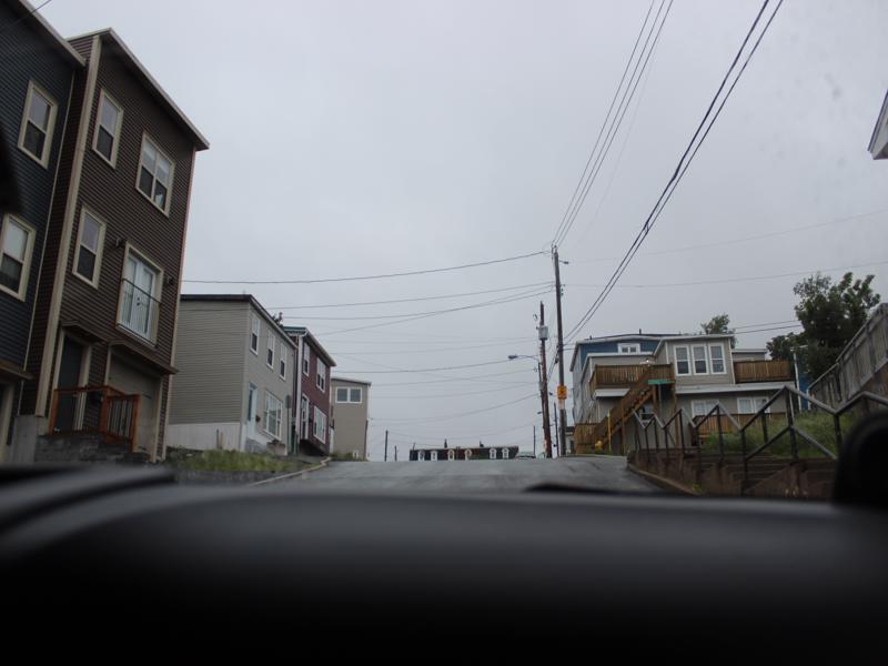
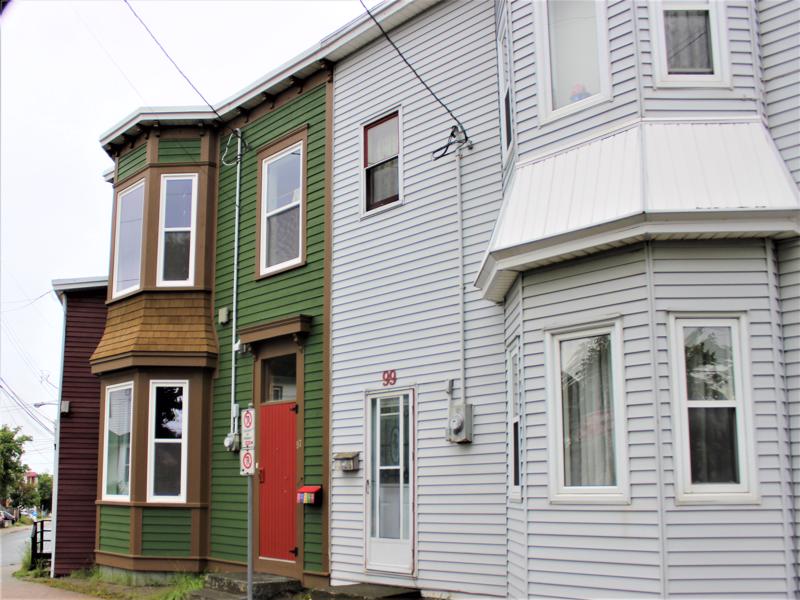
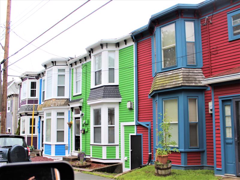
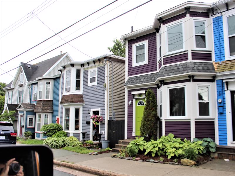
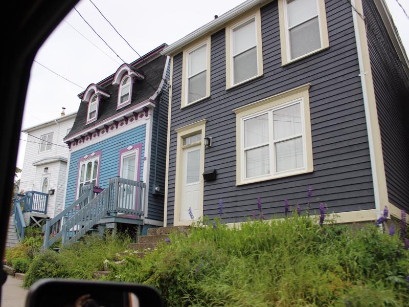
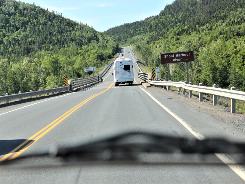
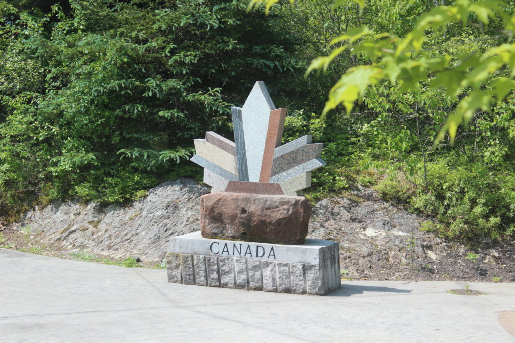
Driving through the neighborhood to get to the monument. 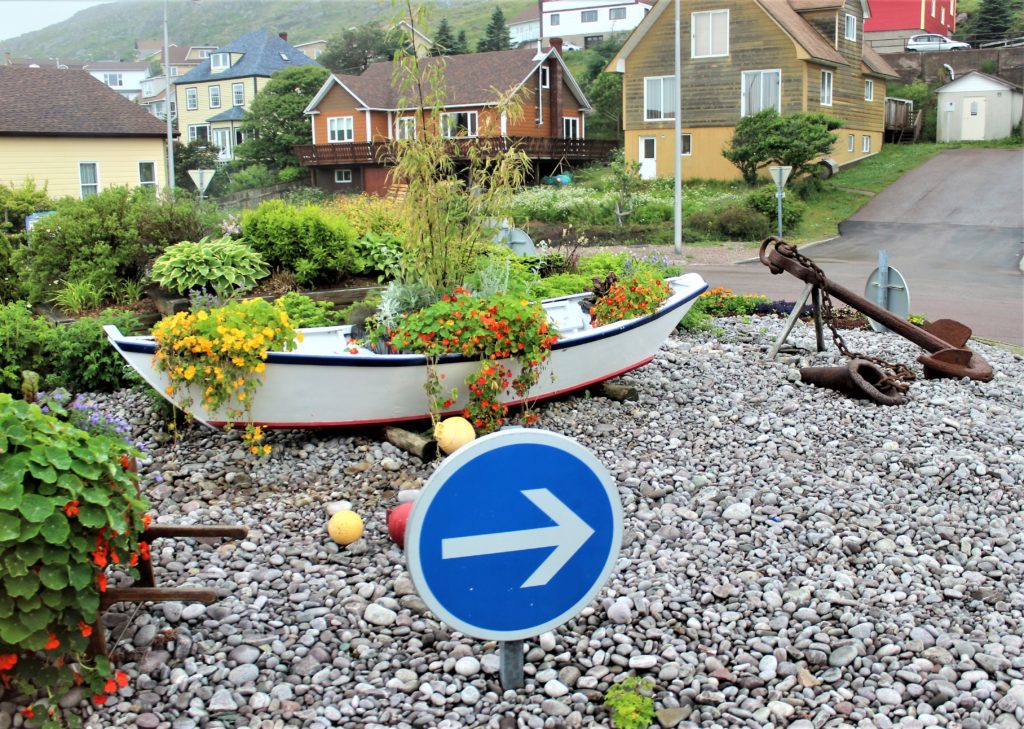
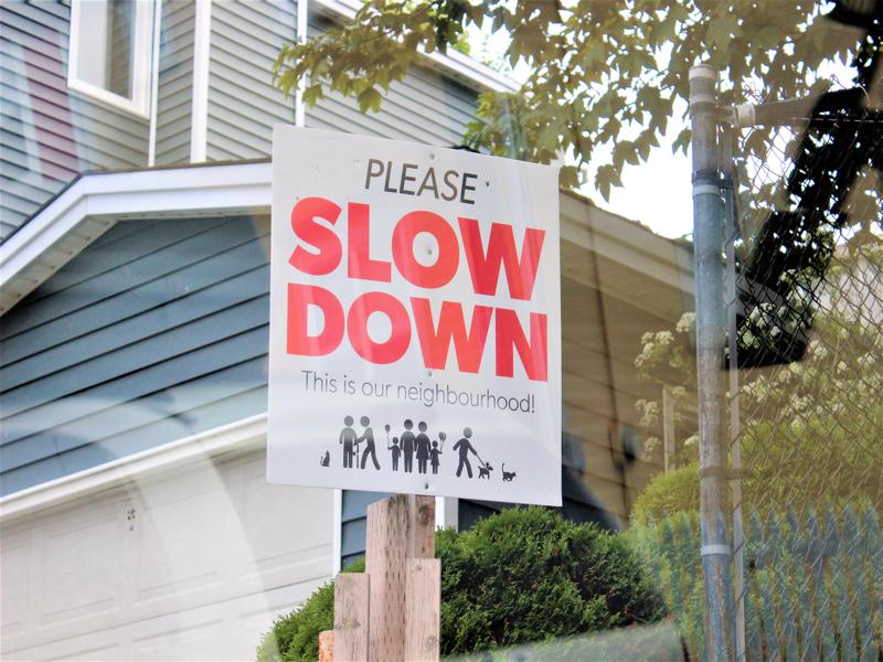
No words needed… 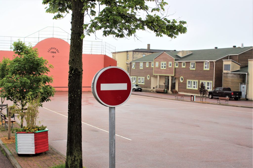
I hope! 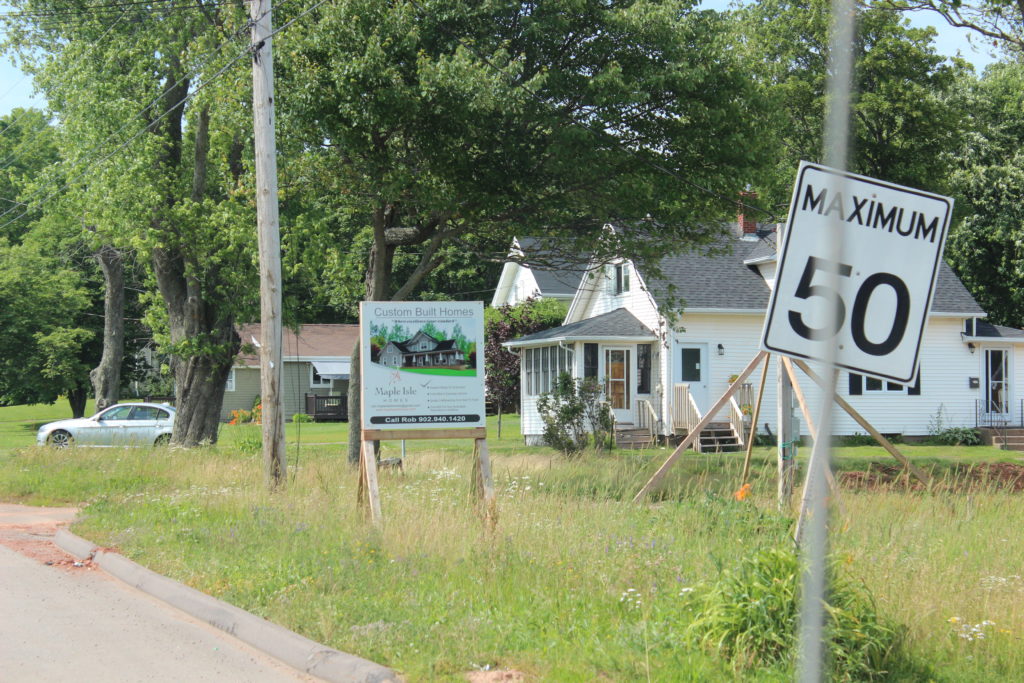
31.07 mph 
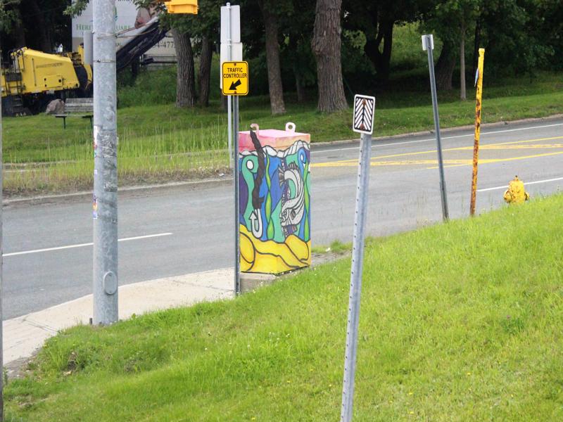
I’m glad they labeled this one! It looks like someone yelling. 🙂 
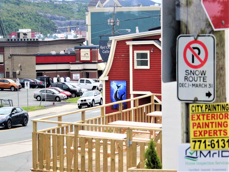
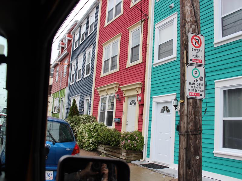
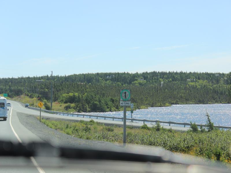
Road Open Every day EXCEPT Saturdays and Sundays 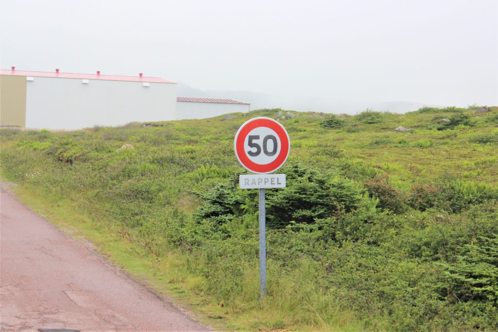
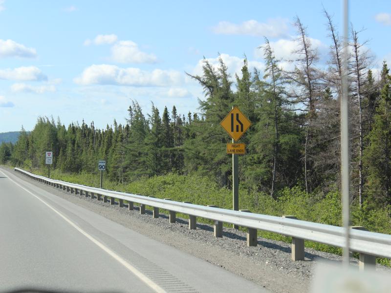
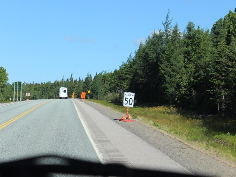
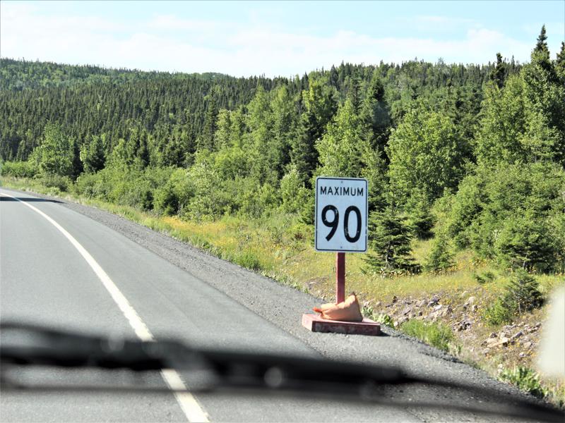
Rappel means you should already be at this speed limit.
Or think of it as REMEMBER
50 km = 31.07 mph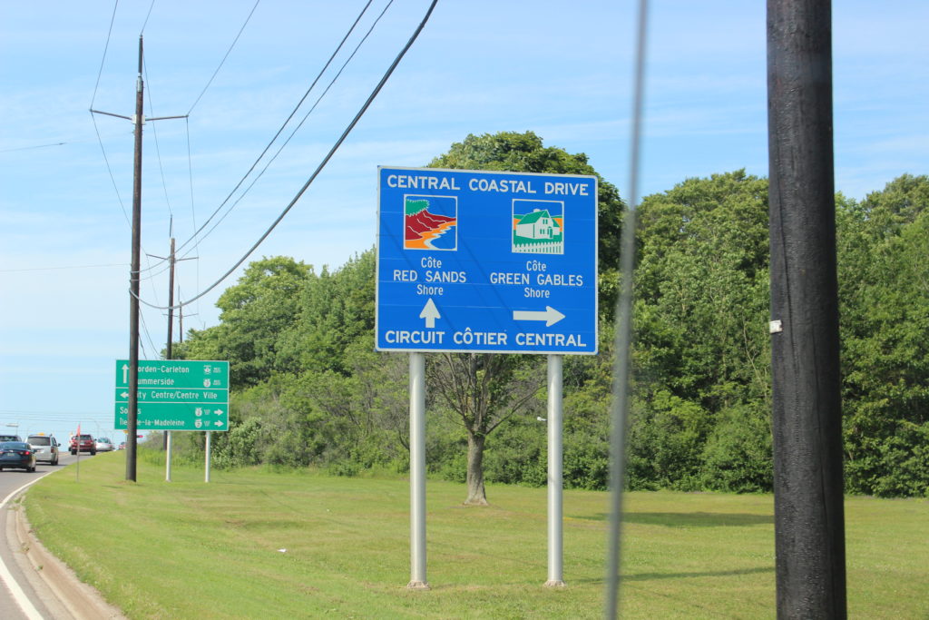
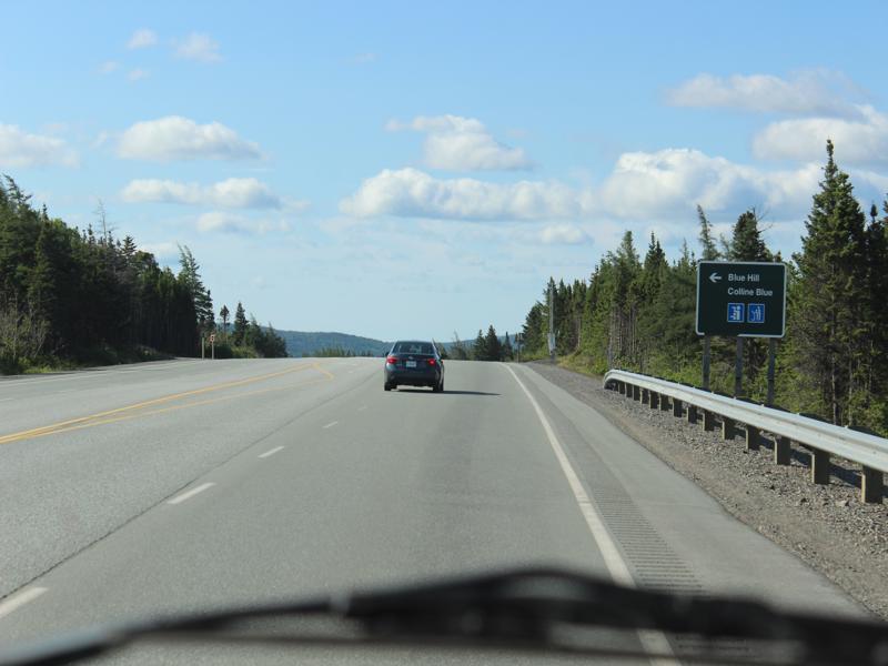
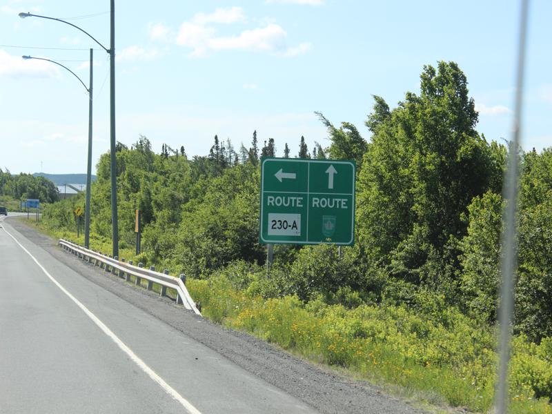
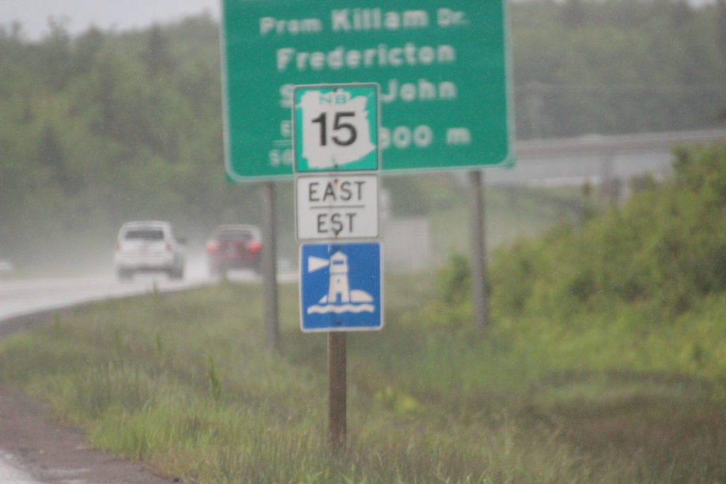
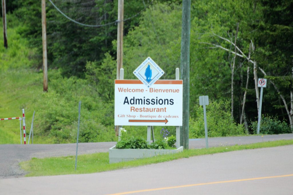
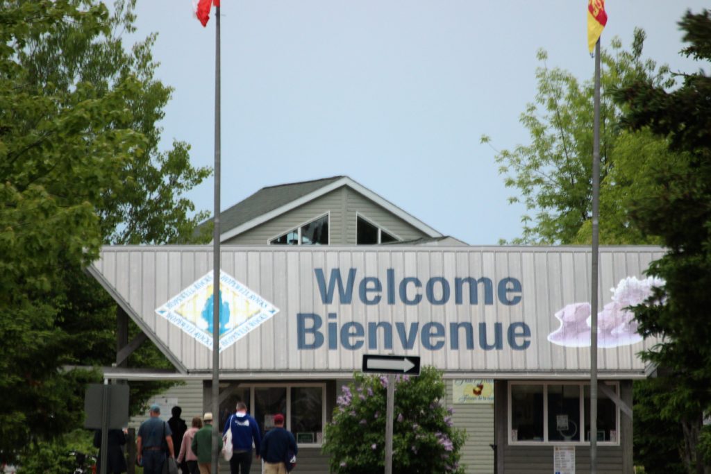
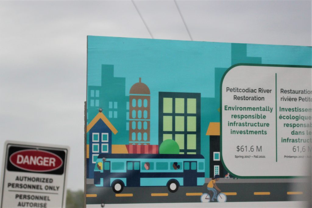
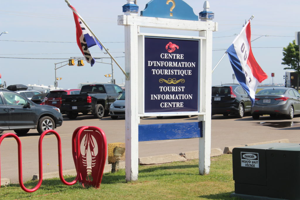
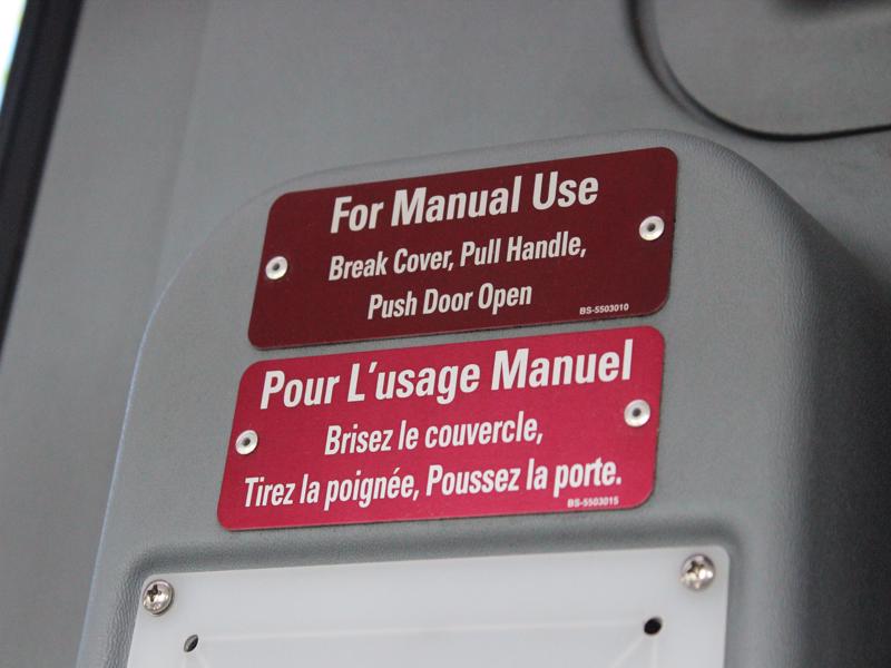
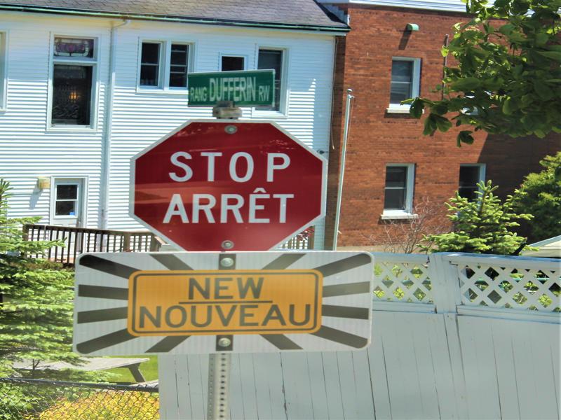
I like it when they use French and English on a sign. 


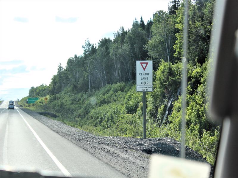
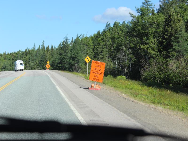
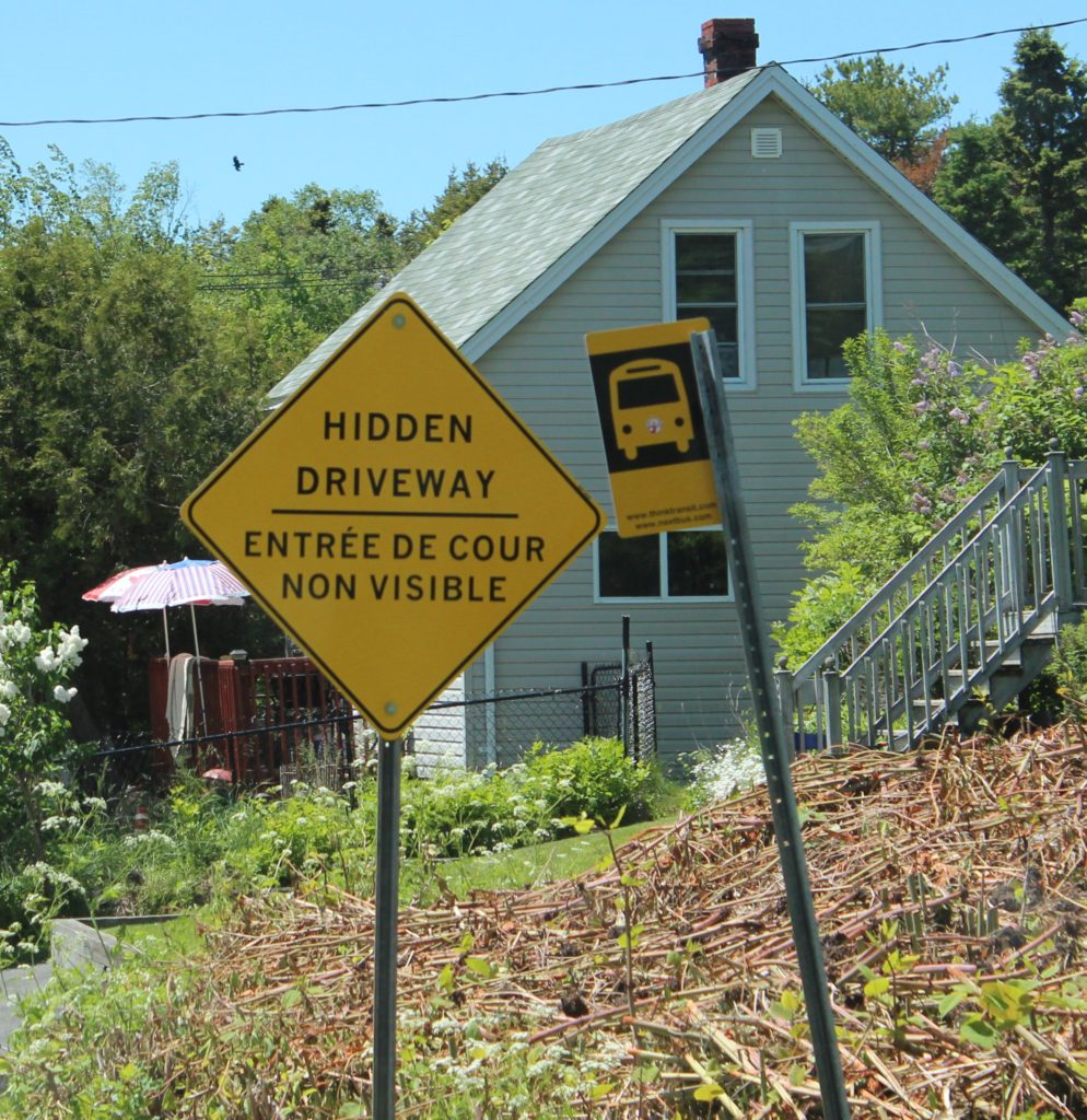
The sign in the background is the same as the one in the foreground except it is in French! 
In Cavendish you can tent camp and swim. 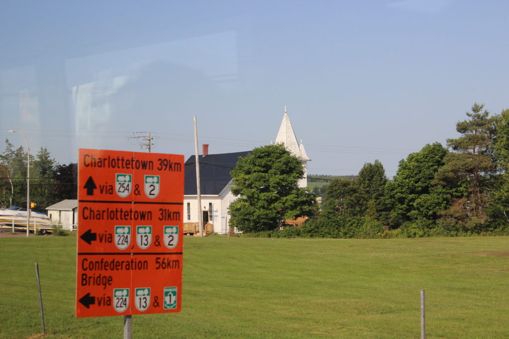

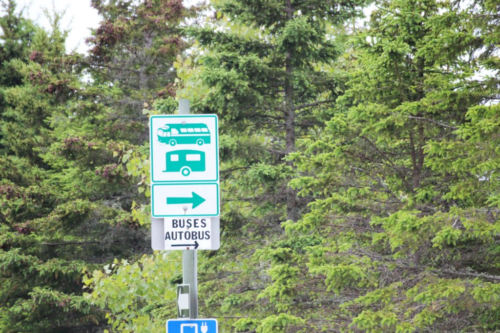
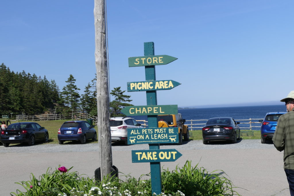
Their arrow signs are too cute! I love the checkers. 
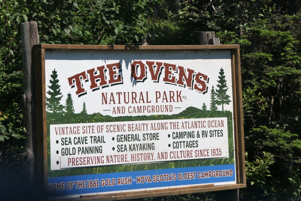
This sign was at “The Ovens.” This whole place was hinky! 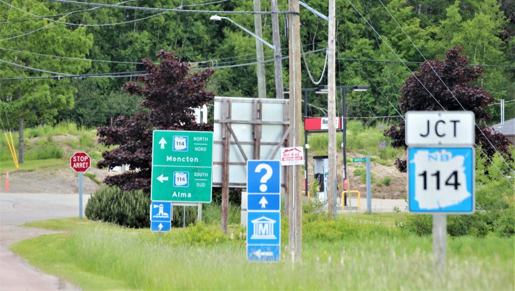
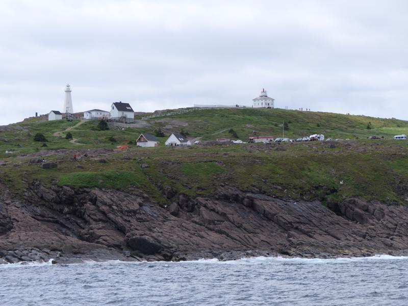
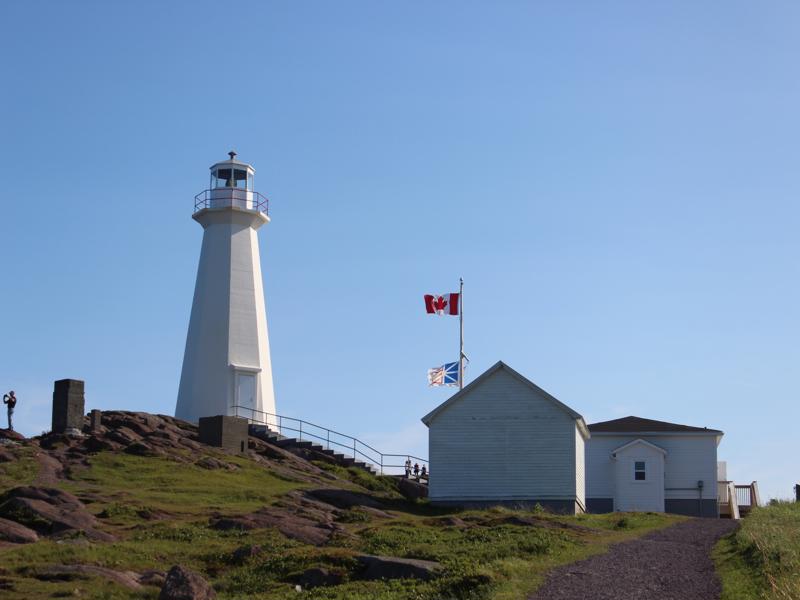
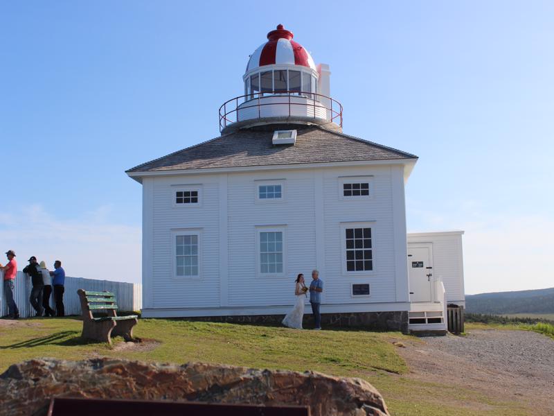
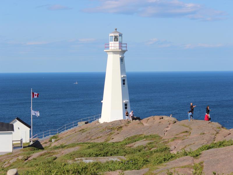
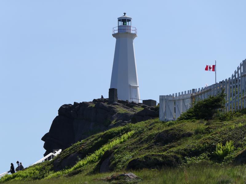
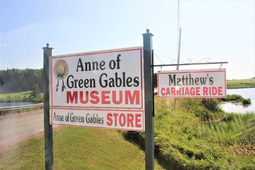
Lighthouse and Museum straight ahead.
The “?” means Information Center ahead.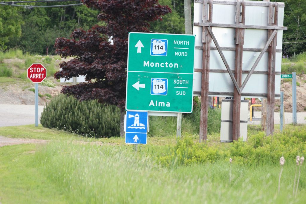
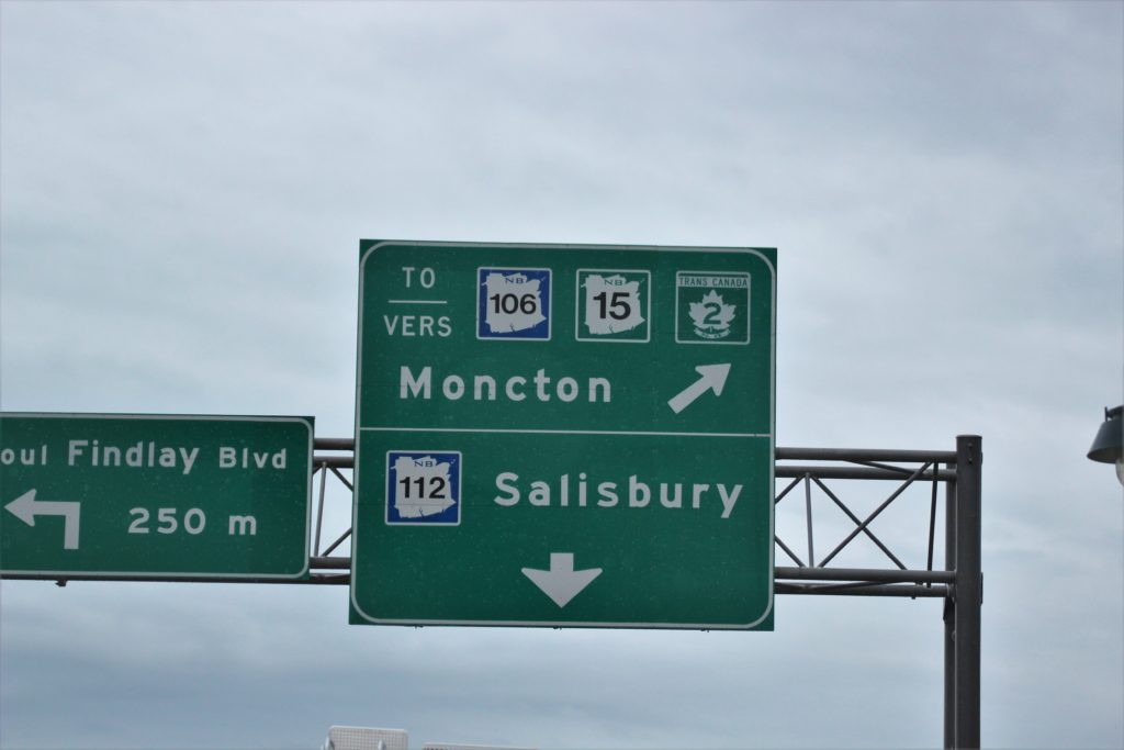
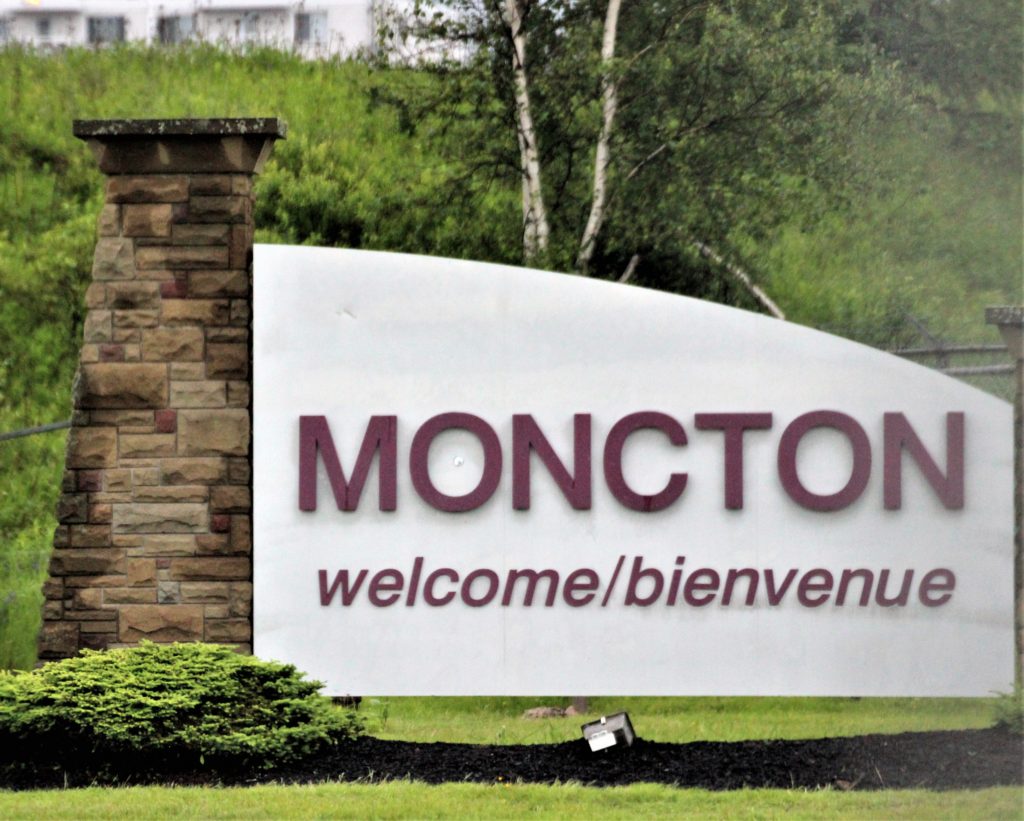
We went to both Moncton AND Alma.
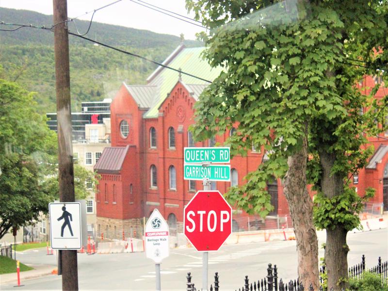
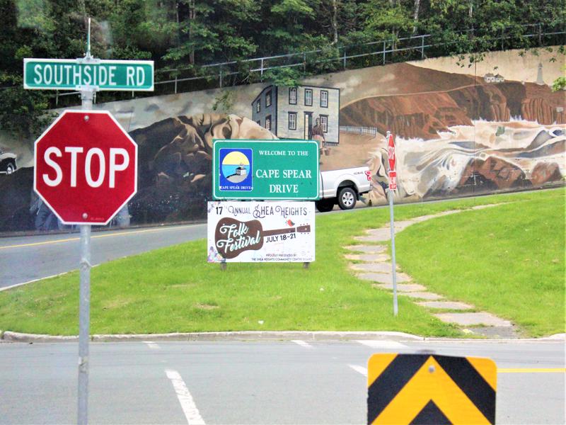
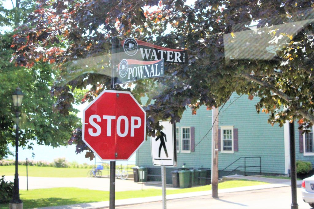
Look at the STOP sign!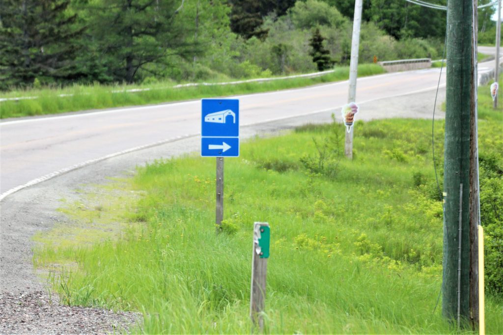
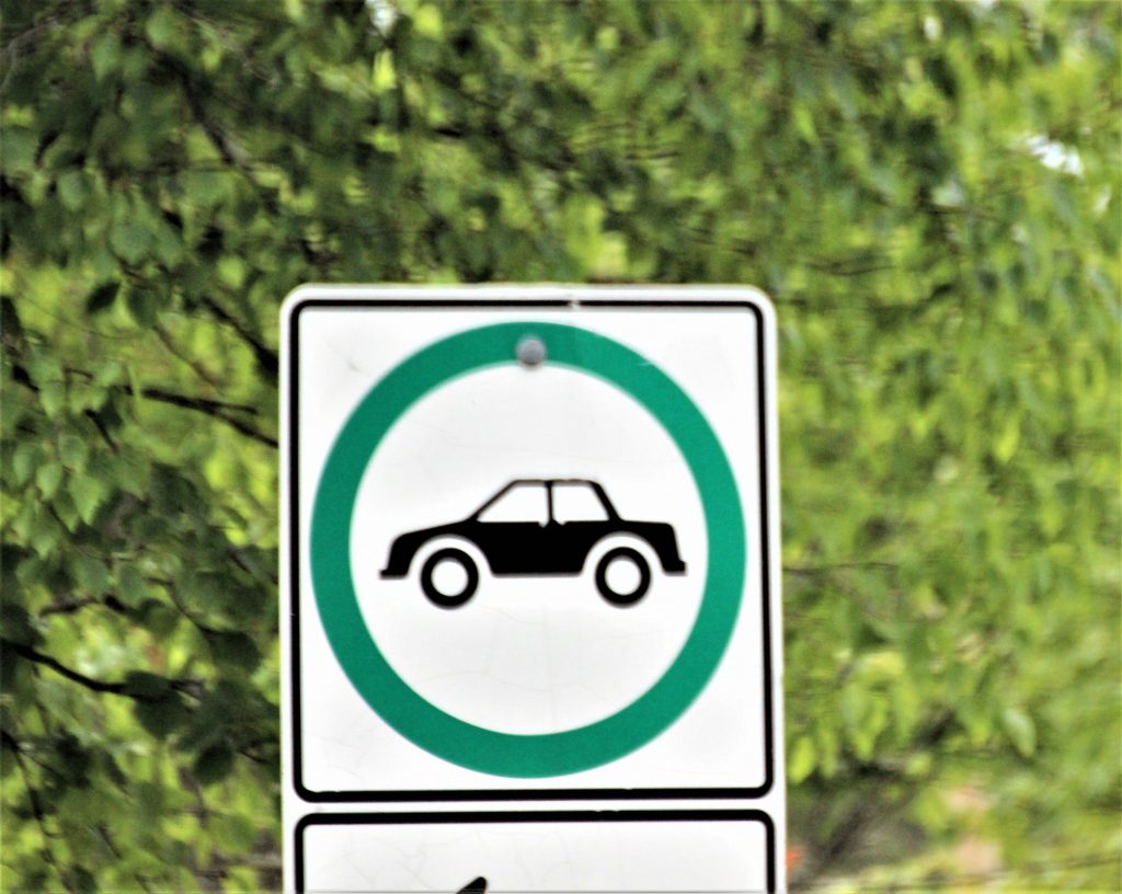
Can you guess what this means? It’s a pretty easy one. 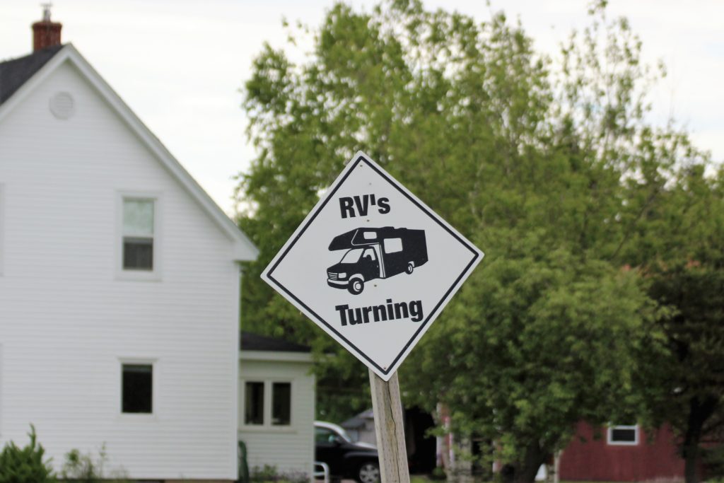
Sign just outside The Arm of Gold Campground. 

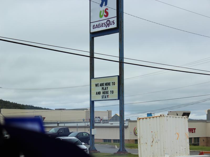
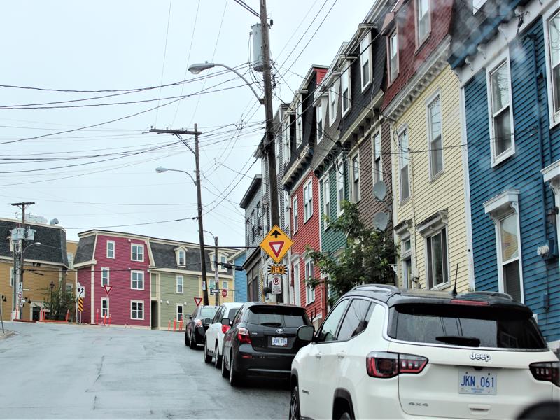
So is this just a “new” sign and they are showing it off OR is this sign “NEW,” meaning one hasn’t been there before and now there is one? Pay attention folks! 
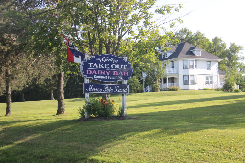
This sign makes me hungry! 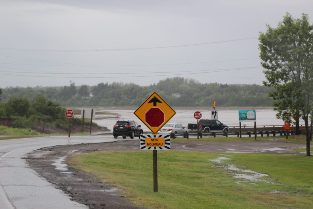
Another “NEW” sign! It’s so pretty! 
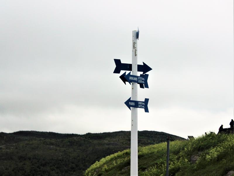
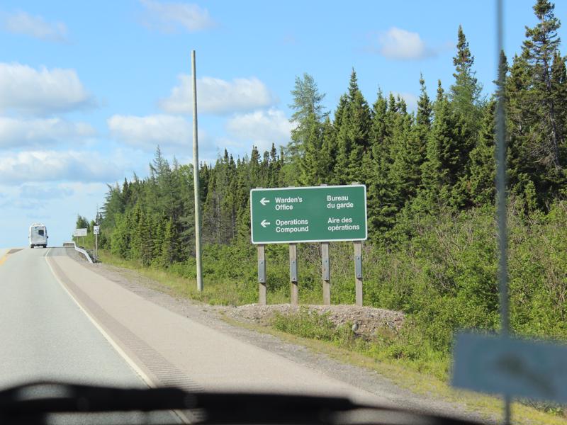
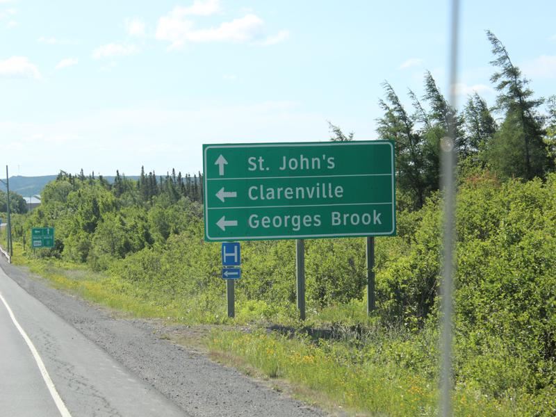
I know my directions in French after this trip! 🙂
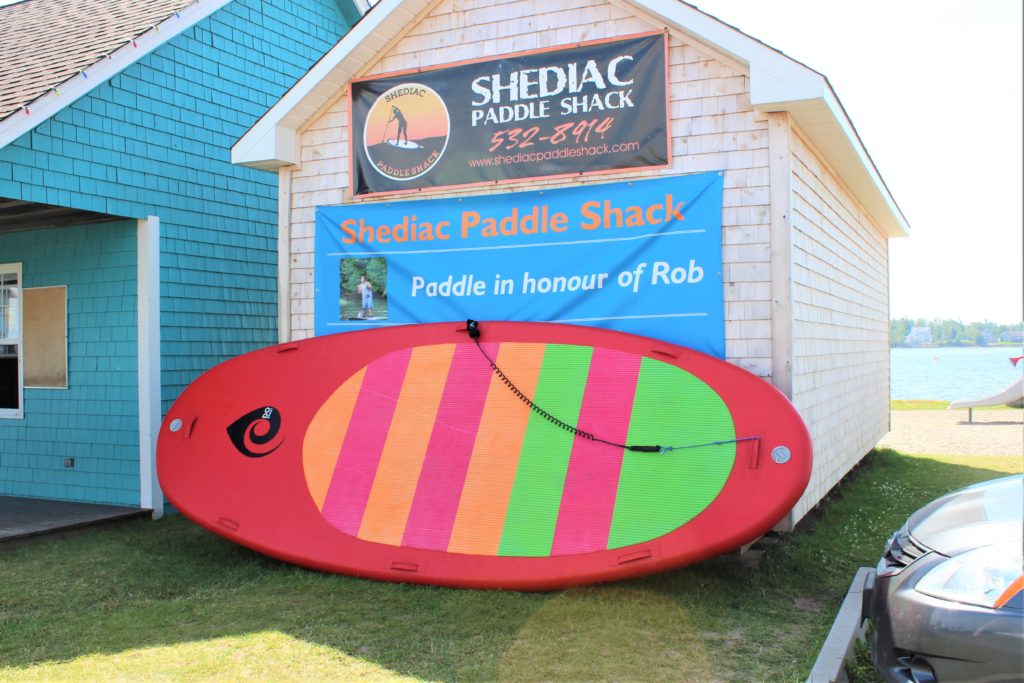
Say Shediac a few times – it makes your mouth happy!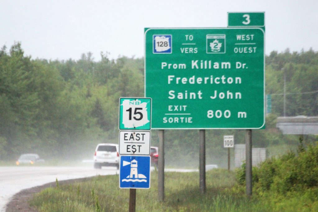
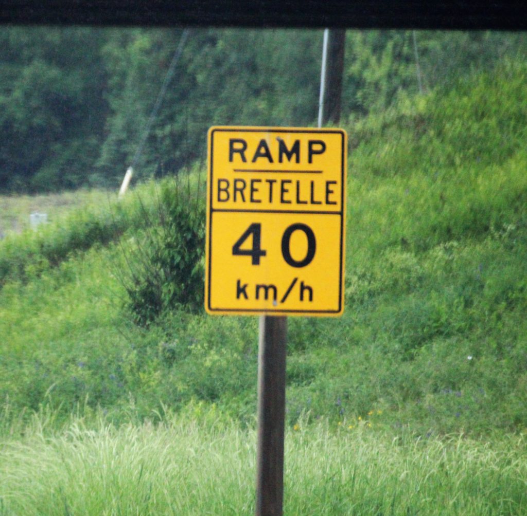
40 km = 24.8 mph 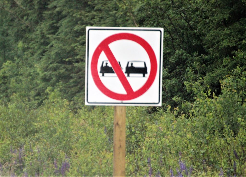
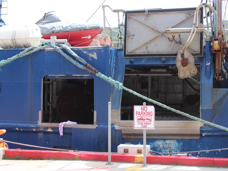
They actually have a sign for the police officers. No side-by-side visiting! 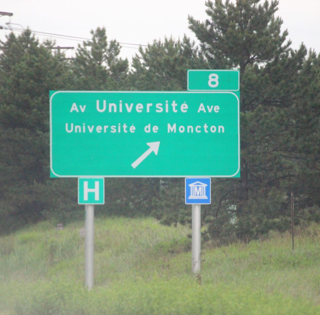

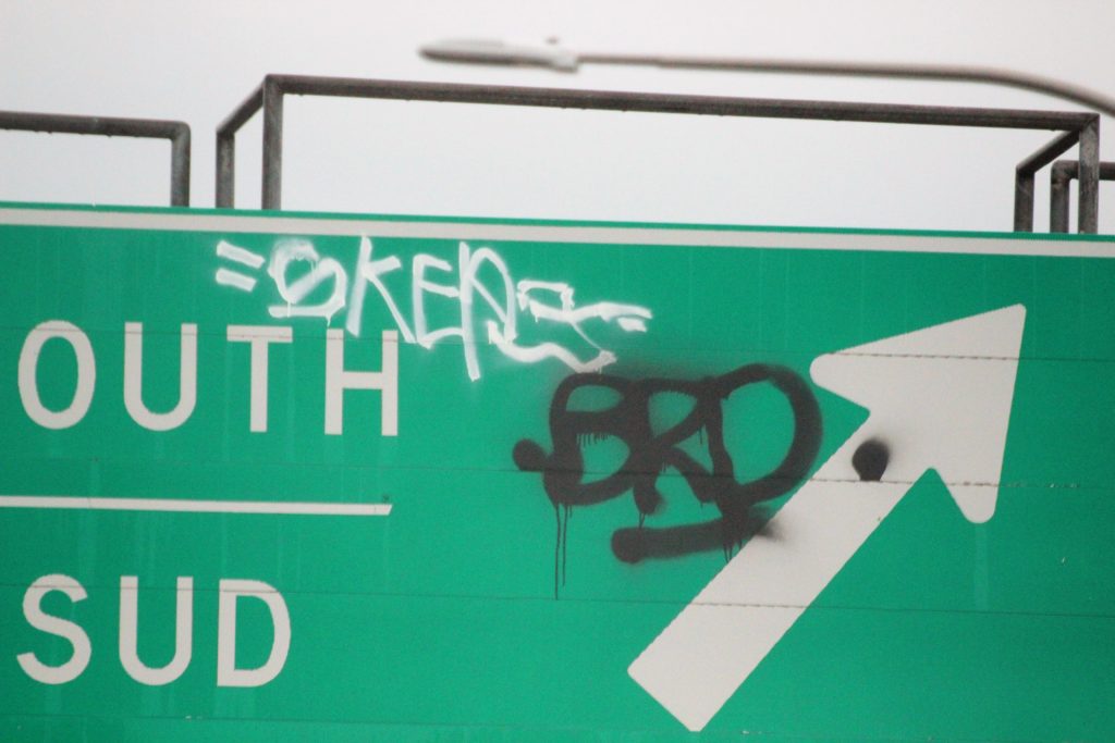
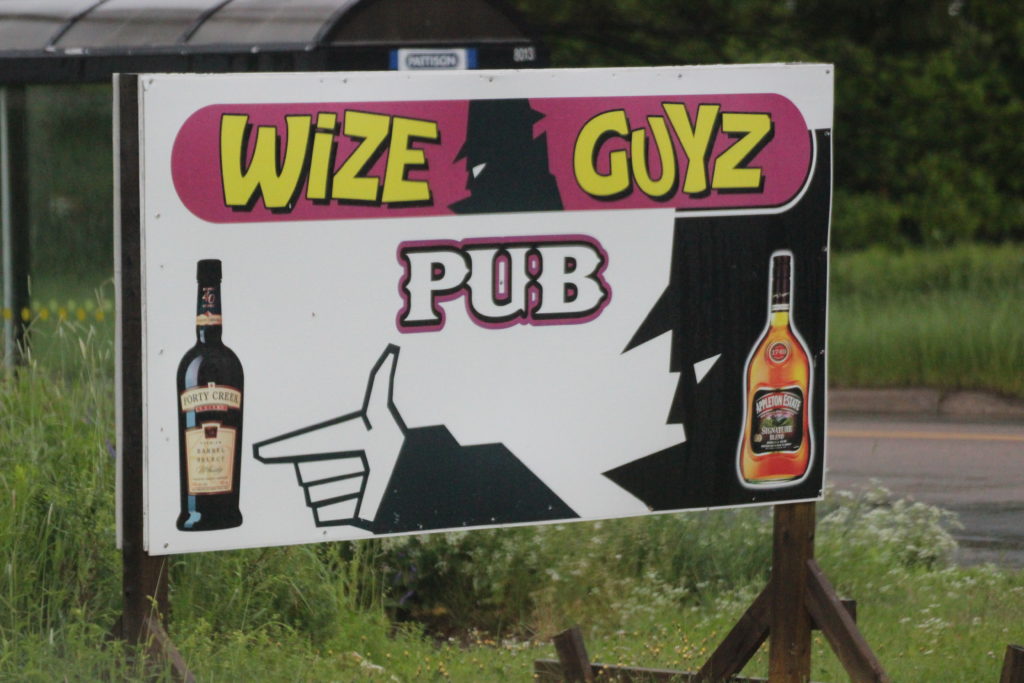
Hey Bro! 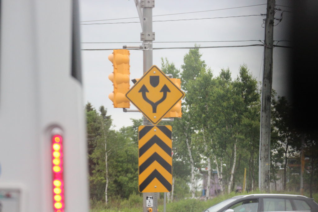
Fancy 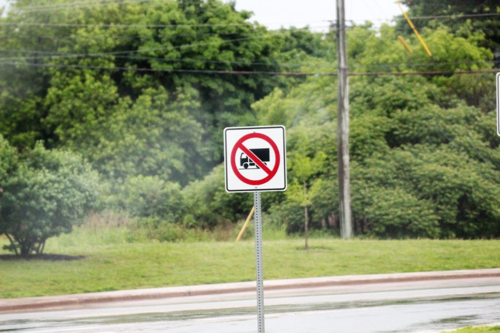
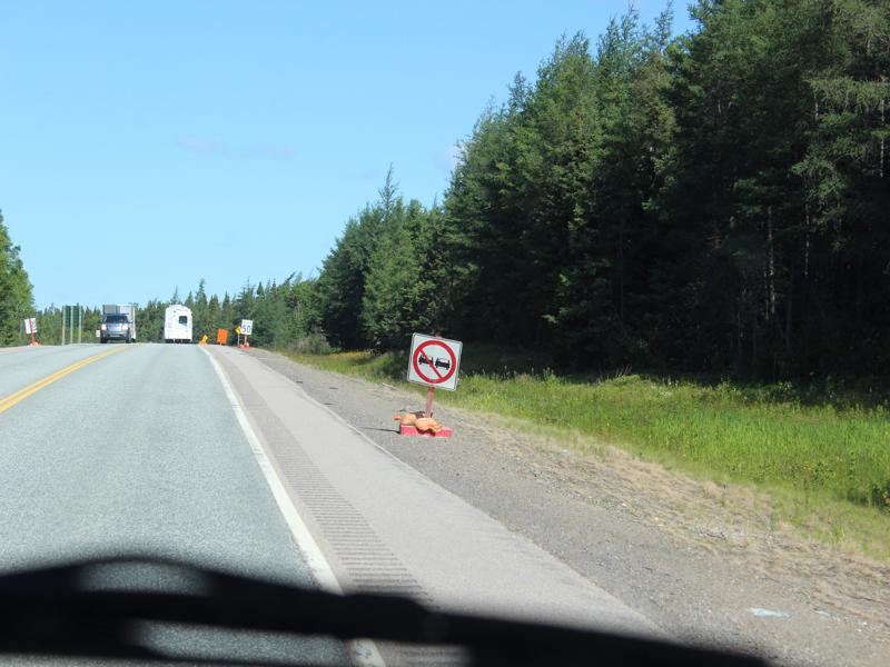
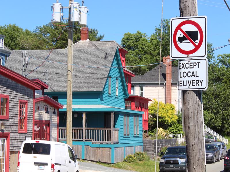
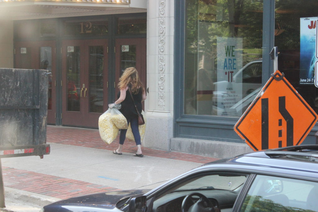
No cute chubby delivery trucks. 18 wheelers-no problem! 
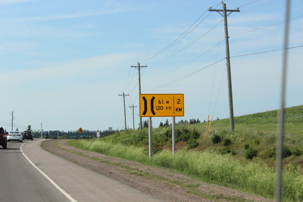
This is an eye test. the sign is tiny! 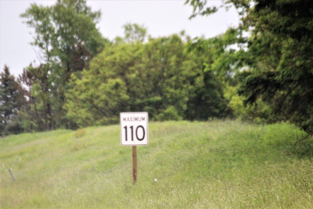
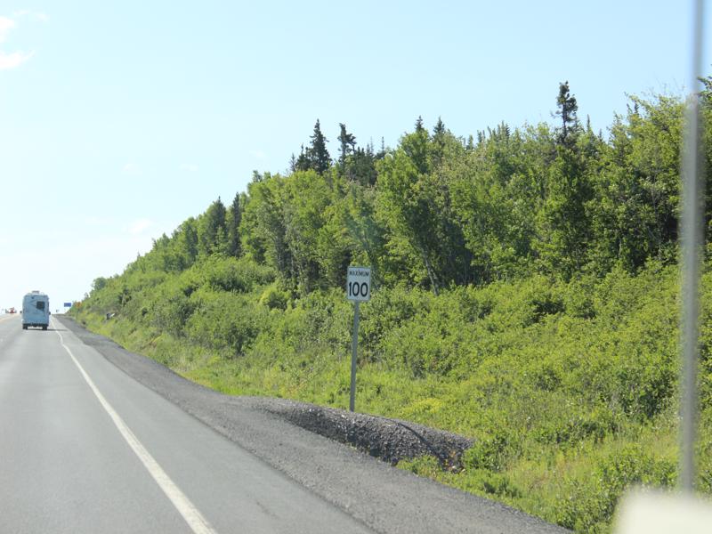
110 km = 68.3 
I know you can figure out what these mean! YOU ARE SMART1 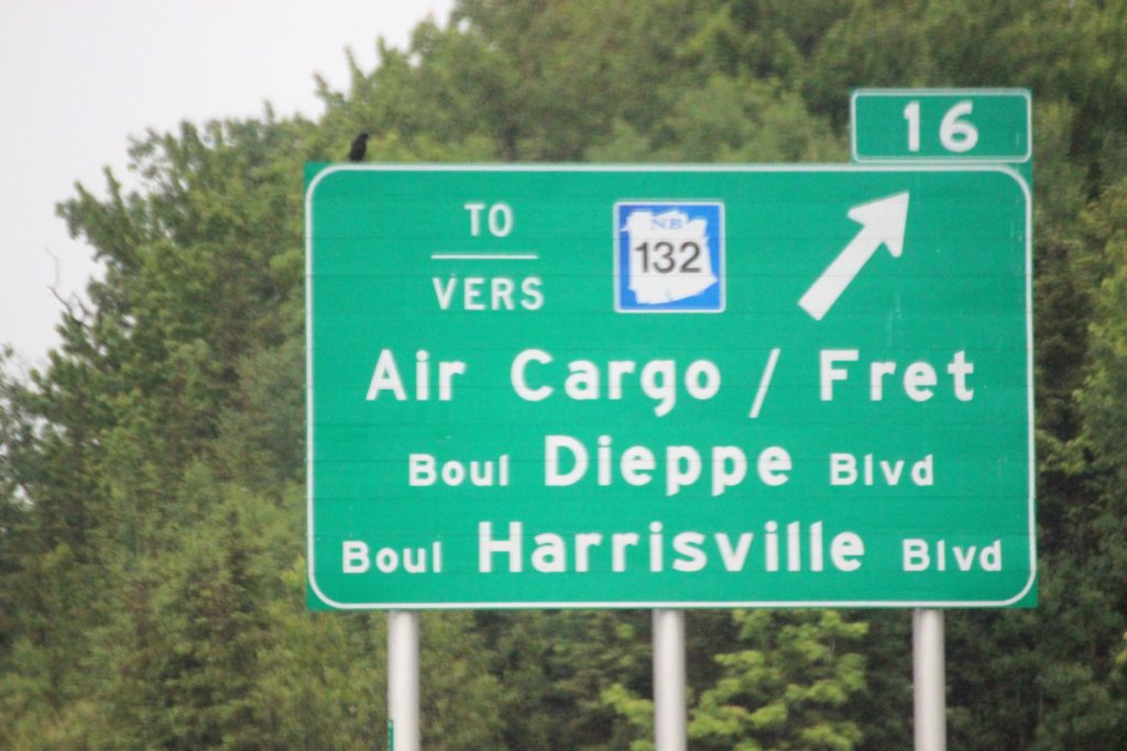

P.E.I.=Prince Edward Island Name after the 4th son of King George the III
and he is the father of Queen Victoria.
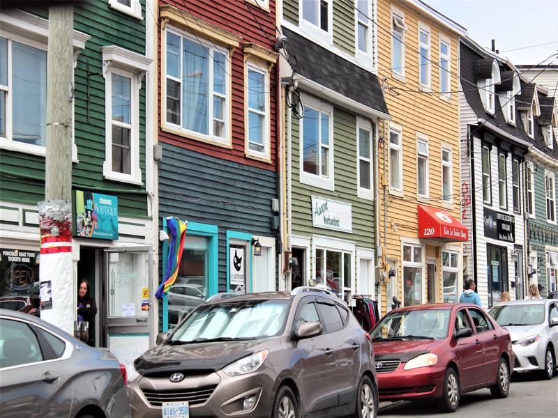
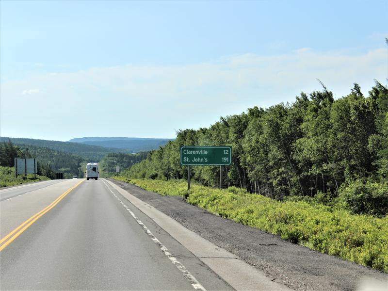
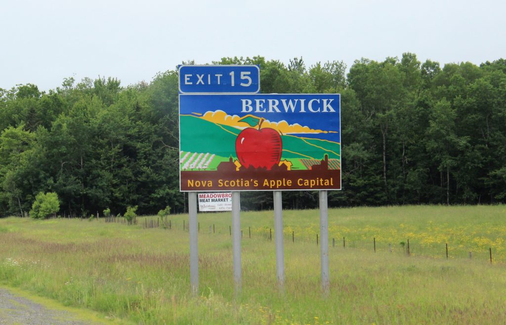
I love the town names! 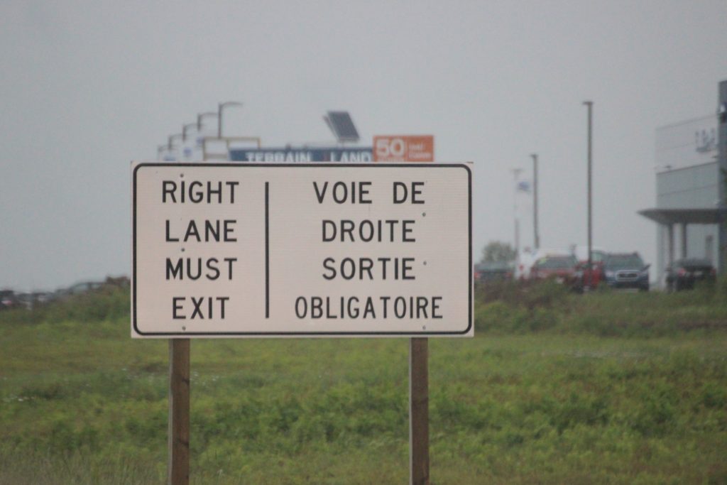

Cost us $65.00 to get off the island. It’s free to get on P.E.I. You pay to get off. 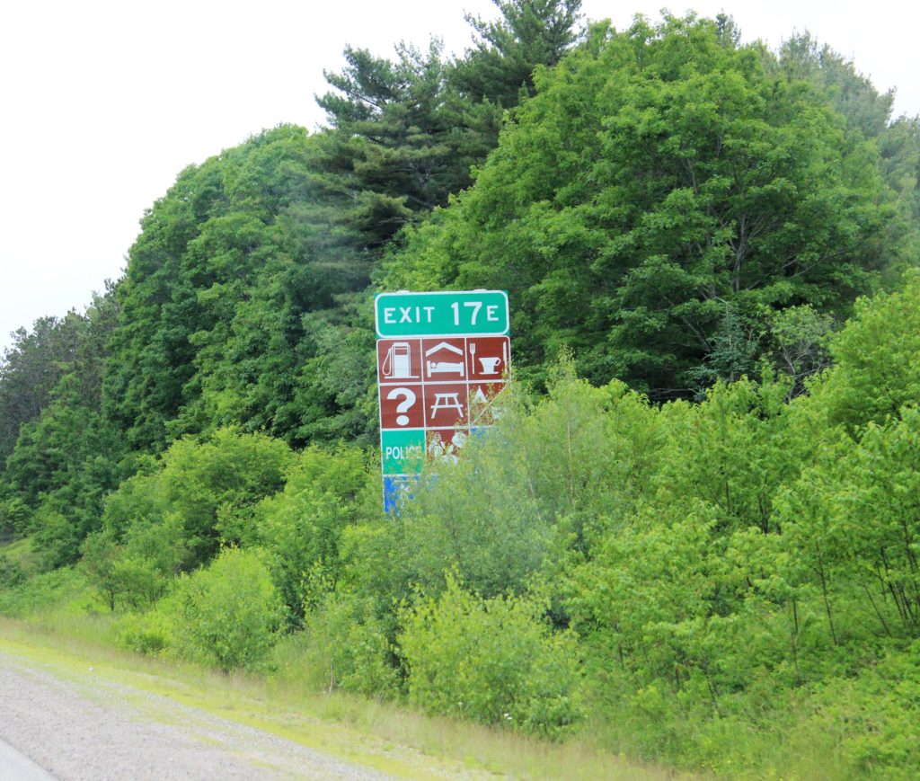
Take your sign test! 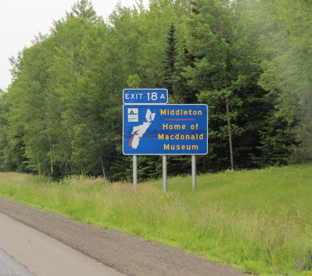
Middleton, NS Known for their clock collection. 
First Capital in Nova Scotia. The land was fought over for 400 years. 

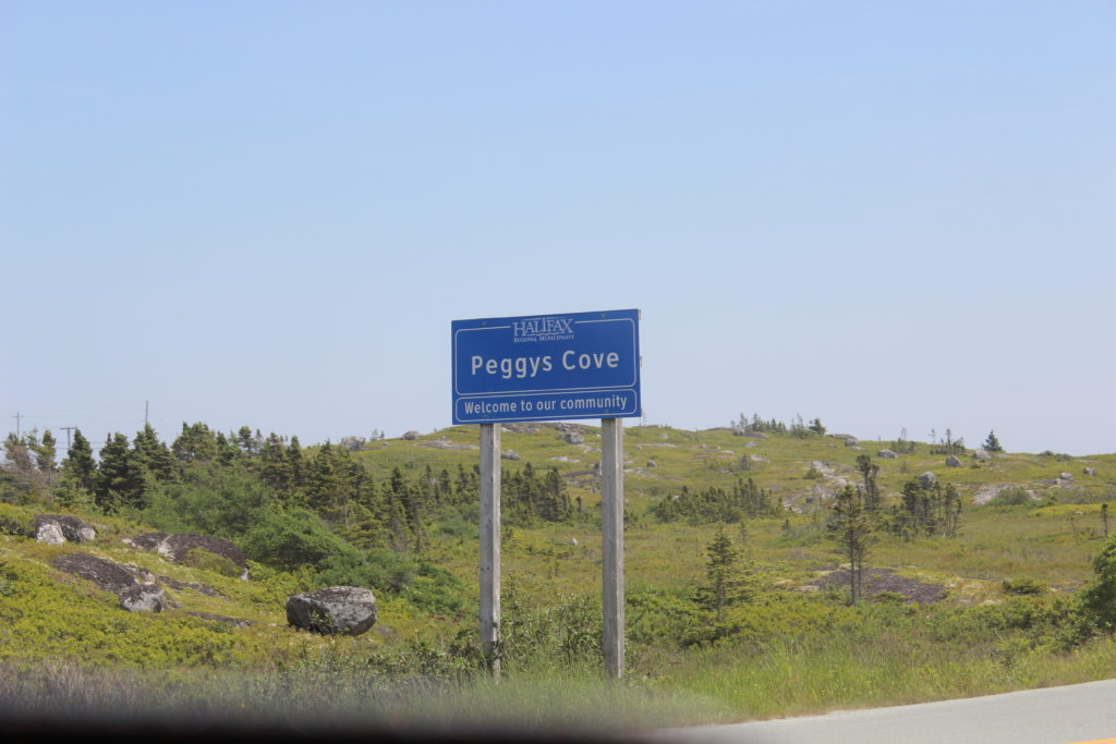
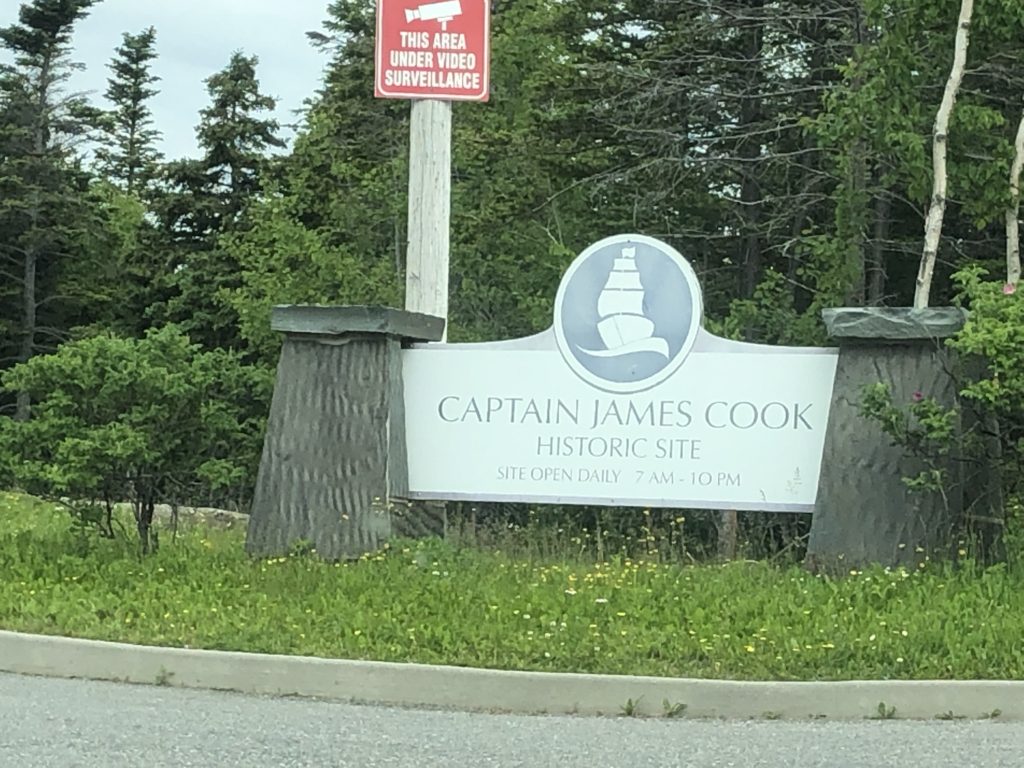
One of my favorite places we visited. 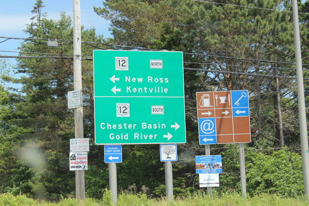
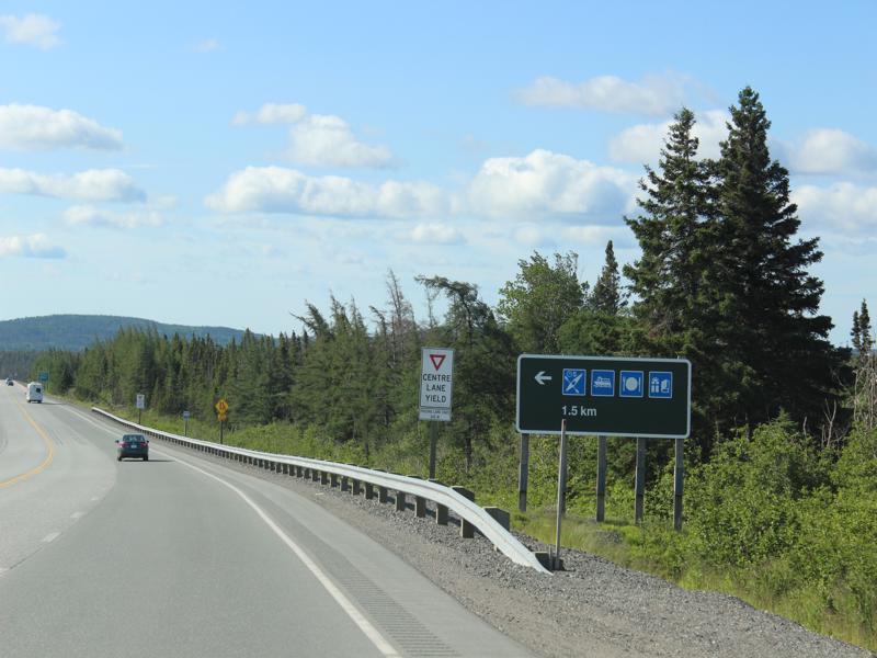
Gas pump= gas; Coffee cup and silverware = restaurant; Key = ?;
@ = Free WIFI (yep, how they got that I don’t know)
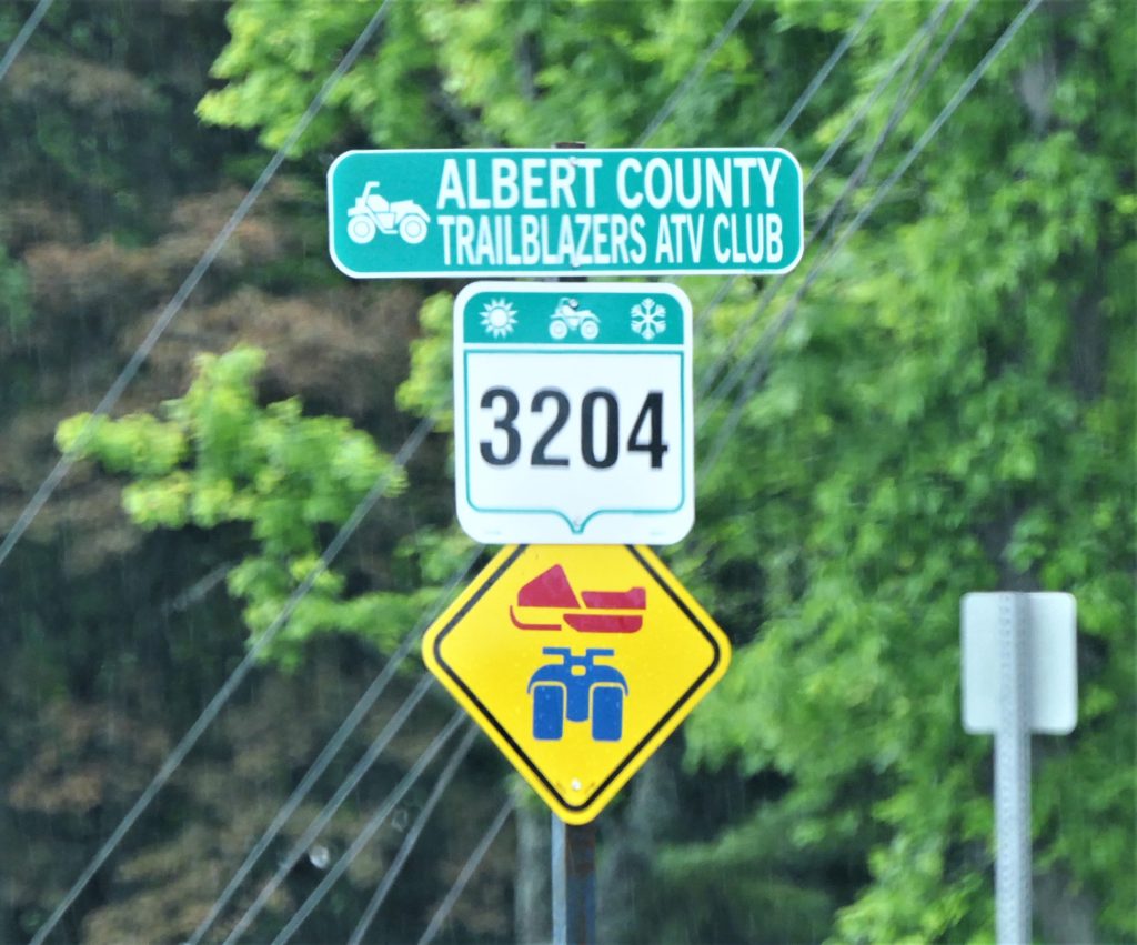
ATV’ in the sun or rain! 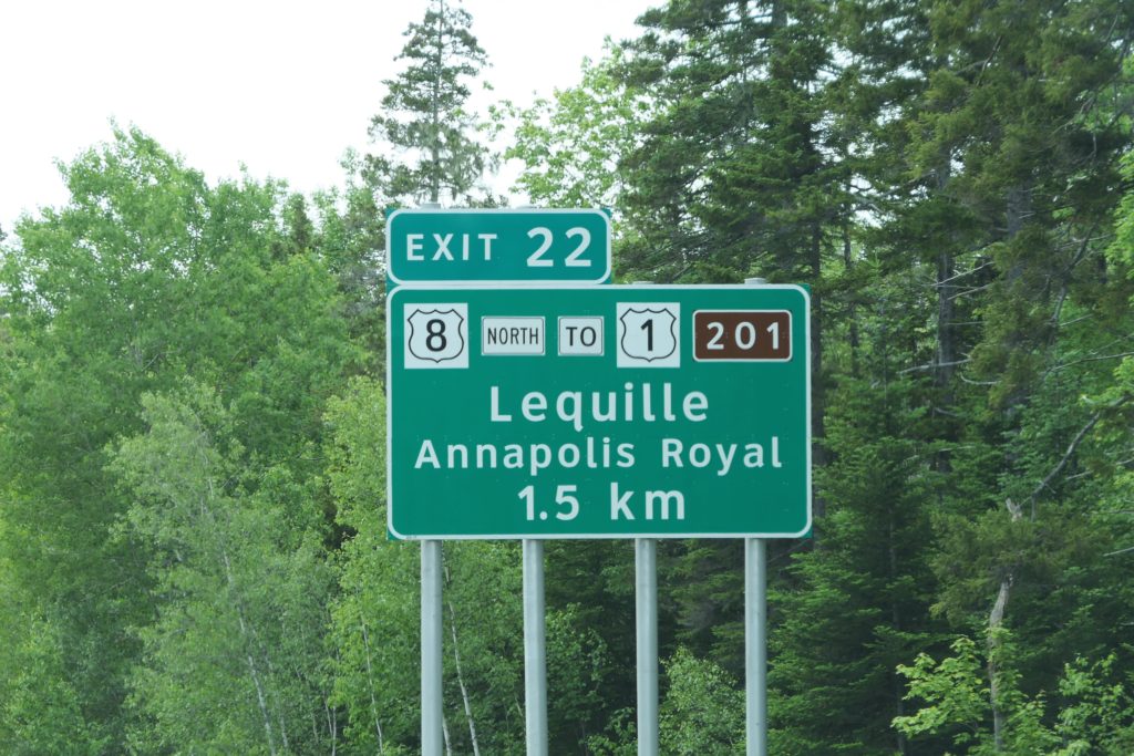
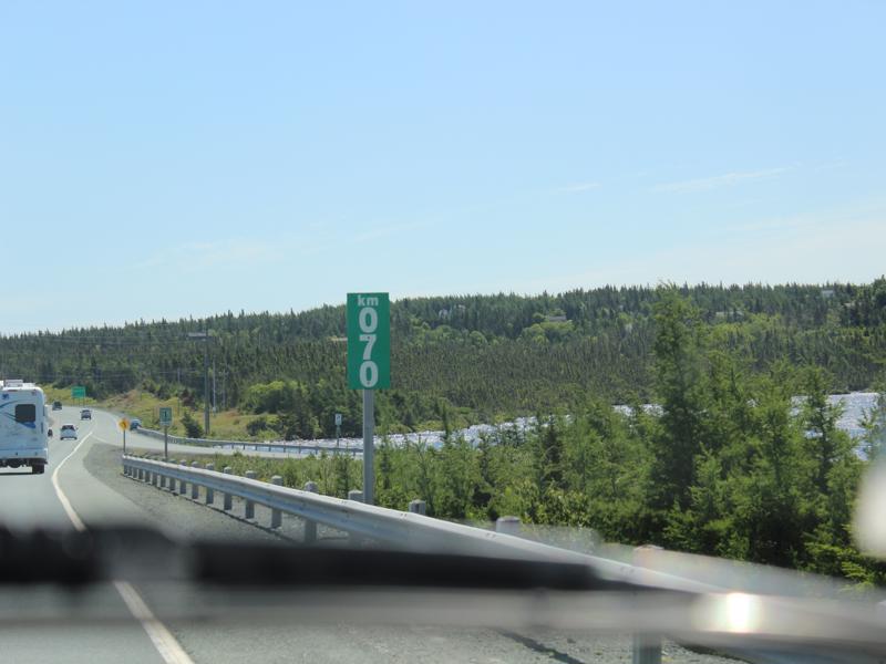
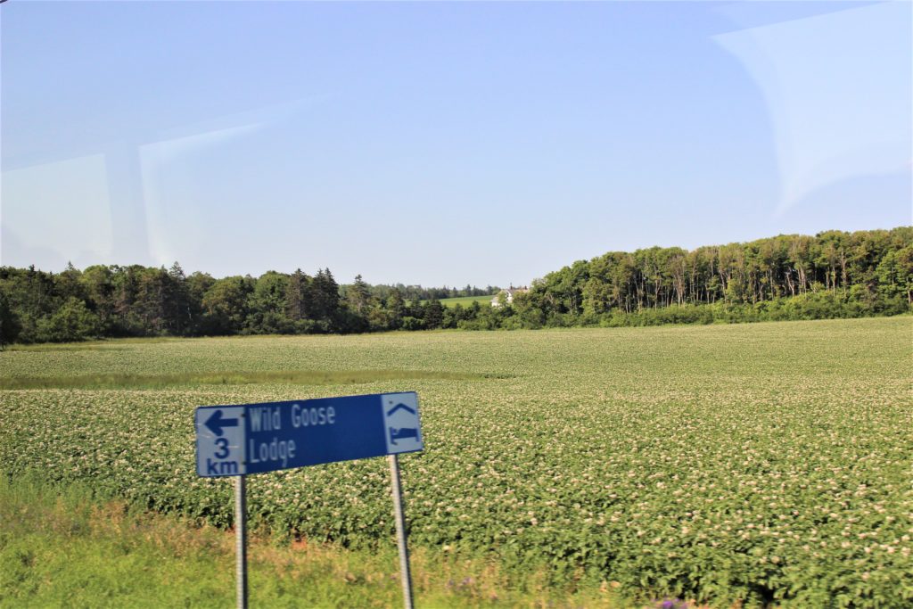
1.5 km = .93 miles 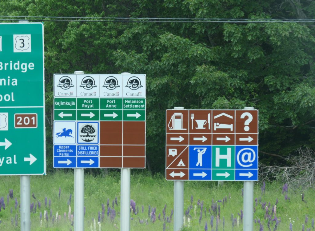
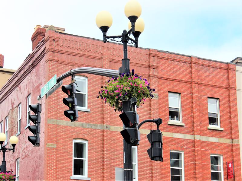
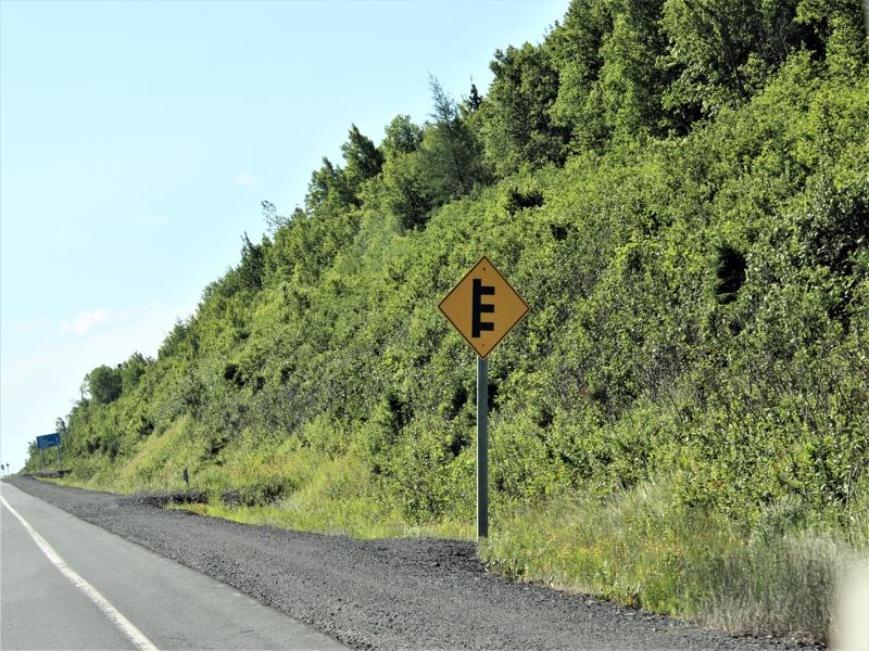
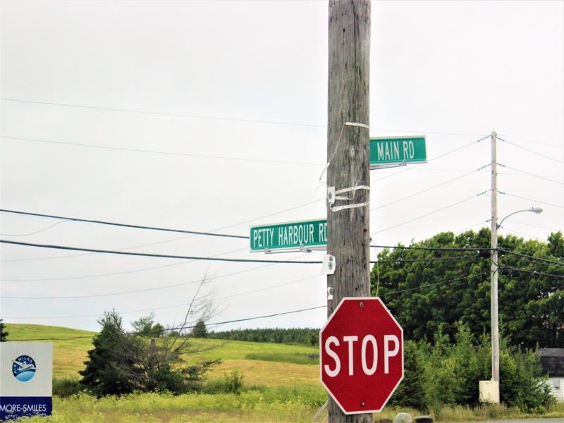
Busy intersection! I hope you can speed read! 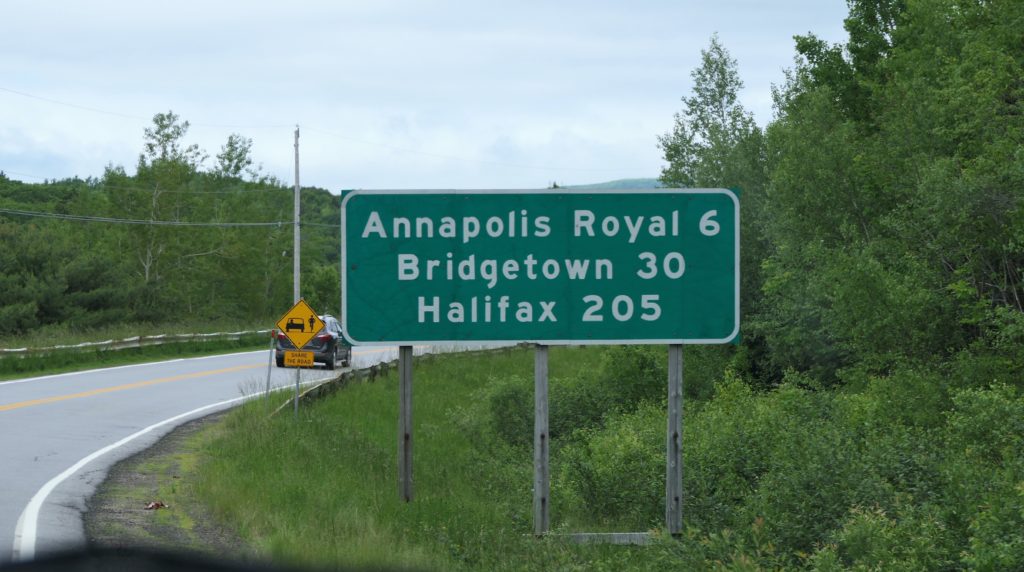
6 km = 3.7 miles
30 km = 18.6 miles
205 km = 126.7 miles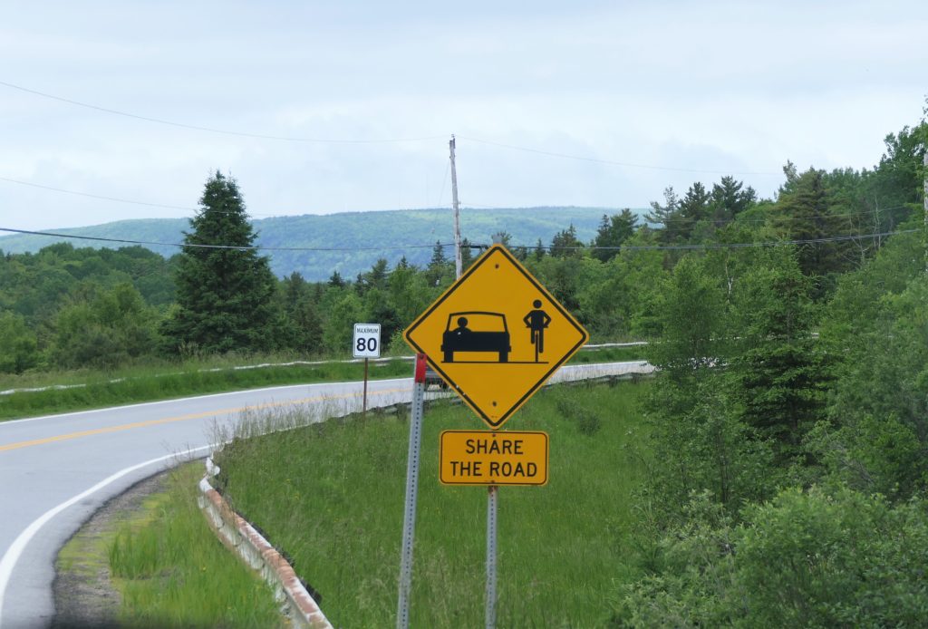
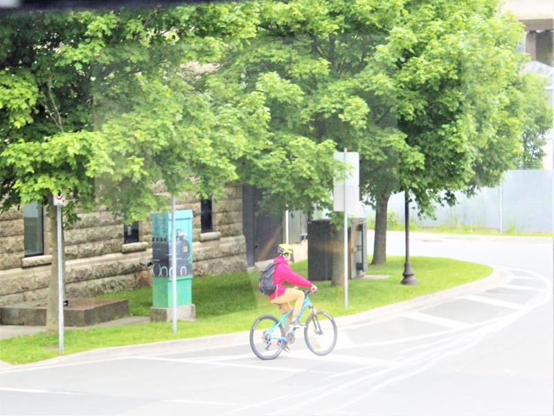
Yea, bikes, share the road! 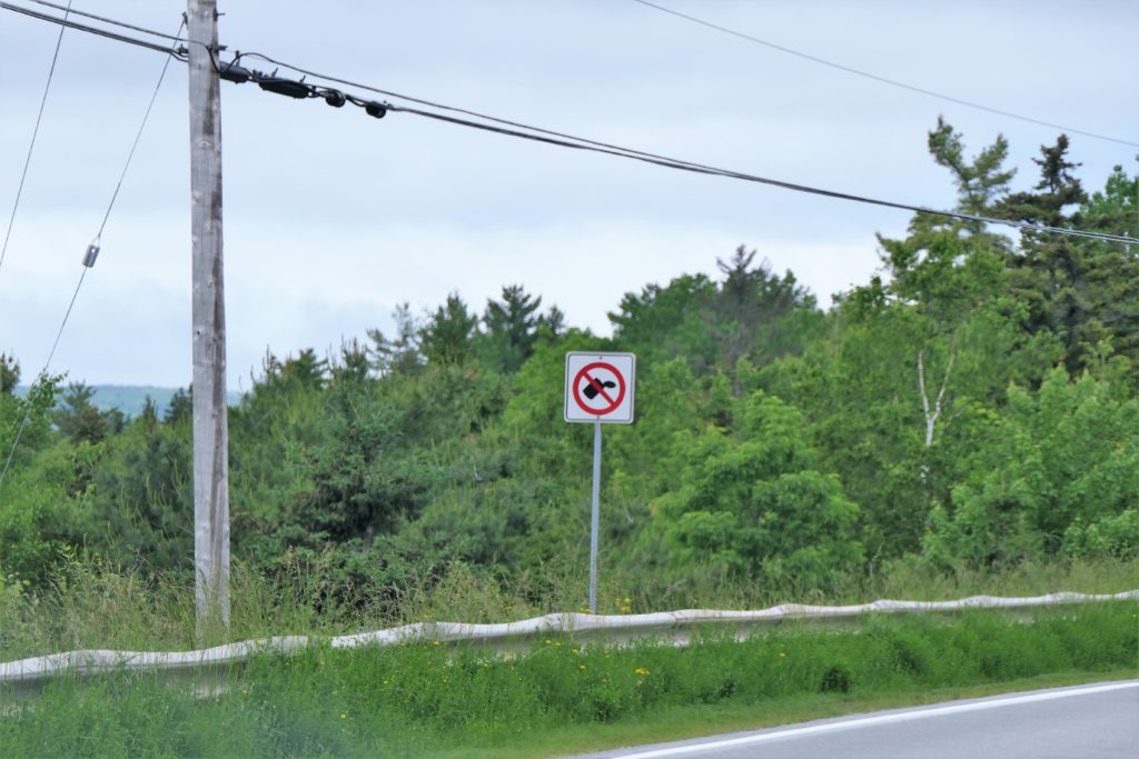
Looks like no hitchhiking – it’s really don’t throw trash.
All the provinces have been extremely clean!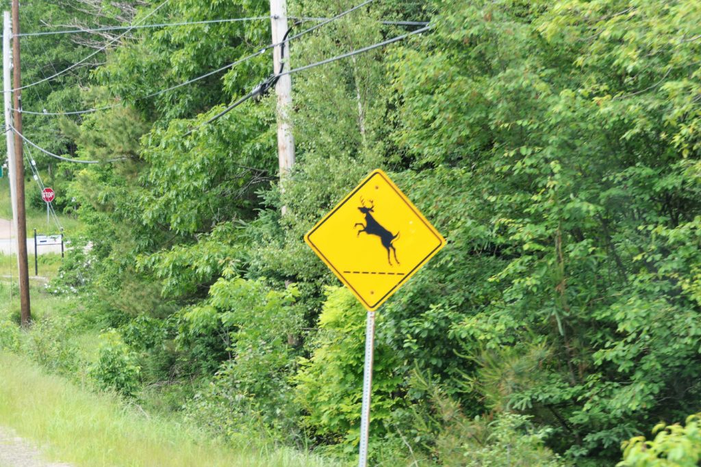
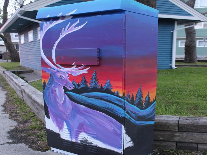
It’s a caribou frolicking! 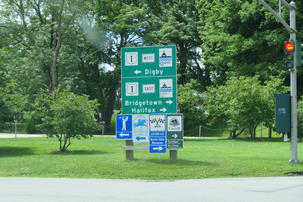
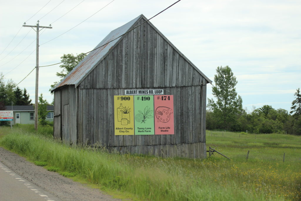
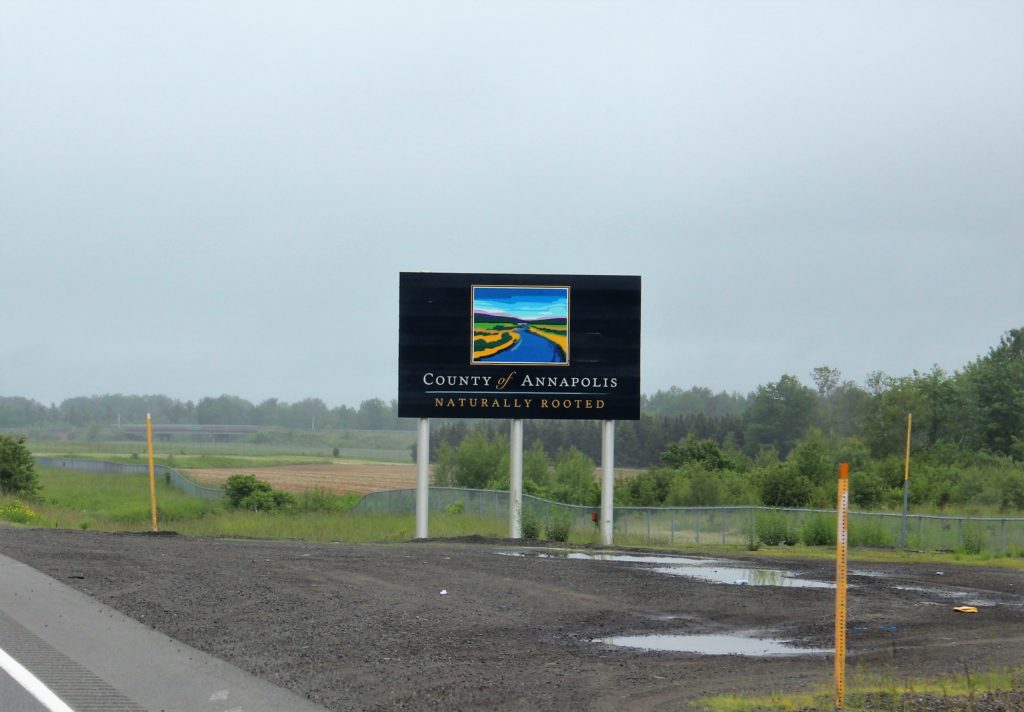
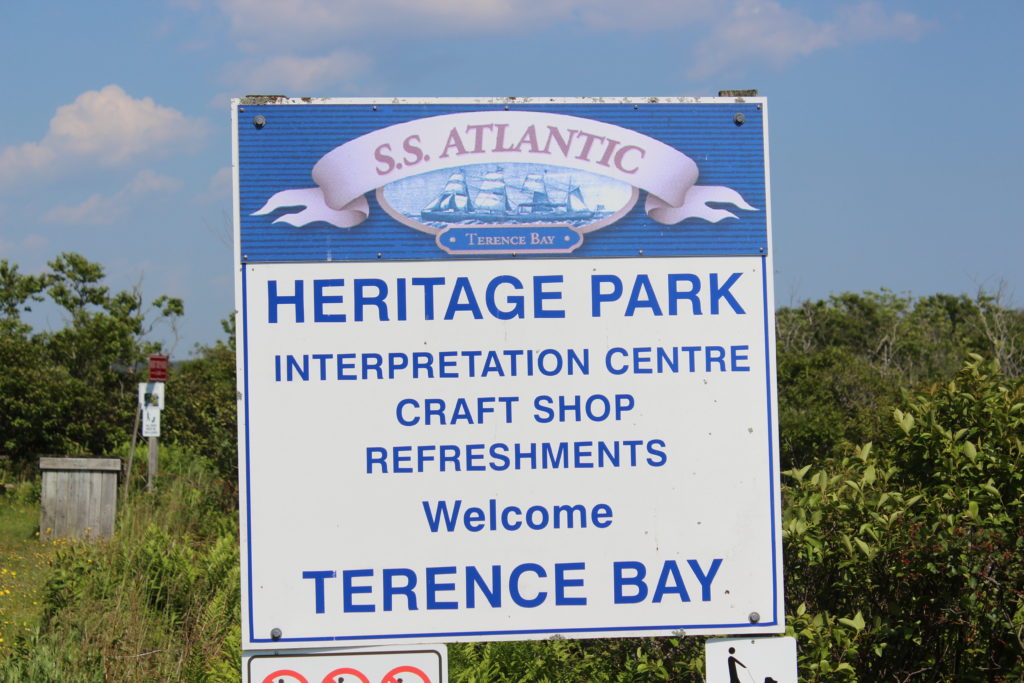
Since they don’t do advertising along the highway they do it all in one place! Read fast again! Lots of history. Evangeline Trail sign; Upper Clements Park; Action Jax ; Northern Hill Museum; Port Royal(we went there) 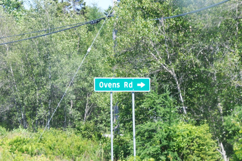
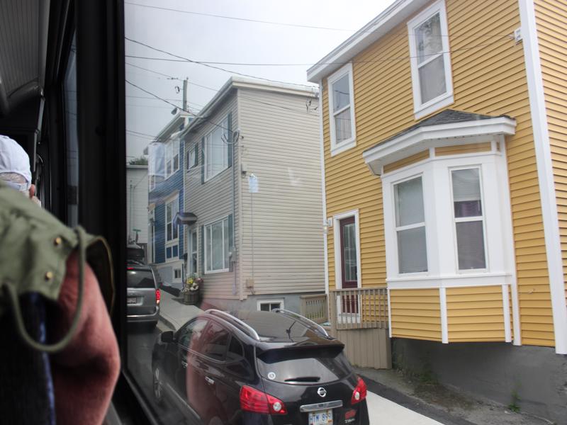
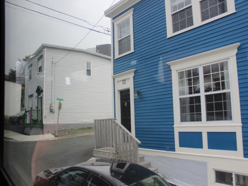
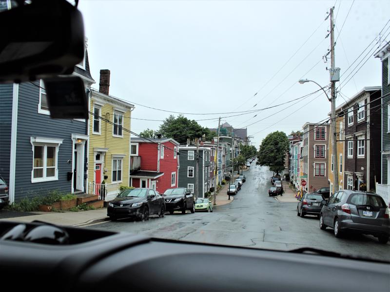
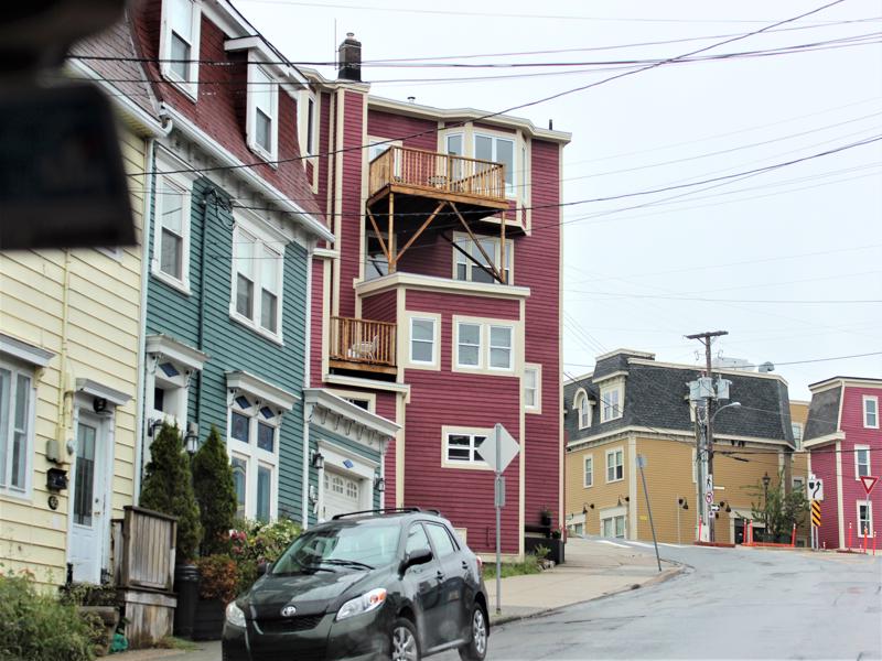
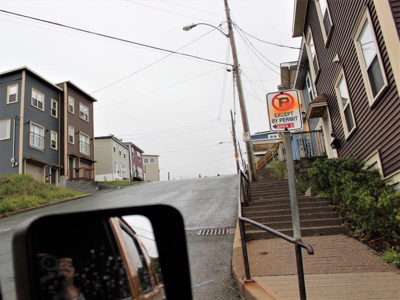
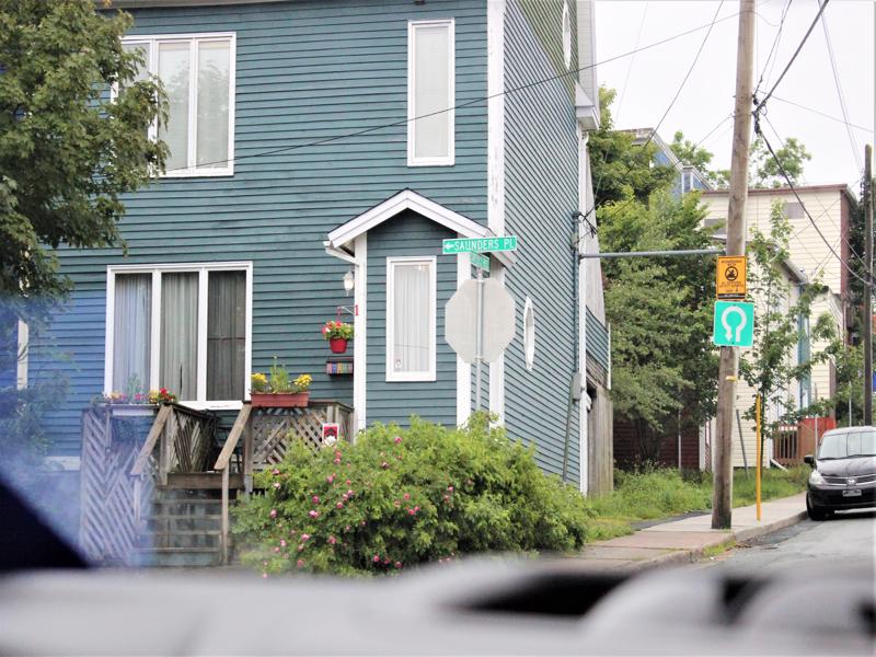
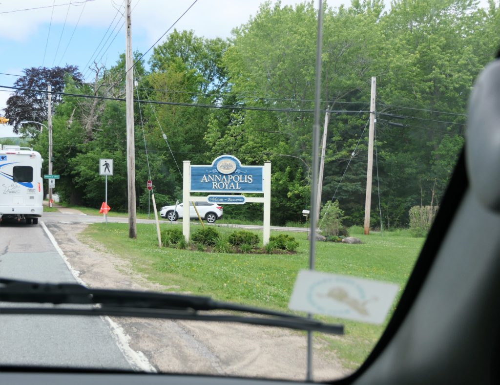
This next photo is a crack up! We were just driving around town in Annapolis Royal,NS and went down this street. If we went straight-there was a dead end- NO EXIT! There was NO RIGHT TURN and if we did try to turn right it was the WRONG WAY! There was no road on the left – it was a house. SO what do we do? Back up until we get to a street we can drive on! In all my years of driving I have never come across this before!

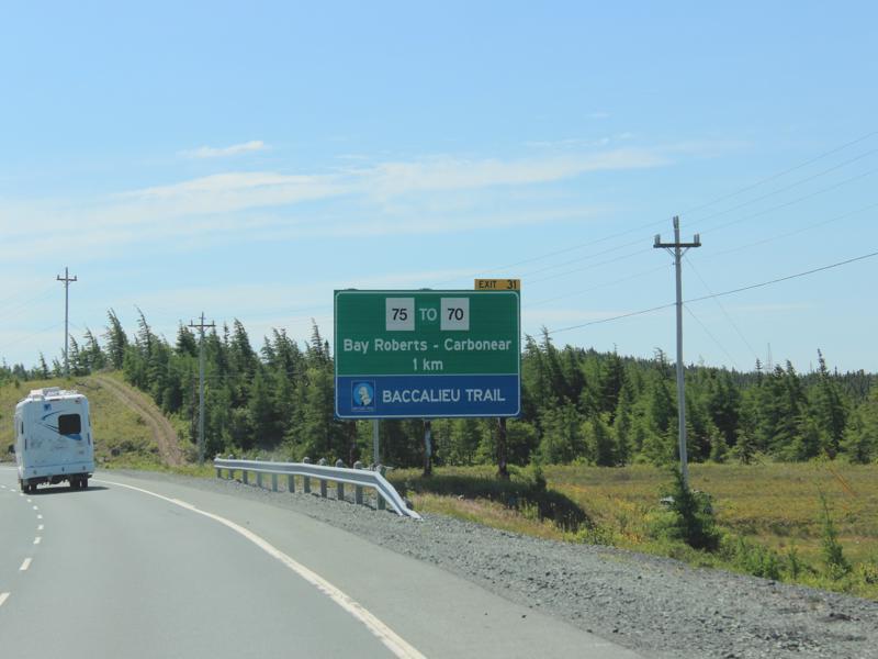
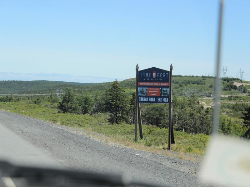
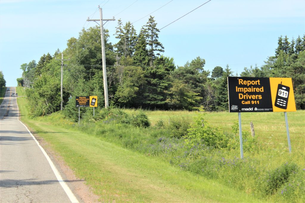
These signs are the extent of what we found for their billboard type advertising. We did stumble across a couple of billboards in all the provinces. It just looks so much nicer without all that kind of “noise.”


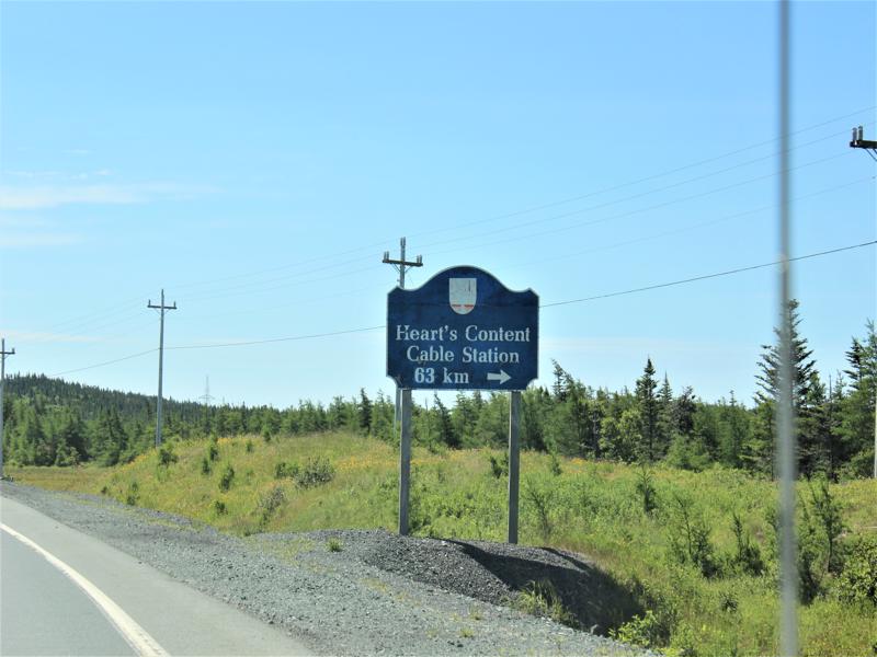
Salmon Interpretation Center and Fishery – Torrent River 
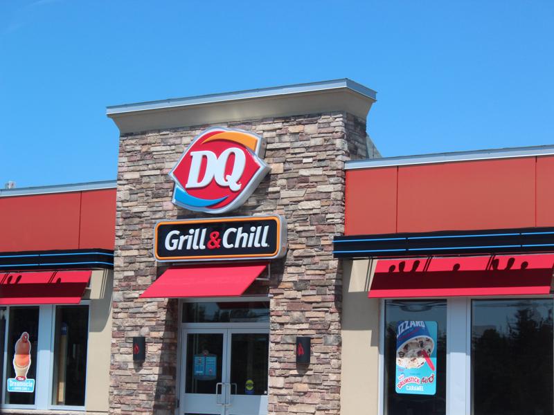
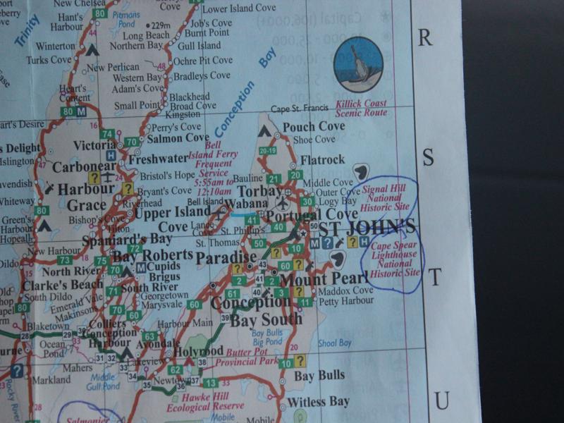
DQ in St. John’s! 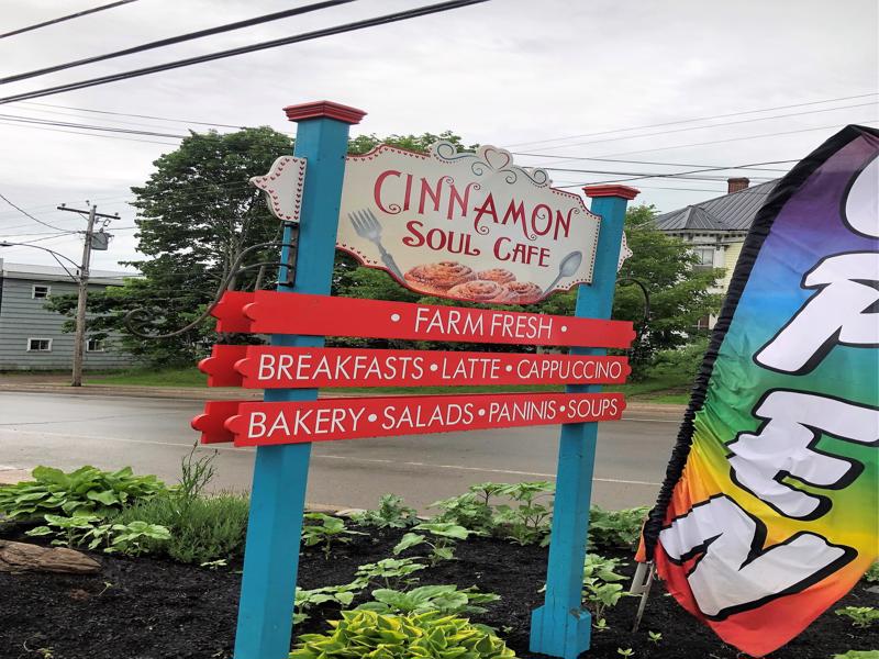

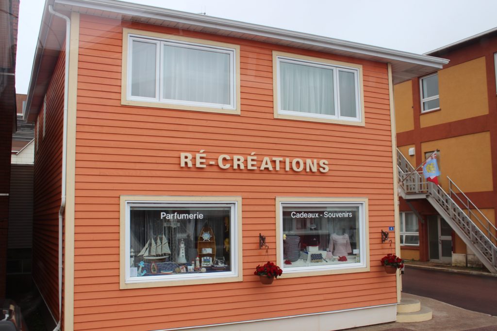
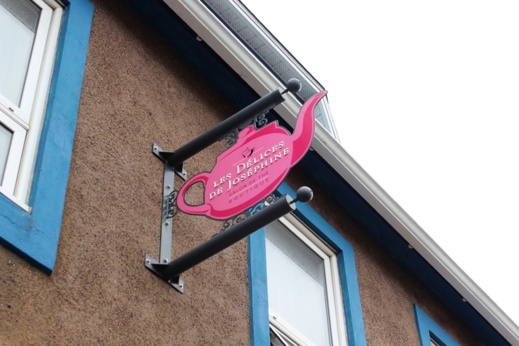
This is in France. 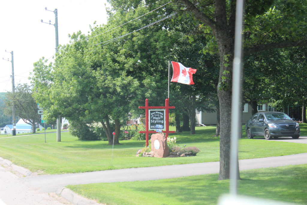
Ann Marie’s Family
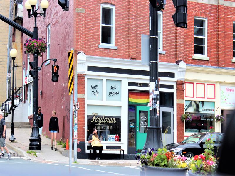
Hair Styling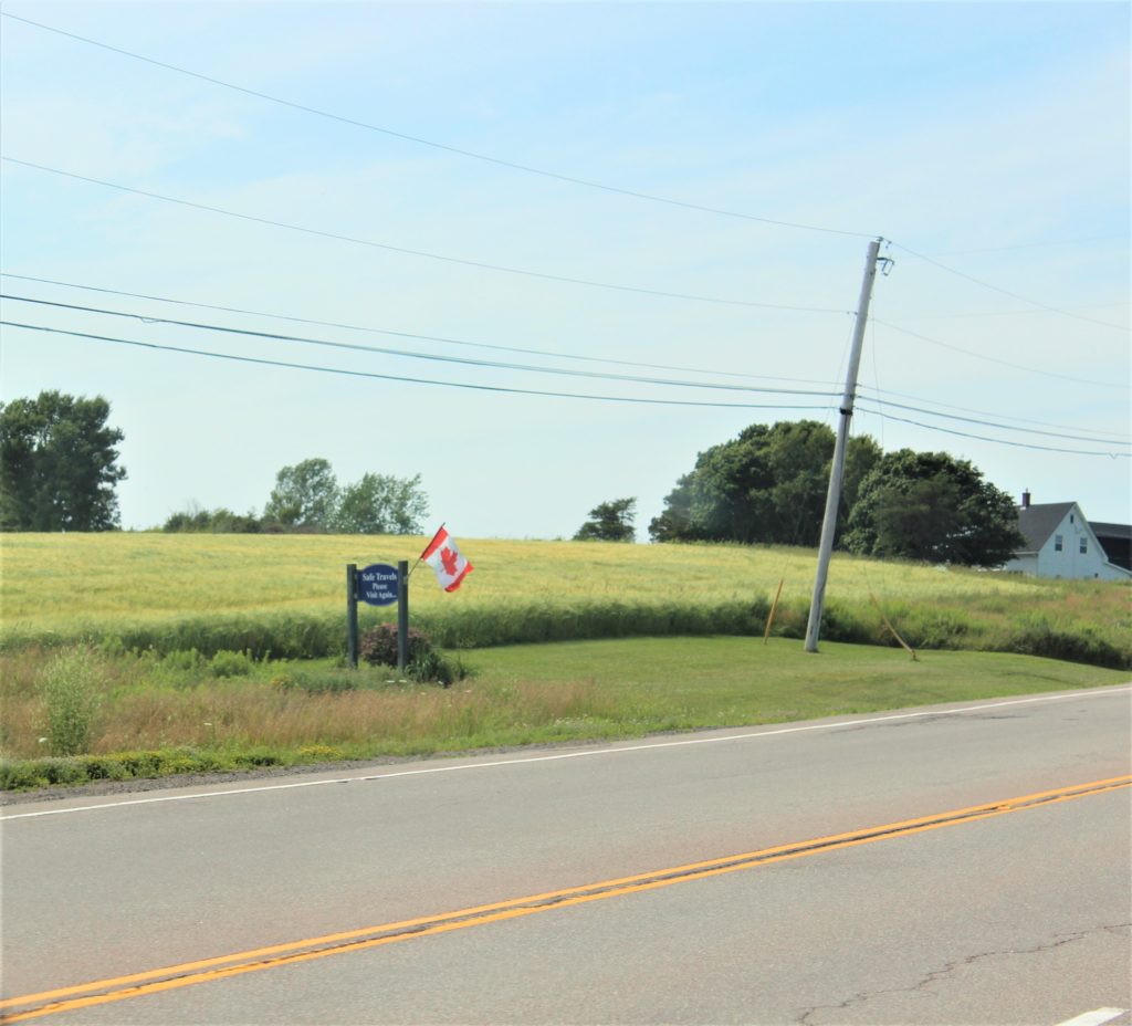
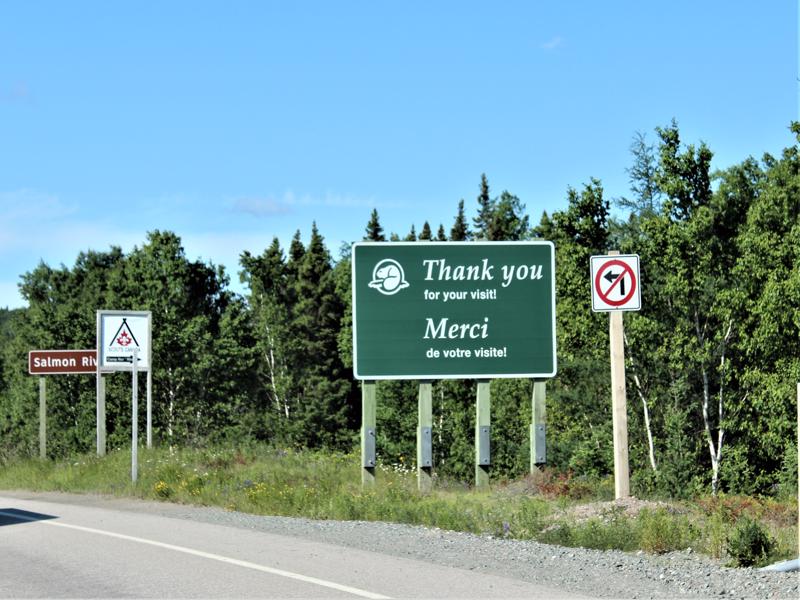
Safe Travels Please Visit Again! 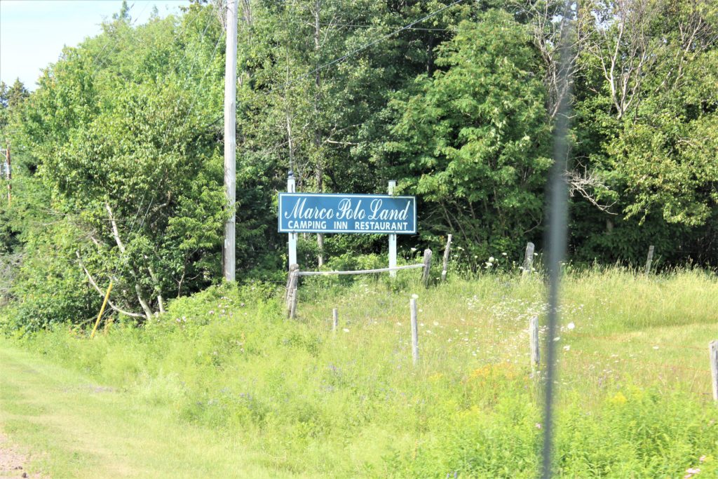
Marco Polo Land Camping Inn Restaurant 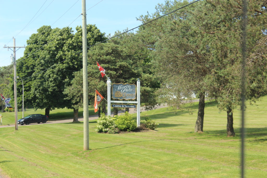
Marco Polo Land – Camping & Trailering 
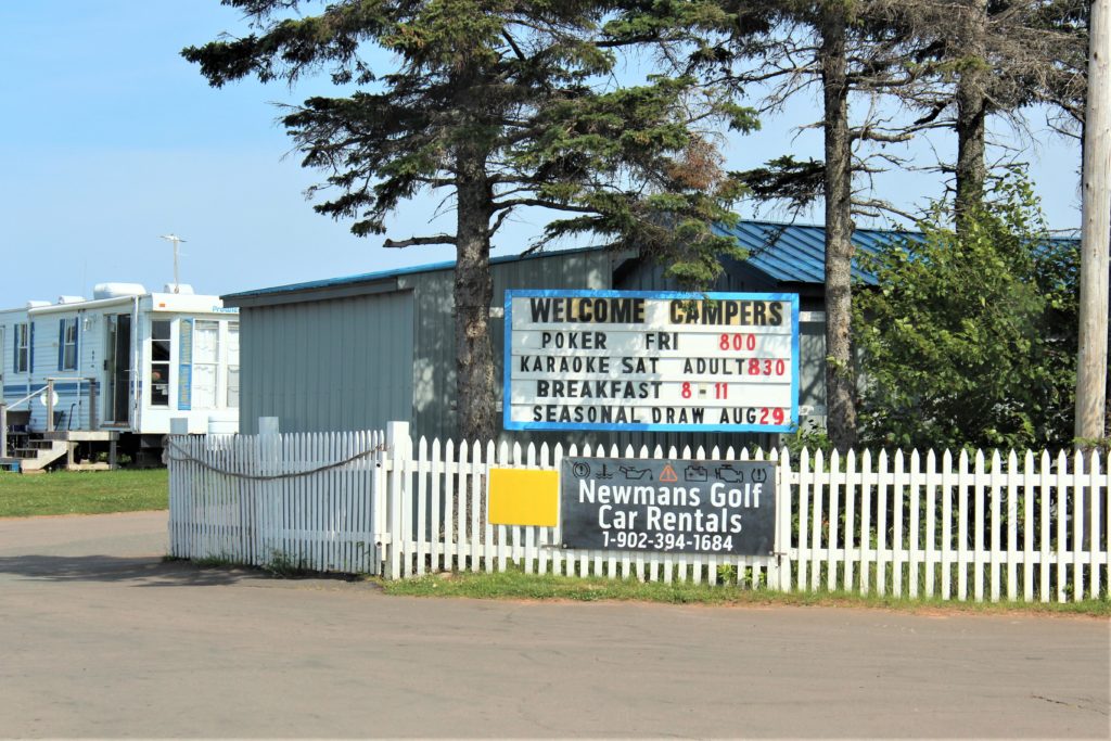

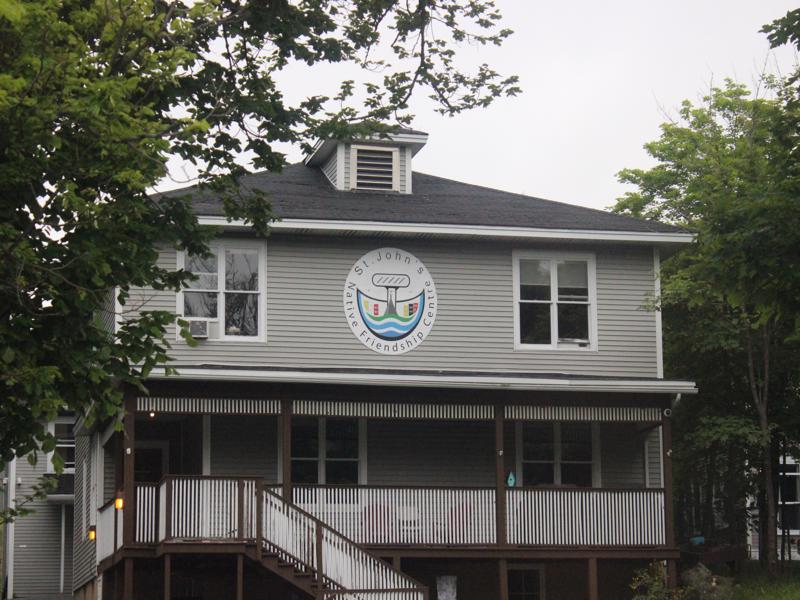
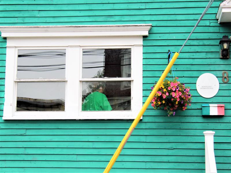
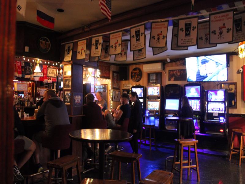
They don’t have regular members. 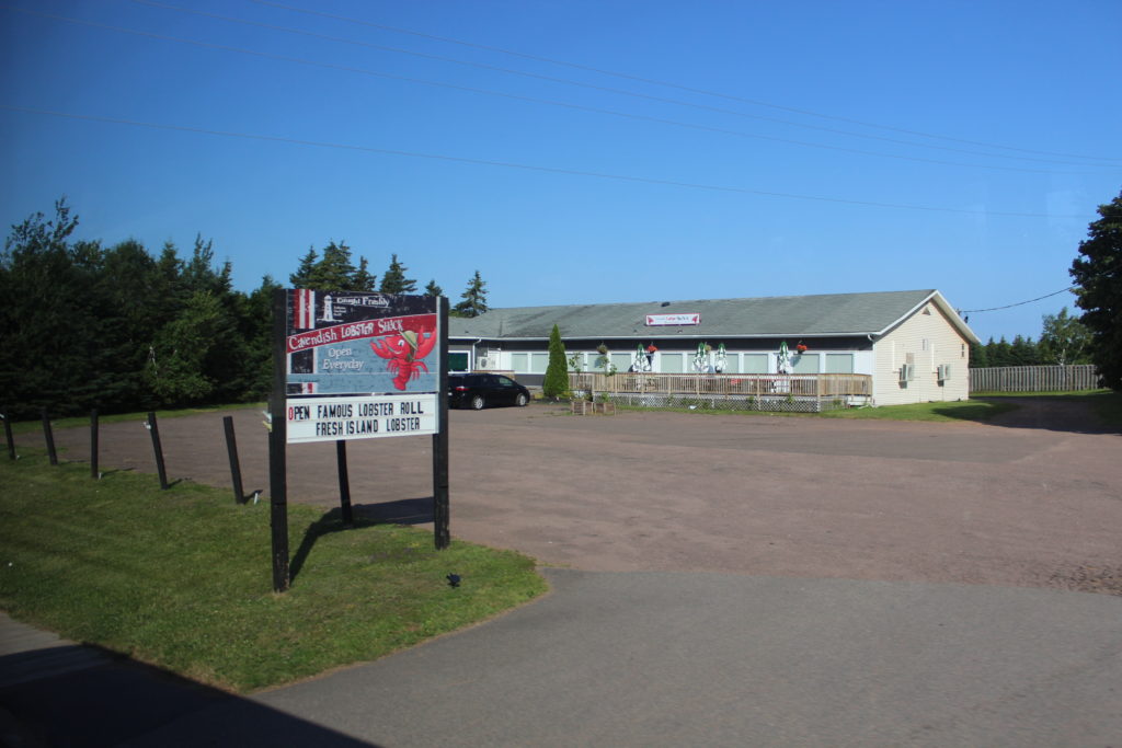
Caught Freshly-Cavendish Lobster Shack-Open Everyday
Open-Famous Lobster Roll-Fresh Island Lobster
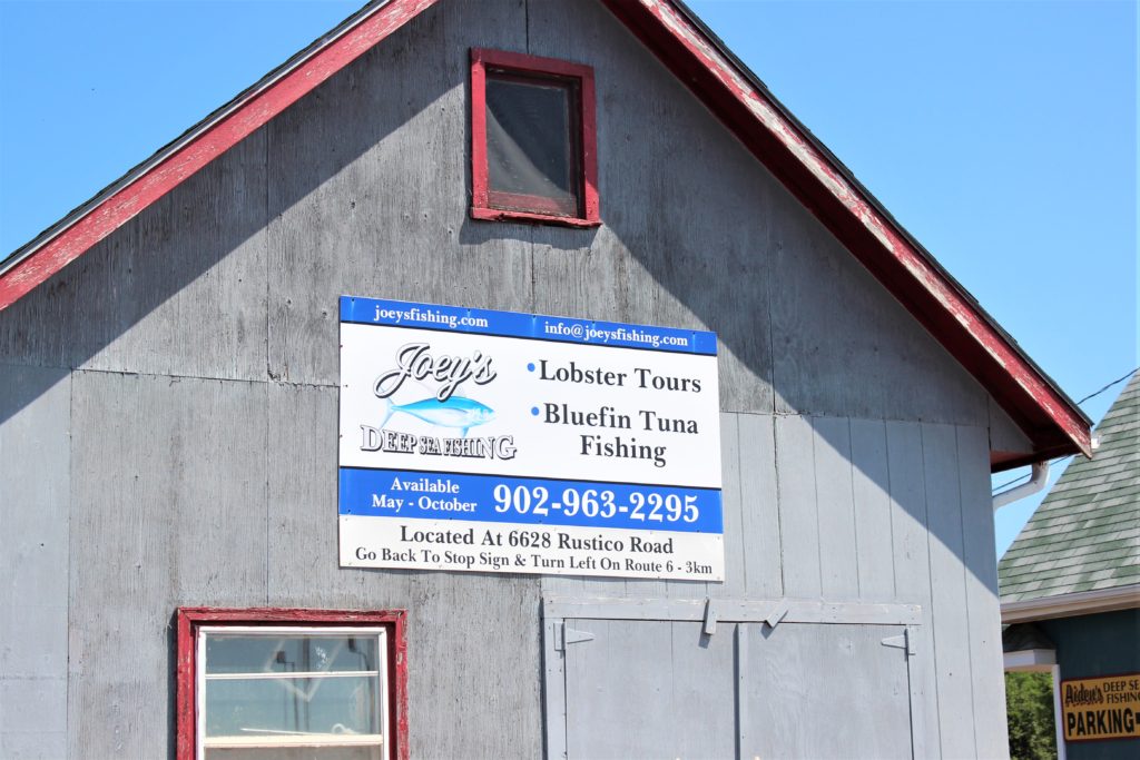
New London Wharf-Deep Sea Fishing
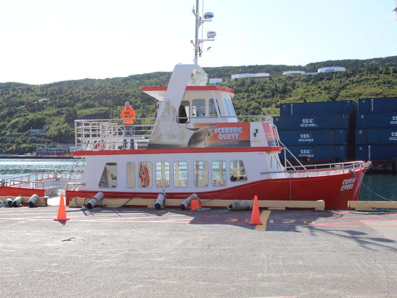
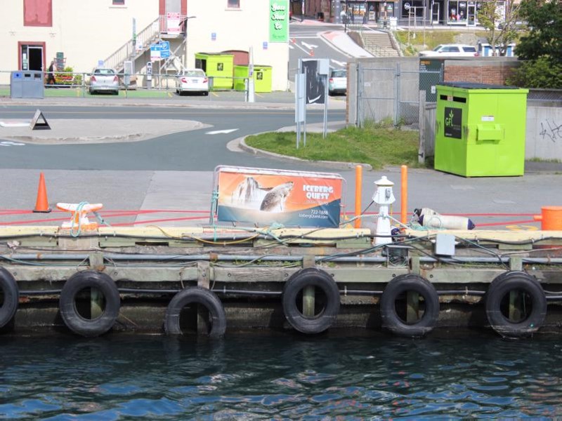
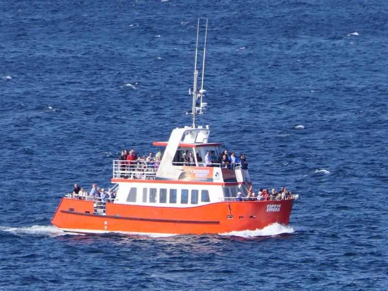
Aboard Great Big Sea 3 Trips Daily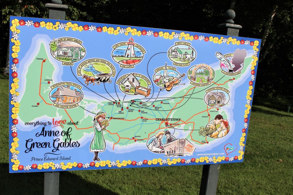
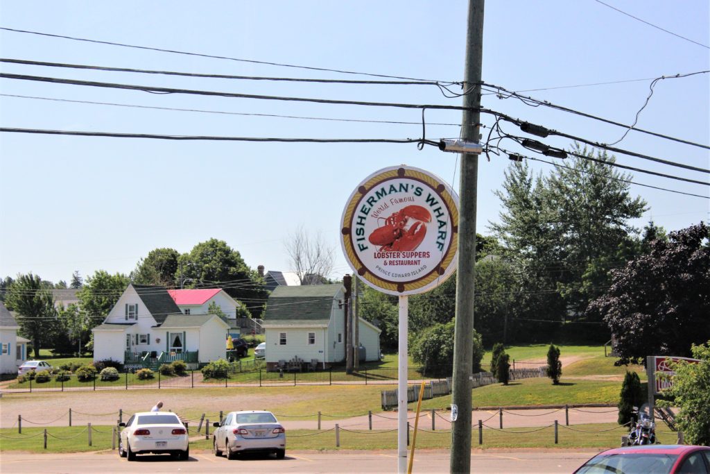
Fisherman’s Wharf -World Famous
Lobster Suppers and Restaurant-P.I.E.

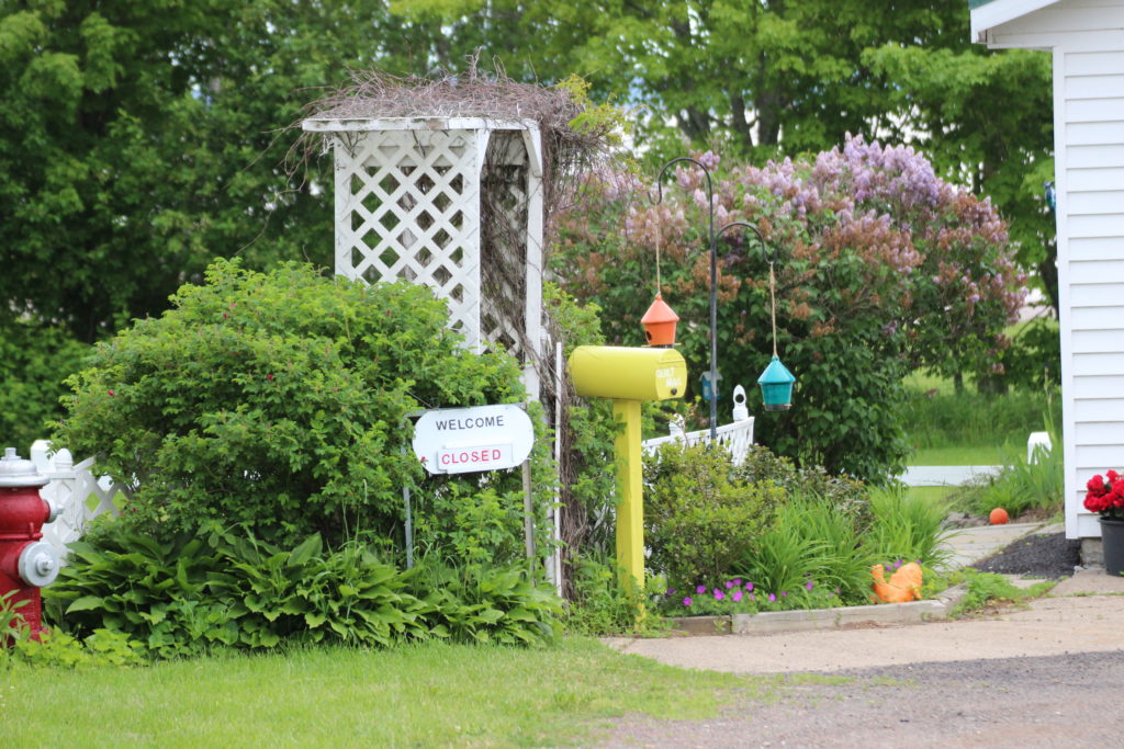
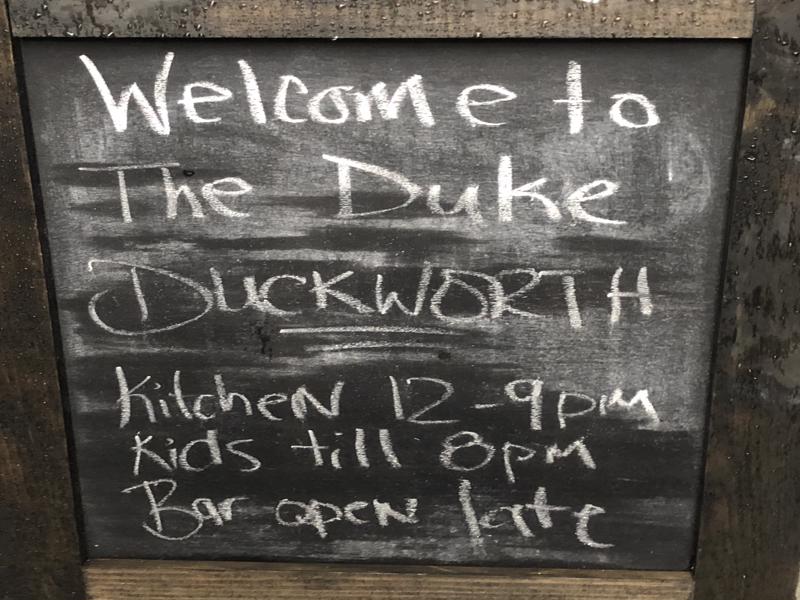
Welcome
Closed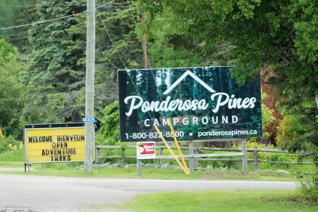


English – Groups
French- Groupes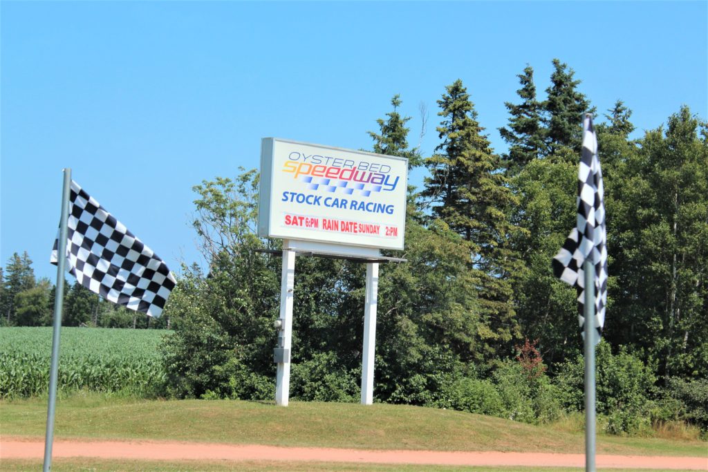

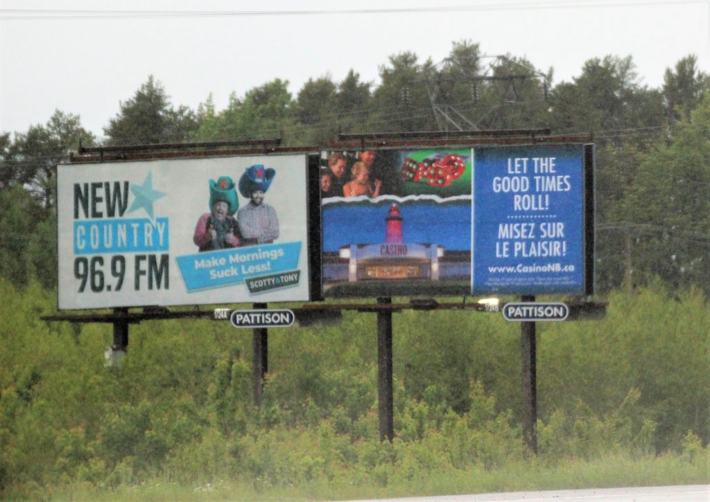
First “real” billboard. 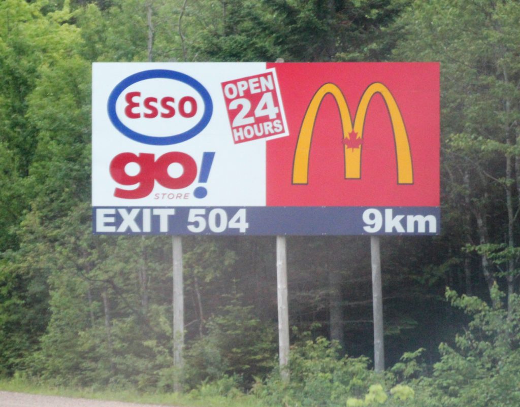
2nd billboard 
This sign is small.
I wouldn’t want to live in Sackville.


🙂 🙂 🙂 

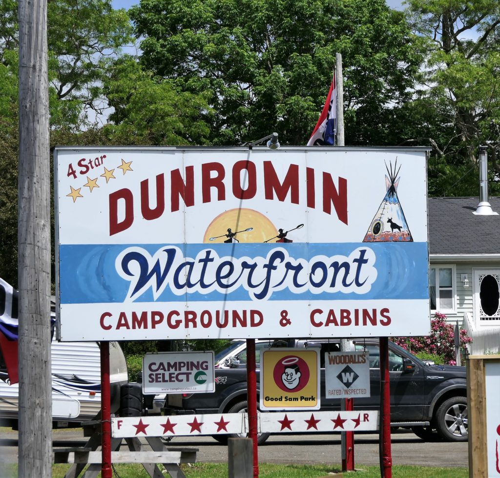
It’s a great name for a campground. 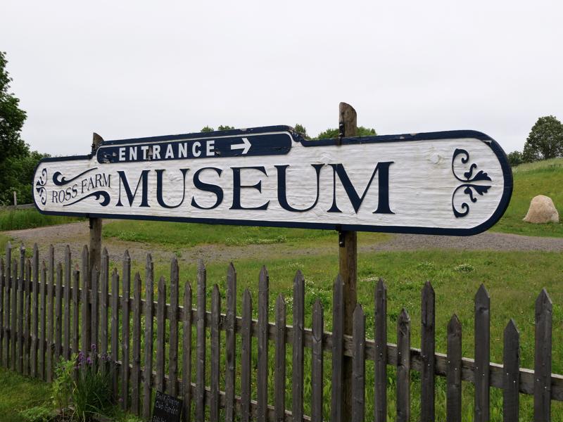

The signs are nice. The rest -pfffpt! 

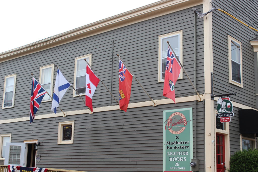
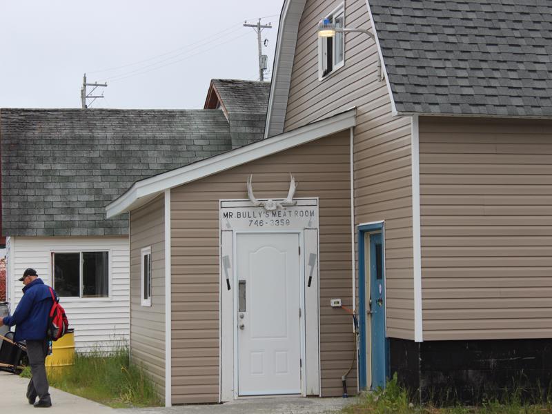
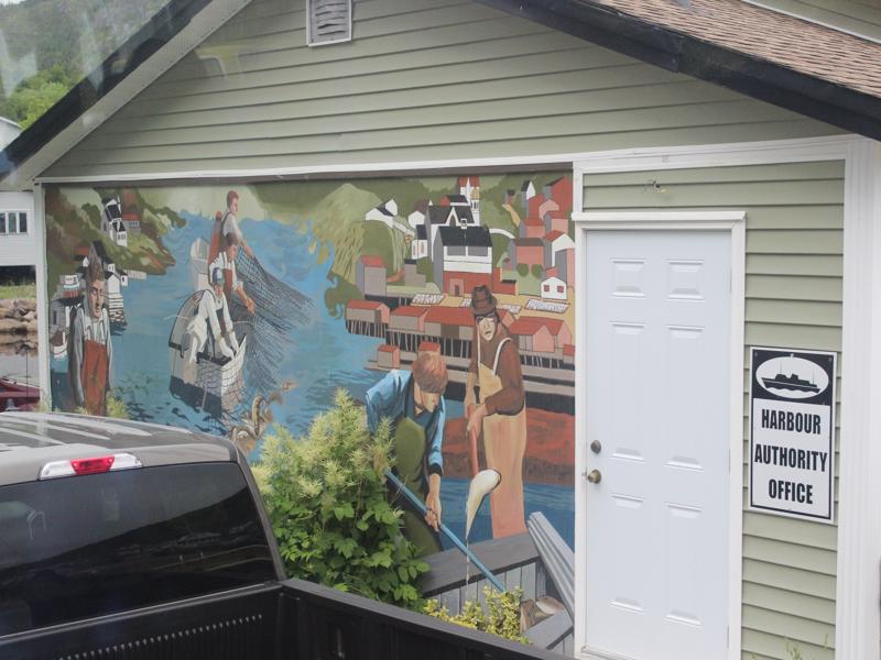
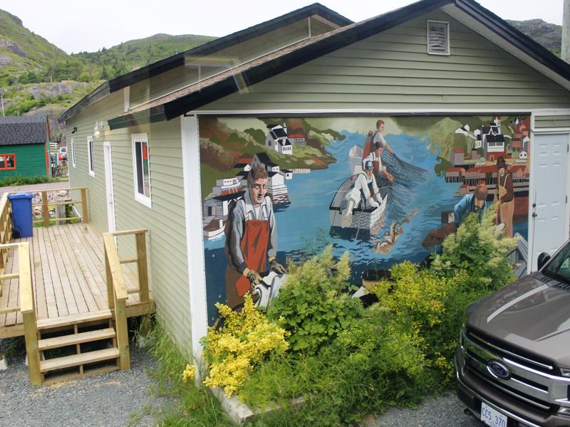
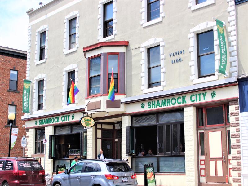
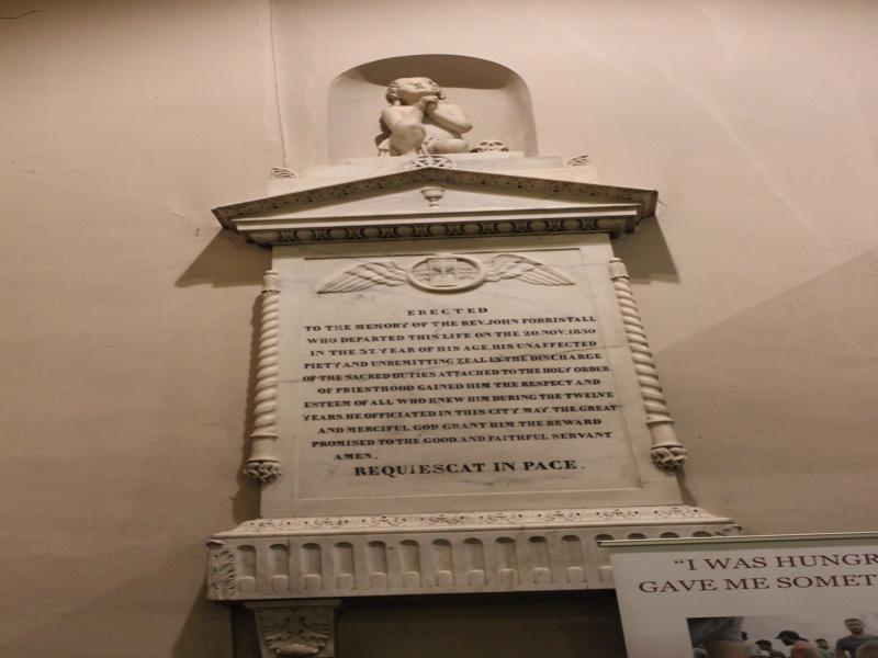
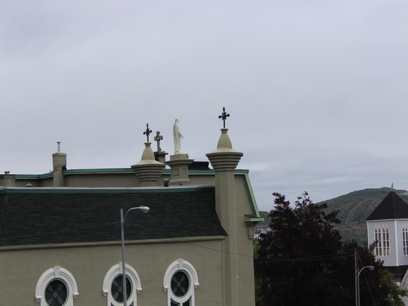
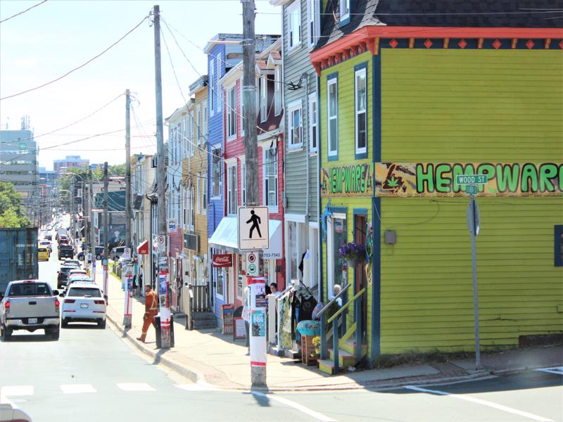
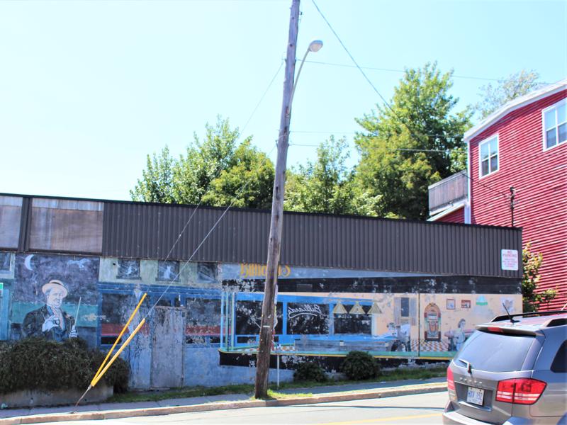
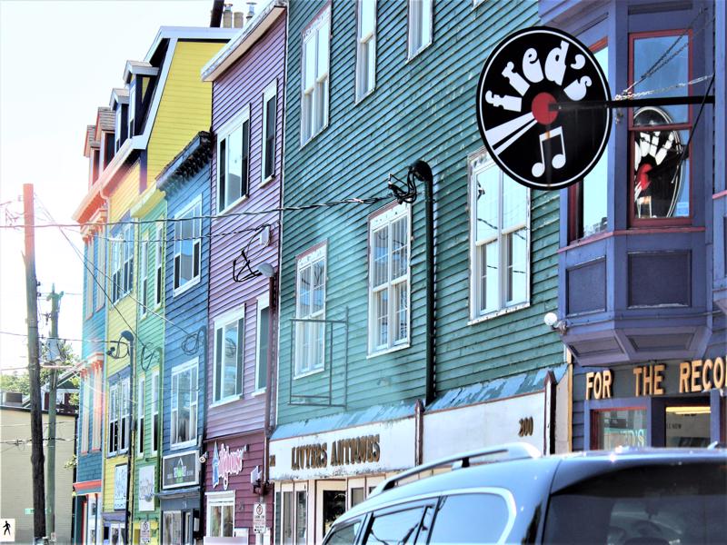
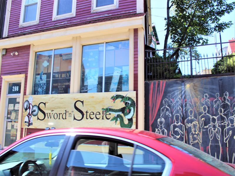
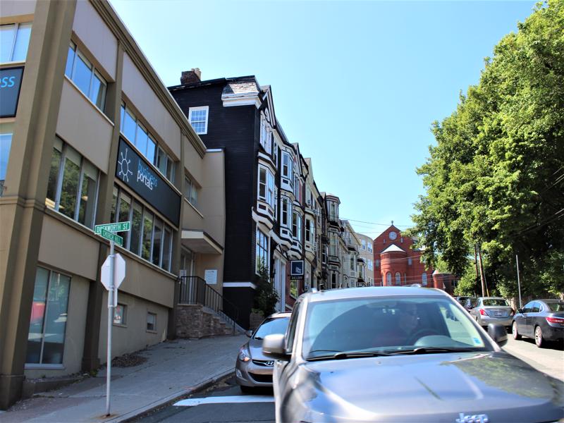
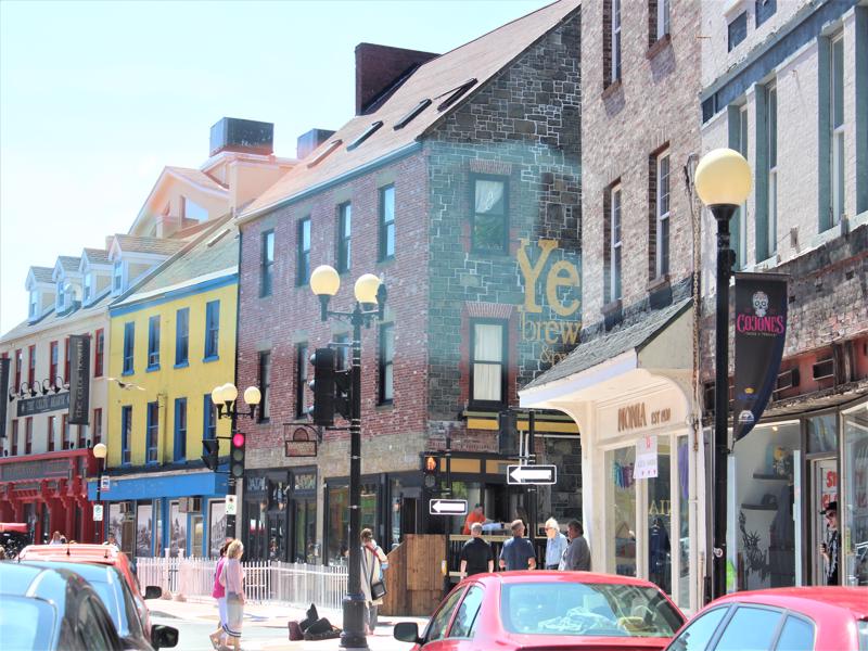
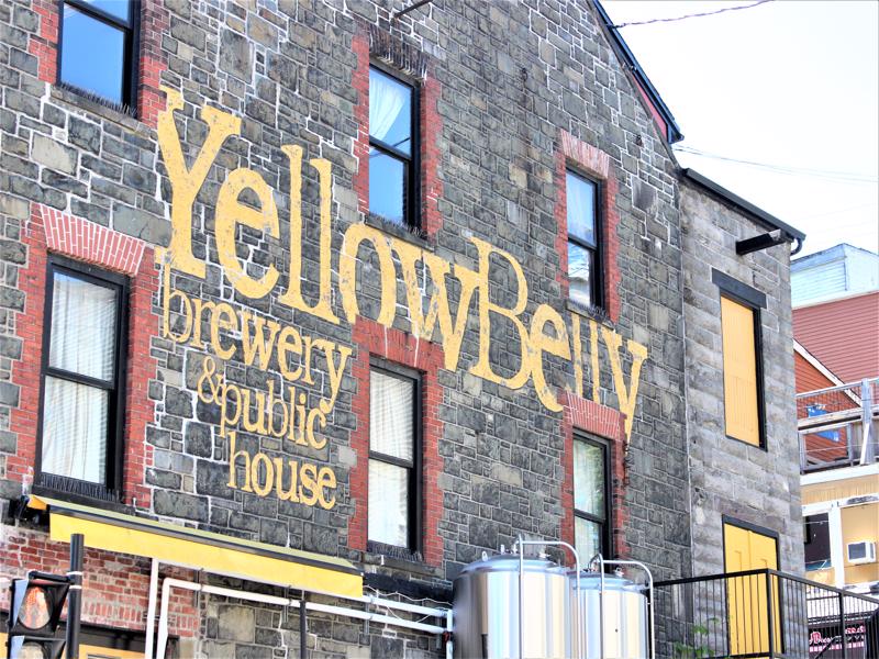
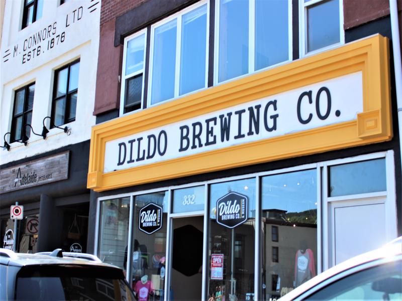
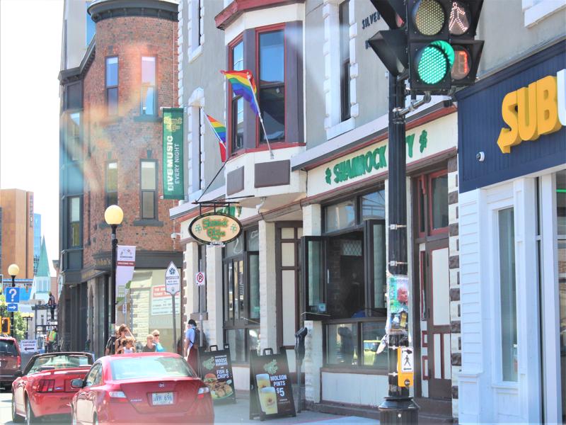
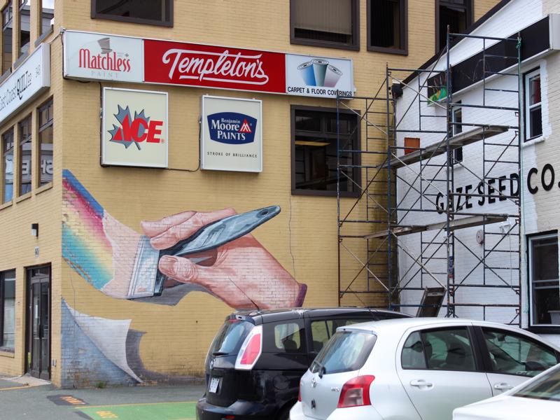
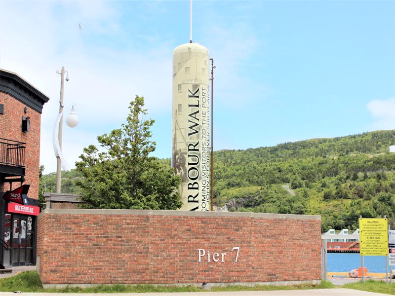
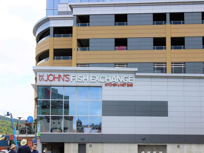
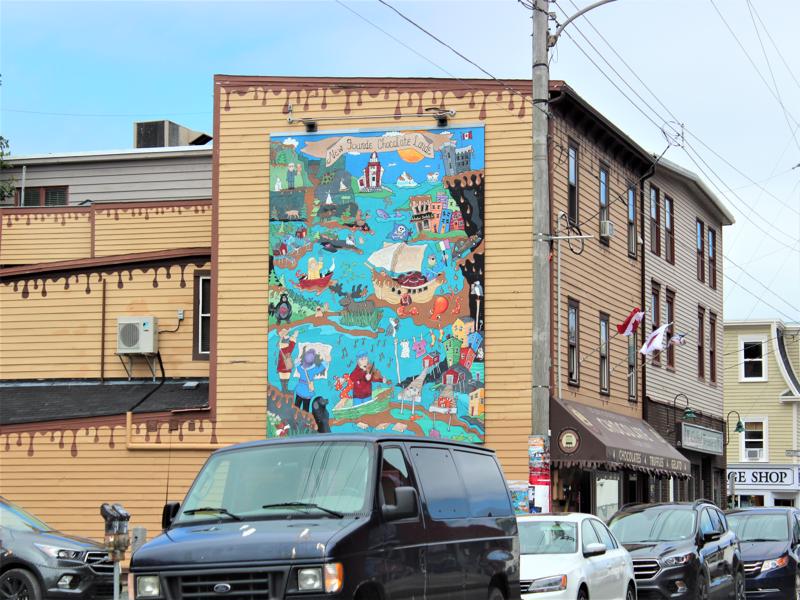
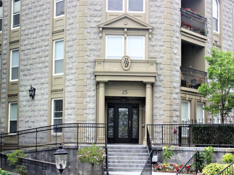
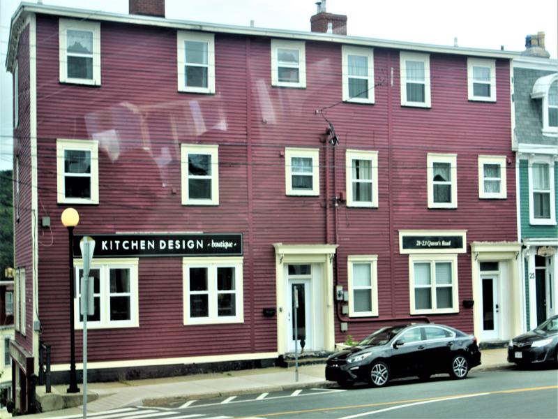
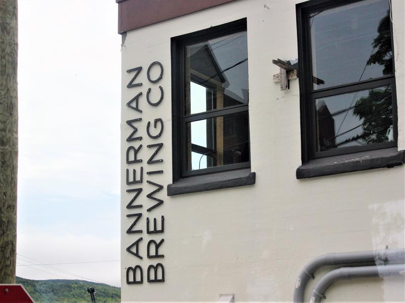
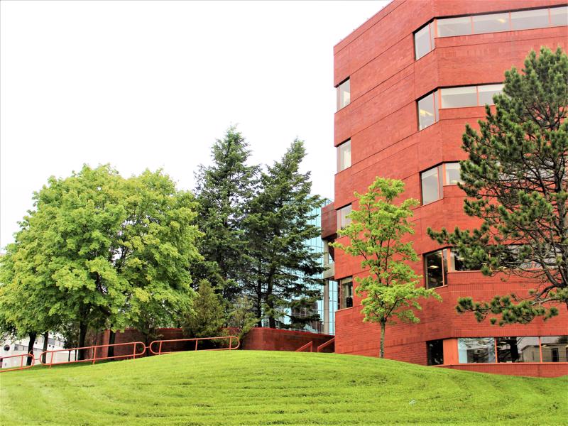
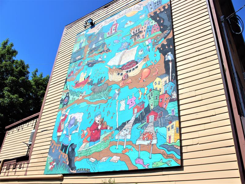
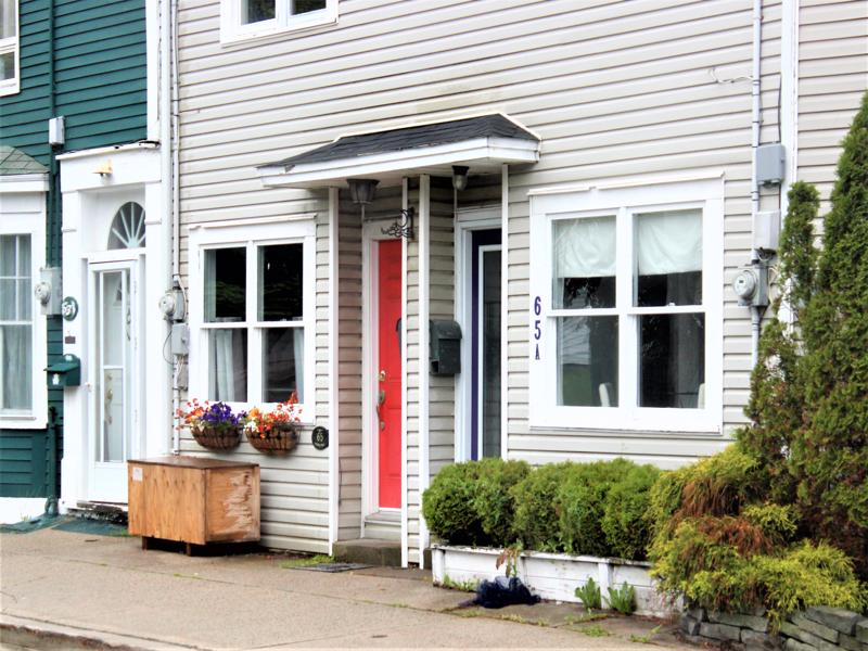
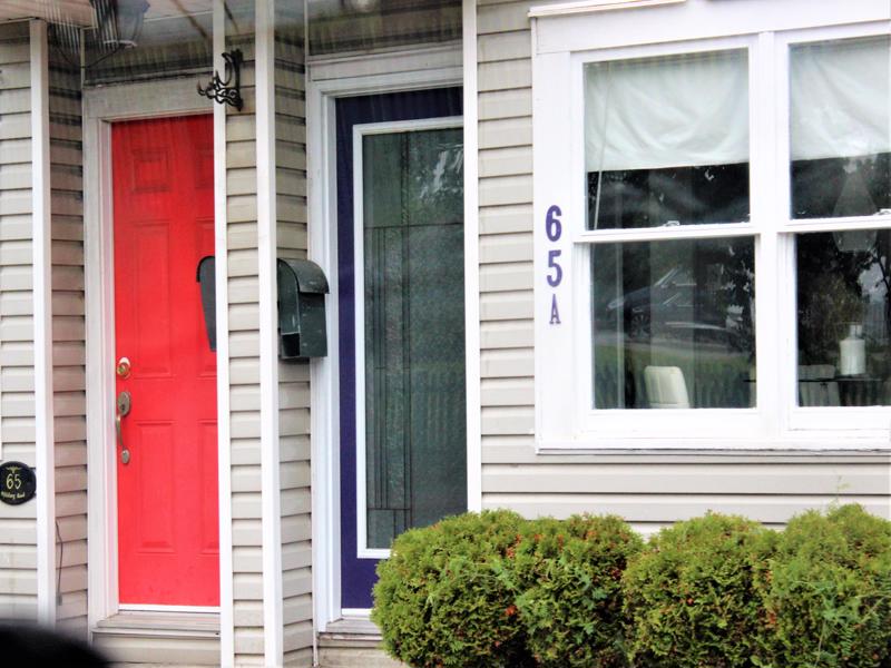
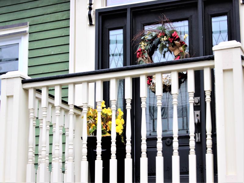
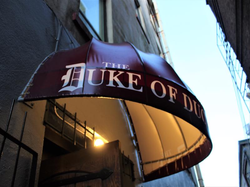
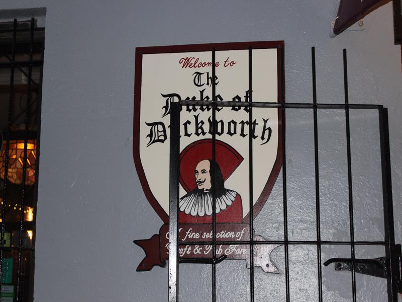
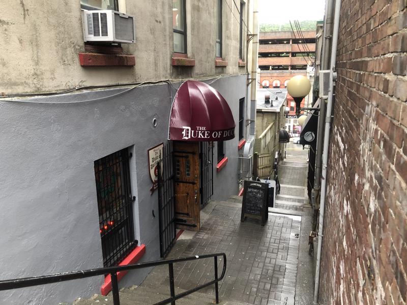
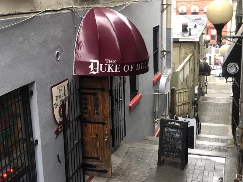
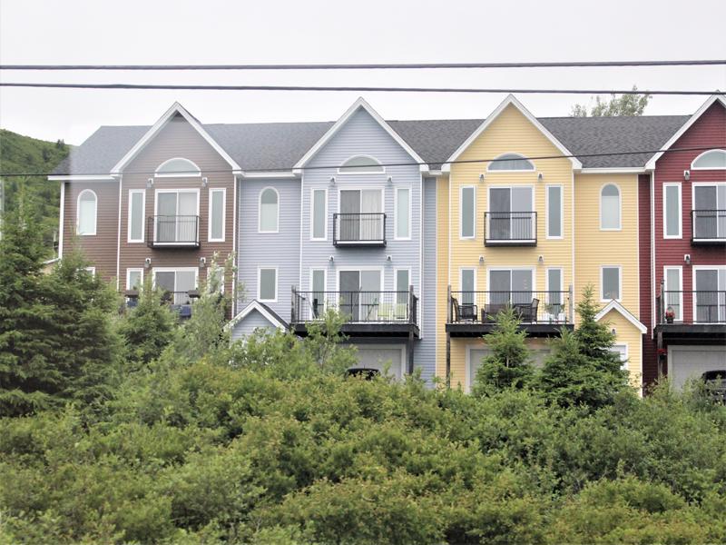
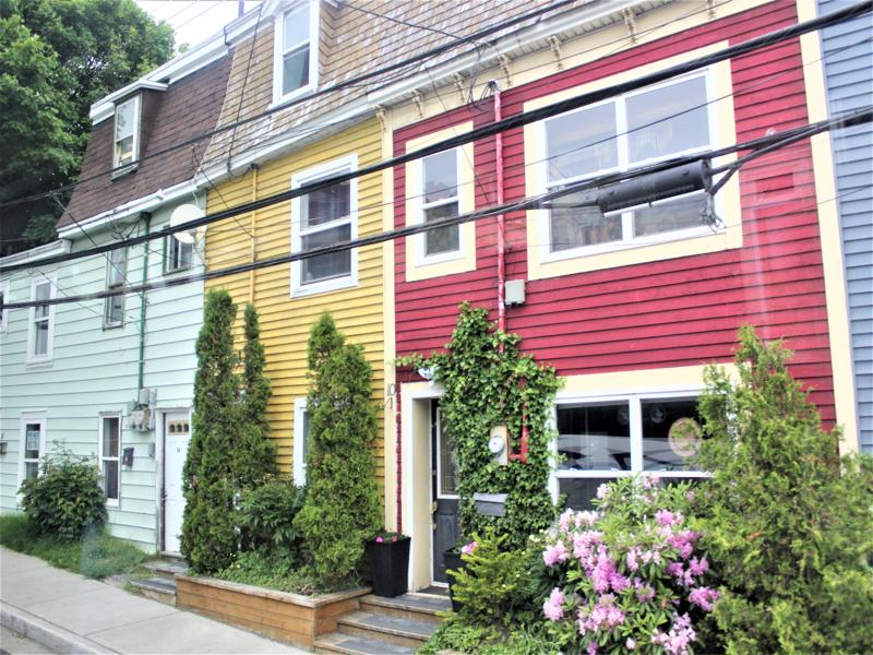
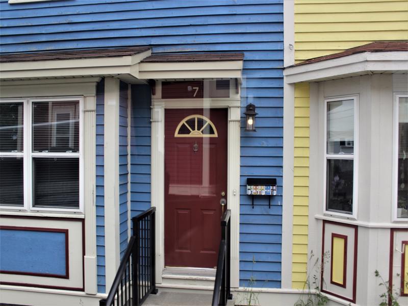
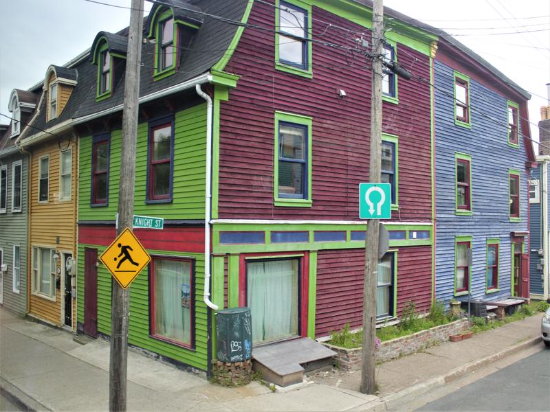
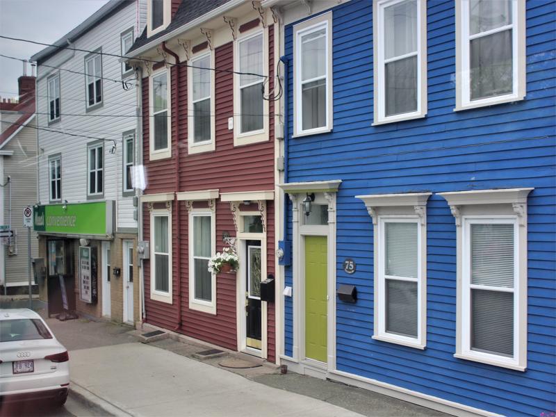
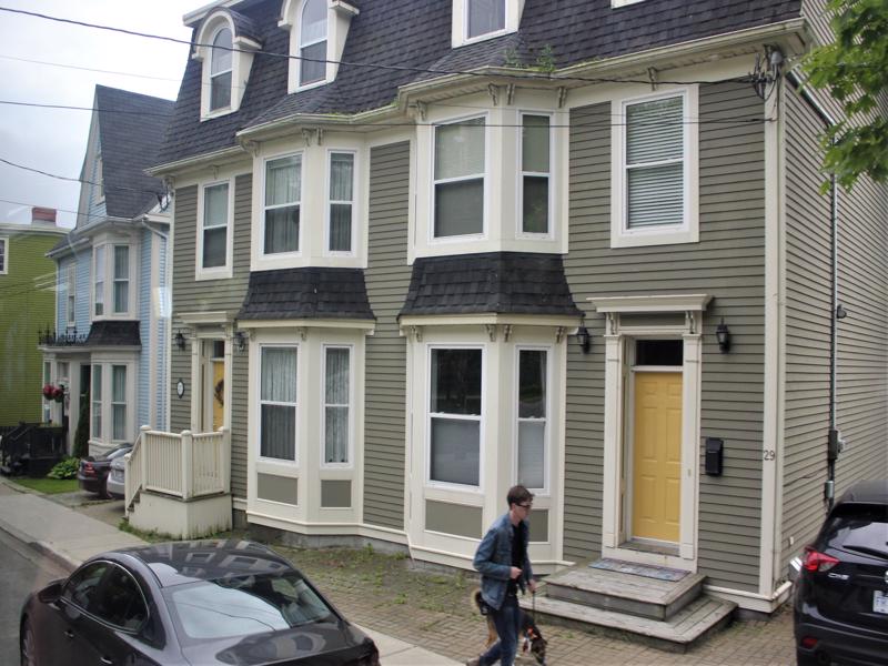
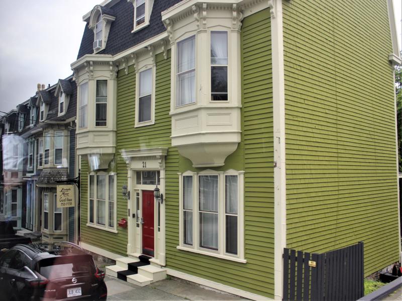
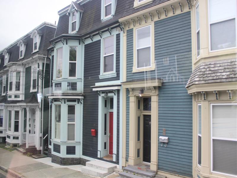
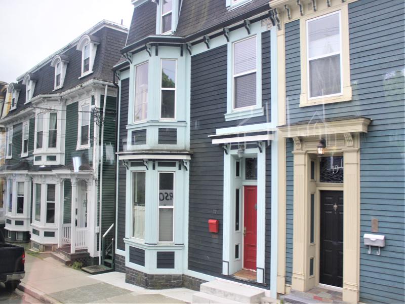
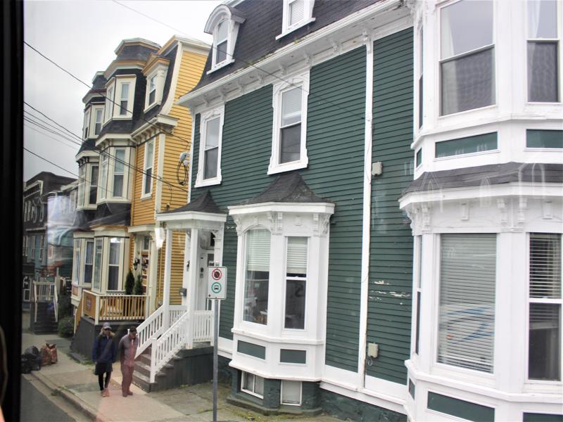
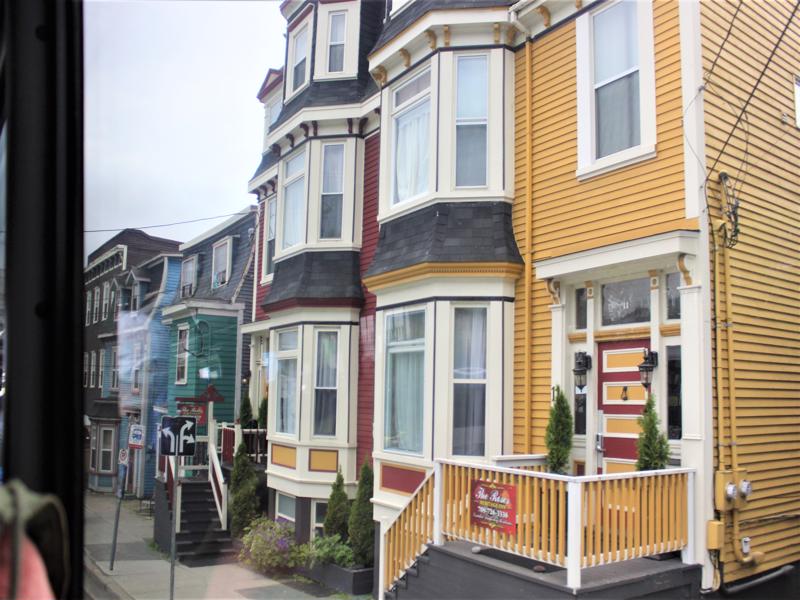
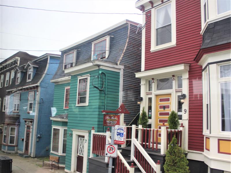
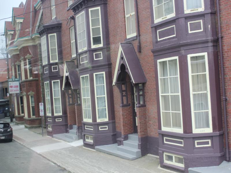
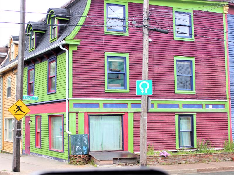
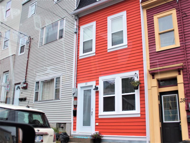
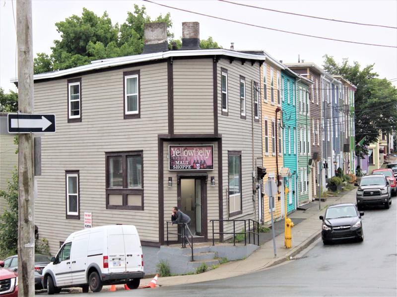
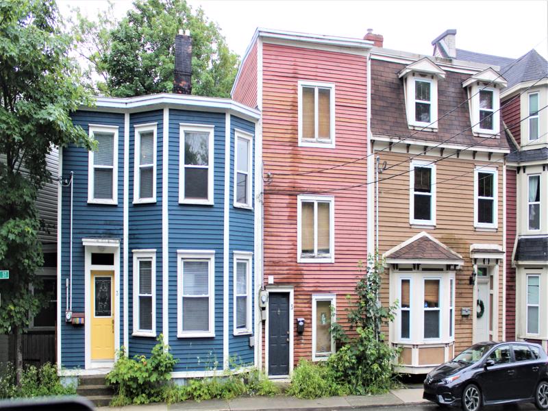
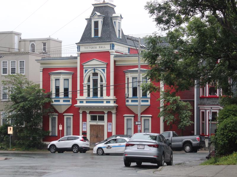
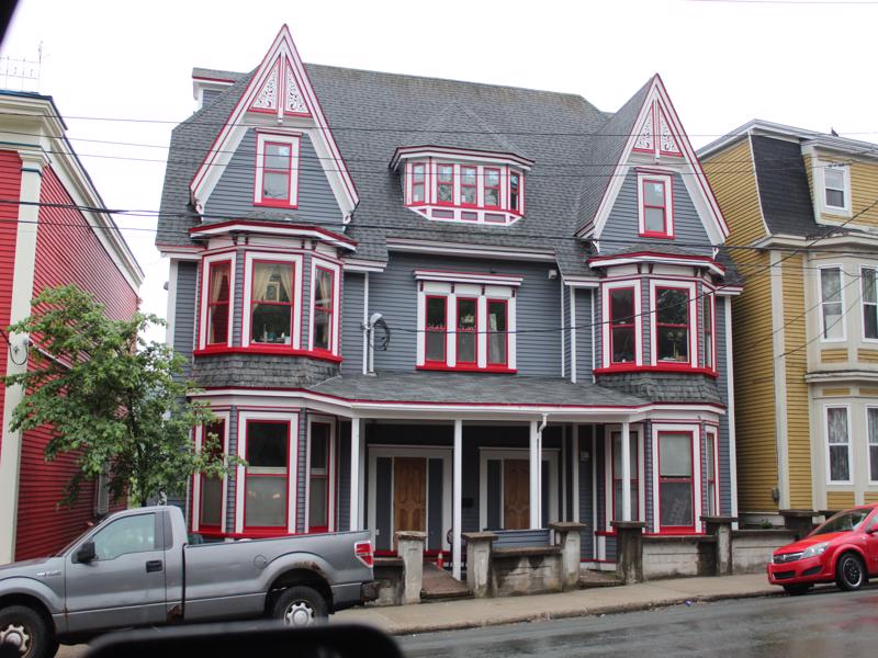
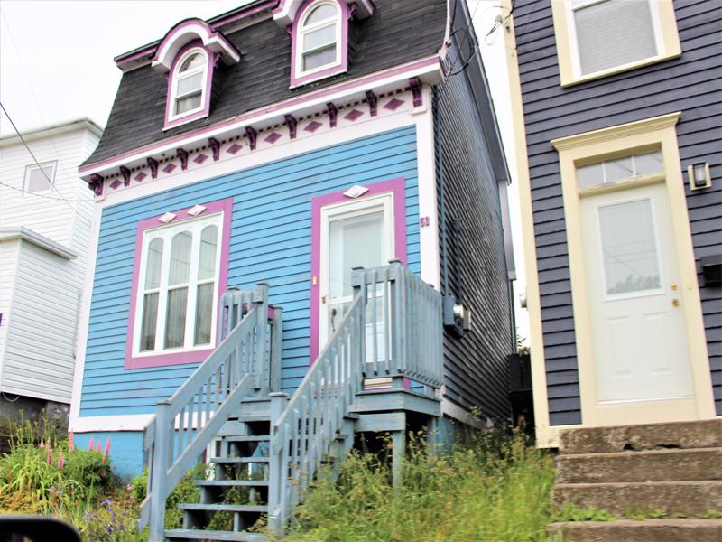
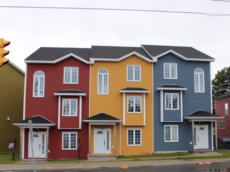
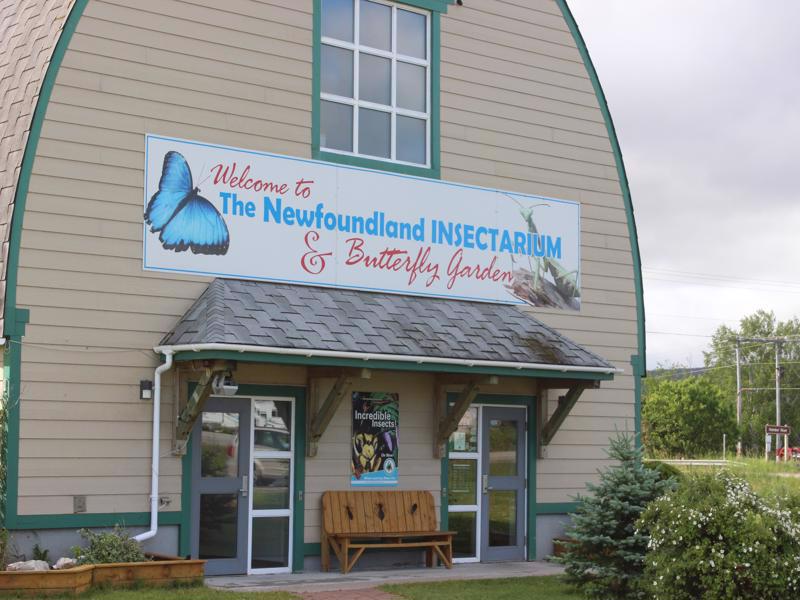
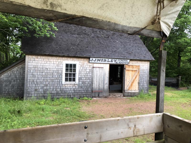
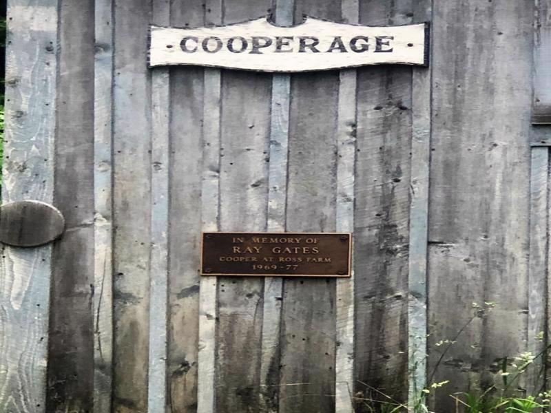
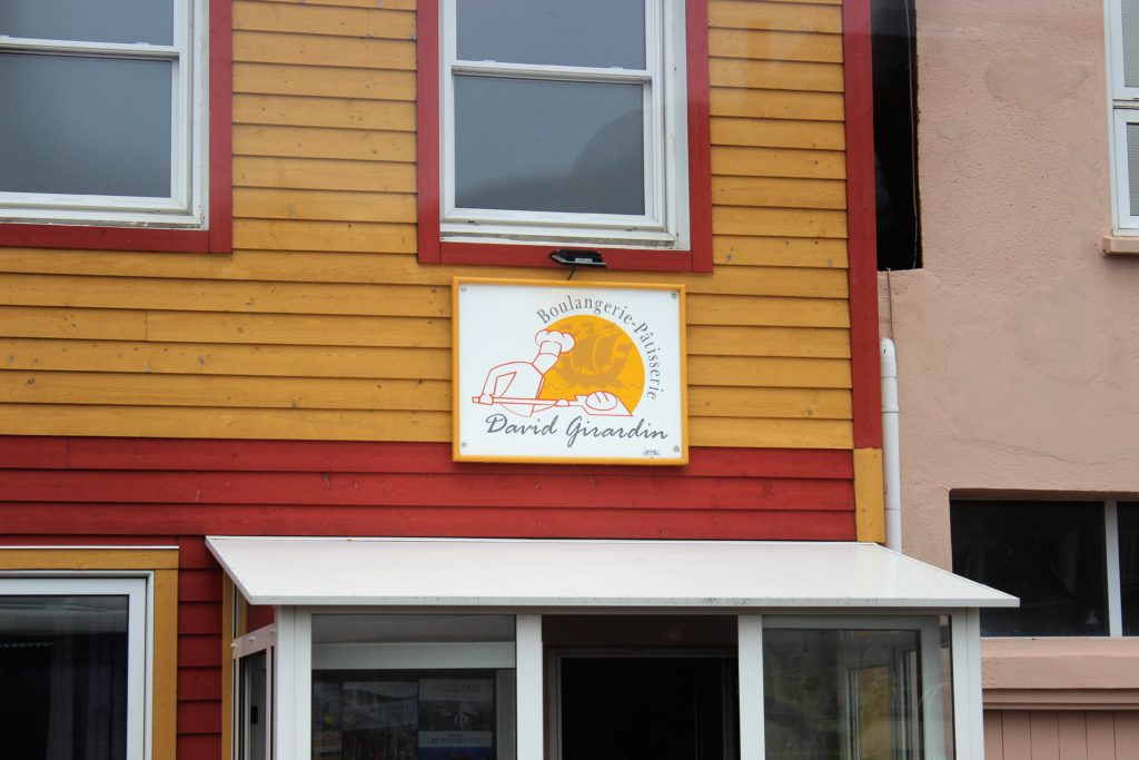
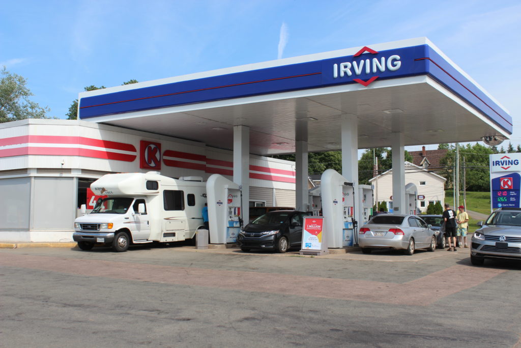
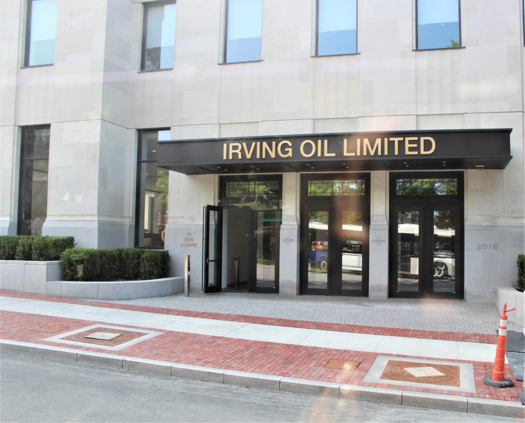
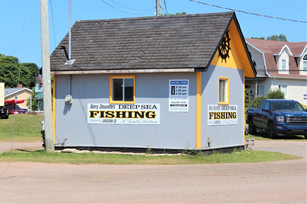
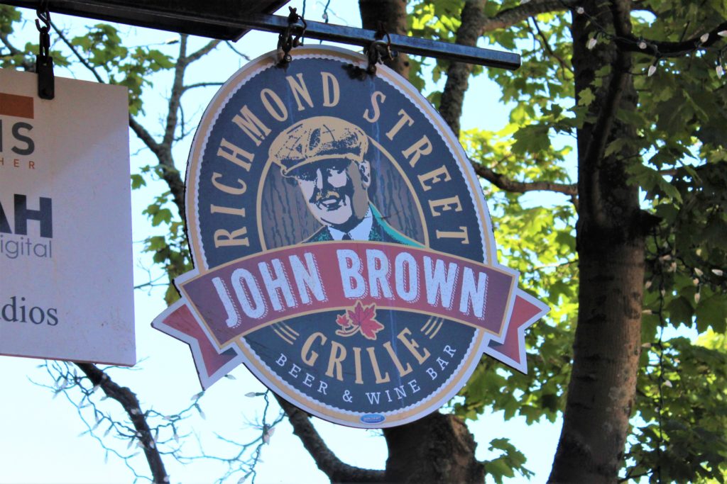
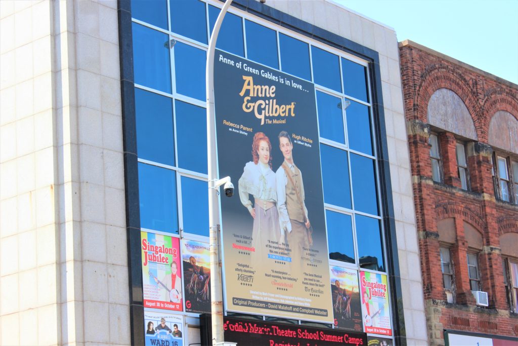
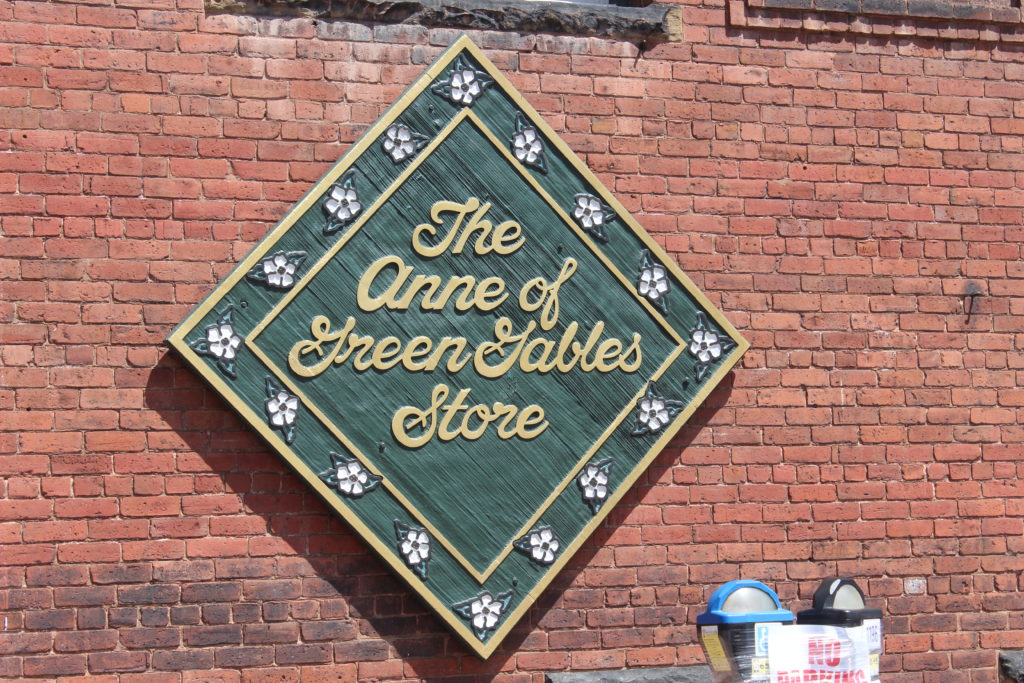
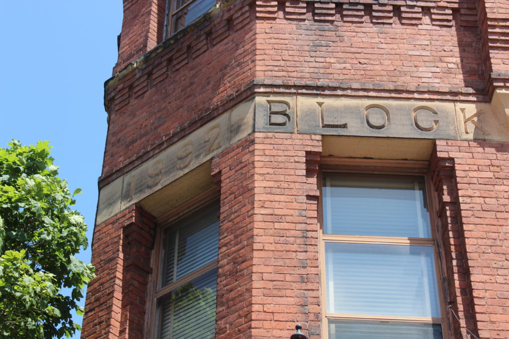
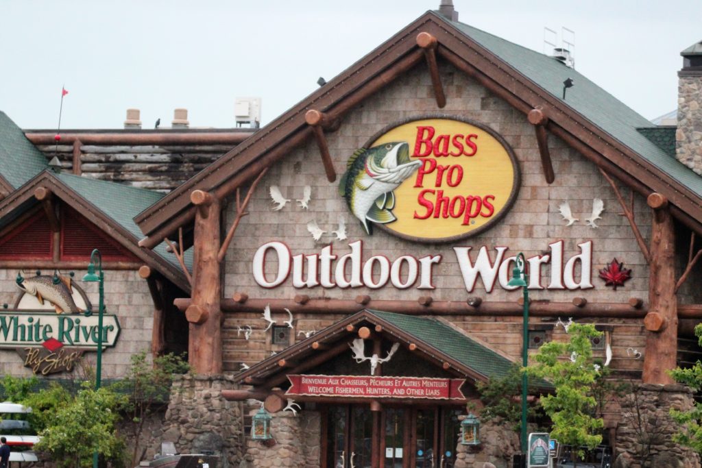
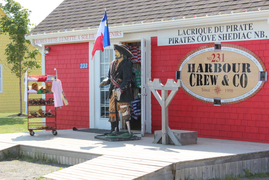
Signs on buildings.


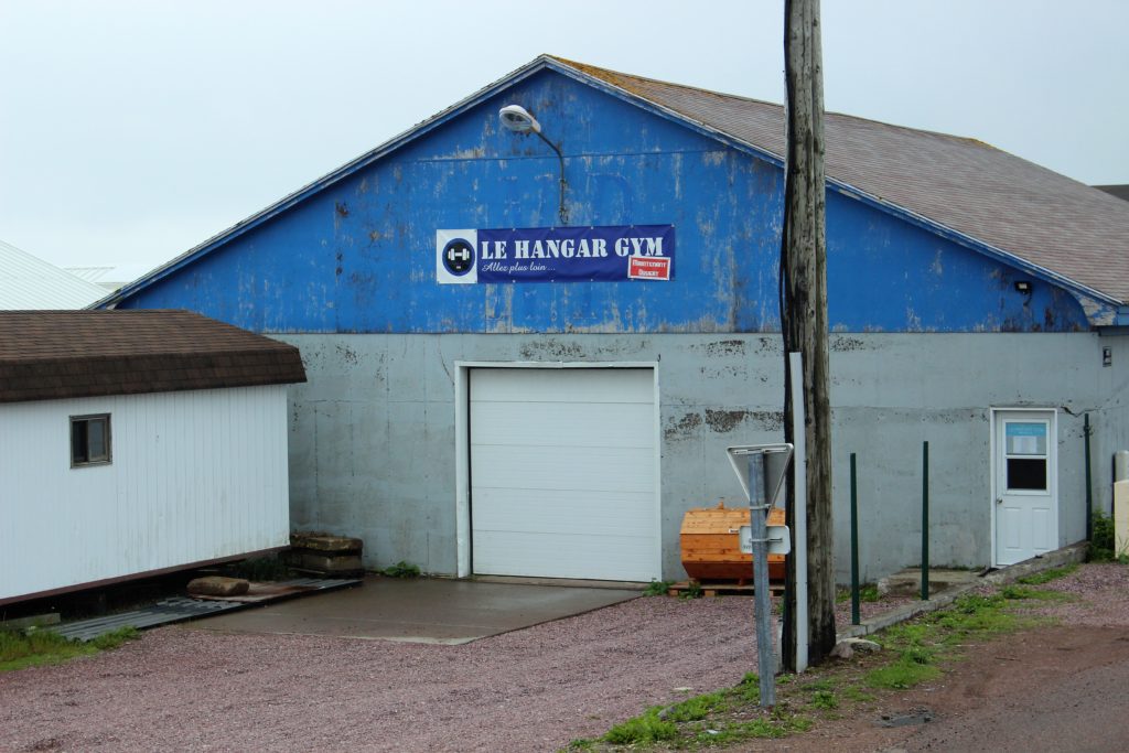
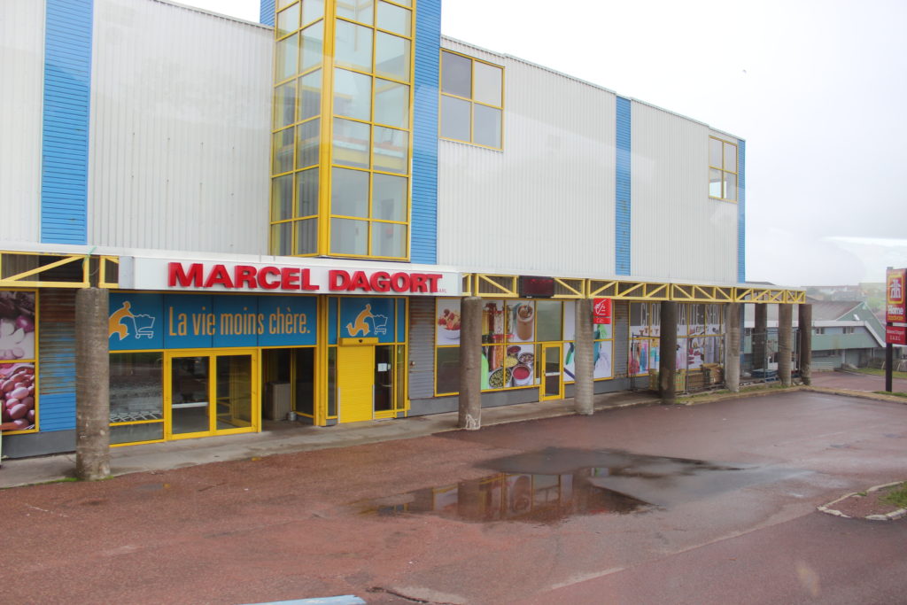


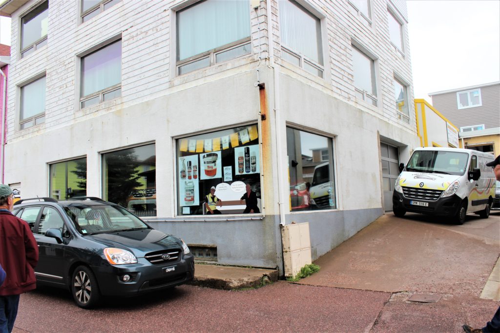
Car Dealership in France 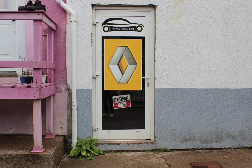

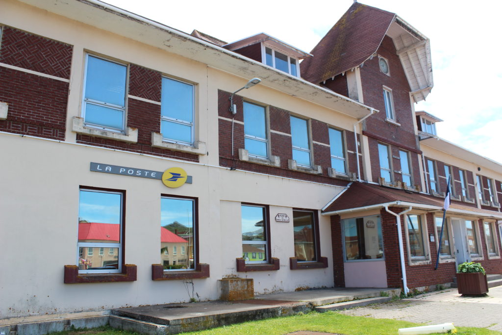
Post Office in France 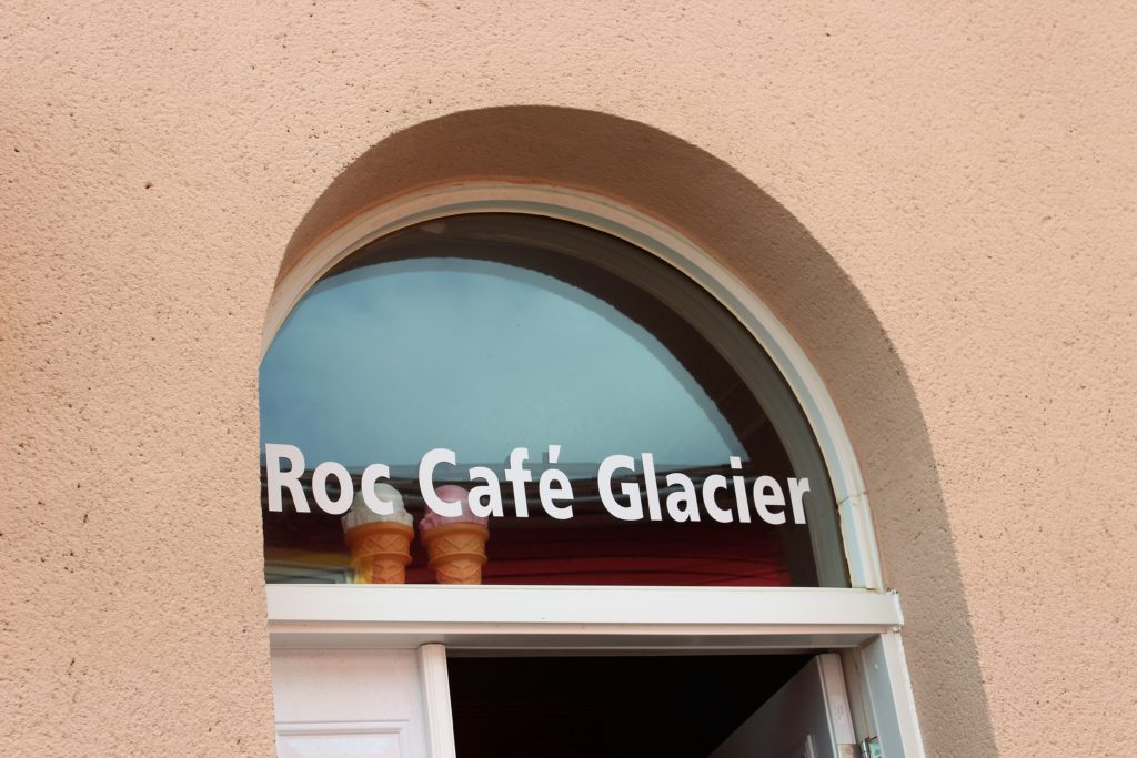
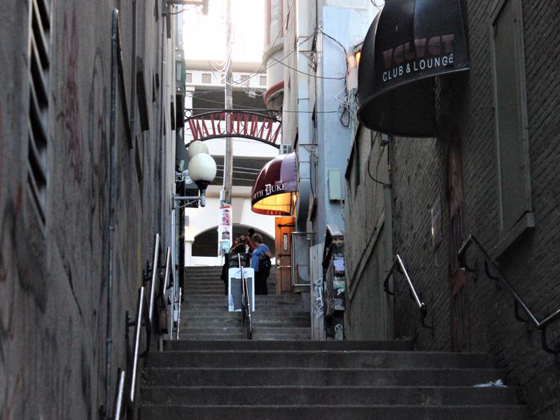
See how close Wally is to the store. To get in you had to walk sideways! 🙂 


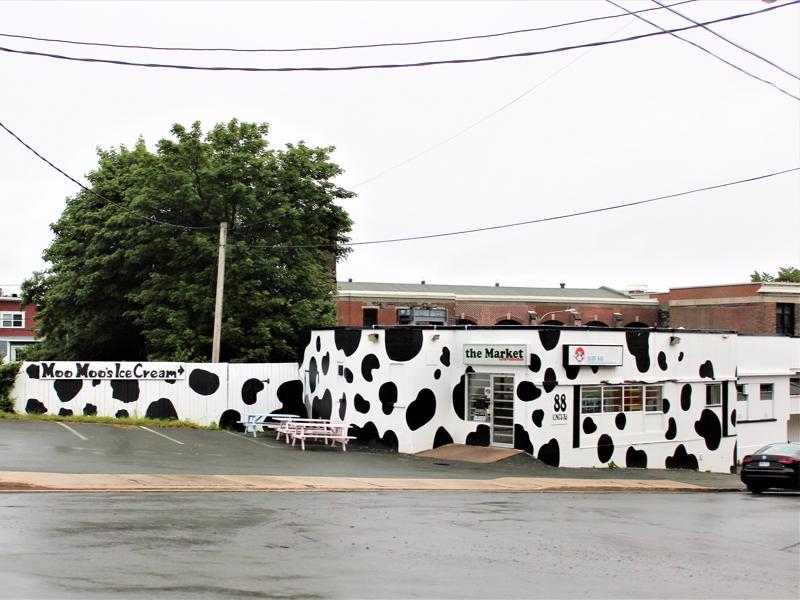
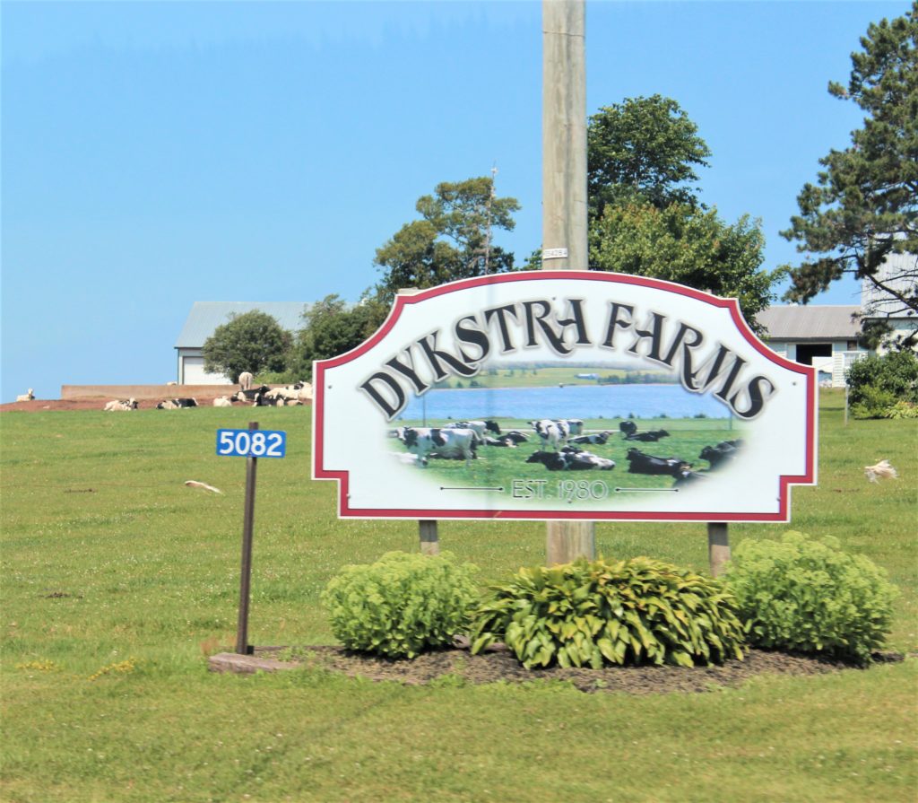
Moo-licious! 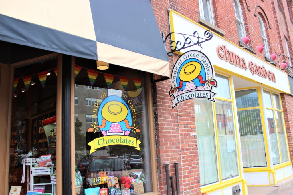
Chocolate covered red licorice is the BEST! 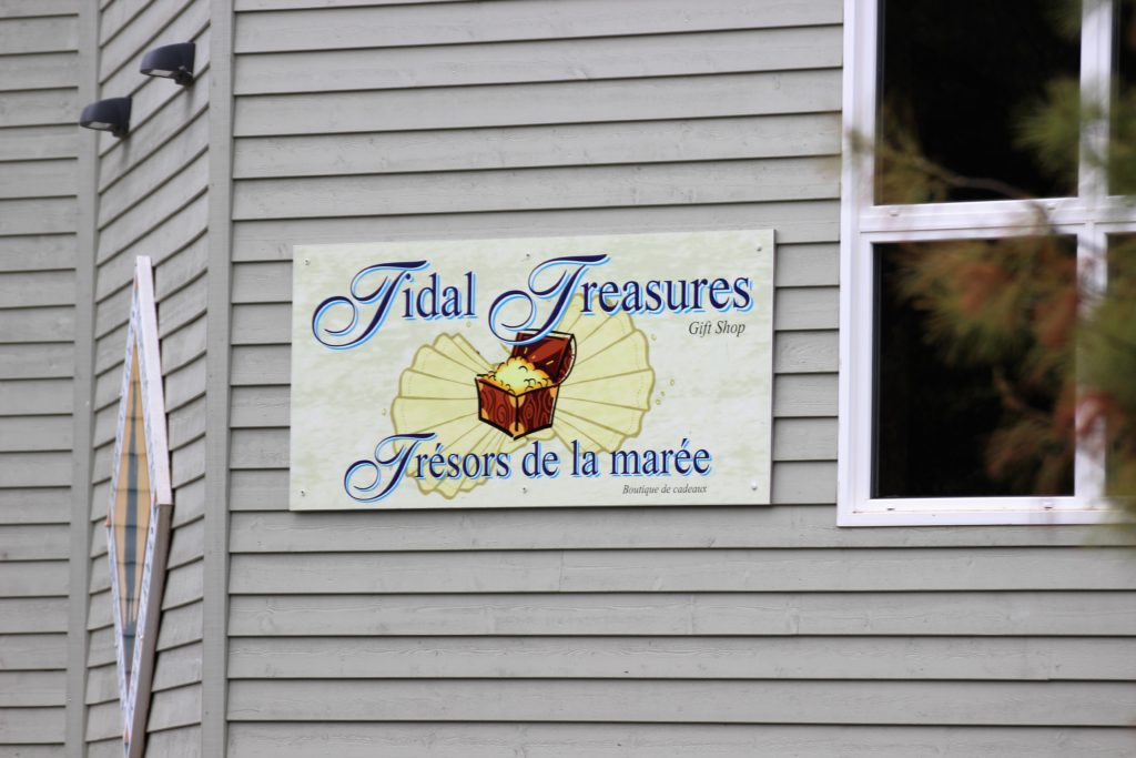

Even in Canada! 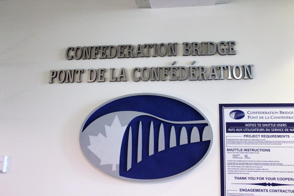

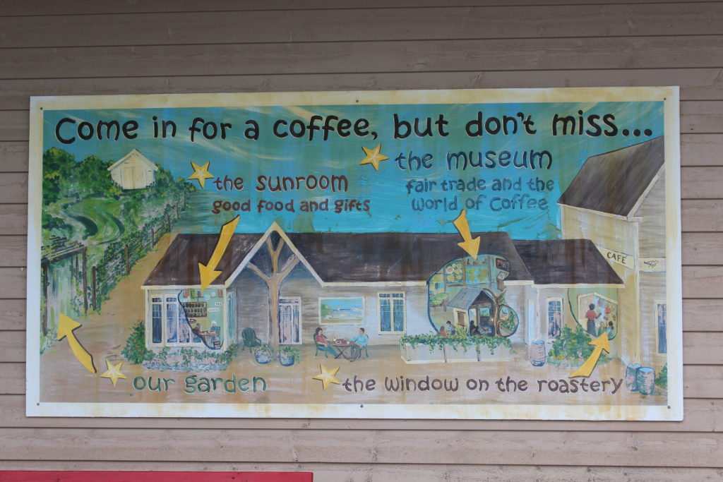
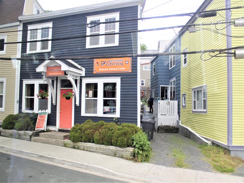
Mmm…coffee! 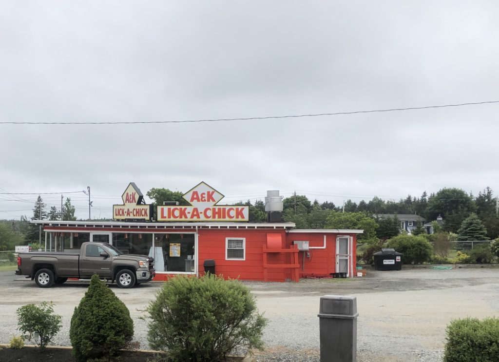
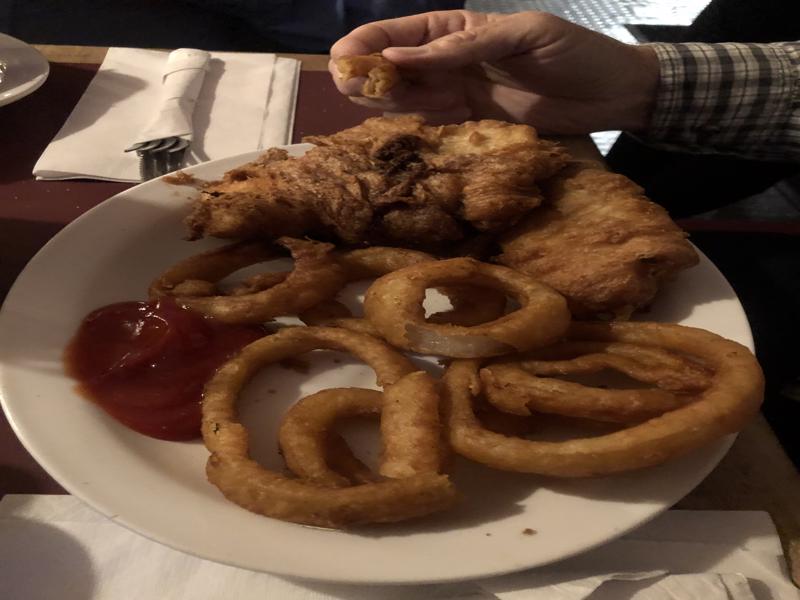
We ate here one day- it was delicious! I licked my fingers! 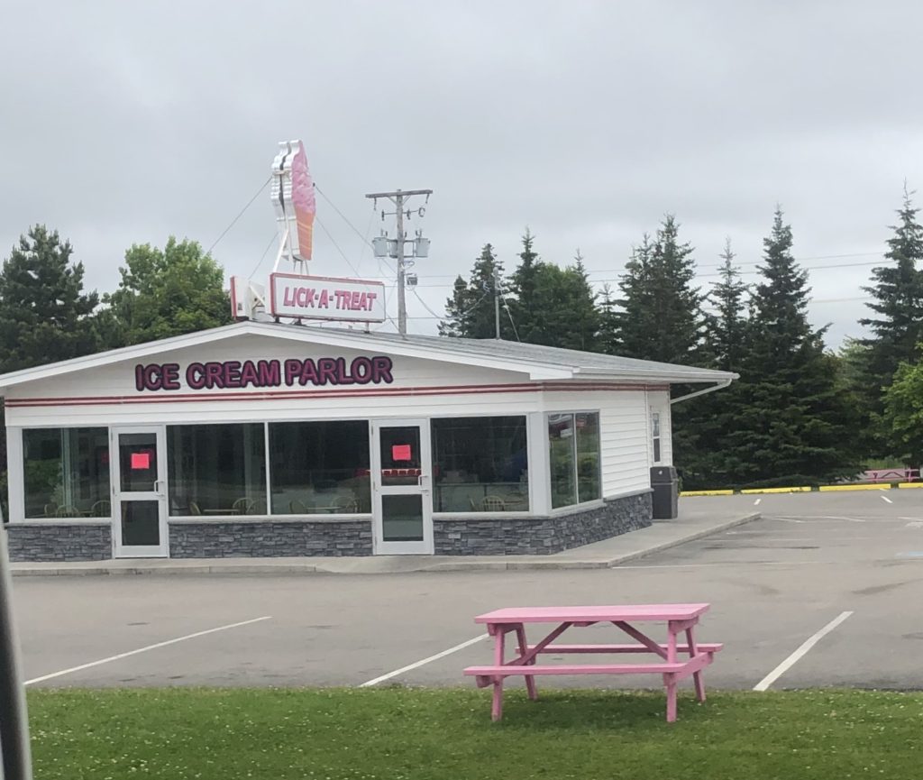
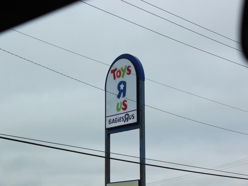
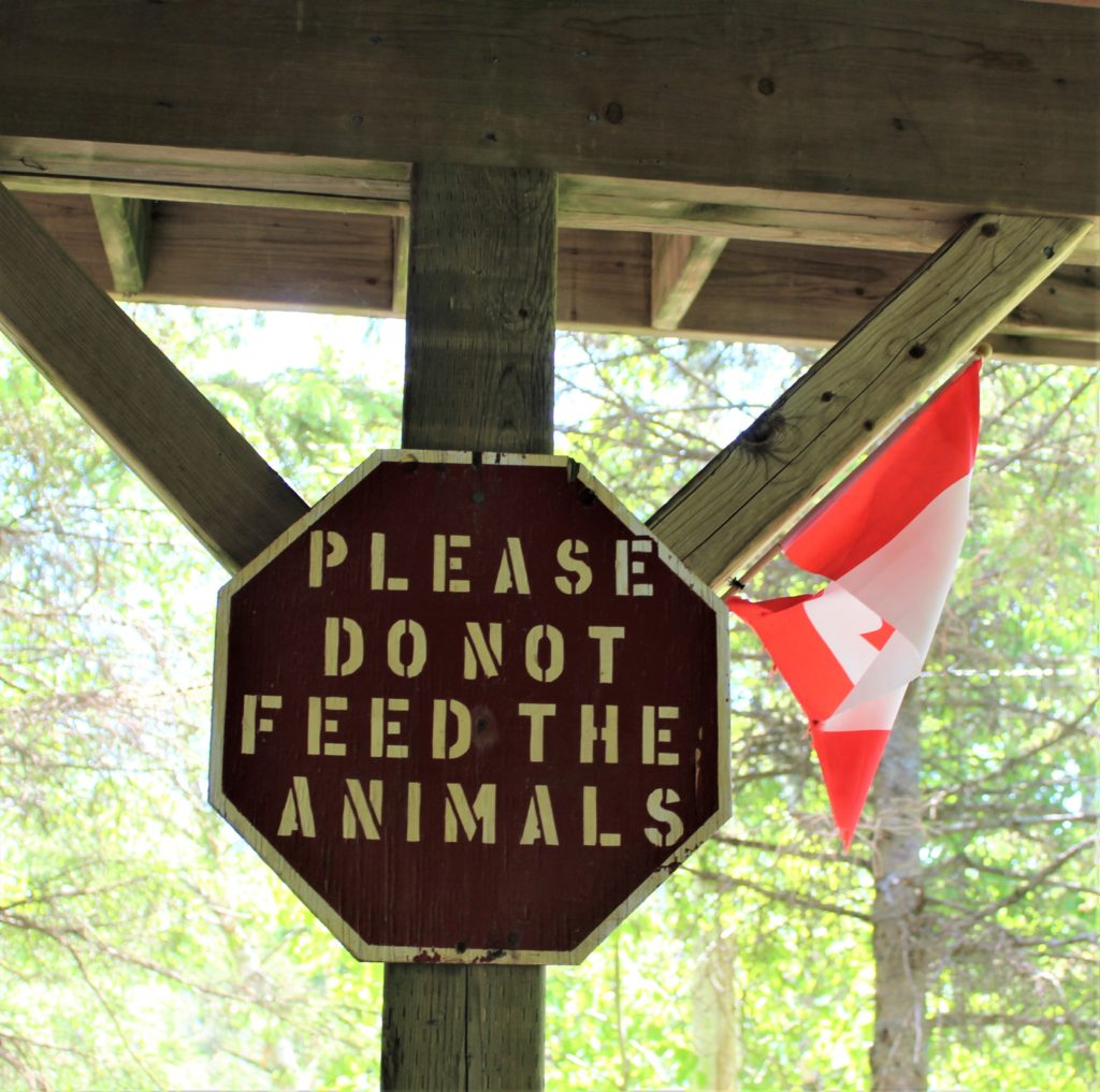
Still more signs!


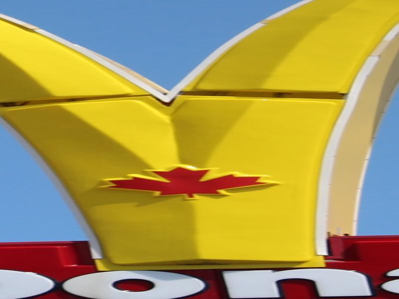
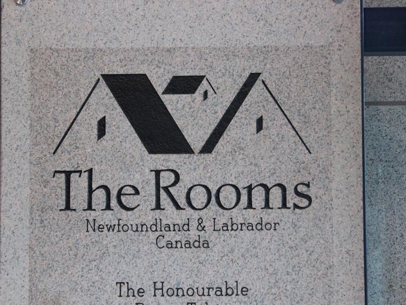
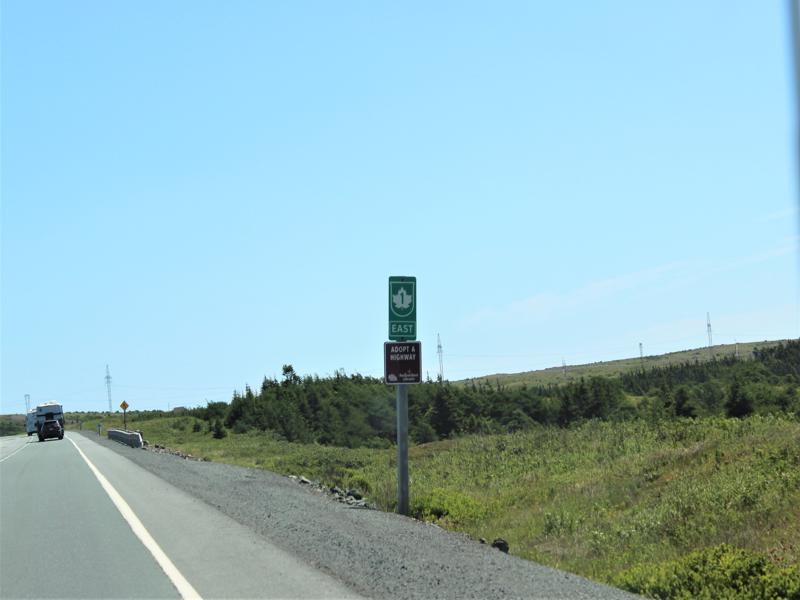
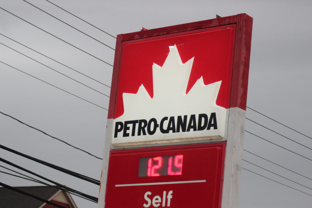
Maple leaf in the center of the ‘M’ 
Sometimes I think I need this sign.