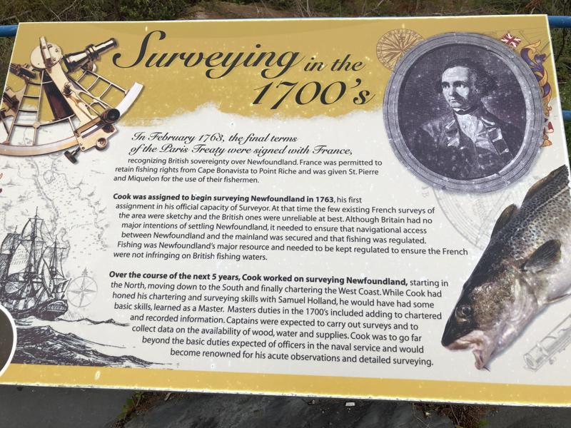
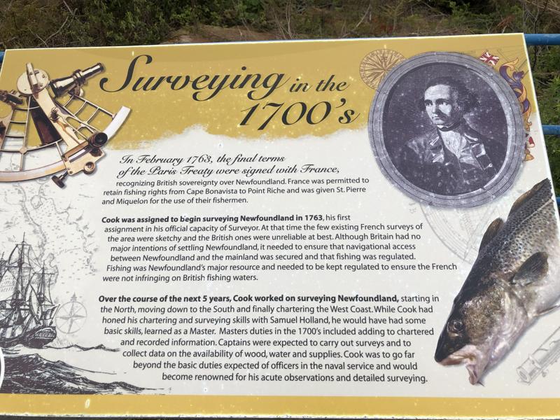
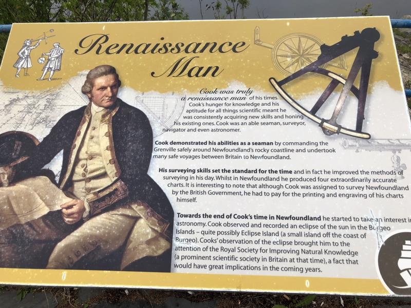
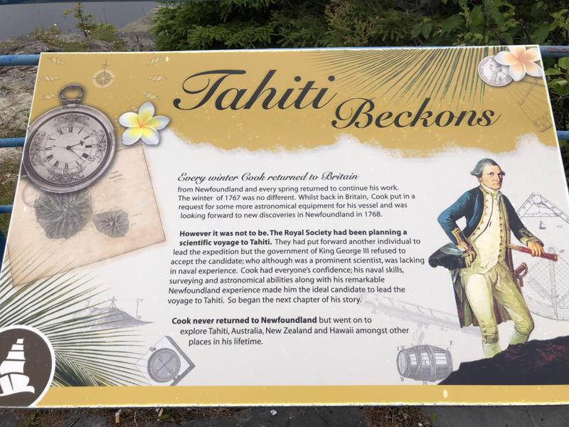
Today, on our way to Portland Creek, NL, we made a stop at the Captain James Cook Memorial. Don’t get him confused with Disney’s Captain Hook! This guy was a real-world traveler. He was known for his cartography skills (map making.) After the 7 Years’ War between the British and French, Britain was in control of northeastern America, including what had been New France. The British government had surveys of the land made so that the French could still fish in their areas according to the French Treaty Shores after the areas had been ceded to France in 1763 as a fishing base.
Captain Cook first surveyed St. Pierre and Miquelon before the islands were handed over to France. As Captain Cook surveyed the coastline of Newfoundland, he had quite the influence on some of the names used. Sometimes it was that he anglicized existing names, or he would use his own name. A few of his close navel superiors’ names were also used. At Unfortunate Cove he injured his hand. I wonder what he did?
These first photos are of us climbing the hill to get to the monument. It was in the town, up on a high hill! We were lucky to get down from there after visiting!

Following the Moffetts through town. 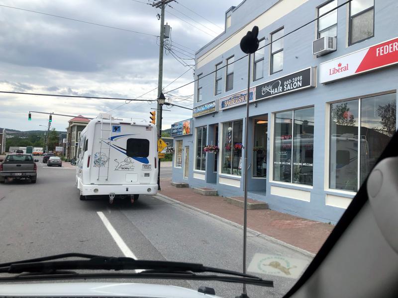

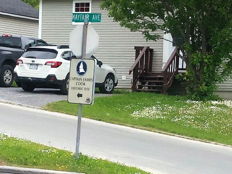
Yes, and through a neighborhood! 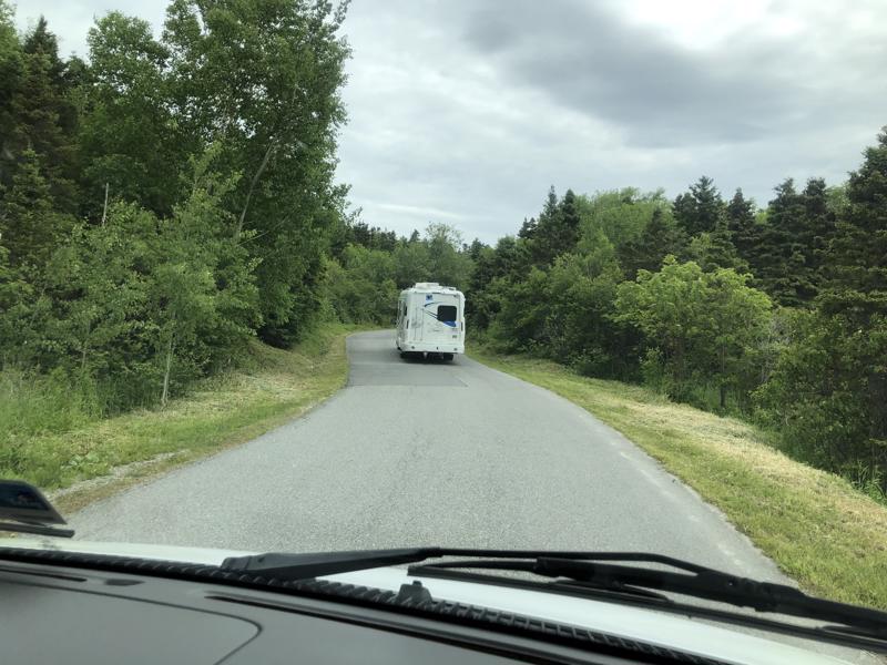
Then up a very steep hill! 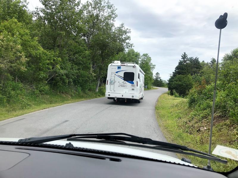
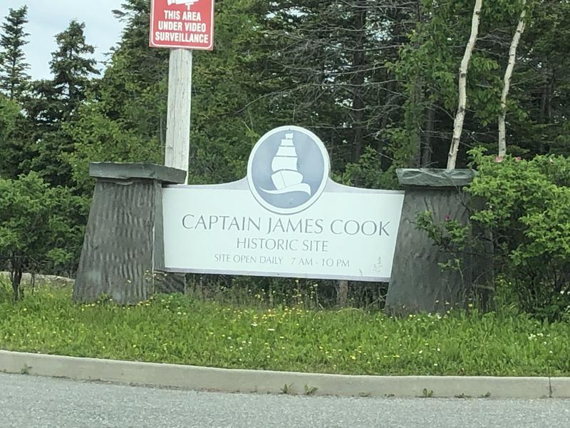
We made it! 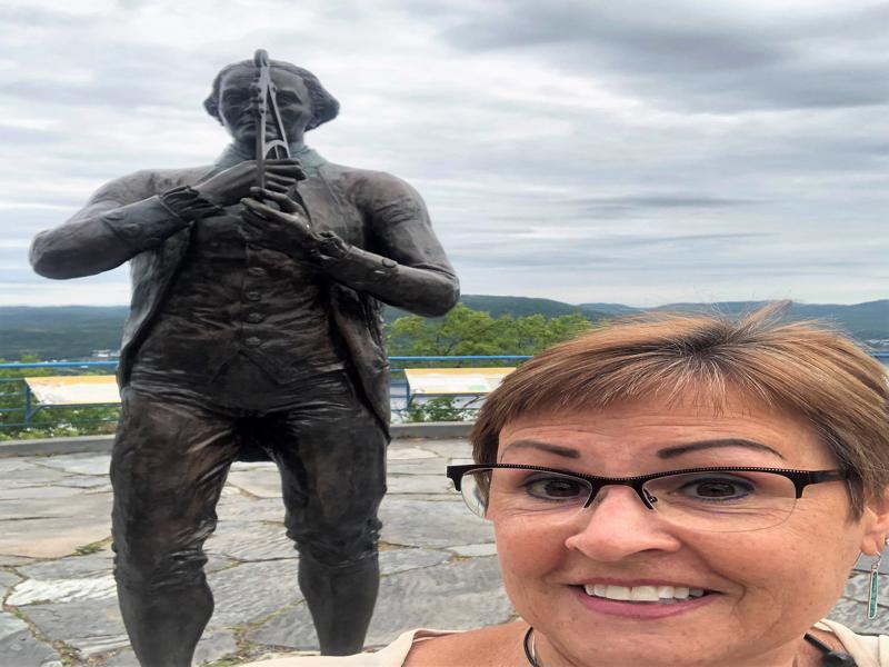
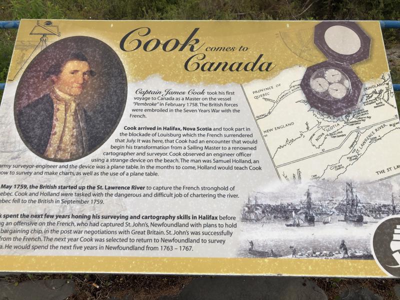

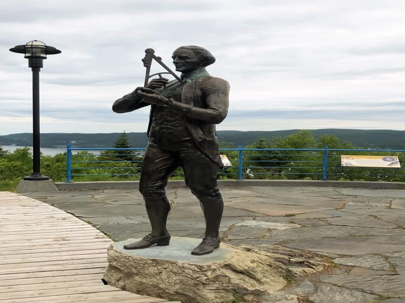
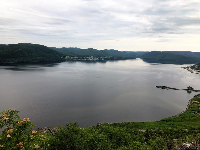
View from the top! 
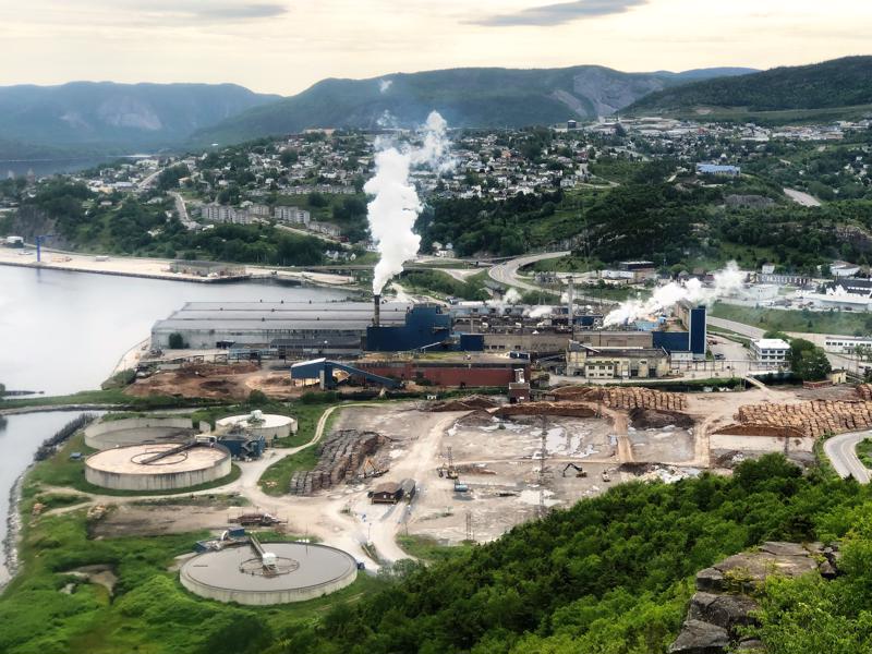
Paper mill – STANKY! 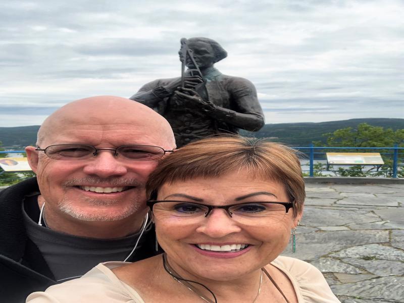


Sea rose 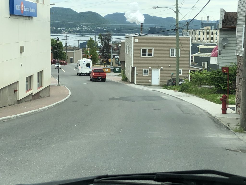
Back down the hill and out of town. 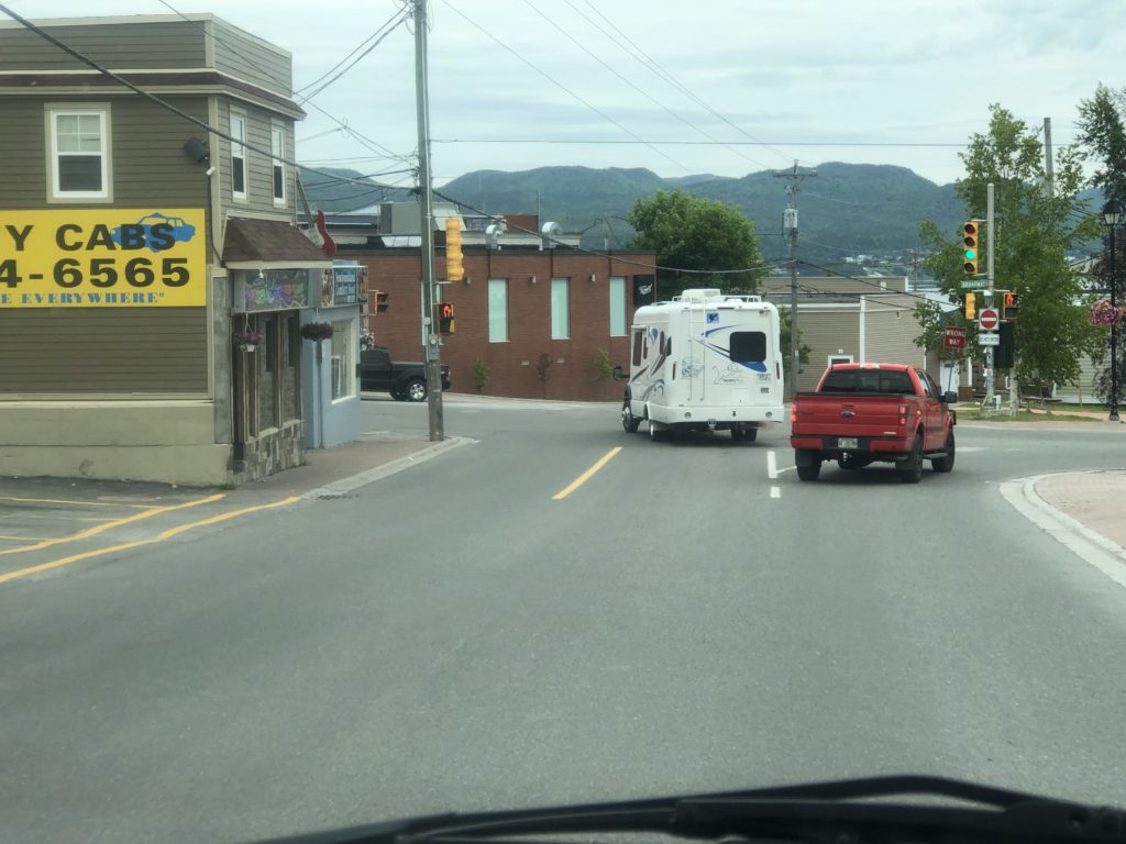

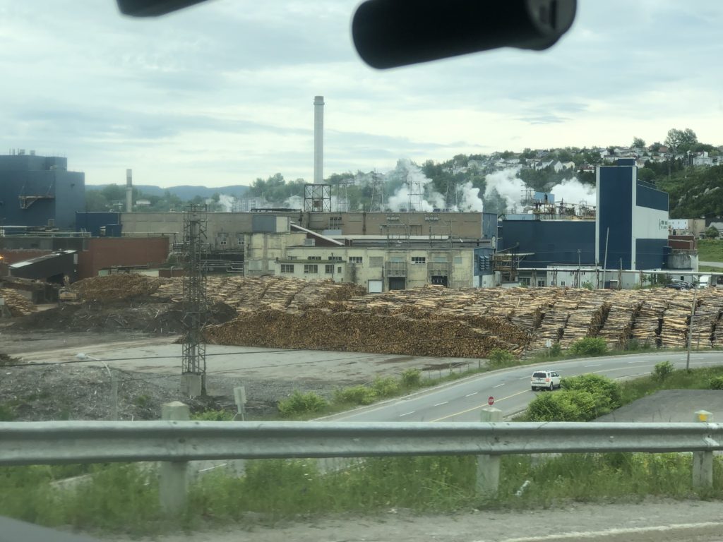
Those stacks are logs for the paper mill. 
See the logs? It’s so many! And they are champs at recycling here. 
I need that sign. All new drivers have this in the back window.
